DNR lake ID 26009700
Pomme de Terre Lake
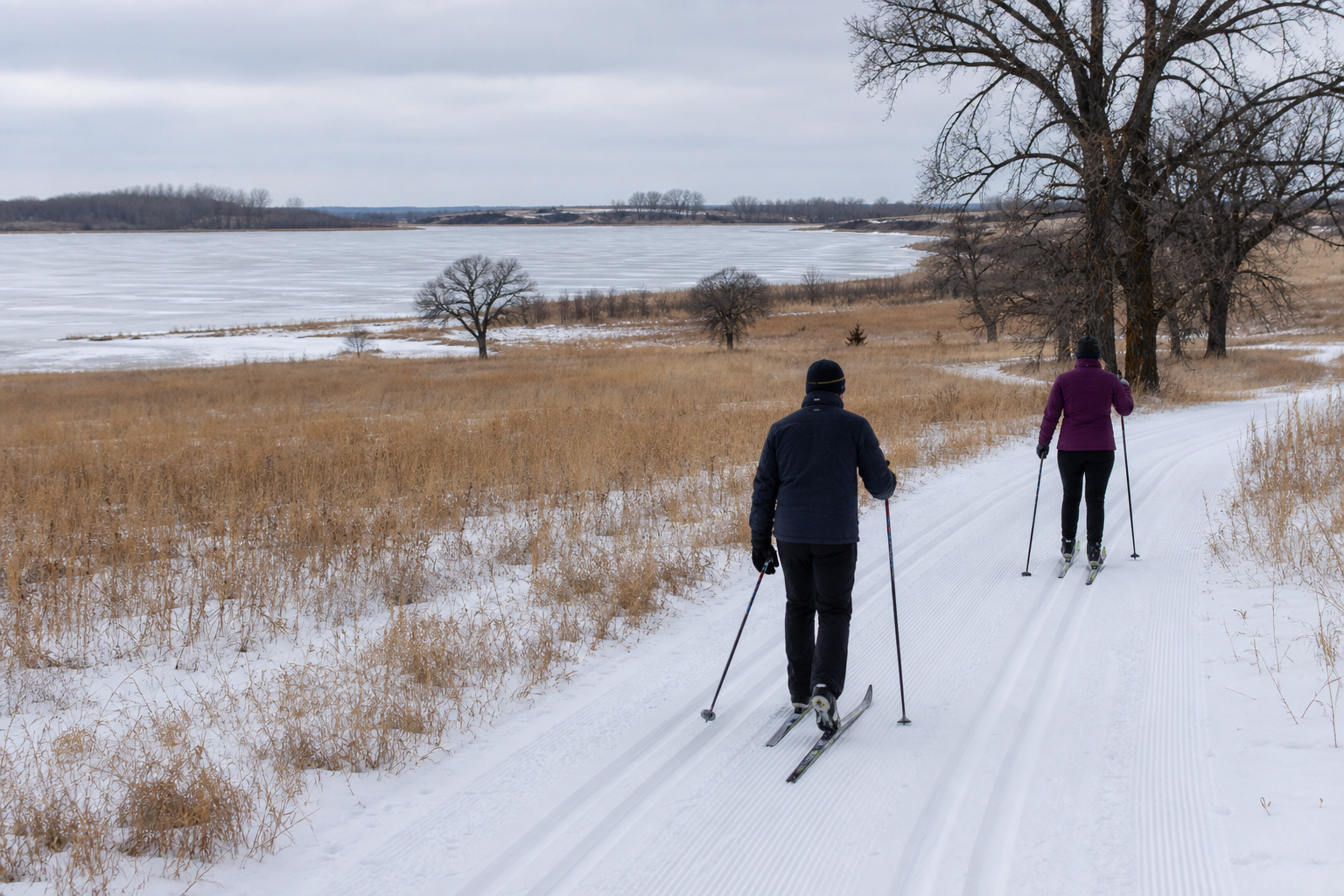
Pomme de Terre Lake is a named Grant County basin on the Pomme de Terre River east of Elbow Lake; Tipsinah Mounds Park and Campground is on its shore.
Continue to the lake directory
Northwest Minnesota · Pomme de Terre River lakes, prairie wetlands and oak shores
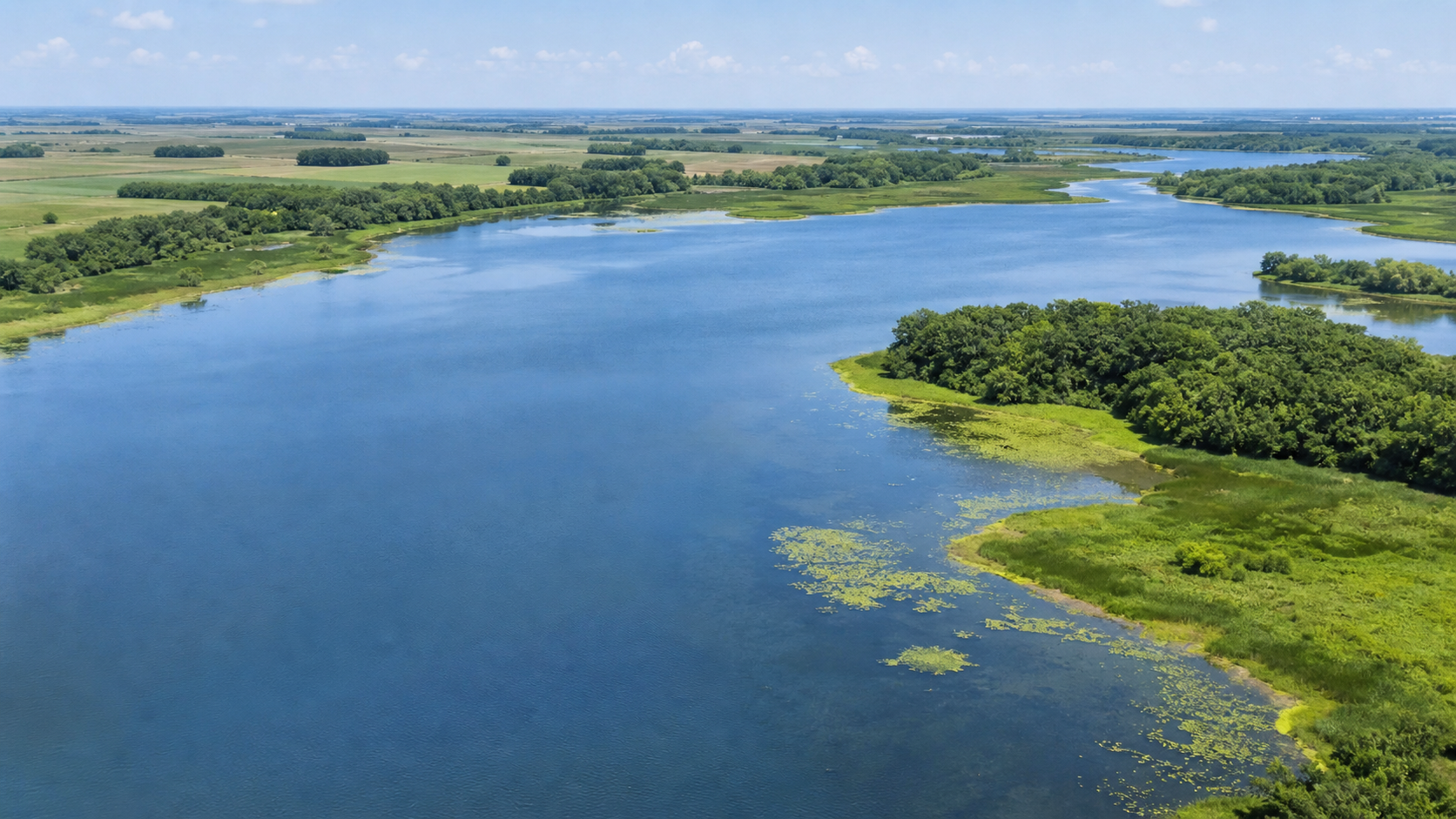
Grant County follows the Pomme de Terre River through a glacial prairie landscape. Pomme de Terre and Barrett are connected river lakes, while Flekkefjord and Lightning are separate named basins. Elbow Lake is the county hub; Ashby, Barrett, Herman, Hoffman, Norcross and Wendell provide other community bearings. Start with an exact DNR identity, then verify access and current conditions.
Accessible orientation
Elbow Lake sits near the county center. Pomme de Terre Lake and Flekkefjord are east and northeast of town; Barrett Lake is south along the same river corridor. Lightning Lake lies northwest toward Norcross. Use the county GIS and DNR records for turn-by-turn orientation.
Canonical named-lake discovery
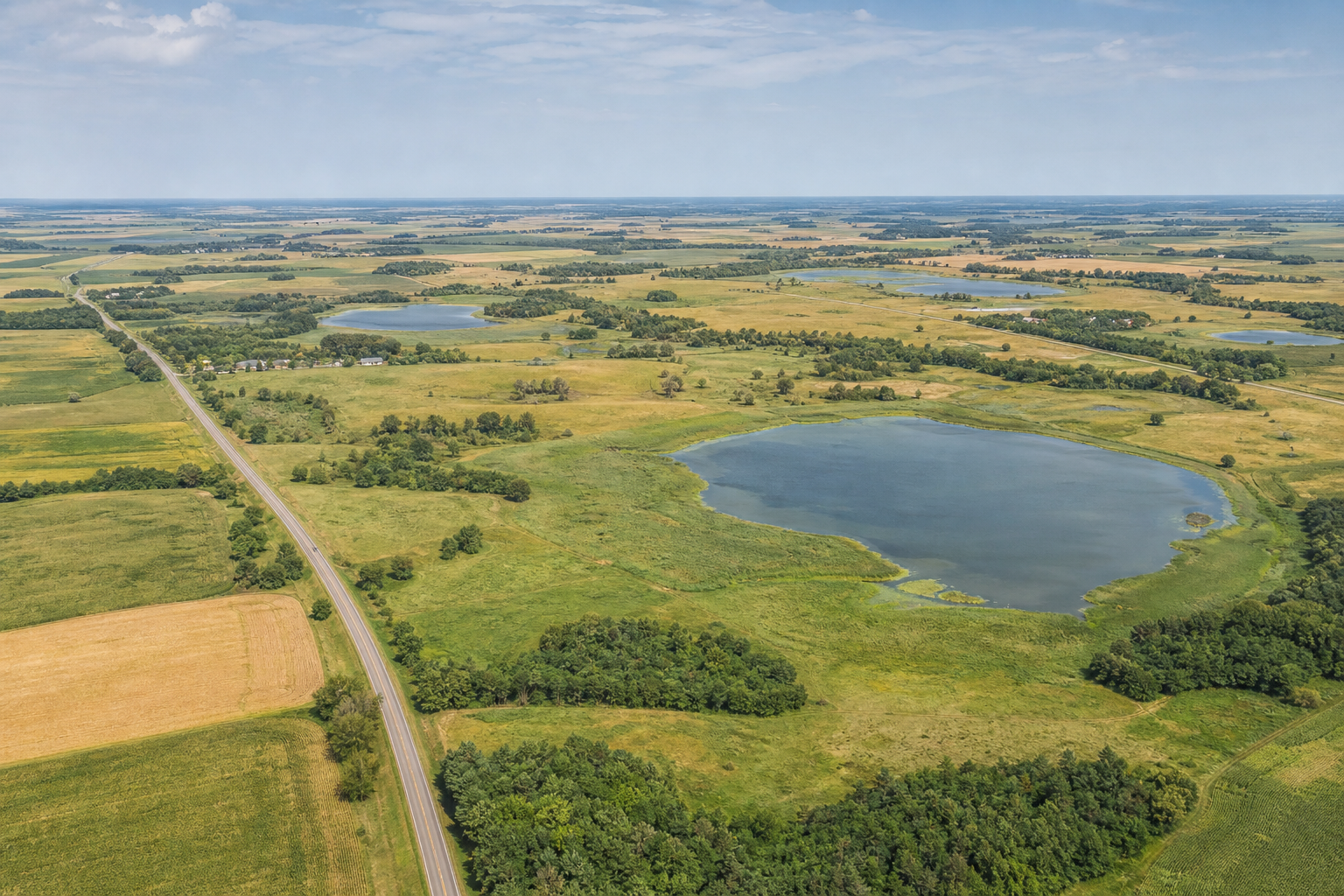
These records come from the official Grant County Public Waters Inventory, county shoreland records and the versioned county catalog. Unnamed waters are excluded. Use official records for the newest identity and classification status.
DNR lake ID 26009700
Pomme de Terre Lake is a named Grant County basin on the Pomme de Terre River east of Elbow Lake; Tipsinah Mounds Park and Campground is on its shore.
Continue to the lake directoryDNR lake ID 26009500
Barrett Lake lies beside the city of Barrett and receives the Pomme de Terre River before it continues south.
Continue to the lake directoryDNR lake ID 26014200
Flekkefjord is a separately numbered named basin in Pomme de Terre Township, north of Pomme de Terre Lake.
Continue to the lake directoryDNR lake ID 26028200
Lightning Lake is a named basin in the county’s northwest, distinct from the Pomme de Terre River lakes.
Continue to the lake directory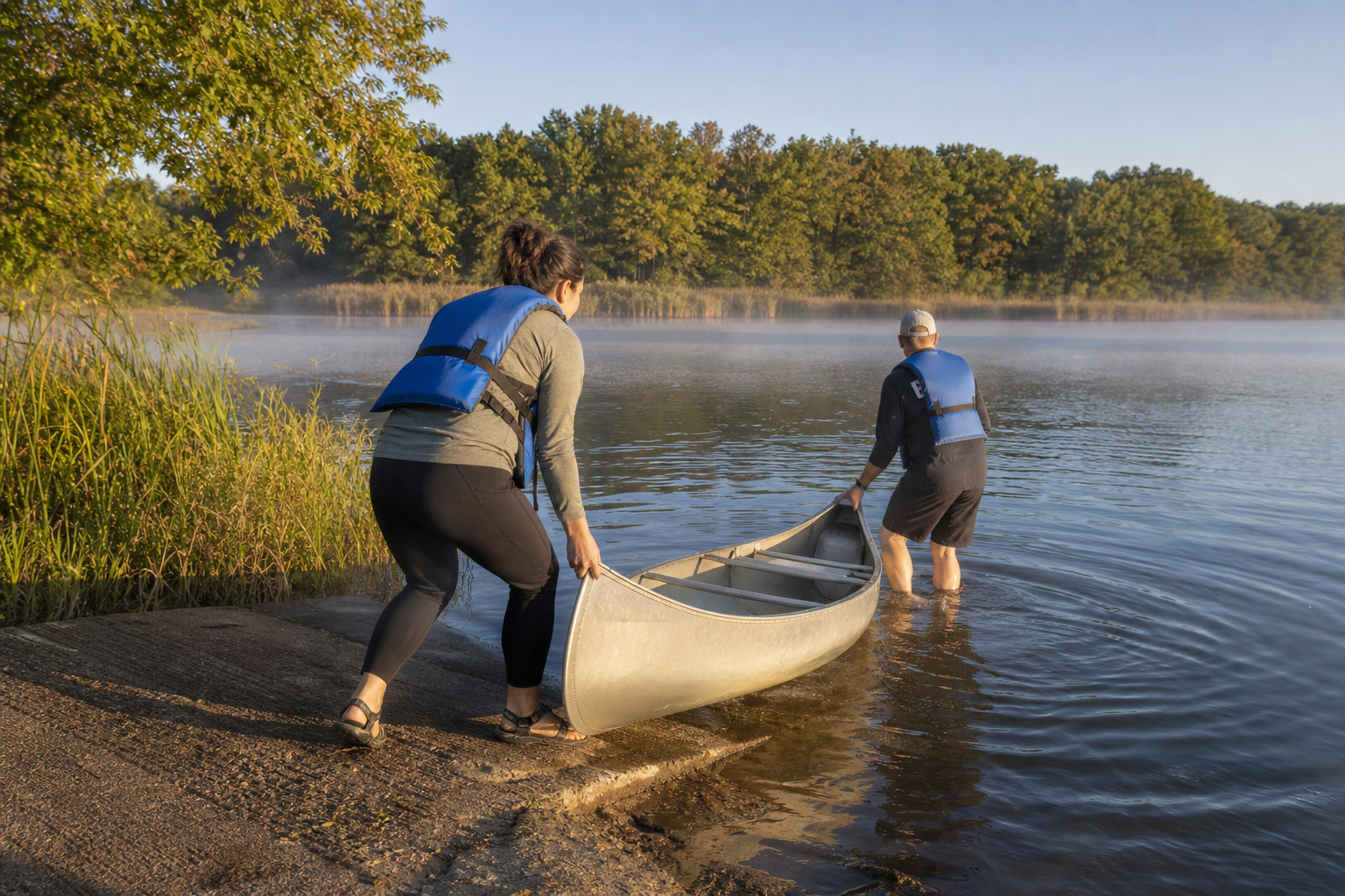
Fishing, river lakes and a municipal campground base
Access status, reservations, water conditions, fishing rules and trail conditions change. Confirm them with the responsible agency before travel.
The City of Elbow Lake operates Tipsinah Mounds Park and Campground on Pomme de Terre Lake. Its current visitor listing identifies camping, a public boat launch, beach, picnic shelters and hiking trails; confirm dates, reservations and notices before travel.
Check the current campground listingThe Pomme de Terre River links the county’s eastern lake corridor, entering Pomme de Terre Lake and continuing through Barrett Lake. Use official lake and access records rather than assuming the entire corridor is navigable.
Search official LakeFinderMinnesota DNR and state geologic records document the Pomme de Terre River valley and Grant County’s glacial deposits. LakeFinder brings current fisheries, access, water-quality and consumption records together by exact lake ID.
Open official LakeFinder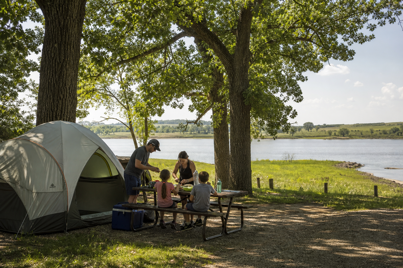
Use LakeFinder and the official county access map for the exact basin. Then check current fishing regulations, aquatic-invasive-species notices and Minnesota fish-consumption guidance. A familiar lake name is not enough.
Communities and seasons
Elbow Lake is the county seat and central service hub. Ashby and the Pelican Lake area orient the northeast; Barrett follows the river south of Pomme de Terre Lake; Herman and Hoffman anchor the south; Norcross and Wendell orient the west. Events are date-sensitive, so verify an organizer listing before traveling.