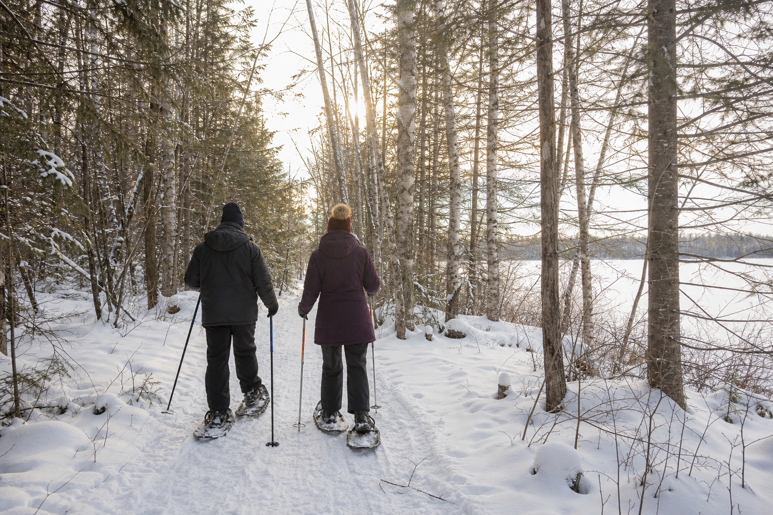
DNR lake ID 68000400
Hayes Lake
DNR identifies Hayes as a 182-acre managed fishery lake in the Roseau River watershed. The state-park guide explains that it was created by impounding the North Fork Roseau River and limits motors to electric power.

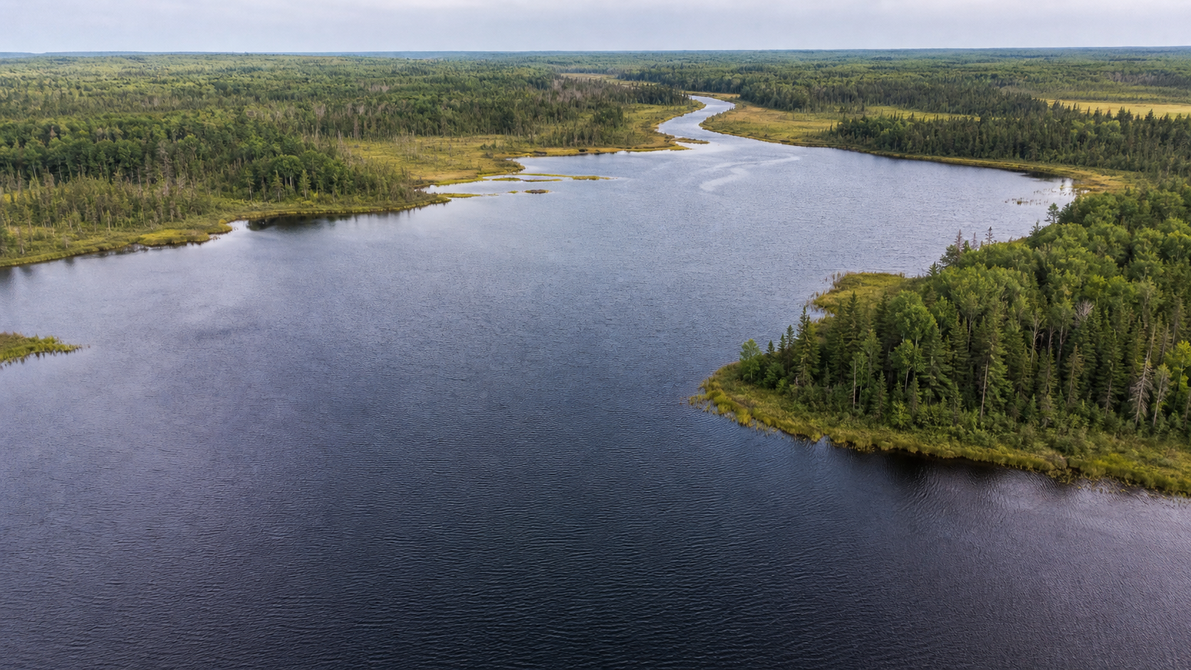
Northwest Minnesota · border-country lakes, river wetlands and forest
Roseau County reaches from the Canadian border to the Lake of the Woods shore. Its official water inventory names a compact set of waters rather than a dense lake district: Hayes Lake on the North Fork Roseau River, Mud and Marvin lakes, Hank’s Lake, three managed wildlife pools, and the county’s share of Lake of the Woods. This guide joins those honest lake identities to Hayes Lake State Park and the wetland system of Roseau River Wildlife Management Area.
Accessible orientation
Badger, Greenbush, Roseau and Warroad form useful east–west bearings on the maintained MnDOT county map; Roosevelt and the Lake of the Woods shoreline lie farther east. Hayes Lake State Park is south of Roseau, while Roseau River WMA occupies the county’s broad northwestern wetland country. Use maintained maps for exact roads, boundaries and seasonal access.
Canonical named-lake discovery
The final DNR inventory lists Mud, Marvin, Hayes and Hank’s lakes plus Pools I, II and III as locally numbered named waters. Lake of the Woods crosses county and international boundaries and keeps one canonical MinnesotaLakes identity under Lake of the Woods County. Unnamed waters and dam labels are excluded.
DNR lake ID 68000400
DNR identifies Hayes as a 182-acre managed fishery lake in the Roseau River watershed. The state-park guide explains that it was created by impounding the North Fork Roseau River and limits motors to electric power.
These are distinct official identities: Mud 68-1, Marvin 68-2 and Hank’s 68-21. The inventory establishes their names and township locations; it does not establish visitor access, fish populations or present conditions.
The three numbered pools are protected-water identities within the managed wetland landscape. Treat them as habitat-management waters, not conventional resort lakes, and follow current WMA rules and posted closures.
Park, fishery and wetland pathways
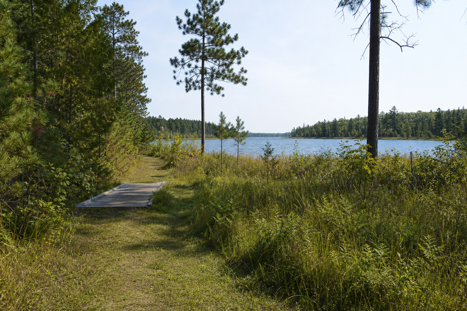
Hayes Lake State Park supports fishing, paddling, swimming, birding, camping and mapped foot and horse trails. Roseau River WMA maintains pools, dikes, walking trails, campsites, parking and water accesses for wildlife-focused public use. Conditions, seasons and rules can change, so official operator information remains the final check.
The park map identifies the 2.4-mile Homestead loop, 2.5-mile one-way Pine Ridge Trail and 4-mile one-way Moose Ridge Trail, plus drive-in and hike-in camping. Confirm reservations and closures before travel.
Open the official park guideUse LakeFinder and current regulations for water-specific fishery, access and rule information. A managed-fishery label or access symbol never guarantees a catch or a usable launch.
Prepare for fishingUse Roseau, Warroad, Badger, Greenbush, Roosevelt and Strathcona as verified community bearings. Consult the MinnesotaLakes event record before building a trip around a dated fair, festival or cultural program.
Check verified events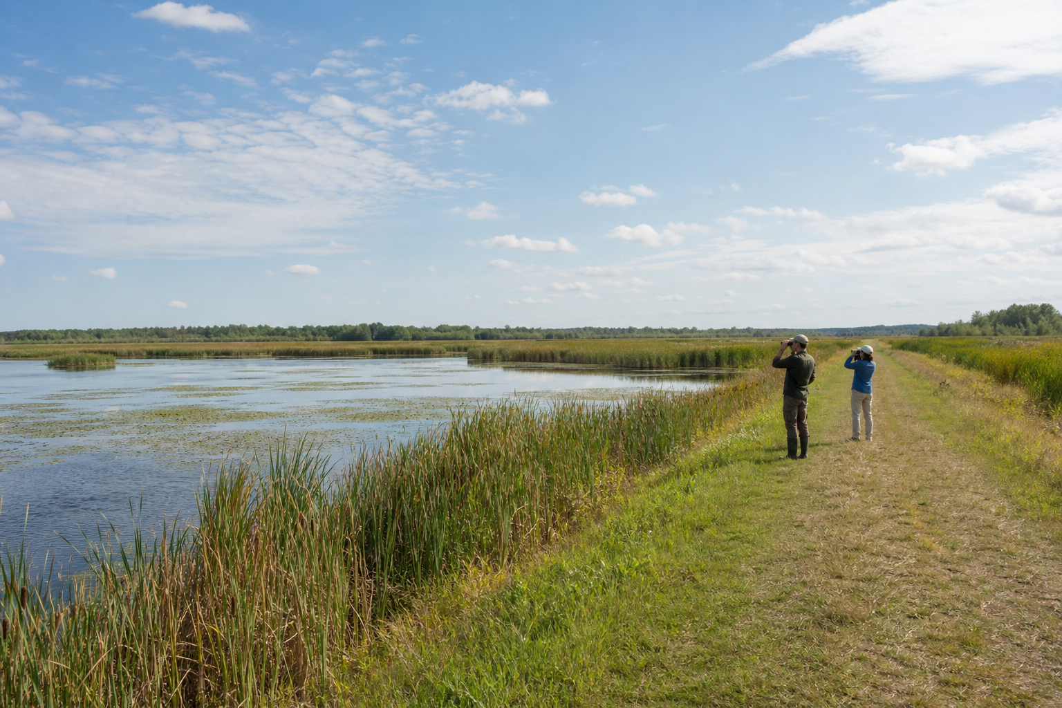
DNR’s current work-area page describes four large wildlife pools, nine moist-soil cells and a 27-mile dike system. Late-summer wildlife viewing is one documented use, but visitors must check current WMA rules, hunting activity, gates and route status.
Explore recreationFour-season planning