DNR lake ID 75004600
Lake Charlotte
A distinct named basin east of Morris with a DNR-administered concrete access in the official county map. Match the full number before using LakeFinder.

Northwest Minnesota · Prairie lakes, pothole wetlands and the Pomme de Terre River
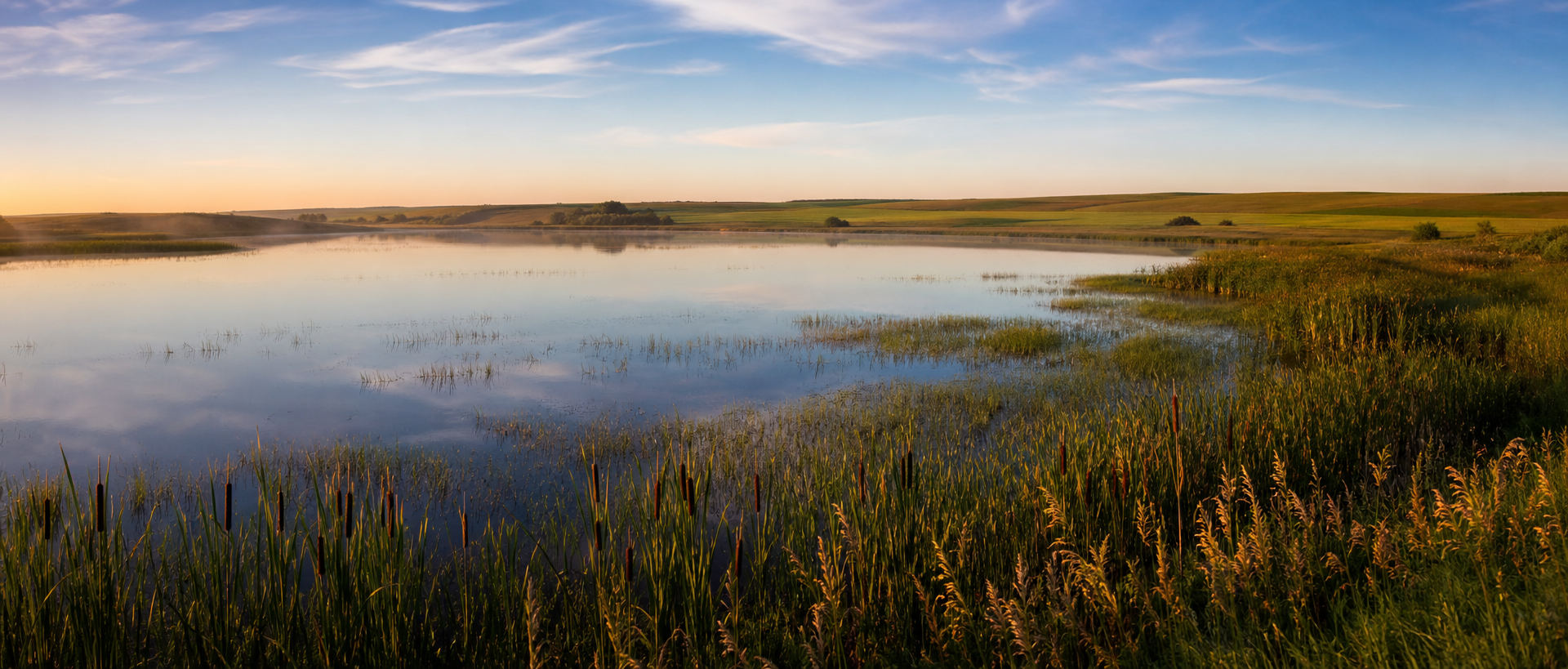
Stevens County is prairie lake country rather than northwoods: named basins sit among farm fields and restored pothole wetlands, while the Pomme de Terre River crosses the county near Morris. This guide joins four exact DNR lake identities to public accesses, river planning and the Morris Wetland Management District without treating a shoreline or generated image as proof of access or present conditions.
Accessible orientation
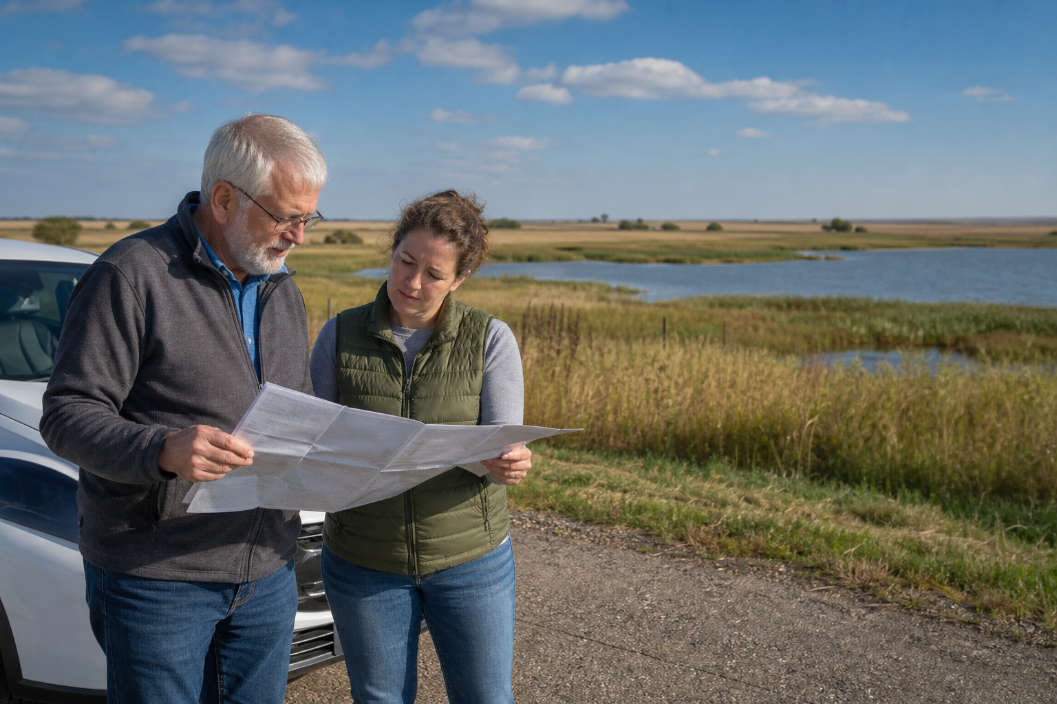
US 59 and Minnesota 9 meet at Morris; Minnesota 28 crosses the county through Alberta, Morris and Hancock. Lake Charlotte and Long Lake lie east of Morris, Perkins Lake is north of the city, and Hattie Lake is in the county’s south. These are planning bearings only: use the current operator map for the last road, access and seasonal notice.
Canonical named-lake discovery
The canonical shard features Lake Charlotte, Hattie Lake, Perkins Lake and Long Lake by complete eight-digit DNR number. Each is a named protected-water identity and each appears in an official access record. Unnamed records are excluded, and access details still require a current operator check.
DNR lake ID 75004600
A distinct named basin east of Morris with a DNR-administered concrete access in the official county map. Match the full number before using LakeFinder.
DNR lake ID 75020000
A named protected-water identity in southern Stevens County. The official access map lists a DNR concrete ramp; verify present conditions and regulations.
DNR lake ID 75007500
A Pomme de Terre watershed lake north of Morris with a DNR-administered concrete access. Check current aquatic invasive species notices before moving equipment.
DNR lake ID 75002400
A separate Long Lake identity east of Morris near Cyrus. Its complete number prevents confusion with the many Minnesota lakes sharing this name.
Wetlands, river and fishing pathways
Stevens County identifies Morris-area parks and five county public-water access destinations. The Minnesota DNR maintains lake, access, fishing and Pomme de Terre River information; the U.S. Fish and Wildlife Service manages visitor experiences at Morris Wetland Management District. Check the responsible operator for current conditions.
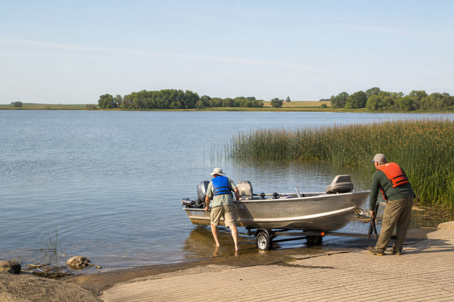
The county lists Pomme de Terre Park and other Morris parks, plus Lake Charlotte, Hattie, Perkins and Long lake accesses and a carry-in at Pomme de Terre Pool. Confirm operator, ramp, hours and restrictions before travel.
Open Stevens County parks and lakesThe access map is a planning snapshot; LakeFinder and current regulations carry water-specific details. Match the full 75-prefix ID, then check regulations and aquatic invasive species notices.
Prepare for fishingMorris, Alberta, Chokio, Donnelly, Hancock and Cyrus are the county’s mapped city bearings. The University of Minnesota Morris and Stevens County Historical Society offer cultural starting points; verify hours and event dates with each organizer.
Check verified events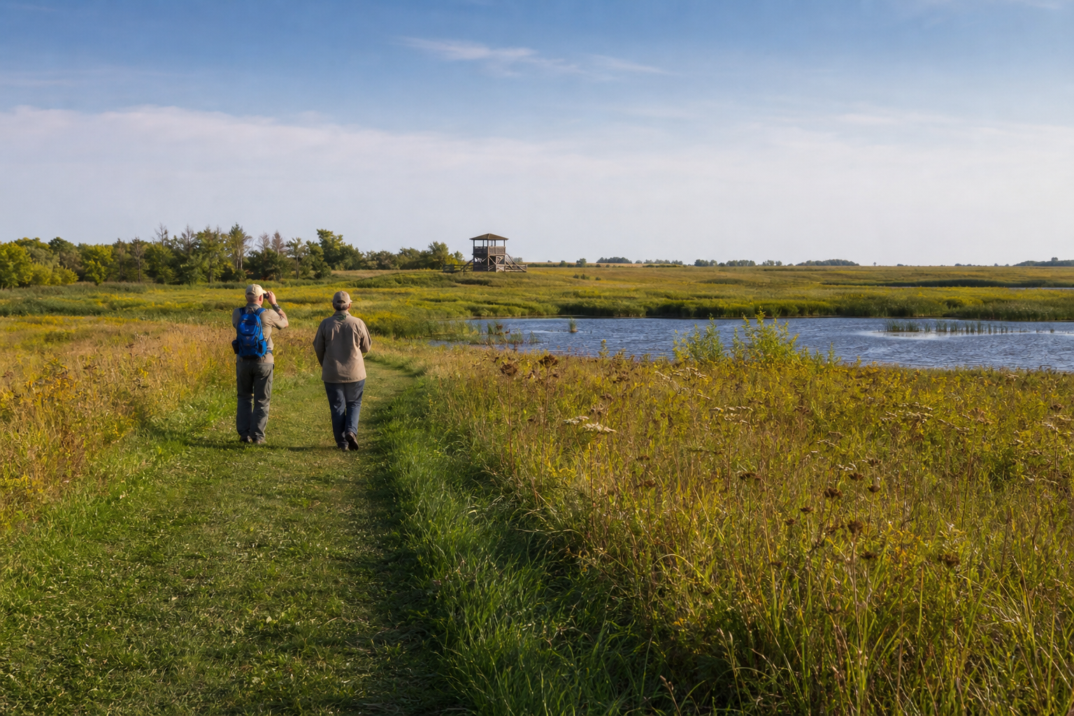
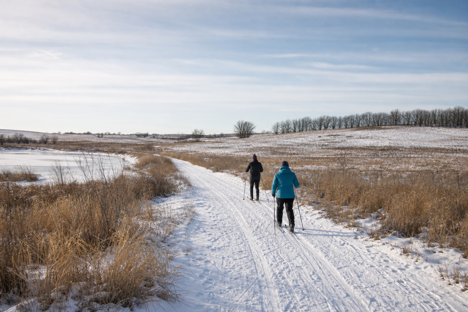
At the Morris Wetland Management District headquarters east of Morris, the Edwards Waterfowl Production Area has an auto tour, interpretive trail, short paved trail, observation deck and photography blind. Conditions and seasonal road access vary, so check the federal visitor page first.
Explore recreation Check the official visitor guideFour-season planning