ID DNR do lago 51004600
Shetek
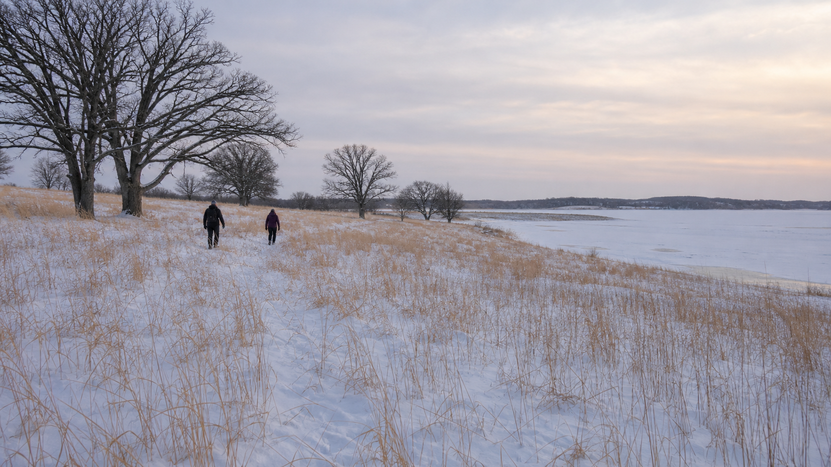
Lake Shetek is the county’s largest recreation anchor, the setting for Lake Shetek State Park and the source of the Des Moines River.
Continuar para o diretório de lagos
Southwest Minnesota · glacial lakes, prairie and city shorelines
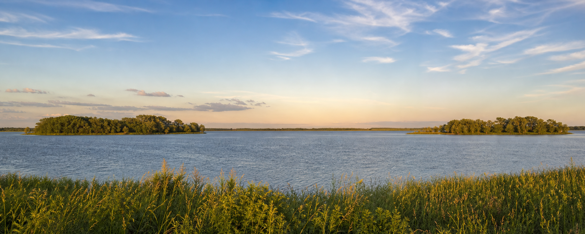
Kandiyohi County joins an urban lakefront in Willmar to Green Lake and Spicer, the rolling glacial country around New London, and broad prairie water farther south. Foot Lake puts trails and public green space beside the county seat; Lake Andrew anchors Sibley State Park; and Big Kandiyohi Lake opens onto a lower, wind-shaped horizon.
Orientação acessível
Willmar and Foot Lake form the central urban anchor. Spicer and Green Lake lie northeast; New London, Lake Andrew and Sibley State Park continue north. Big Kandiyohi Lake and its county parks lie south of Willmar, while the Glacial Lakes State Trail links Willmar and New London.
Descoberta canónica de lagos com nome
This versioned starter catalog contains four verified named DNR basins, not a countywide total. Unnamed records are excluded, and each DNR identity appears once.
ID DNR do lago 51004600
Lake Shetek is the county’s largest recreation anchor, the setting for Lake Shetek State Park and the source of the Des Moines River.
Continuar para o diretório de lagosID DNR do lago 51008200
Currant Lake is a named shallow prairie basin with DNR and county public accesses shown on the official county access map.
Continuar para o diretório de lagosID DNR do lago 51002100
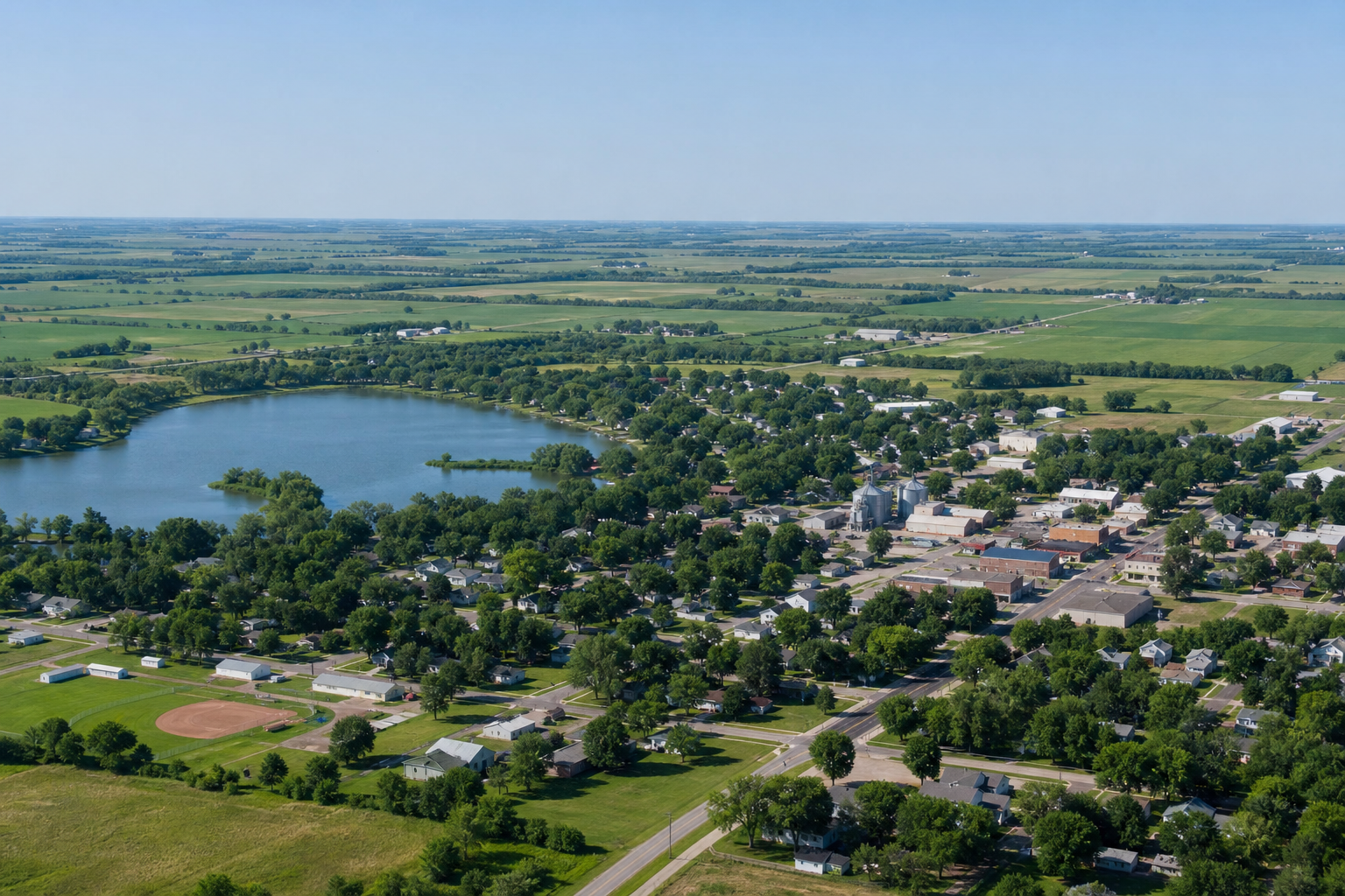
Fulda Lake is a named DNR basin beside Fulda; the official access map identifies county access on First Lake and a city fishing pier on Second Lake.
Continuar para o diretório de lagosID DNR do lago 51008100
Wilson Lake is a named DNR basin at Lake Wilson with a city-managed public access identified on the official map.
Continuar para o diretório de lagos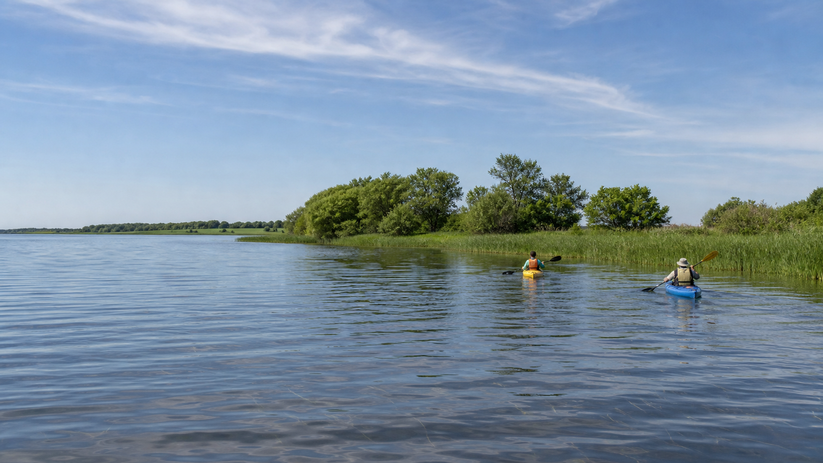
Parques, campismo e trilhos verificados
Rampas, parques de campismo, acessos a trilhos e horários sazonais mudam. Estas fontes oficiais confirmam as relações; consulte o aviso atual do gestor antes de partir.
Minnesota DNR manages camping, cabins, trails, a beach, fishing pier and boat landing on Lake Shetek. Check alerts, accessibility and reservations on the park page.
Check the state parkA six-mile paved loop links Lake Shetek State Park and Currie. The DNR trail page provides current uses, parking and condition information.
Check the state trailThe DNR identifies Lake Shetek as the source of the Des Moines River. Water levels and hazards change, so use the state water-trail guidance rather than assuming paddling conditions.
Check the water trail
Pesca e proteção da água
Green, Big Kandiyohi, Norway and Andrew have distinct DNR records. Regulations, access and aquatic-invasive-species notices can change, so confirm the water and season before fishing, then clean, drain and dispose before moving equipment.
The county’s water story spans deep ice-block basins in northern glacial moraine, shallower prairie basins to the south, and public shorelines woven into Willmar, Spicer and New London. Use official park interpretation and current calendars for verified cultural and natural-history programs.
Planeamento para as quatro estações