Depth
A weighted line, sonar, or mapped soundings describe the basin. Maximum depth is one point—not the lake’s average depth or total volume.

A lake is a basin, a watershed, a layered water column, and a living community at once. Learn what scientists measure—and what one number cannot tell you.
Many Minnesota lake basins reflect glacial erosion and deposits from the last ice age; other basins occupy river channels, bedrock depressions, or engineered impoundments. Water reaches them as precipitation, runoff, streams, and groundwater, then leaves through outlets, groundwater, and evaporation.
The watershed is all the land draining toward a shared waterbody. Its soils, wetlands, vegetation, streets, farms, and shorelines influence how quickly water moves and what it carries.
Read values together, with units, methods, locations, seasons, and dates.
A weighted line, sonar, or mapped soundings describe the basin. Maximum depth is one point—not the lake’s average depth or total volume.
A Secchi disk is lowered until it disappears from view. Sun, waves, observer, algae, and suspended material can affect the reading.
A vertical profile reveals whether warm surface water sits above a colder deep layer, with a transition zone between them.
Phosphorus and nitrogen support growth, but excess inputs can increase algae and alter oxygen, habitat, and food-web conditions.
Plants, algae, microbes, invertebrates, fish, birds, and people interact with light, oxygen, temperature, habitat, and one another.
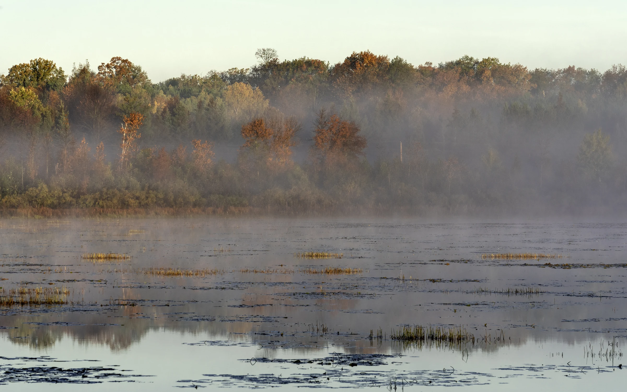
Sun warms surface water. In a sufficiently deep lake, density differences can resist mixing and create warm, transition, and cold layers. Cooling and wind can later mix the water column again. Timing and strength vary among lakes and years.
Different tools see different parts of a lake, at different scales.
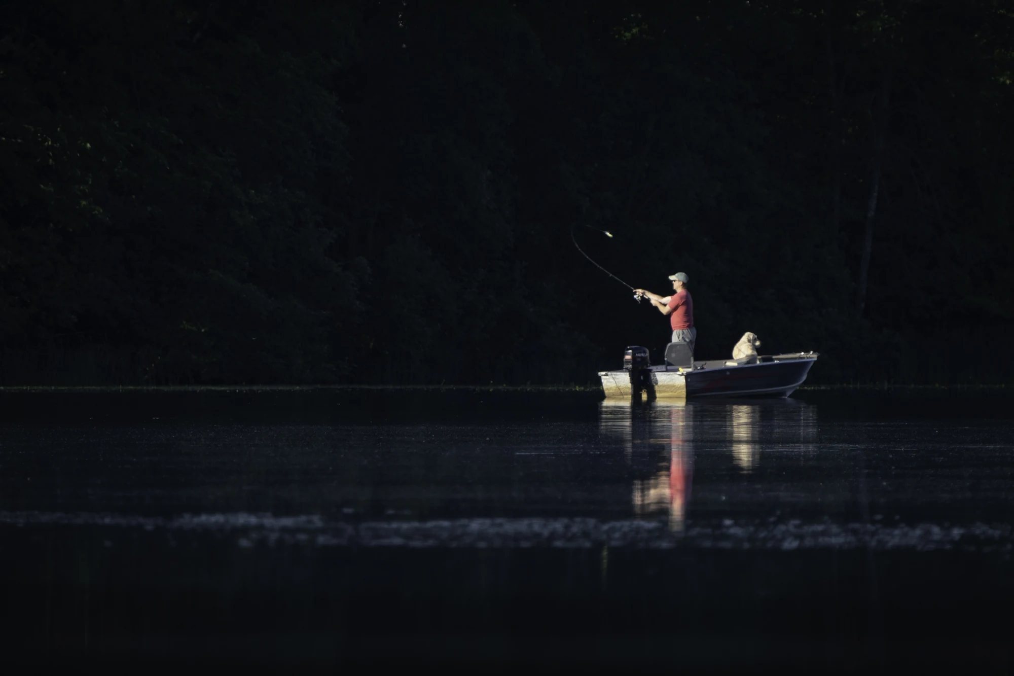
Crews and trained volunteers collect Secchi readings, water samples, temperature and oxygen profiles, depth soundings, aquatic-plant observations, and fisheries survey data. Sampling design determines what the results represent.
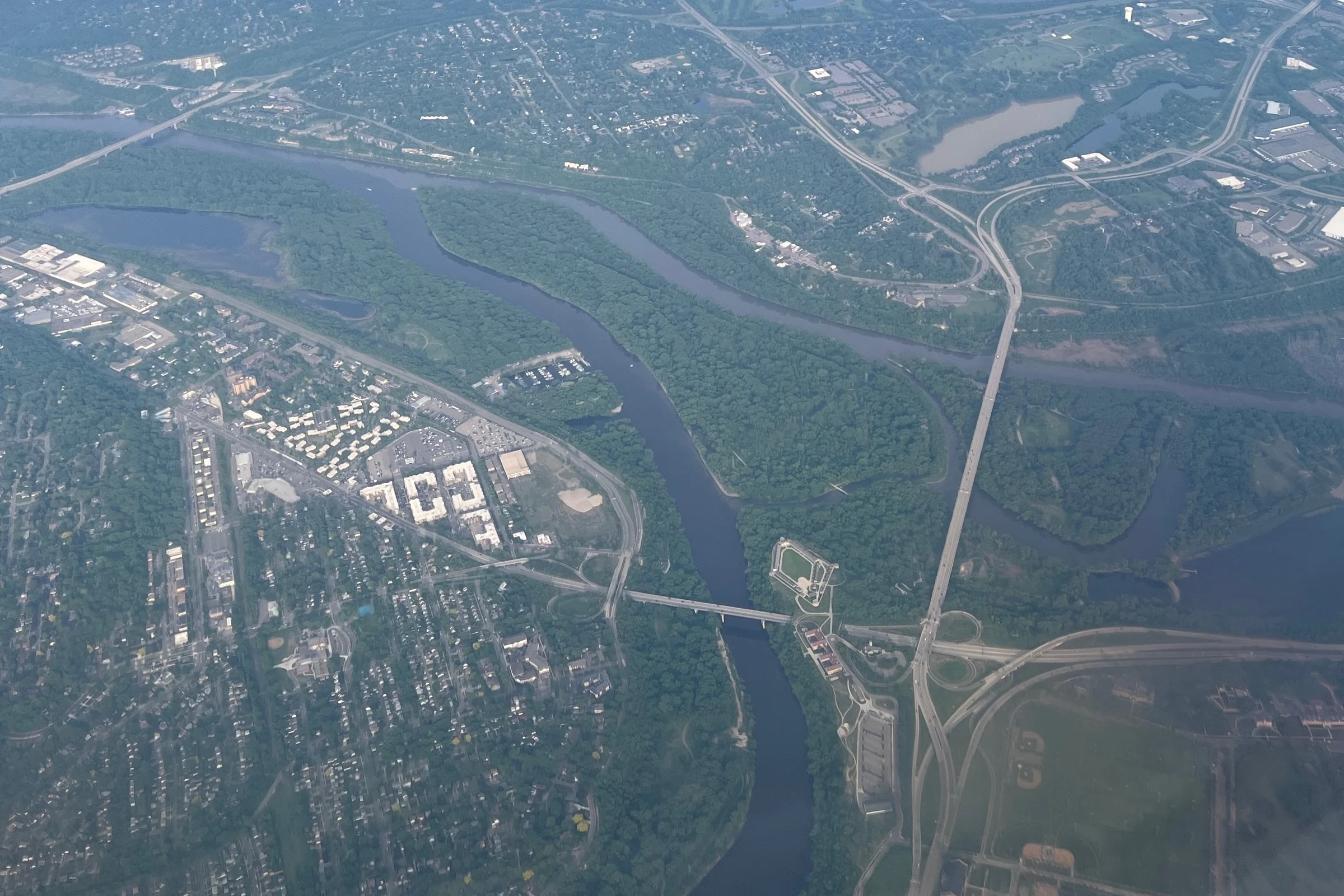
Satellites measure reflected light. Calibrated models can estimate properties such as clarity or color across many lakes, but clouds, shoreline pixels, lake size, and method limits affect availability and interpretation.
Start in the MinnesotaLakes lake directory, keep the exact DNR lake identity with you, and compare only fields that show their source and freshness.
Pathways reviewed July 27, 2026. Measurements and assessments retain their own observation and update dates at the source.
Lake descriptions, fisheries surveys, depth maps, water-access information, and other available records.
Open official source (opens in a new tab)Water-quality monitoring, assessment methods, watershed work, and lake condition records.
Open official source (opens in a new tab)Satellite-derived lake clarity and color observations, with dates and method documentation.
Open official source (opens in a new tab)MNGeo’s Minnesota Geospatial Commons catalogs state mapping layers and their metadata.
Open official source (opens in a new tab)