跳到主要内容
Find the water. Read the record.

Maps & Lake Data

Start with a Minnesota region, county, lake or river. Then use official maps and dated measurements to understand the place—without mistaking a static record for today’s conditions.

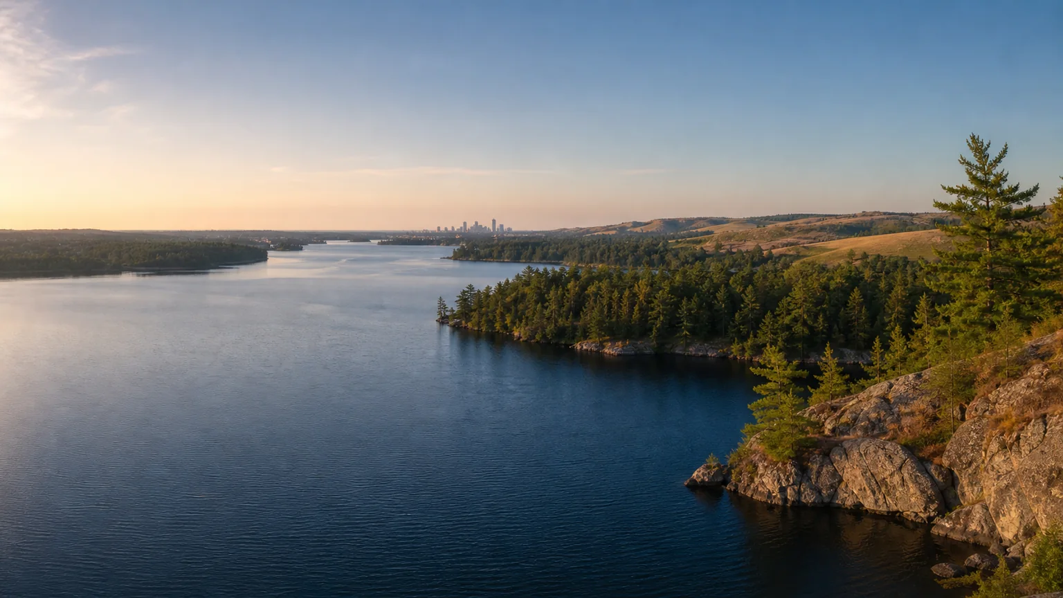
Illustrative panorama of Minnesota lake, forest, prairie and city landscapes.
A visual way in

Move across Minnesota’s five regions.

These scenes orient your search; they are illustrations, not navigation maps or current-condition views.

Lake map component

Find a lake, then keep its identity attached.

Begin in the on-site named-lake directory. A published profile keeps county, DNR identity, sources and observation dates together before you open an official map.

Browse named lake profiles
Open the official interactive map

The external tool loads only after you choose its link. Its site may receive your network and browser information.

Open official source (opens in a new tab)
River map component

Read the corridor before opening the map.

Start with the river hub’s text route, regions and planning notes. Official water-trail maps are secondary tools; changing levels and hazards still require a fresh check.

Explore river profiles
Open the official interactive map

The external tool loads only after you choose its link. Its site may receive your network and browser information.

Open official source (opens in a new tab)
Read the record

Four lake-data ideas in plain language.

A number becomes useful when you also know what was measured, where, how and when.

Depth maps

Contour lines describe measured or interpreted lake-bottom shape. They are not turn-by-turn navigation, and water levels or underwater hazards may differ from the mapped record.

Water clarity

Clarity describes how far light or a viewing disk can be seen, depending on the method. Weather, algae, sediment, season and location can change the reading.

Water quality

Water quality is not one score. Nutrients, algae, bacteria, contaminants, habitat and designated uses are evaluated with different methods and time periods.

Source dates

The observation date tells you when a sample or image was collected; an assessment date and a webpage update date mean different things. None should be read as a live condition.

Primary sources

Go deeper with the record’s owner.

Links were reviewed July 27, 2026. Each official system carries its own record dates, coverage, terms and update rhythm.

University of Minnesota

LakeBrowser

Explore satellite-derived lake clarity, chlorophyll and colored dissolved organic matter by observation period.

Freshness: Seasonal observations; check the date shown in the tool.

Open official source (opens in a new tab)
Minnesota Pollution Control Agency

Surface-water quality

Find monitoring, assessment and watershed context without treating an older assessment as a live condition.

Freshness: Assessment cycles and monitoring dates vary.

Open official source (opens in a new tab)
Minnesota Geospatial Commons

Geospatial data

Open versioned public datasets for lake basins, hydrography and other statewide map layers.

Freshness: Dataset-versioned; read each record’s update date.

Open official source (opens in a new tab)