Northwest · Northeast · Metro · Southeast
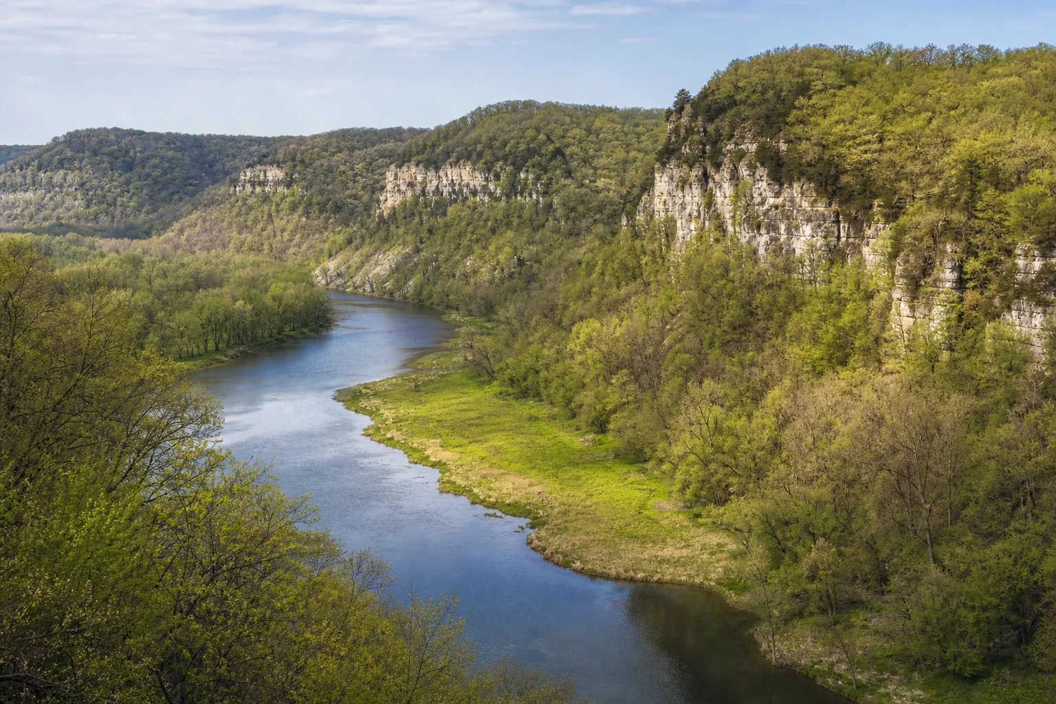
Mississippi River
Follow Minnesota’s great north-to-south river corridor from its lake-country headwaters toward cities, floodplain forests, and bluff country.
打开官方河流来源
Start with a river corridor, compare its regions, then open official water-trail maps and current conditions before choosing where to paddle, walk, fish, or watch the water move.
探索五条河流廊道This accessible diagram is an orientation tool, not a navigation map. Its text list gives the same five-region relationships without relying on color or shape.
Featured-set method: named corridors with dedicated Minnesota DNR State Water Trail pages, chosen to span the project’s five discovery regions; categorical selection, not a length ranking · reviewed July 27, 2026
These are equal-entry profiles, not a largest-or-longest list. Each official link opens a DNR route page with maps, access context, and river-specific details.
Follow Minnesota’s great north-to-south river corridor from its lake-country headwaters toward cities, floodplain forests, and bluff country.
打开官方河流来源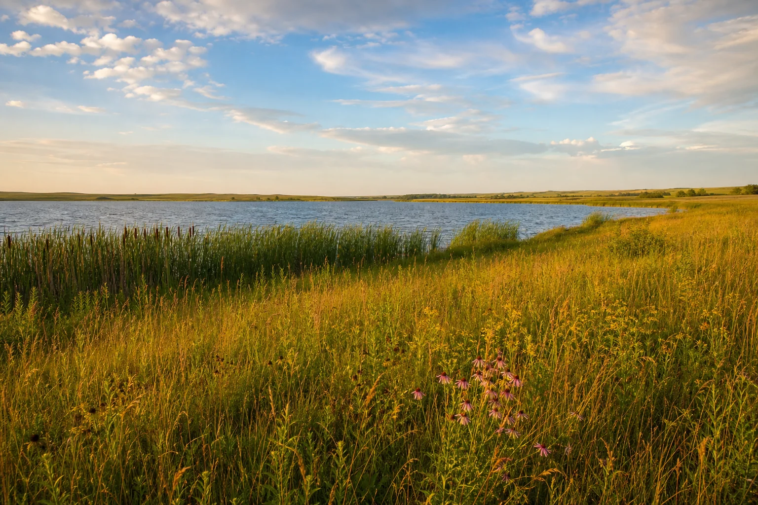
Trace a broad prairie river valley east toward its meeting with the Mississippi, with water-trail maps dividing the journey into practical segments.
打开官方河流来源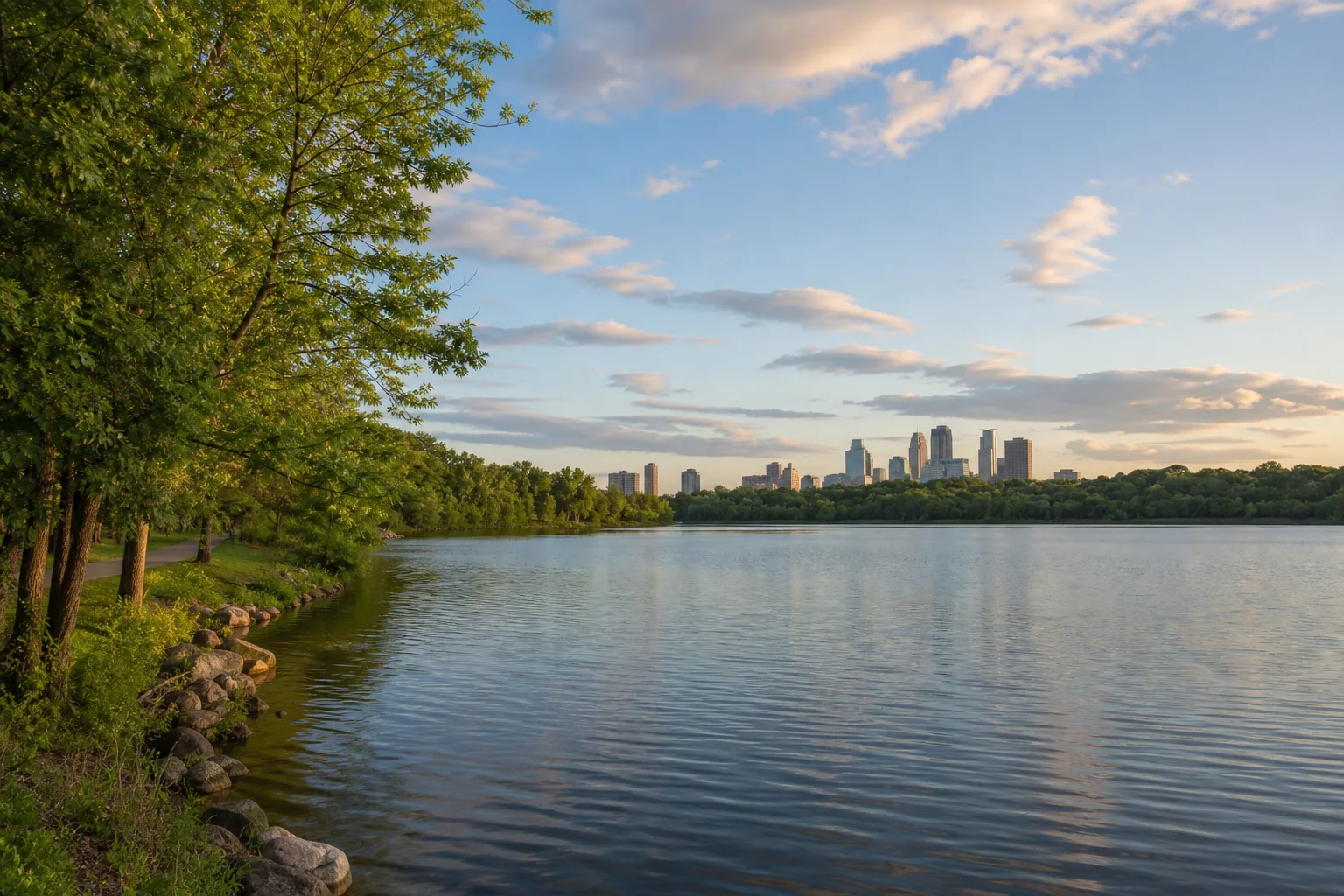
Explore a forested border river where islands, cliffs, towns, and changing current make careful section-by-section planning essential.
打开官方河流来源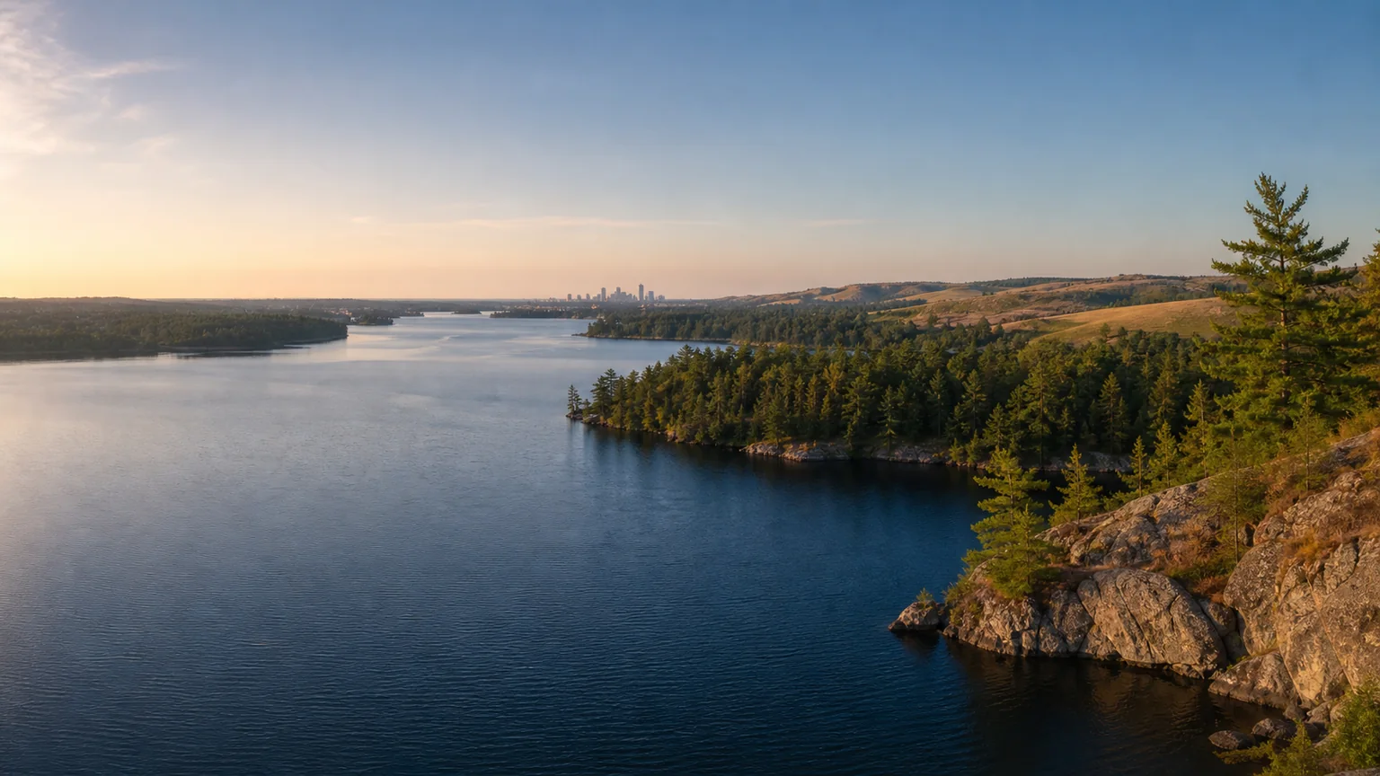
Meet a north-flowing prairie river shared with North Dakota, then use official maps and gauges to choose an appropriate access and section.
打开官方河流来源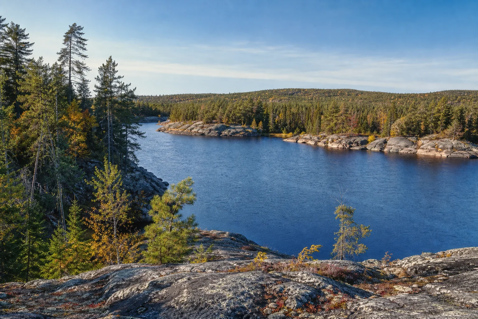
Discover an international border river connecting northern lakes and communities, with current conditions checked before any outing.
打开官方河流来源Use the DNR water-trail map to locate accesses, dams, campsites, rapids, hazards, and river miles. The map is planning support, not a sole navigational aid.
Open the official interactive mapRiver levels can change quickly with rain, dam flow, and other conditions. Read the latest gauge interpretation close to departure.
Check DNR river levelsMatch the route to the group, tell someone the plan, carry essential gear, and wear a U.S. Coast Guard-approved life jacket.
Read DNR safety and rulesA river carries the story of its whole drainage area. Explore MPCA watershed monitoring and restoration information, then connect back to lakes and communities upstream.
Explore MPCA watershed informationPlanning guidance: Minnesota DNR State Water Trails and MPCA watershed information · dynamic conditions must be rechecked · reviewed July 27, 2026
Move upstream into named lakes, compare the five regions, or shape a day around paddling, fishing, trails, and waterfront culture.