DNR lake ID 29011700
Fish Hook Lake
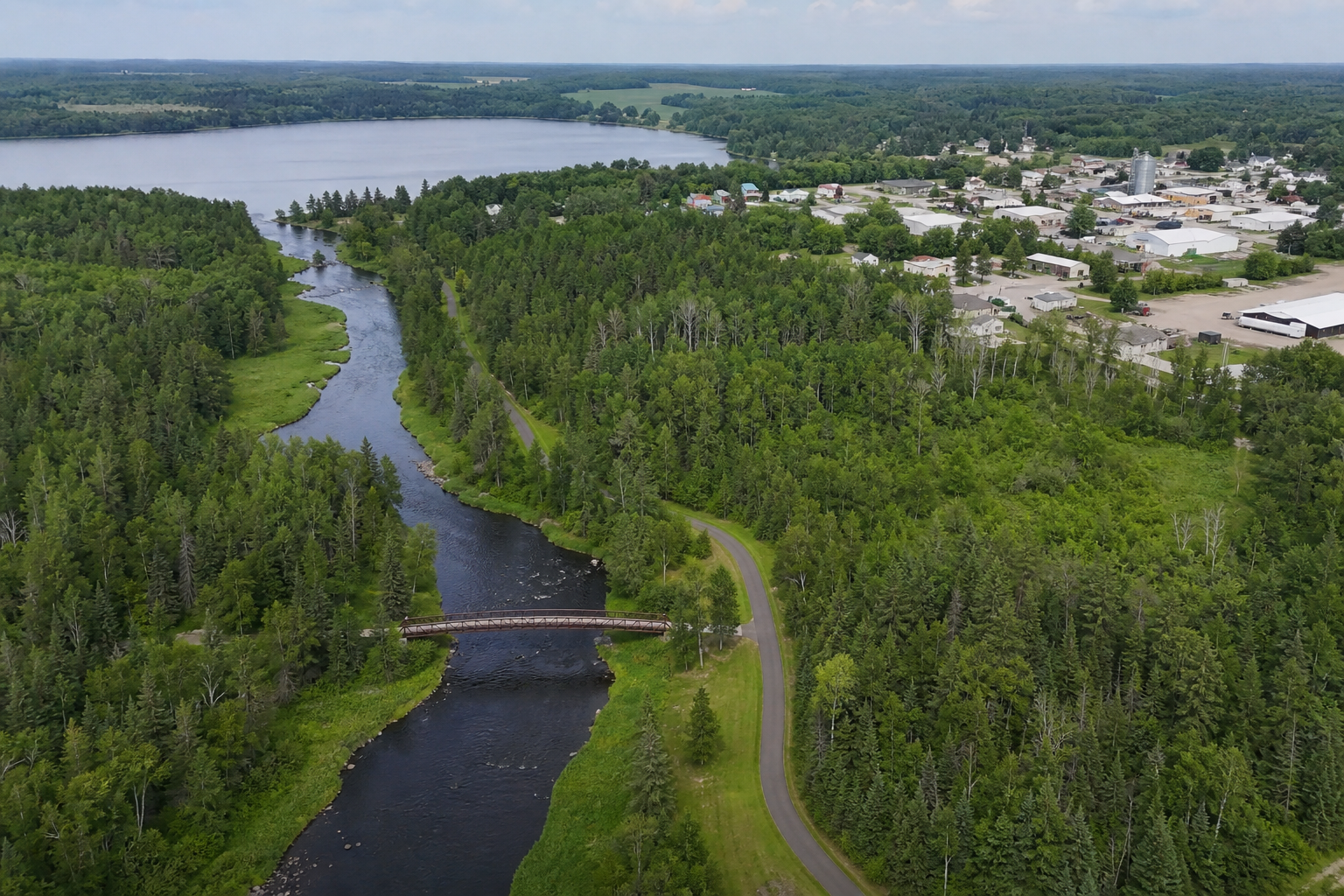
Fish Hook Lake and its river form Park Rapids’ closest lake-and-river orientation; the county map documents lake, river, pier and access facilities.
Continue to the lake directory
Northwest Minnesota · Park Rapids, forest lakes and the Heartland State Trail
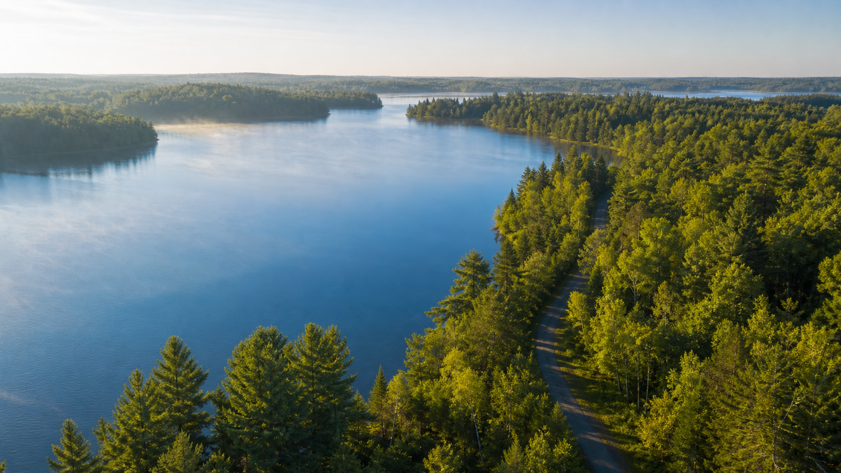
Hubbard County’s lake trips radiate from Park Rapids into pine-and-birch country: Fish Hook Lake and River at the city, Big Sand near Dorset, Belle Taine at Nevis and Potato Lake to the north. The Heartland State Trail ties Park Rapids, Dorset, Nevis and Akeley together, while the Mississippi headwaters at Lake Itasca anchor the county’s northwest. Start with an exact DNR lake identity, then confirm access and conditions.
Accessible orientation
Park Rapids is the county seat and central service hub. The Heartland State Trail runs east through Dorset, Nevis and Akeley; Lake George and Lake Itasca orient the north and northwest. Use the official county access map and DNR lake number before choosing a launch.
Canonical named-lake discovery
These records come from the official Hubbard County Public Waters Inventory, county shoreland records and the versioned county catalog. Unnamed waters are excluded. Use official records for the newest identity and classification status.
DNR lake ID 29011700
Fish Hook Lake and its river form Park Rapids’ closest lake-and-river orientation; the county map documents lake, river, pier and access facilities.
Continue to the lake directoryDNR lake ID 29046600
Big Sand Lake is a separately numbered lake near Dorset; DNR confirmed zebra mussels there in November 2025, making clean-drain-dispose steps especially important.
Continue to the lake directoryDNR lake ID 29024300
Potato Lake is a named Hubbard County basin north of Park Rapids with two accesses shown on the official county access map.
Continue to the lake directoryDNR lake ID 29014600
Belle Taine is the named lake beside Nevis; the official access map shows DNR and city facilities, and DNR identifies it by lake number 29-146.
Continue to the lake directory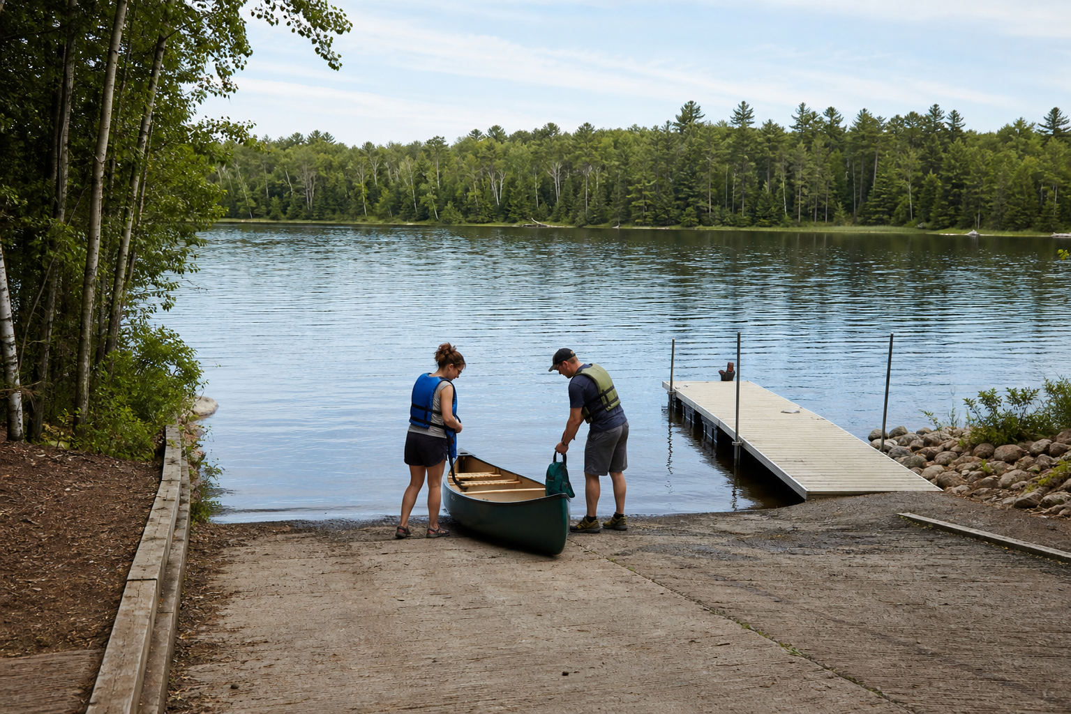
Fishing, public accesses and forest trails
Access status, reservations, water conditions, fishing rules and trail conditions change. Confirm them with the responsible agency before travel.
Hubbard County lists Heartland Park beside the Fish Hook River in Park Rapids with a public access, fishing pier, beach, restrooms and the start of the Heartland Trail. The county also identifies beaches at Stony Lake, Garfield Lake and Paine Lake.
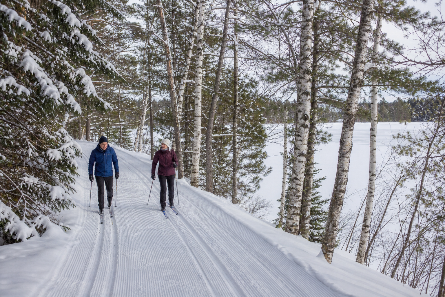
Check county parks and recreationThe DNR’s 49-mile multiple-use trail links Park Rapids and Cass Lake. Its paved Park Rapids–Walker segment passes Dorset, Nevis and Akeley, with a parallel natural-surface trail for horseback riding, hiking and mountain biking.
Check the official trail pageThe Mississippi River State Water Trail begins at Lake Itasca. For individual county lakes, LakeFinder brings fisheries, access, water-quality and consumption records together by exact lake ID.
Open official LakeFinder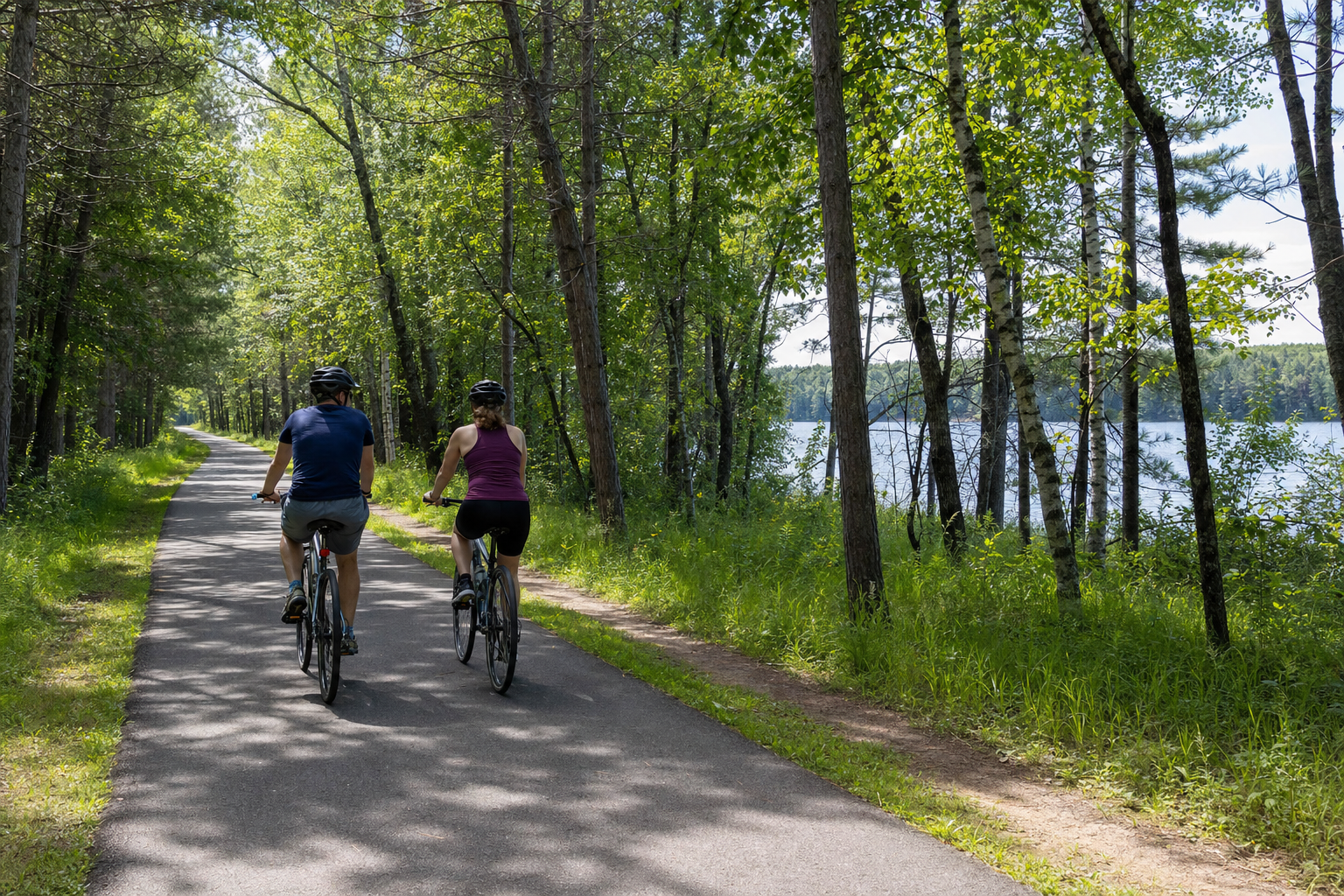
Use LakeFinder and the official county access map for the exact basin. Then check current fishing regulations, aquatic-invasive-species notices and Minnesota fish-consumption guidance. A familiar lake name is not enough.
Communities and seasons
Park Rapids is the county seat and central hub. Dorset, Nevis and Akeley line the Heartland Trail eastward; Laporte anchors the northeast, Lake George the north and Lake Itasca the northwest. Event dates change, so use only a current organizer listing before traveling.