DNR lake ID 35000300
Lake Bronson
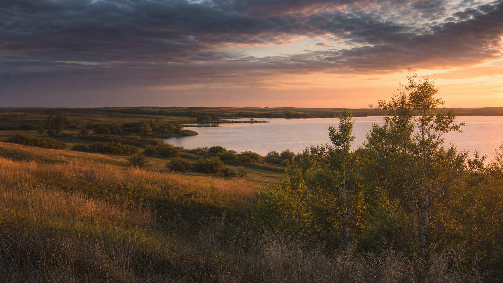
The South Branch of Two Rivers was dammed in the 1930s to form Lake Bronson. Dam rehabilitation currently closes lake access and fishing; check the project page before planning.
Continue to the lake directory
Northwest Minnesota · Red River border, Two Rivers and prairie–aspen parklands
At Minnesota’s far northwest corner, Kittson County is oriented by rivers and open parkland more than by a dense lake chain. The Red River forms the western edge, branches of Two Rivers cross the county, and Lake Bronson sits in a rare transition between tallgrass prairie and aspen parkland. Begin with the exact water identity—and, for Lake Bronson, the current dam-project closure—before choosing a day outside.
Accessible orientation
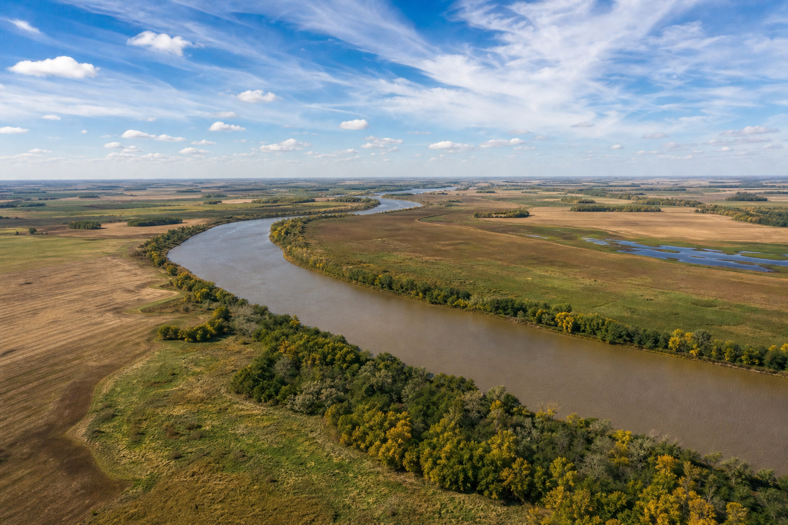
The Red River of the North marks Kittson County’s western edge beside North Dakota. Hallock, the county seat, is inland along the Middle Branch of Two Rivers. Lake Bronson State Park lies northeast of Hallock near the city of Lake Bronson; Upper and Lower Twin lakes lie toward Karlstad in the southeast. The international boundary with Manitoba closes the county on the north.
Canonical named-water discovery
These versioned records use names and numbers from the DNR county Public Waters Inventory. Unnamed records are excluded. Because the original PWI is a historical reference, confirm the newest status in official DNR mapping and LakeFinder before travel.
DNR lake ID 35000300
The South Branch of Two Rivers was dammed in the 1930s to form Lake Bronson. Dam rehabilitation currently closes lake access and fishing; check the project page before planning.
Continue to the lake directoryDNR lake ID 35000100
Upper Twin Lake is a named public water in southeastern Kittson County. The DNR county access map identifies a carry-in access, not a trailer launch.
Continue to the lake directoryDNR lake ID 35000200
Lower Twin Lake is a separate public-water identity immediately south of Upper Twin Lake. Keep its DNR number distinct when checking records.
Continue to the lake directoryDNR lake ID 35000400
Scull Lake is the spelling in the county Public Waters Inventory. Nearby Skull Lake Impoundment is a separate numbered public-water record and is not merged here.
Continue to the lake directory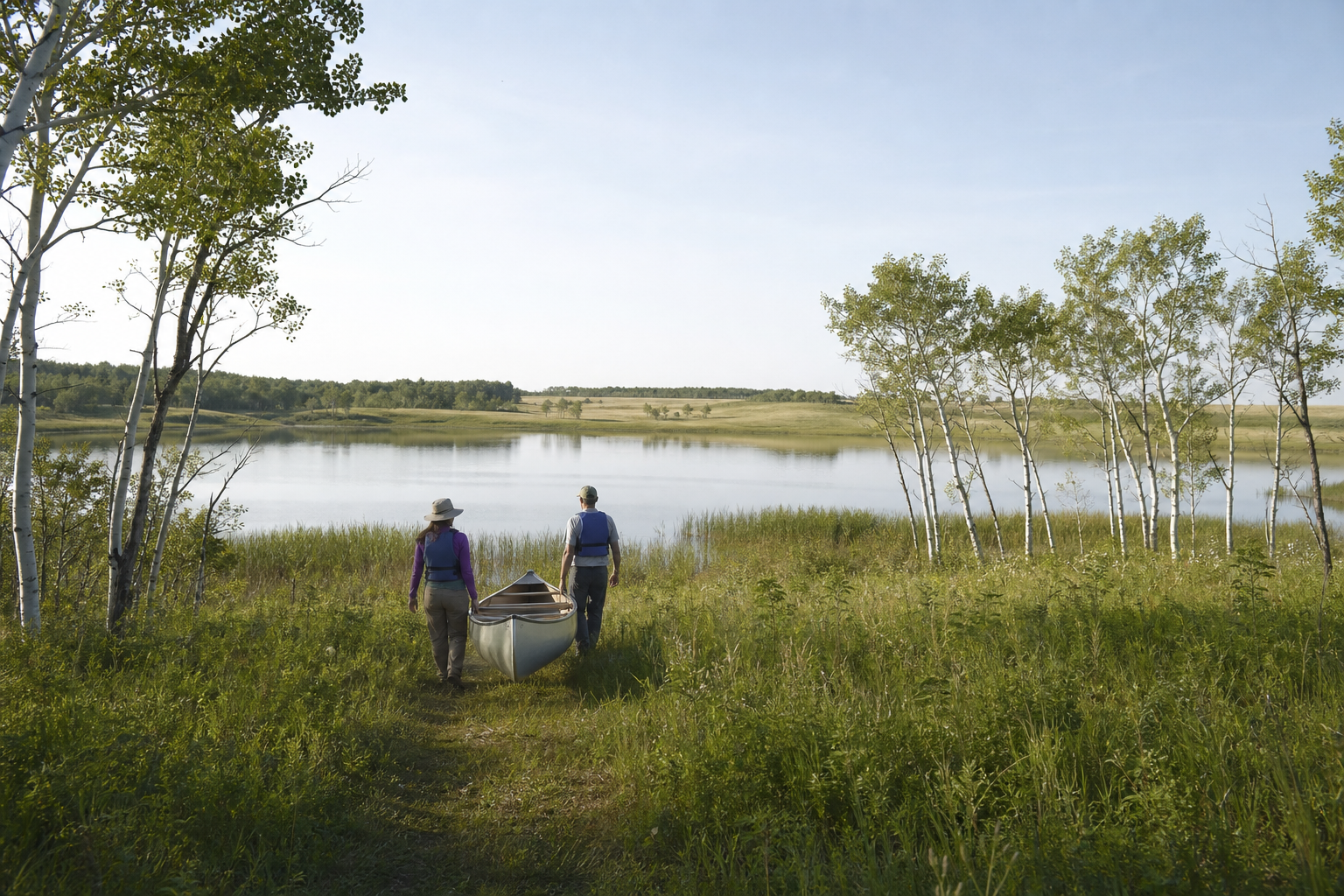
Current Lake Bronson status
DNR’s March 24, 2025 notice says Lake Bronson State Park remains open, but access to the lake is prohibited and fishing is not allowed during the dam project. This time-sensitive status must be rechecked before every visit.
The project replaces the concrete spillway and associated bridge within a WPA historic district. Do not use older access descriptions as proof that boating, swimming or fishing is available now.
Check the official project pageDNR confirmed zebra mussels in Lake Bronson in March 2025. When water access eventually resumes, follow current aquatic-invasive-species requirements and clean, drain and dispose.
Read the DNR noticeThe county access map lists Red River trailer accesses and Upper Twin carry-in access. Access, seasons and water conditions change; confirm the exact site and current regulations first.
Open official LakeFinder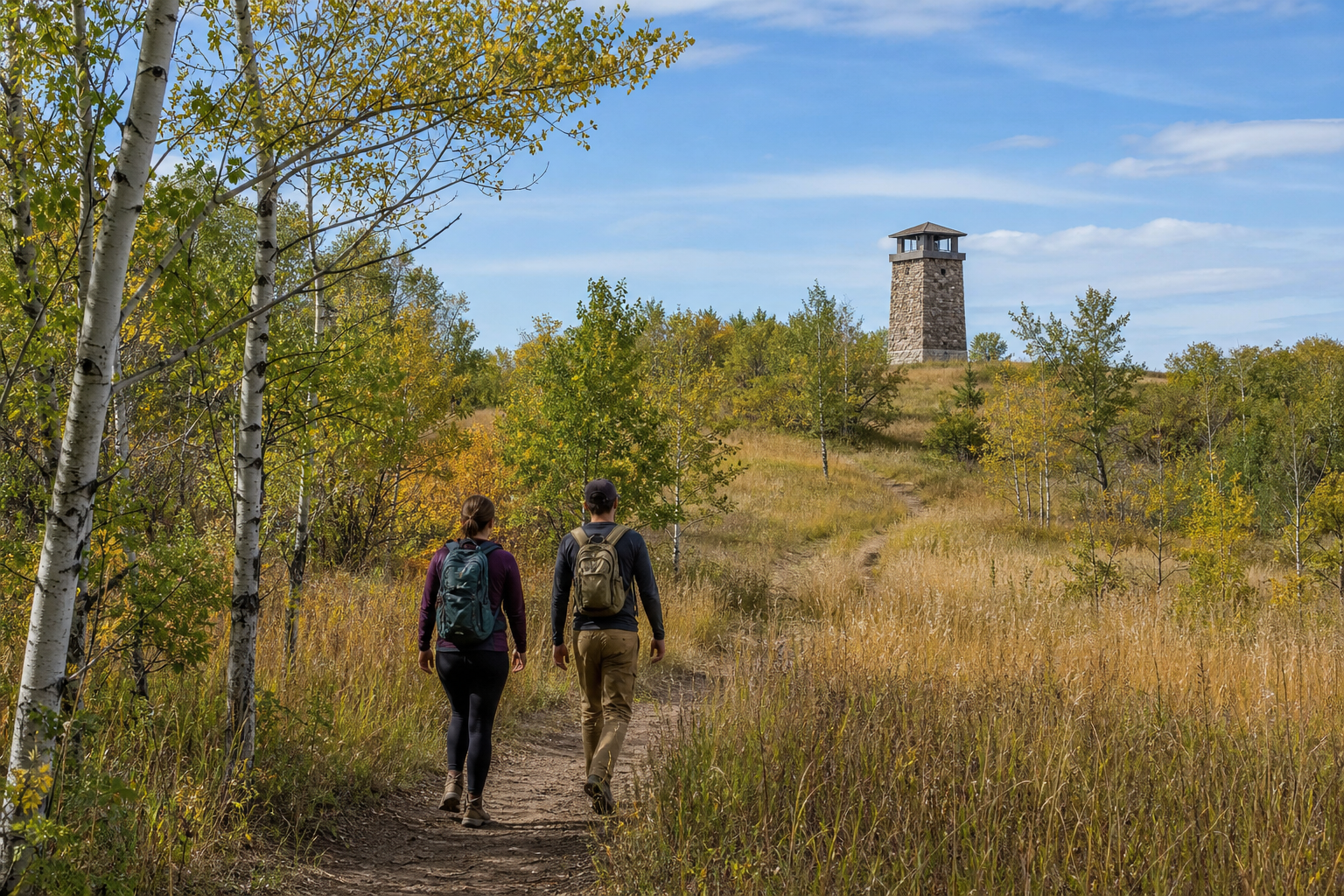
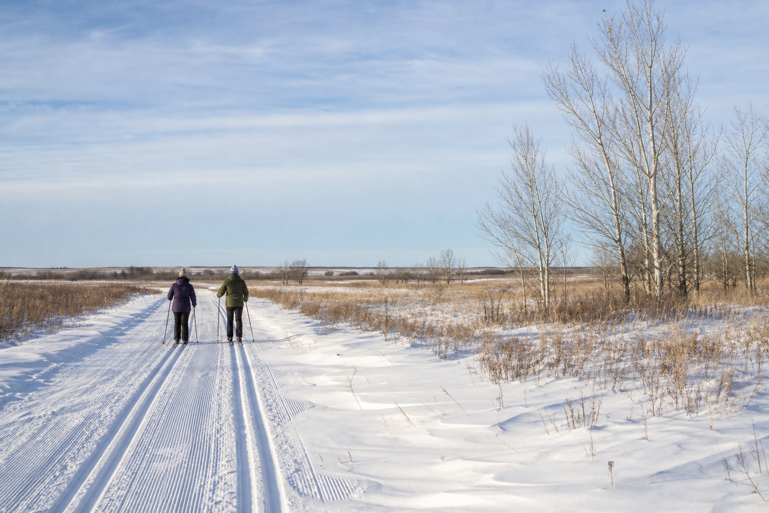
Lake Bronson State Park’s official map documents hiking, interpretive, horseback and snowmobile routes plus campgrounds and historic sites. The park also represents the transition between prairie and forest. Check the live park page and map before choosing a route or campsite.
Communities and seasons
Hallock, Karlstad, Lake Bronson, Lancaster and Kennedy provide geographic bearings across the county. Lake Bronson Parkland Scientific and Natural Area and Norway Dunes Preserve protect examples of the county’s prairie–aspen and dry prairie–savanna landscapes. Events change, so use a current organizer or agency listing rather than a carried-forward date.