DNR lake ID 54001300
Home Lake
Home Lake is public-water basin 54-13 in Home Lake Township. The official inventory establishes its name and identity, not a public launch or current recreation condition.
Continue to the lake directory
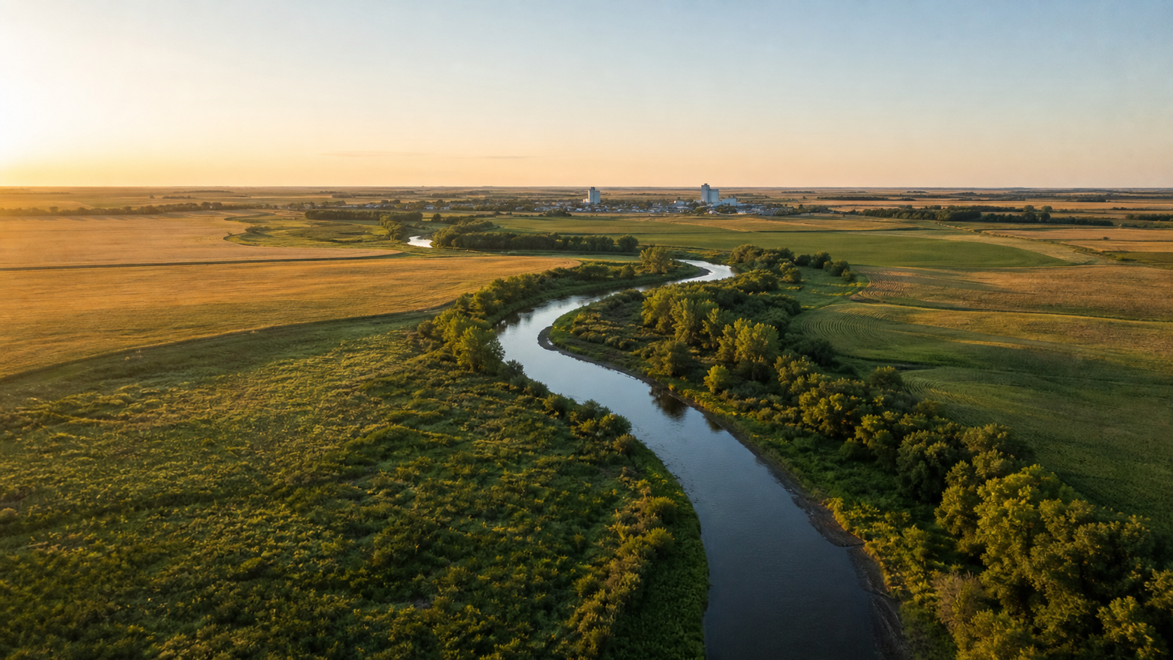
Northwest Minnesota · Wild Rice crossings, prairie wetlands and Red River horizons
Norman County sits where the Wild Rice River crosses the level Lake Agassiz plain toward the Red River of the North. Ada, Twin Valley, Hendrum, Halstad and Shelly provide practical bearings across a landscape of cultivated fields, river corridors, marshes and a small set of named basins. This is prairie water country: plan around exact public-water identities, current river conditions and verified legal access.
Accessible orientation
Twin Valley anchors the eastern Wild Rice River corridor; Ada lies near the county center; Hendrum and Halstad sit near the western Red River boundary; and Shelly provides a northern bearing near the Marsh River system. The county inventory also identifies Home Lake and prairie wetland basins. Official maps establish water identity and boundaries, but they do not grant access across private or restricted land.
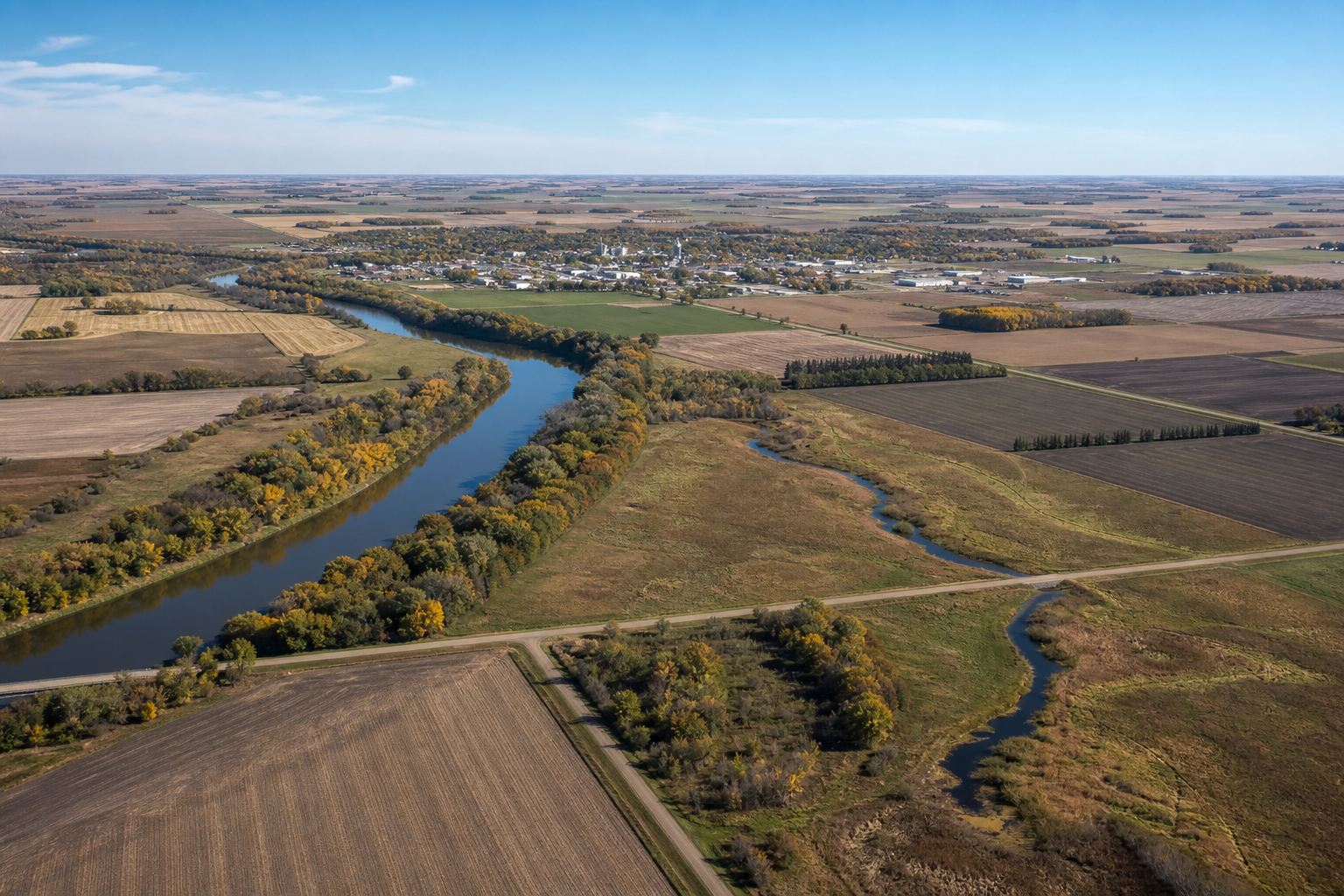
Canonical named-water discovery
These records use names and numbers from the Minnesota DNR county Public Waters Inventory. Unnamed records are excluded. Aaskgaard Lake and Love Lake are classified in the inventory’s wetland section; no fishing, launch or navigability claim is inferred. Confirm current GIS, boundaries, access and rules before travel.
DNR lake ID 54001300
Home Lake is public-water basin 54-13 in Home Lake Township. The official inventory establishes its name and identity, not a public launch or current recreation condition.
Continue to the lake directoryDNR lake ID 54002400
Twin Valley is public-water basin 54-24 in the eastern part of the county. Use the full DNR number to distinguish the basin from the nearby city.
Continue to the lake directoryDNR lake ID 54001400
Aaskgaard Lake is listed as wetland basin 54-14. Its lake name does not imply navigability, fishing access or permission to cross surrounding land.
Continue to the lake directoryDNR lake ID 54001700
Love Lake is listed as wetland basin 54-17 along the county’s western tier. Confirm present boundaries and access in maintained official resources.
Continue to the lake directory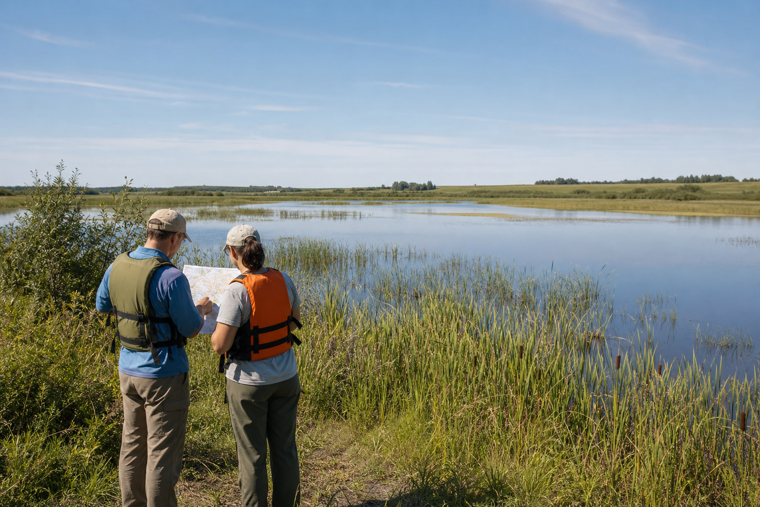
Fishing and recreation pathways
LakeFinder and maintained DNR maps are starting points for present water information, while access listings and land-manager pages answer different questions. USGS monitors the Wild Rice River at Twin Valley, and its recent basin study documents a river system shaped by sediment movement, tributaries, wetlands and the flat Red River Valley.
Search by exact DNR number, then check current fishing regulations, any special regulation and the authority governing the water or access. Conditions and rules can change.
Check Minnesota fishing regulationsUSGS station 05062500 provides observations for the Wild Rice River at Twin Valley. A gauge is evidence about one monitored location, not permission to launch or proof that an entire route is safe.
Check the Twin Valley river gaugeThe county inventory identifies the Red River of the North, Wild Rice River, Marsh River, Sand Hill River, Spring Creek, Mashaug Creek and Coon Creek. Verify legal access, water levels, hazards and a take-out before every river outing.
Explore Minnesota rivers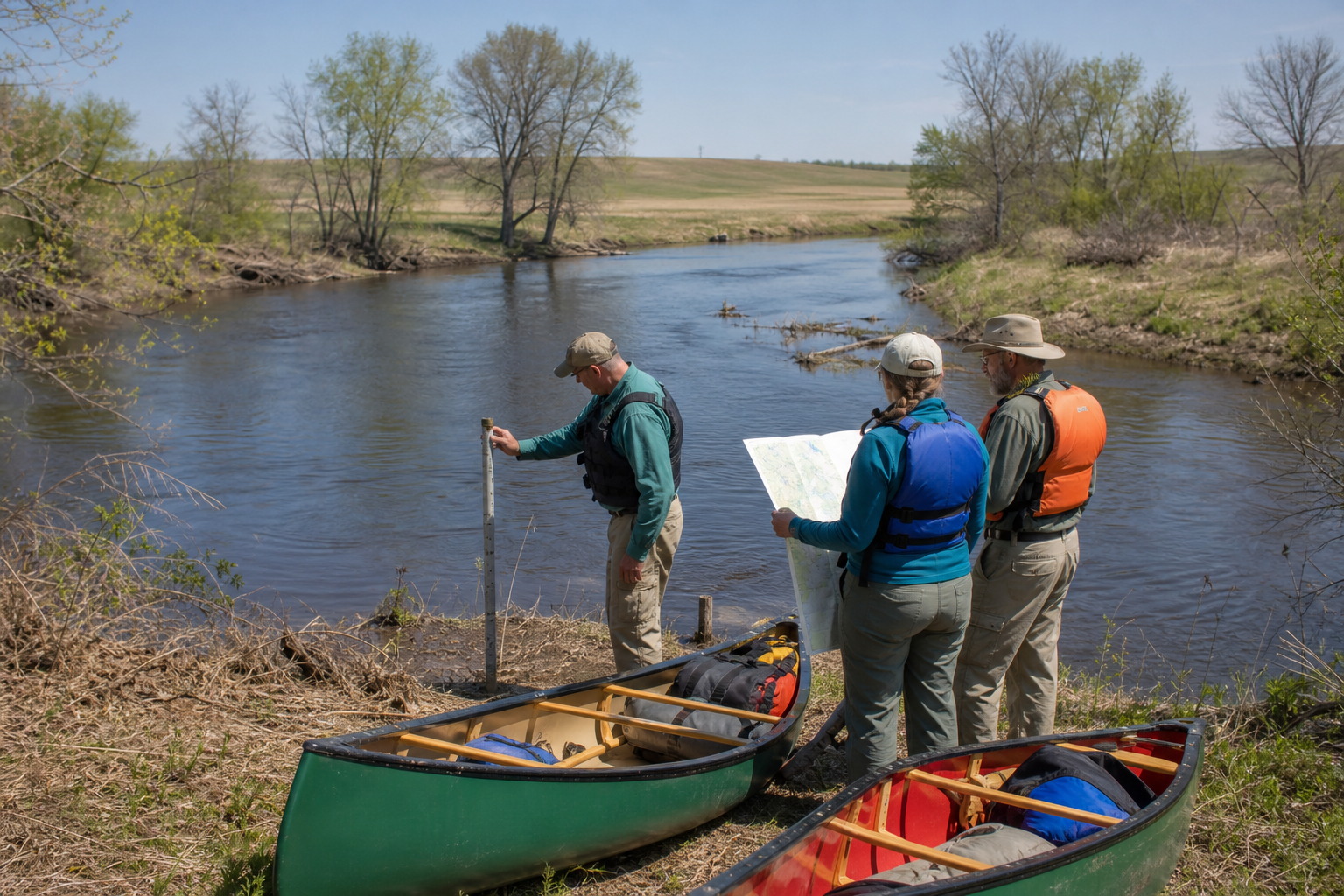
The Wild Rice River flows through Twin Valley and Ada toward Hendrum before meeting the Red River. Its South Branch and the Marsh River system complicate the basin. Confirm a legal put-in and take-out, gauge conditions, obstructions and private-land boundaries before any paddle.
Read the current USGS basin studyCommunities and seasons
Ada, Twin Valley, Hendrum, Halstad and Shelly are verified city bearings. The current DNR Red River water-trail map identifies a trailer access near Halstad and Hendrum Community Park upstream on the Wild Rice, with electric and tent sites and basic visitor facilities; call the listed local contacts for current conditions before relying on either place. No recurring event is presented as permanent content.
Check the official Red River water-trail map