DNR lake ID 56024200
Otter Tail Lake
Otter Tail Lake is public-water basin 56-242 and part of the Otter Tail River water trail. Match the full DNR number before checking accesses, conditions and regulations.
Continue to the lake directory
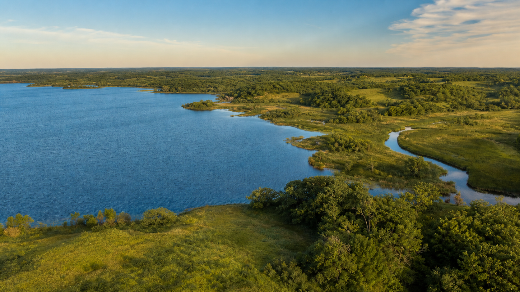
Northwest Minnesota · glacial lakes, the Otter Tail River and rolling moraine
Otter Tail County is organized by water: the Otter Tail River threads through a dense glacial-lake landscape, Fergus Falls anchors the west, Perham the east, Pelican Rapids the north and Battle Lake the central lake corridor. Use exact DNR identities and maintained access information to turn that abundance into a responsible trip.
Accessible orientation
Fergus Falls is the western service center and northwest endpoint of the Central Lakes State Trail. Battle Lake and Glendalough State Park orient the central lake district; Perham anchors the eastern lake district; and Pelican Rapids marks the northwestern approach. Official county GIS supplies lake classification and DNR identifiers, while separate maintained sources must confirm access and present conditions.
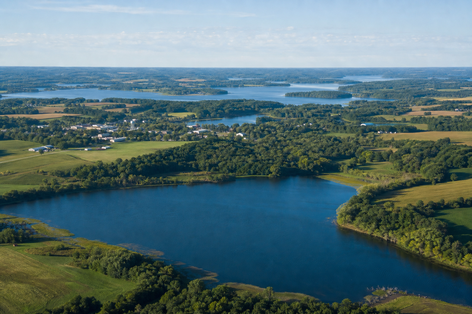
Canonical named-lake discovery
These records use Minnesota DNR public-water names and numbers. Unnamed records are excluded. The list is a curated starting set, not a claim to show every named basin; consult county GIS and LakeFinder for the maintained catalog, boundaries, fisheries information and access details.
DNR lake ID 56024200
Otter Tail Lake is public-water basin 56-242 and part of the Otter Tail River water trail. Match the full DNR number before checking accesses, conditions and regulations.
Continue to the lake directoryDNR lake ID 56023900
West Battle Lake is public-water basin 56-239 beside the city of Battle Lake. Its identity does not by itself establish a launch, parking space or current condition.
Continue to the lake directoryDNR lake ID 56078600
Pelican Lake is public-water basin 56-786 near Pelican Rapids. Use the full number because repeated lake names are common in Minnesota.
Continue to the lake directoryDNR lake ID 56019300
Annie Battle Lake is public-water basin 56-193 inside Glendalough State Park. Park rules identify it as a Heritage Fishery with no motors and special fishing regulations.
Continue to the lake directory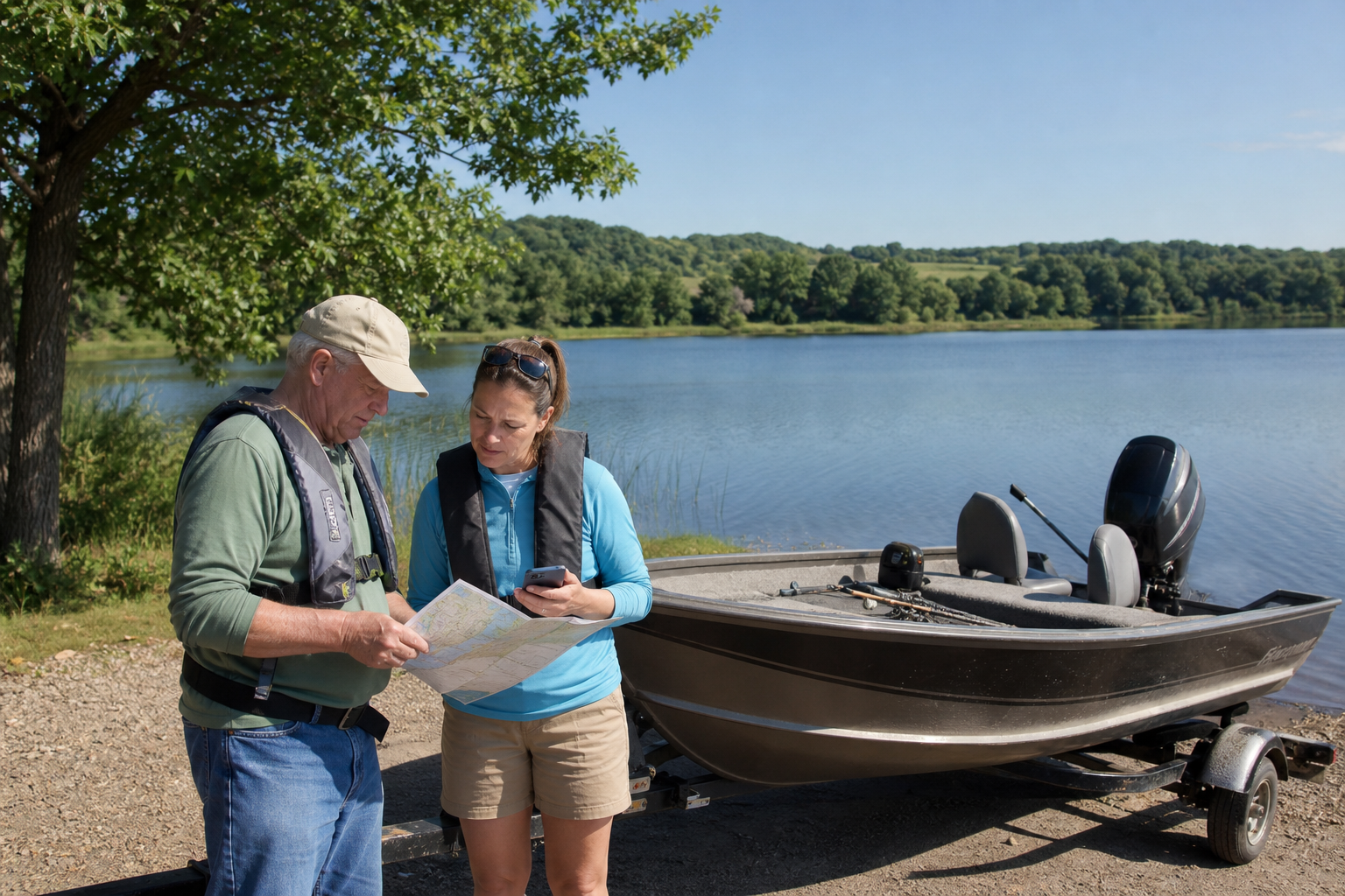
Fishing and recreation pathways
LakeFinder supports lake and fisheries research; the county’s AIS access list identifies inspected public-access locations; park and trail pages describe managed facilities. None substitutes for current regulations, weather, water levels or an on-site closure notice.
Search by exact DNR number, then check current fishing regulations, any special regulation and the authority governing the water or access. Conditions and rules can change.
Check Minnesota fishing regulationsOtter Tail County publishes an AIS public-access list with lake names, addresses and full DNR access IDs. Recheck the maintained list and on-site signs; an inventory entry does not guarantee space, operability or suitability for every craft.
Check the county access listThe official water-trail map shows the river connecting lakes, accesses, portages and hazards across the county. Treat map distances as orientation and verify flows, obstructions, legal access and a take-out before paddling.
Explore Minnesota rivers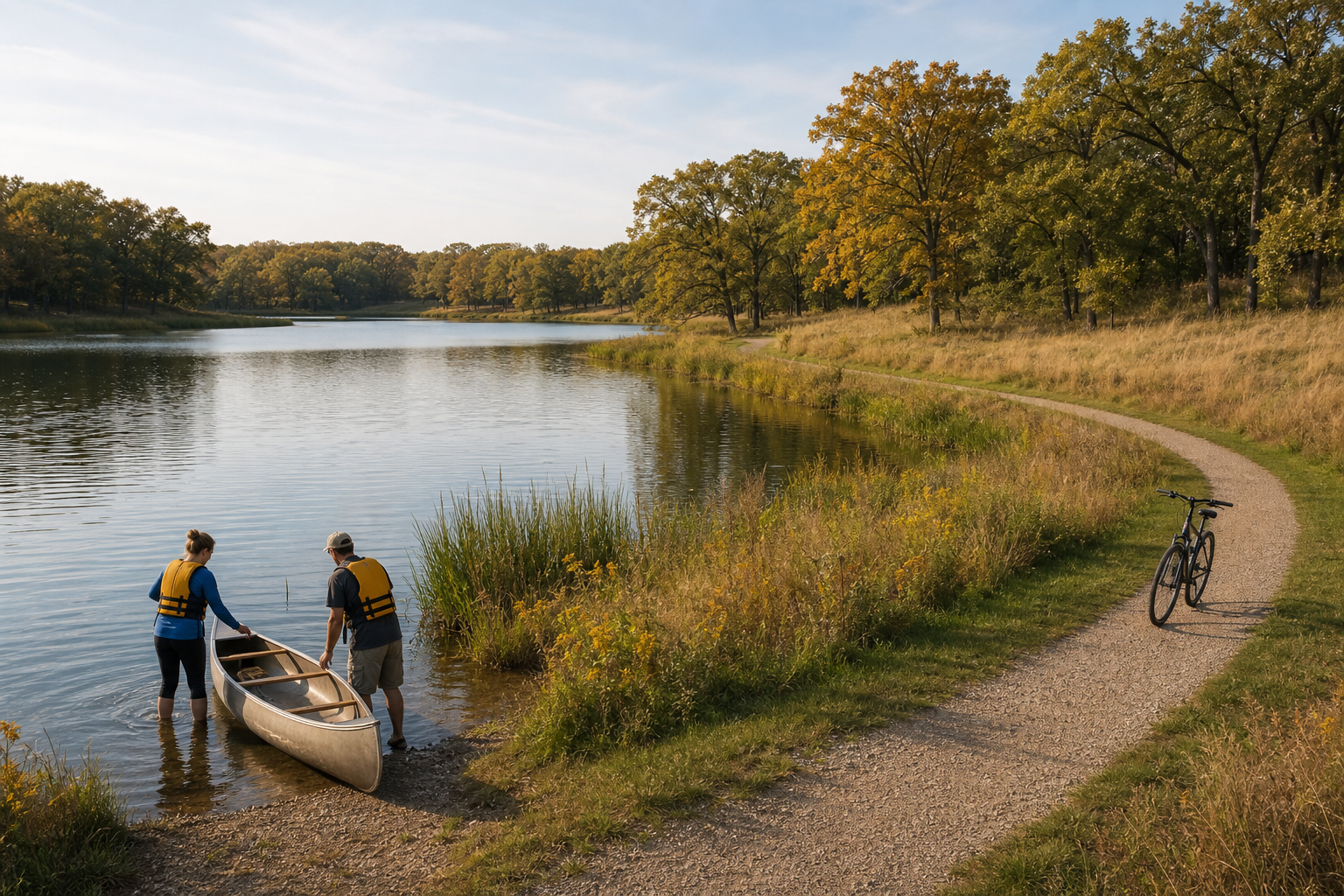
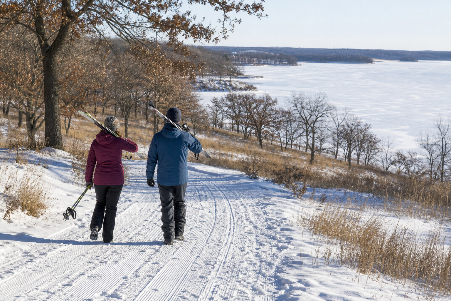
Glendalough State Park centers on Annie Battle Lake and documents hiking, biking, cart-in, canoe-in and group camping options. Annie Battle is a Heritage Fishery where motors are prohibited and special fishing regulations apply; consult the current park map and notices before arrival.
Plan with the official park pageCommunities and seasons
Fergus Falls, Battle Lake, Perham and Pelican Rapids are verified community bearings. The paved Central Lakes State Trail begins in Fergus Falls and continues southeast toward Osakis through lakes, wetlands, prairie remnants and towns. Glendalough provides managed park camping near Battle Lake. Consult maintained pages for reservations, closures and seasonal services; no recurring event is presented as permanent content.
Check the Central Lakes State Trail