DNR lake ID 60002700
Cross Lake
The official county access sheet maps a county-administered earth ramp and fishing pier at Cross Lake. Confirm the facility and water level before relying on either.

Northwest Minnesota · eastern lakes, prairie wetlands and Red River Valley
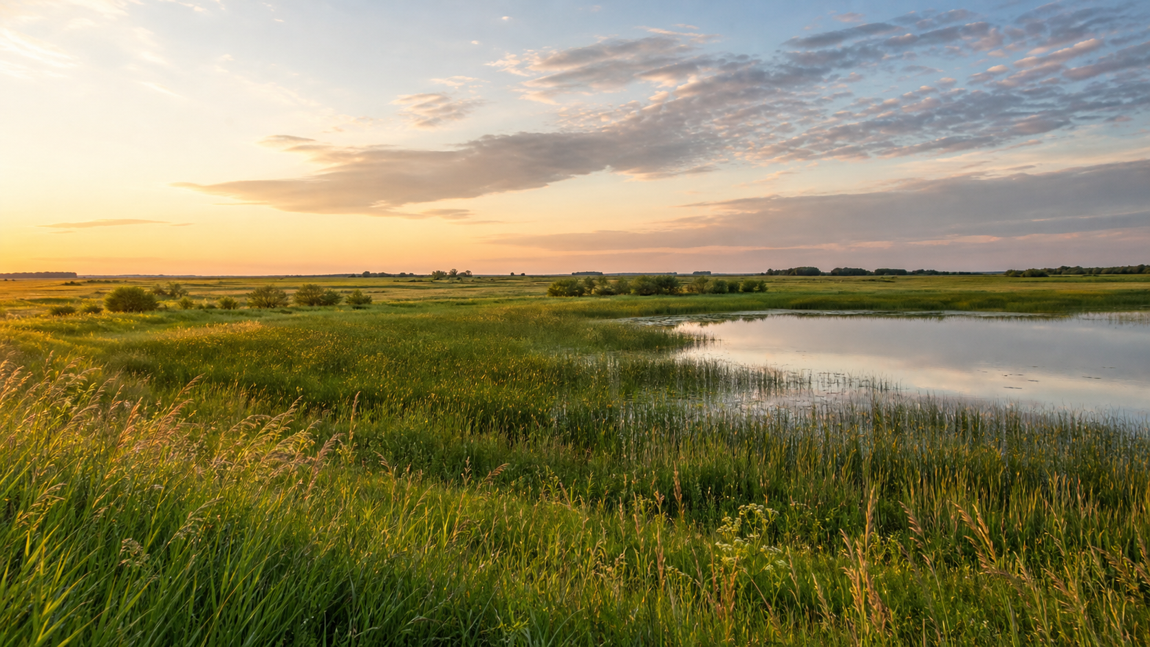
Polk County changes character as you travel west. Named lakes and the restored prairie-wetland landscape of Glacial Ridge shape the east; the Red Lake River passes Crookston before the county reaches the Red River at East Grand Forks. Use the exact DNR water identities here to choose a lake, then verify access, rules and conditions before setting out.
Accessible orientation
Fosston, Erskine, McIntosh and Mentor are useful eastern bearings near the county’s lake-and-wetland landscape. Crookston is the county seat on the Red Lake River. East Grand Forks sits at the western edge on the Red River of the North. The maintained MnDOT county map is the best starting point for municipal and road orientation.
Canonical named-lake discovery
These four lakes appear by name and number in the DNR final public-waters inventory and on the maintained public-access map. They are discovery starting points, not a claim that every mapped facility is currently usable. Unnamed waters are excluded from this guide.
DNR lake ID 60002700
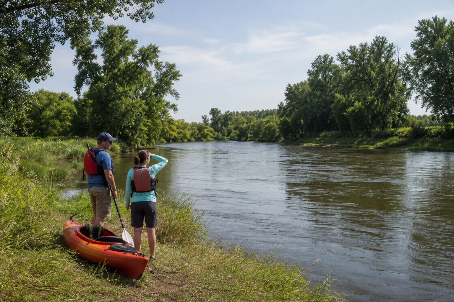
The official county access sheet maps a county-administered earth ramp and fishing pier at Cross Lake. Confirm the facility and water level before relying on either.
DNR lake ID 60020200
Sarah Lake is a named Polk County public water with a DNR-administered concrete access shown on the county access sheet. Search by full ID for current lake-specific information.
DNR lake ID 60021700
Union Lake keeps one canonical identity even though the access sheet distinguishes east and west facilities. Treat those as access references, not separate lakes.
DNR lake ID 60001500
Whitefish Lake appears in the county inventory and with a DNR concrete access on the county sheet. The exact ID prevents confusion with other Minnesota lakes sharing its name.
Related cross-county water: Goose Lake (57000100) touches Polk County but keeps its canonical public identity under Pennington County; this page does not duplicate it.
Fishing and recreation pathways
LakeFinder supplies current water-specific surveys, maps, regulations and notices. Glacial Ridge National Wildlife Refuge, about ten miles east of Crookston and six miles west of Mentor, provides a separate land-based prairie-and-wetland experience with limited visitor facilities.
Open LakeFinder with the full lake number, then review current regulations, surveys, consumption guidance, access and notices. A species shown on an access sheet is not a promise of fishing success.
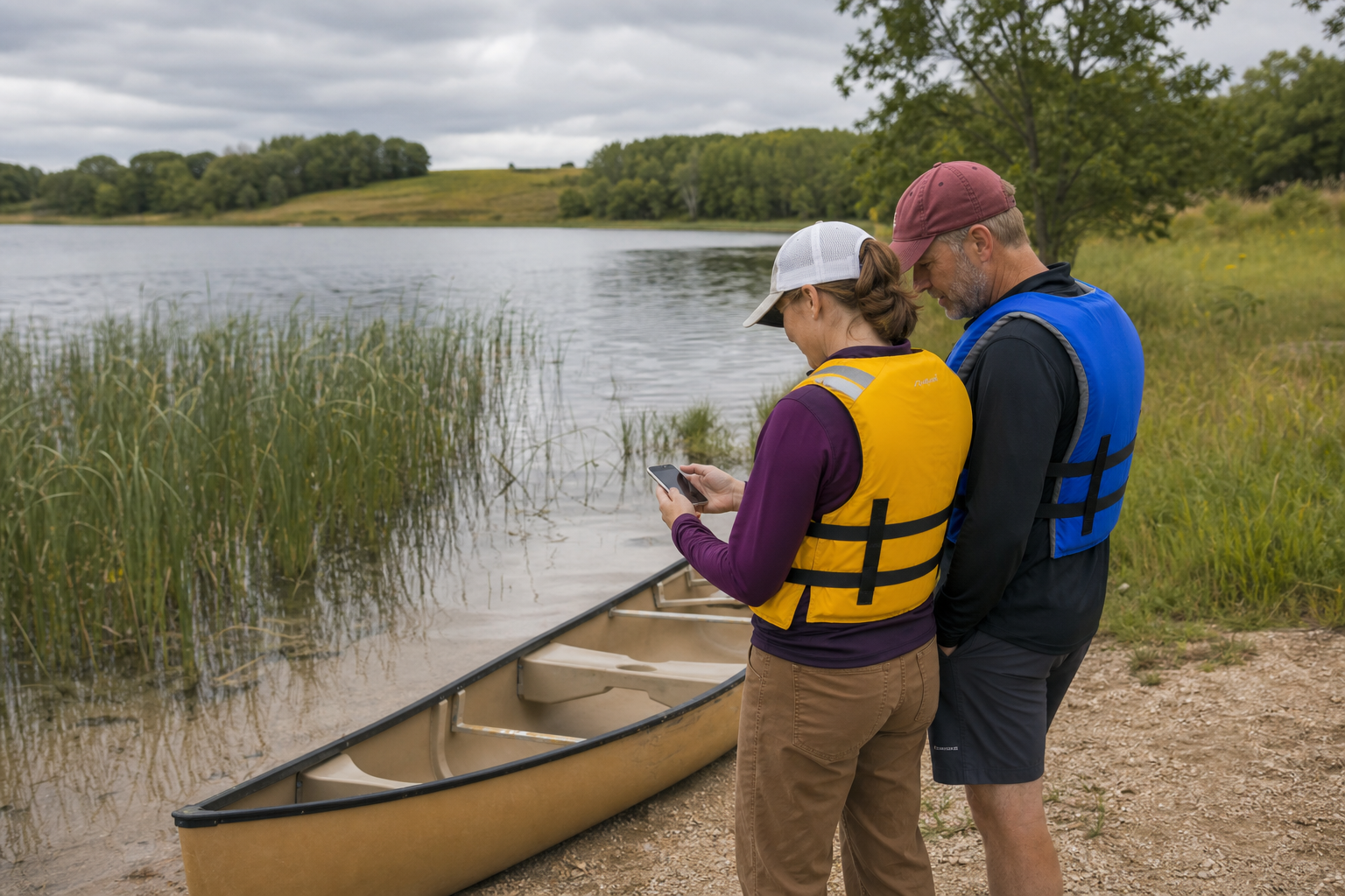
Open DNR LakeFinderThe county access sheet records ramp type and administrator. Recheck the specific facility, water depth, parking, posted rules and aquatic-invasive-species steps before arrival.
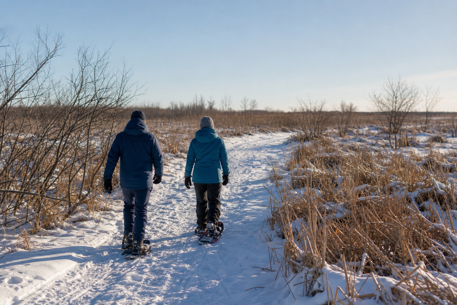
Prepare for fishingThe refuge offers wildlife viewing, walking, photography, cross-country skiing and snowshoeing, but reports few visitor facilities and no restrooms. Bring water, weather protection and the official refuge map.
Read the official refuge guide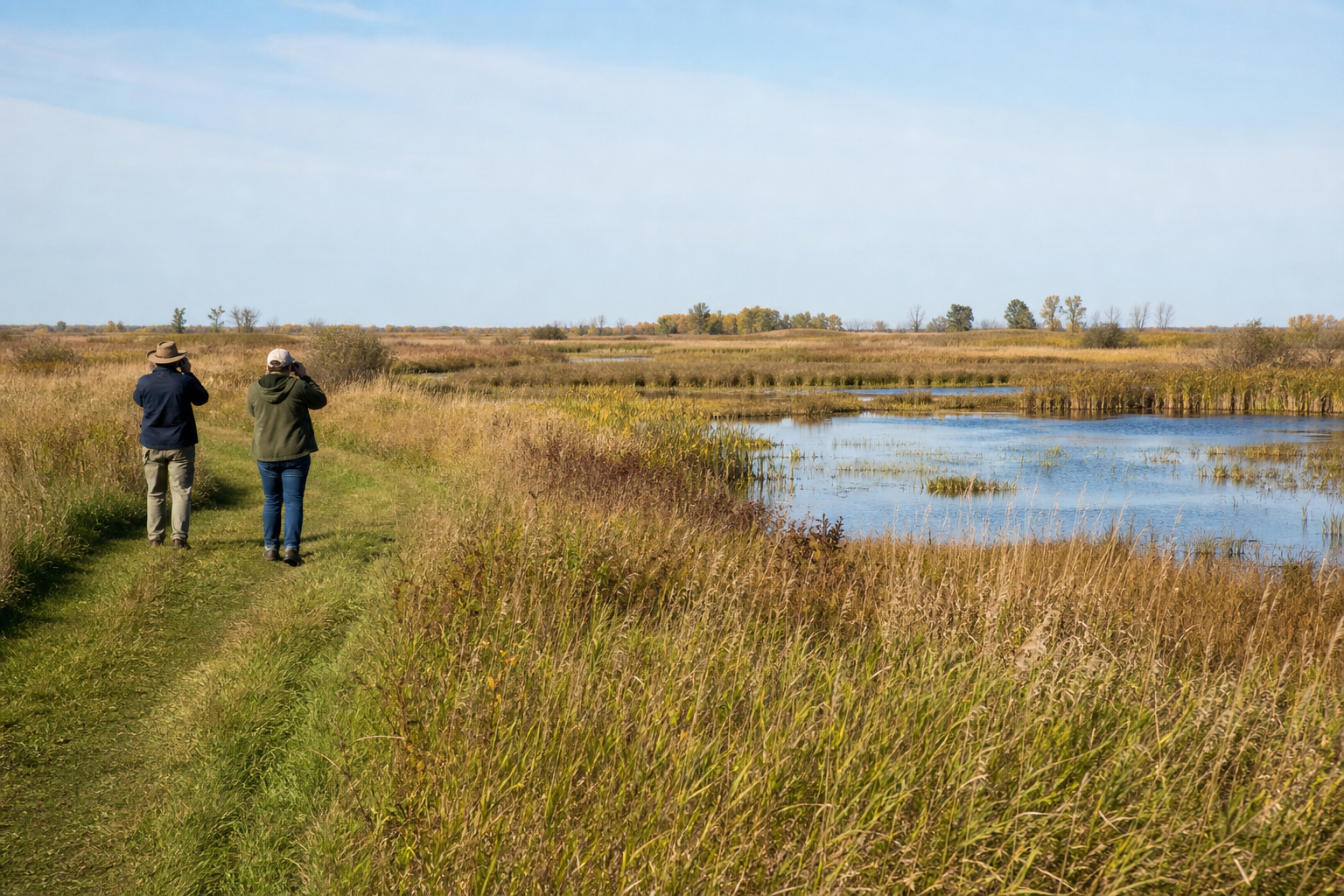
Crookston, East Grand Forks, Fosston, Erskine, McIntosh and Mentor are verified municipal bearings on official MnDOT mapping. This guide does not install a campground, festival or recurring event without a maintained official record; use the Events path for dated listings.
Four-season planning