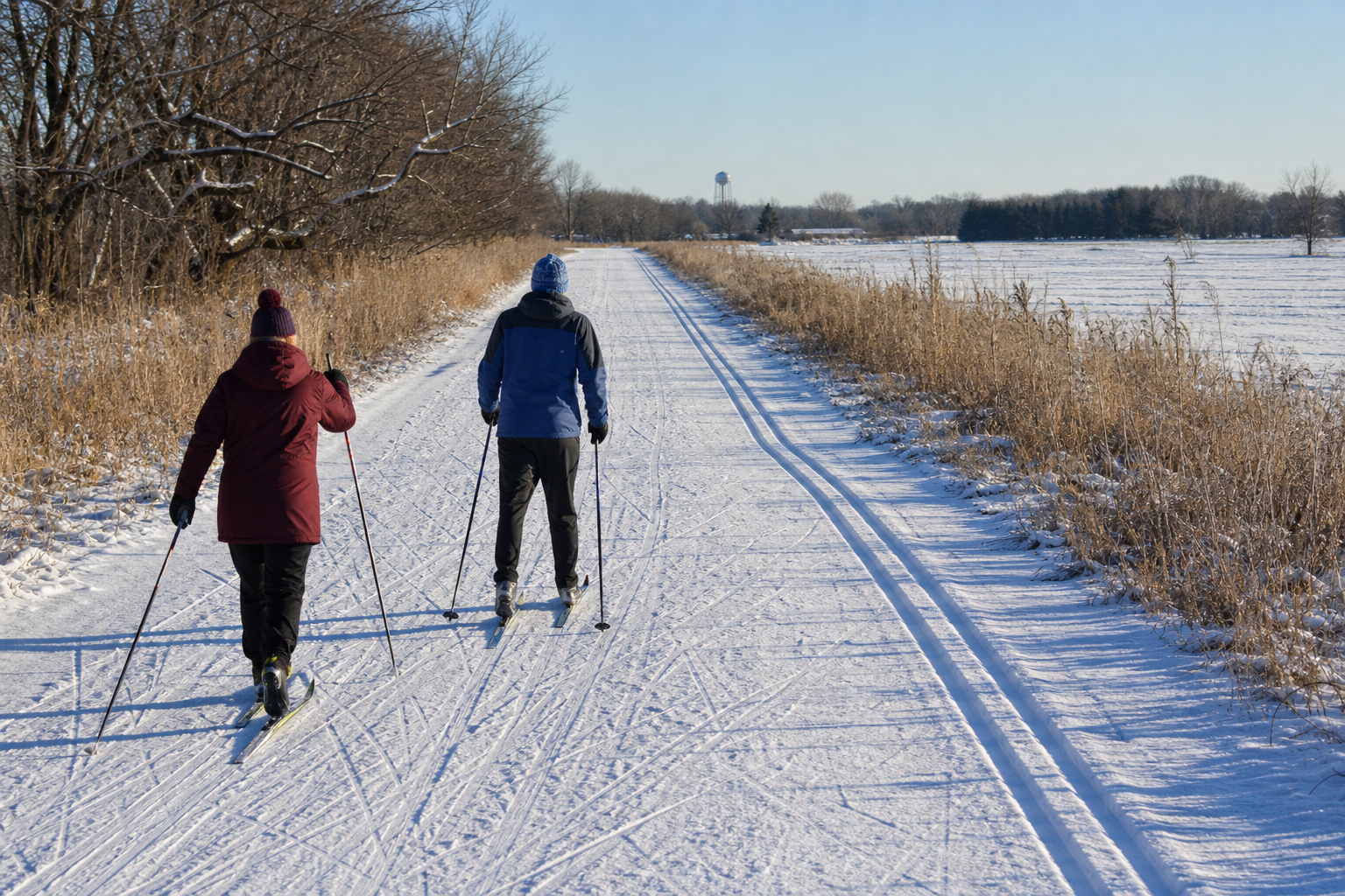
DNR lake ID 73020000
Koronis Lake
A Paynesville-area drainage lake in the North Fork Crow River watershed. The county operates Lake Koronis Regional Park; verify park and access details before travel.

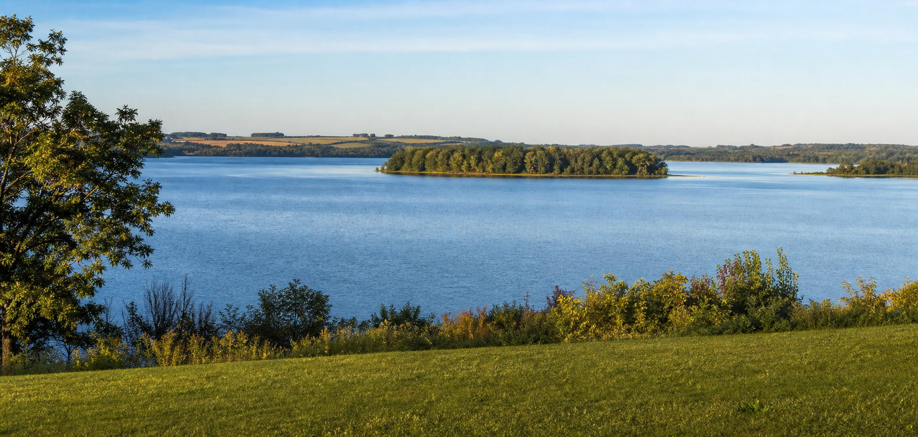
Northwest Minnesota · Sauk River lakes, Crow River headwaters and granite country
Stearns County changes character as you travel: the Mississippi and St. Cloud anchor the east, the Sauk River links lake communities through the middle, and Lake Koronis sends the North Fork Crow River toward the south. This guide joins exact DNR lake identities to county parks, granite history and rail-trail travel without treating a name, shoreline or generated image as proof of access or present conditions.
Accessible orientation
Interstate 94 connects St. Cloud, St. Joseph, Avon, Albany and Melrose; US 71 reaches Sauk Centre and Paynesville; Minnesota 23 crosses Richmond and Cold Spring. Those are planning bearings, not promises about the final road. Before a launch, park or trail visit, switch to the current DNR or Stearns County map and check notices.
Canonical named-lake discovery
The official inventory includes many named waters and many Unnamed records. This first canonical shard features Koronis, Big Fish, Big Spunk and Horseshoe lakes by complete DNR number. Big Birch Lake appears in Stearns geography but keeps its 77-prefix cross-county identity rather than becoming a duplicate Stearns page.
DNR lake ID 73020000
A Paynesville-area drainage lake in the North Fork Crow River watershed. The county operates Lake Koronis Regional Park; verify park and access details before travel.
DNR lake ID 73010600
A distinct Collegeville Township lake identity. Use the number to separate it from other Minnesota waters with the same name and check LakeFinder for current details.
DNR lake ID 73011700
The largest-numbered member of the named Spunk Lake group near Avon. Stearns County lists Upper Spunk Lake County Park; confirm which water and facility your route reaches.
DNR lake ID 73015700
A Munson Township identity within the Sauk River Chain of Lakes. Connected-water rules can differ, so verify the current regulation for the exact water.
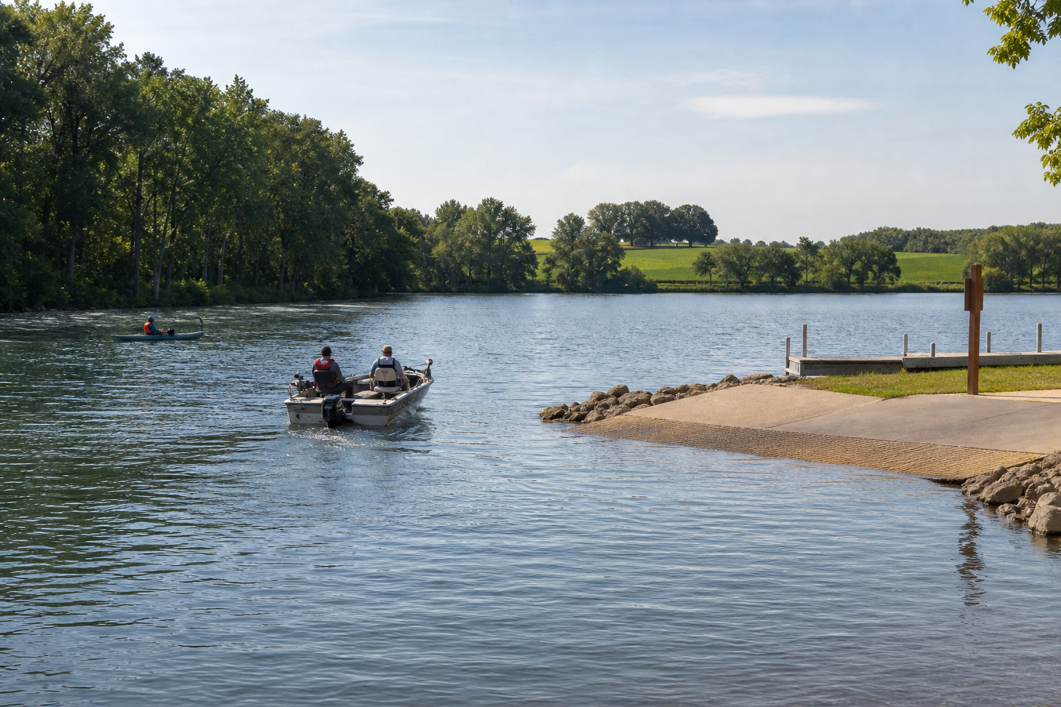
Parks, trail, river and fishing pathways
Stearns County maintains lakeside parks and canoe accesses, Quarry Park & Nature Preserve and the Lake Wobegon Trail. The DNR maintains lake, access, fishing and North Fork Crow River information. Each source answers a different question, so check the responsible operator rather than assuming one page covers every rule.
The official county directory includes Lake Koronis Regional Park, Two Rivers Lake County Park, Upper Spunk Lake County Park and Warner Lake County Park. Use the live park record for amenities, camping, reservations and restrictions.
Open Stearns County parksThe access map is a planning snapshot, while LakeFinder and current regulations carry water-specific details. The Sauk River Chain and connected waters have special rules in the 2026 regulations.
Prepare for fishingSt. Cloud, St. Joseph, Cold Spring, Avon, Albany, Melrose, Sauk Centre and Paynesville are useful mapped bearings. Add a festival, market or cultural stop only when its current date and organizer are verified.
Check verified events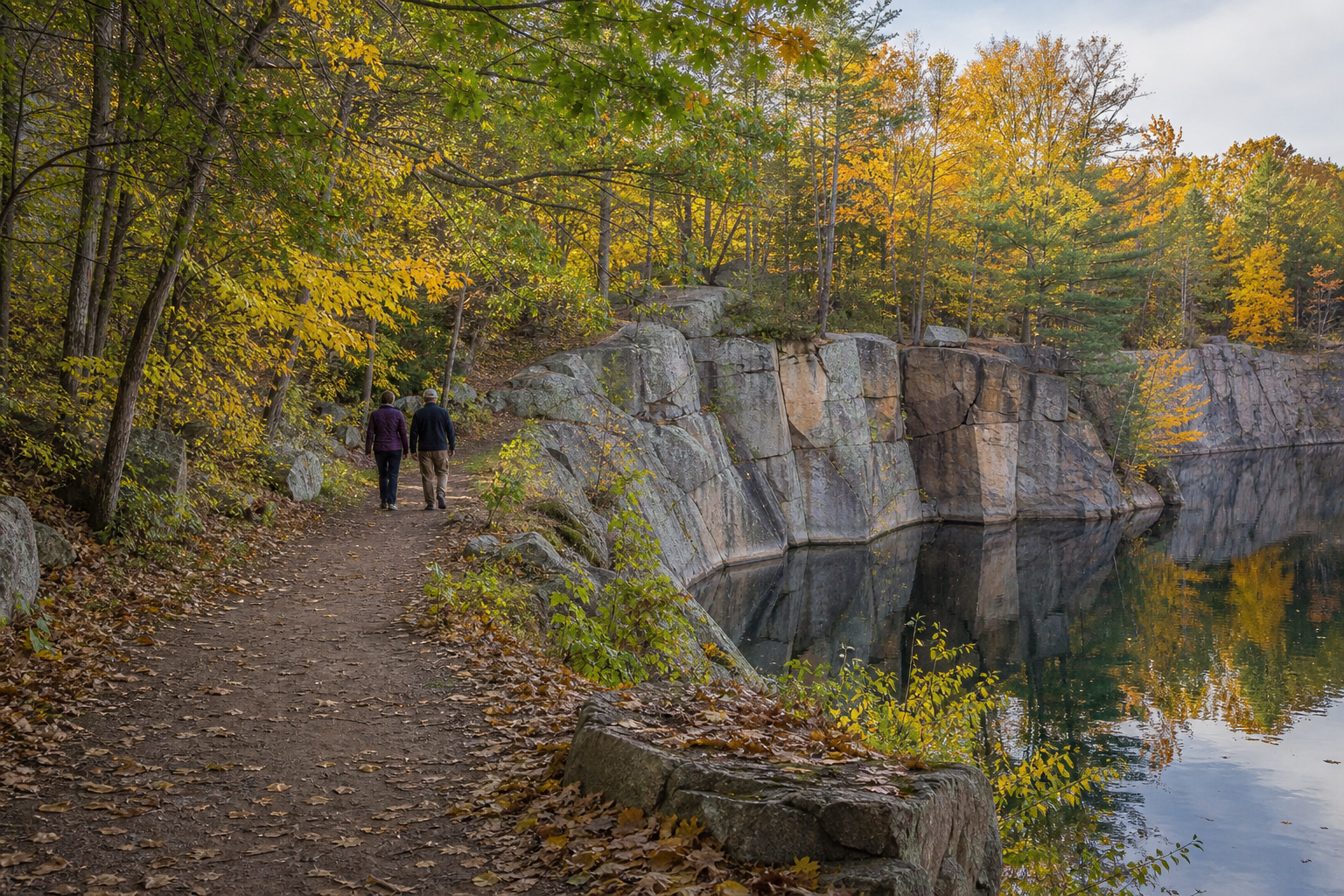
Quarry Park & Nature Preserve is a county destination built around former granite quarries, woods and trails near Waite Park. Pair it with the Lake Wobegon Trail for a land-based day, checking permits, route status and allowed activities before arrival.
Explore recreationFour-season planning