Identifiant DNR du lac 34007900
Green
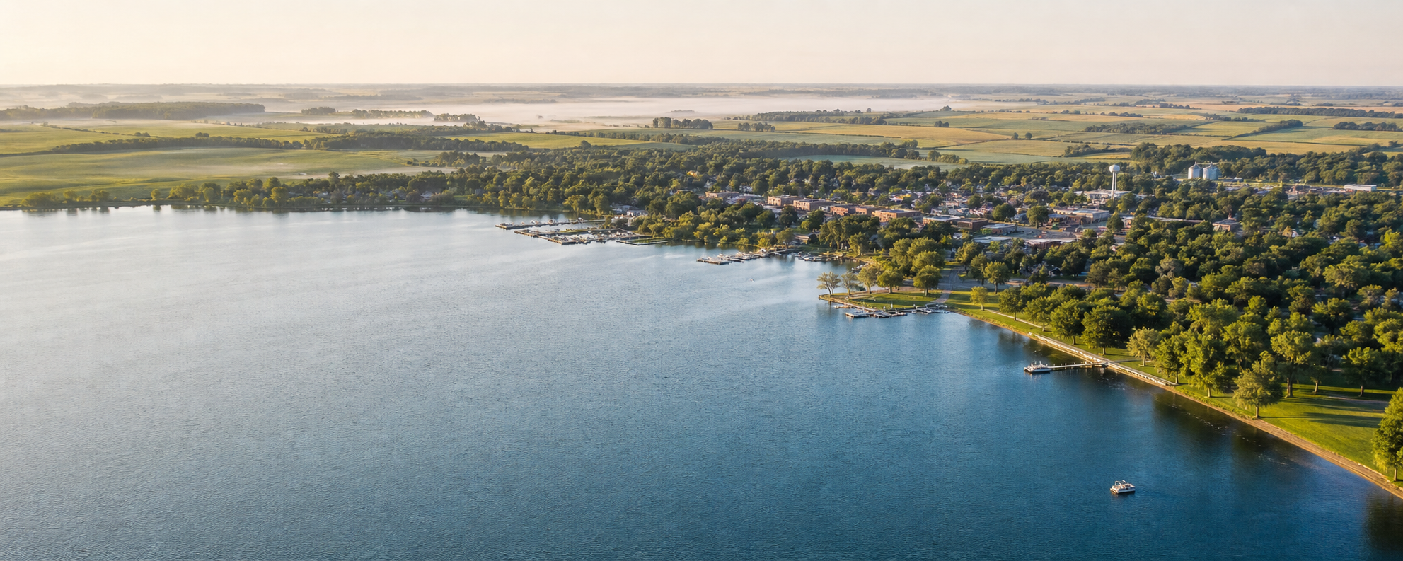
Green Lake is the county’s large, deep glacial lake beside Spicer. Official DNR records connect it with multiple public accesses and lake-specific fisheries information.
Continuer vers le répertoire des lacs
Southwest Minnesota · glacial lakes, prairie and city shorelines
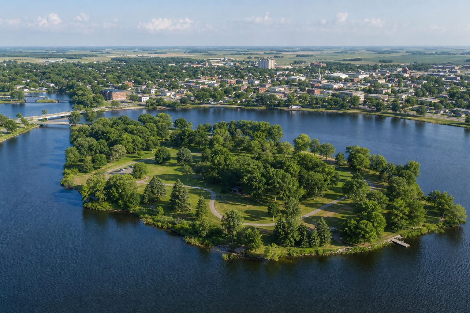
Kandiyohi County joins an urban lakefront in Willmar to Green Lake and Spicer, the rolling glacial country around New London, and broad prairie water farther south. Foot Lake puts trails and public green space beside the county seat; Lake Andrew anchors Sibley State Park; and Big Kandiyohi Lake opens onto a lower, wind-shaped horizon.
Orientation accessible
Willmar and Foot Lake form the central urban anchor. Spicer and Green Lake lie northeast; New London, Lake Andrew and Sibley State Park continue north. Big Kandiyohi Lake and its county parks lie south of Willmar, while the Glacial Lakes State Trail links Willmar and New London.
Découverte canonique des lacs nommés
This versioned starter catalog contains four verified named DNR basins, not a countywide total. Unnamed records are excluded, and each DNR identity appears once.
Identifiant DNR du lac 34007900
Green Lake is the county’s large, deep glacial lake beside Spicer. Official DNR records connect it with multiple public accesses and lake-specific fisheries information.
Continuer vers le répertoire des lacsIdentifiant DNR du lac 34008600
Big Kandiyohi is a large, shallow prairie lake south of Willmar with county campgrounds on its east and west shores.
Continuer vers le répertoire des lacsIdentifiant DNR du lac 34025100
Norway Lake is a named DNR basin in northern Kandiyohi County near the Sunburg area.
Continuer vers le répertoire des lacsIdentifiant DNR du lac 34005900
Lake Andrew is the water anchor for Sibley State Park near New London, where DNR manages camping, trails and lake recreation.
Continuer vers le répertoire des lacs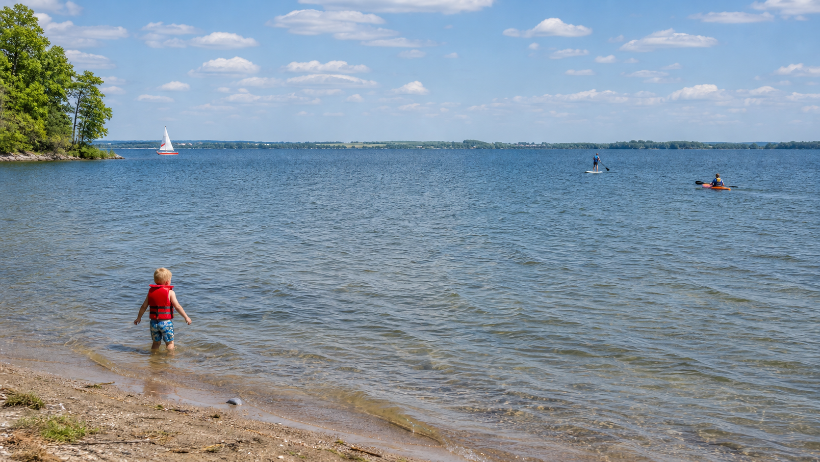
Parcs, campings et sentiers vérifiés
Les mises à l’eau, campings, accès aux sentiers et horaires saisonniers changent. Ces sources officielles établissent les liens ; consultez l’avis actuel du gestionnaire avant de partir.
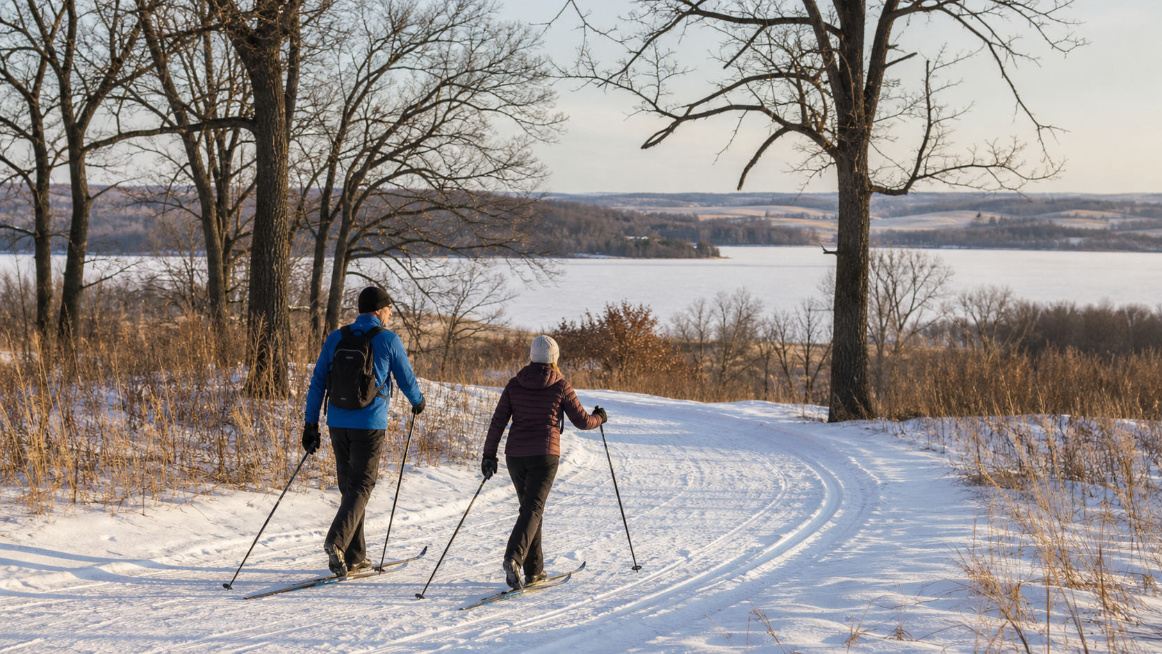
Minnesota DNR manages camping, trails, interpretive programs and lake recreation around Lake Andrew near New London. Check the park page for current alerts, accessibility and reservations.
Consulter le parc d’ÉtatKandiyohi County operates campgrounds and lake access at County Parks 2 and 3 on opposite shores of Big Kandiyohi Lake. Confirm reservations, dates and facility status with the county.
Check county parksThe paved DNR trail follows a former railroad route between Willmar and New London, creating a land-based connection through the county’s lake country. Check the official trail page for current conditions.
Check the state trail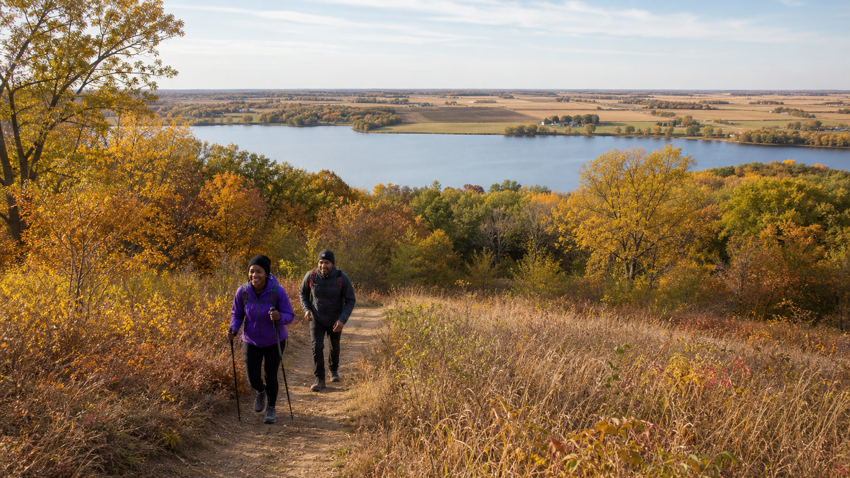
Pêche et protection de l’eau
Green, Big Kandiyohi, Norway and Andrew have distinct DNR records. Regulations, access and aquatic-invasive-species notices can change, so confirm the water and season before fishing, then clean, drain and dispose before moving equipment.
The county’s water story spans deep ice-block basins in northern glacial moraine, shallower prairie basins to the south, and public shorelines woven into Willmar, Spicer and New London. Use official park interpretation and current calendars for verified cultural and natural-history programs.
Planification en toute saison