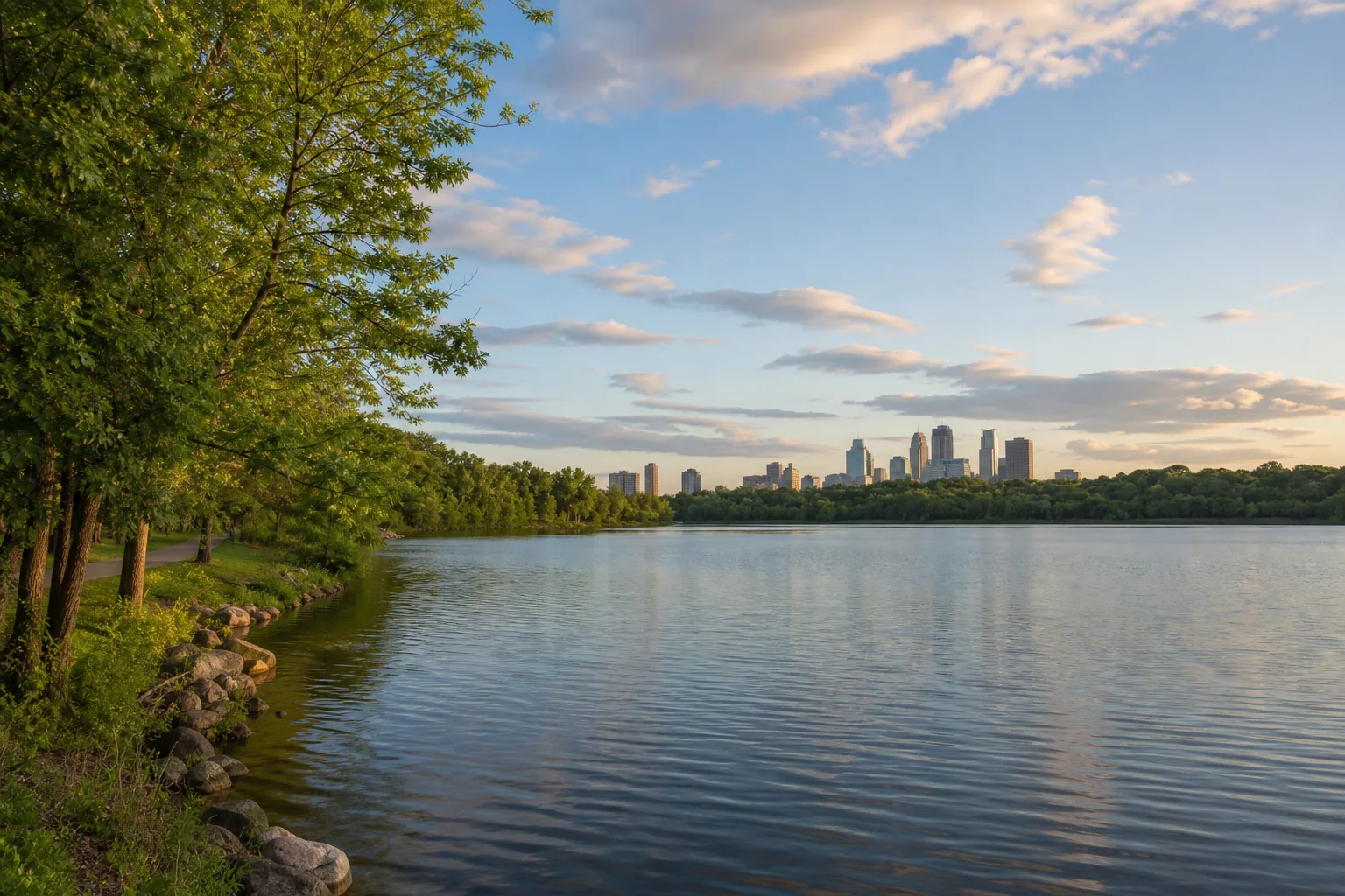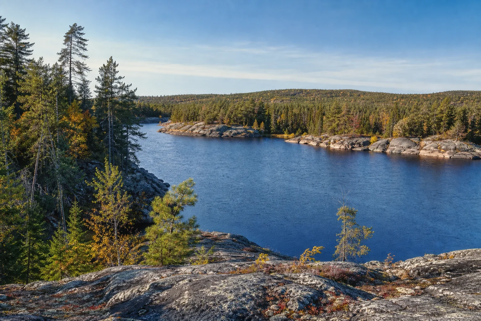
Meet Minnesota lakes with remarkable depth.
Compare maximum depths reported by the Minnesota DNR, then open official lake tools to inspect contours, surveys, and current source records.
Explore the collectionHow to read these depths
This page orders named natural lakes appearing in the DNR’s published depth facts by reported maximum depth. It is a collection of those published entries, not a claim that every Minnesota basin has been resurveyed and ranked together.
Mine pits and border-water Lake Superior are outside this natural-lake comparison. Maximum depth is the deepest reported sounding, not average depth, swimming depth, or a promise about today’s water level.
Primary source: Minnesota DNR, Lakes, rivers, and wetlands facts. Checked July 27, 2026; the DNR page marks the facts reviewed in 2013. Open the official depth table
Deep natural lakes in the DNR facts table
Bars compare each published figure with Lake Saganaga’s 280 feet. Use the DNR tool for the lake’s record and any available depth map.
-
1
-
2
-
3
-
4
-
5
-
6
-
7
Cass Lake
120 feet maximum depth
Beltrami and Cass counties
Find record and depth map in DNR LakeFinder -
8
Why maximum depth has limits
A bathymetric map connects measured soundings into depth contours. Survey spacing, equipment, water level, map age, and later sediment movement can affect the picture. A single maximum does not describe basin shape, temperature layers, oxygen, clarity, or safe navigation.
Near shore, sunlight can reach the bottom and support plants—the littoral zone. DNR lake-health guidance commonly uses 15 feet as an orientation threshold, while noting that actual plant depth varies with water clarity.