

Find a lake worth knowing.
Search the source-reviewed catalog, follow a region, or open a collection built from comparable lake records. Every profile starts with a name and an authoritative identity.
Search named lakesLake stories begin with a fair comparison.
Collections appear only from qualifying published records. Missing measurements never become zero, and lakes measured by different methods are not silently ranked together.
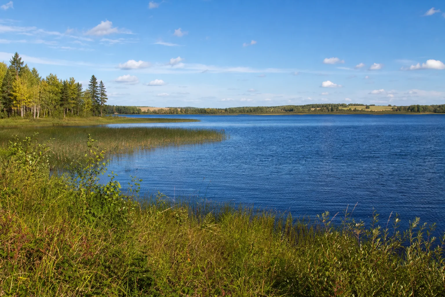
Largest lakes
Compare verified surface area in acres within one stated lake population.
See the rankingLargest-lake cards appear when published records meet the shared area and source rules. Browse the named-lake directory below now.
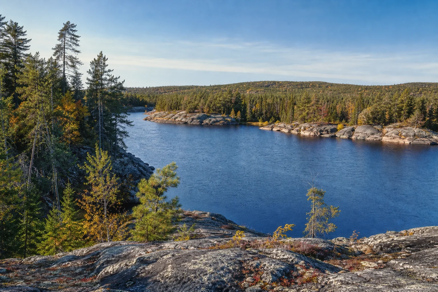
Deepest lakes
Compare source-reviewed maximum depth in feet without mixing lake classes.
Explore the collectionDeepest-lake cards appear when published records meet the shared depth and source rules. Browse the named-lake directory below now.
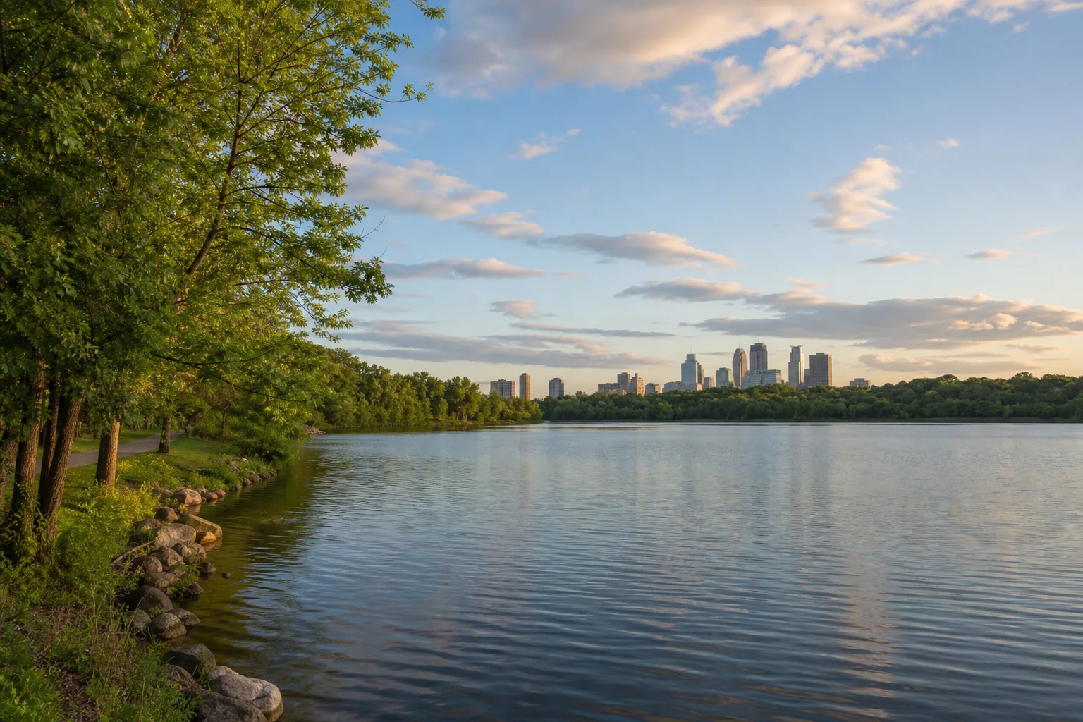
Clearest lakes
Compare dated clarity observations only when metric, time window, coverage, and quality rules align.
Compare the measurementsClarity cards appear when published records meet one shared metric, time-window, quality, and source contract. Browse the directory below now.
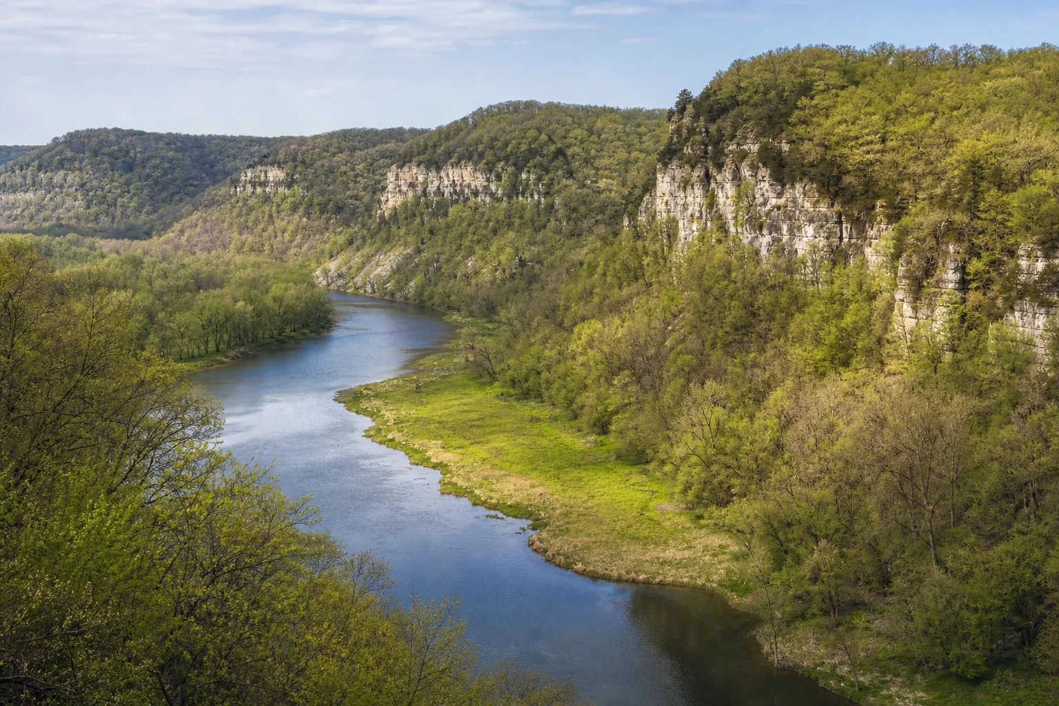
Fishing lakes
Open lakes with approved fish records, then check current regulations, access, and conditions before going.
Fishing cards appear when published lake profiles carry an approved fish record and source trail. Browse the directory below now.
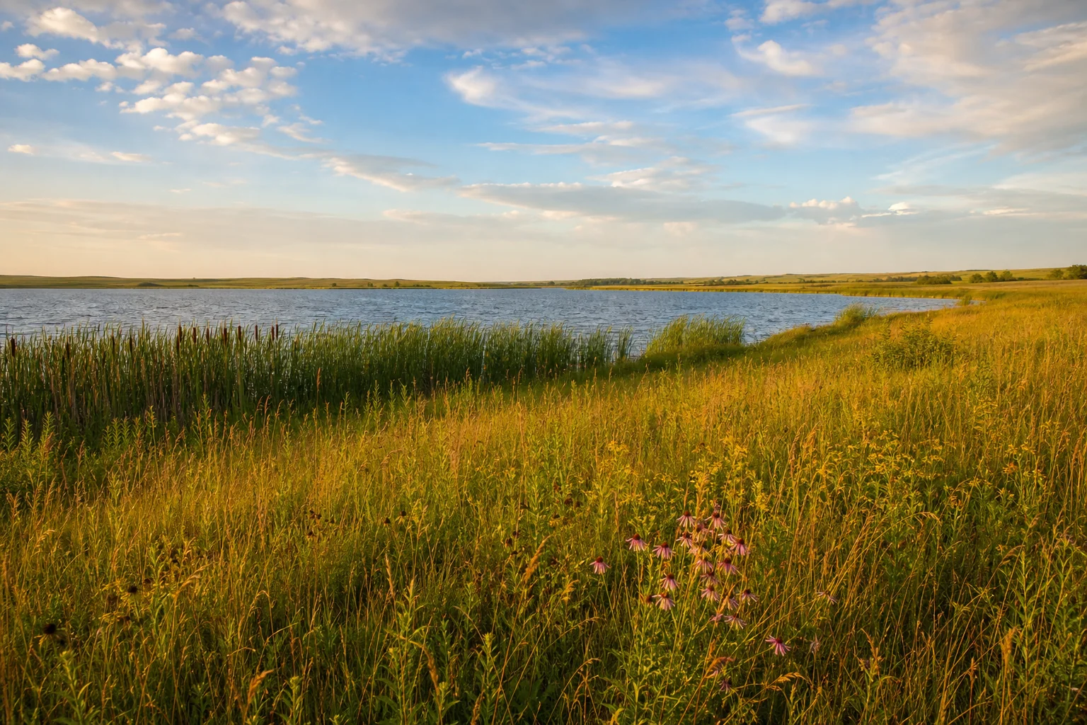
Unique lakes
Discover published lake profiles with a source-reviewed natural or cultural story.
Unique-lake cards appear when a published profile carries a reviewed story and source trail. Browse the directory below now.
Lakes by region
Move across Minnesota’s five discovery regions, then narrow the water by county.
One metric, one unit, one stated population.
Area uses acres; depth uses maximum depth in feet; clarity requires a dated observation in feet. A collection is ordered only when records share a defined comparison scope and carry an authoritative source plus verification date. Fishing means an approved record reports fish—not a promise of access, conditions, or a catch.
Methods: MinnesotaLakes lake-source methodology · reviewed July 20, 2026. Record freshness is shown on each qualifying lake card.
Search the published catalog.
Search by lake name or filter by region, county, fish record, and verified measurement. Without JavaScript, this form and the paged archive still work.
No lakes match these public filters
Try fewer filters. Only published, source-reviewed lake profiles appear here.