Start with official records
Lake, river, access, fisheries, and water-quality details begin with the agency or dataset responsible for them.

Search named lakes and rivers, understand the places around them, and plan time outside with official sources kept close at hand.
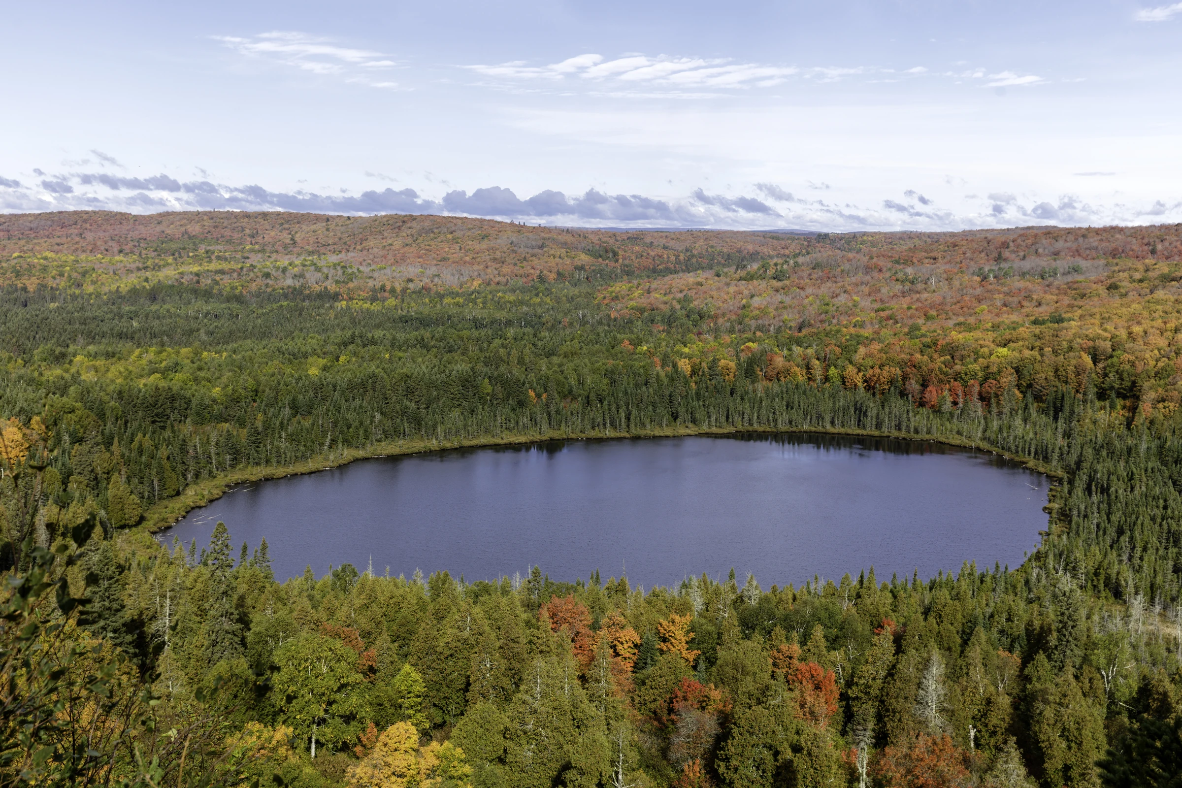
Voyageurs National Park · documentary photo by the U.S. National Park Service, public domain
MinnesotaLakes.info connects inviting stories and trip ideas to the source records behind them. When a detail is uncertain, unavailable, seasonal, or out of date, the page says so.
Lake, river, access, fisheries, and water-quality details begin with the agency or dataset responsible for them.
Conditions and rules change. Source names, retrieval dates, and last-reviewed dates stay visible where they matter.
Documentary photography, editorial guidance, and verified data are labeled and never asked to impersonate one another.
Start broad, then move into counties, communities, and named waters. The five-region guide keeps geography understandable without pretending every shoreline feels the same.
County guides provide a practical bridge between statewide discovery and local detail—named lakes and rivers, public lands, communities, and source-backed recreation nearby.
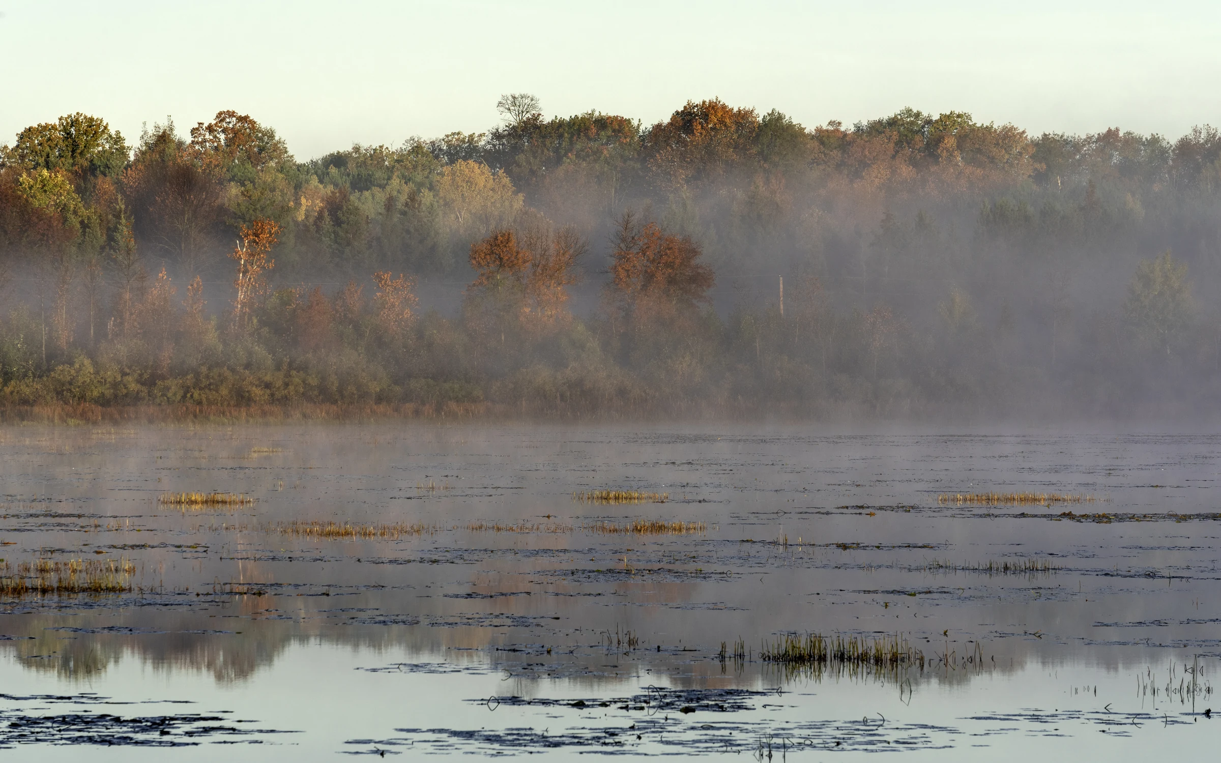
Search named-lake profiles for verified location, source trails, available water and fisheries records, nearby context, and responsible ways to explore. Unverified fields stay out of view.
Find a named lake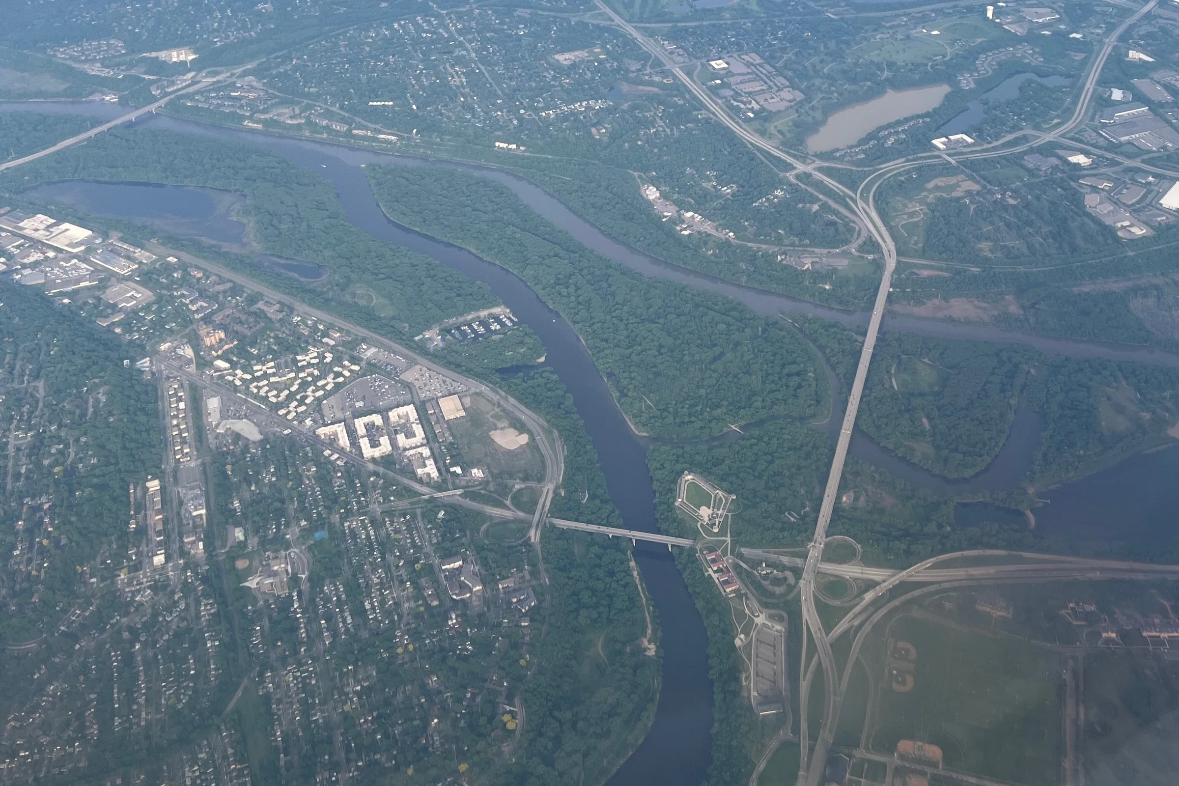
River guides connect watersheds, communities, paddling context, seasonal safety, and official information without turning a beautiful overview into a substitute for current conditions.
Follow Minnesota riversStart with an activity, then check the place, season, access, safety, and stewardship details that shape a good day on Minnesota water.
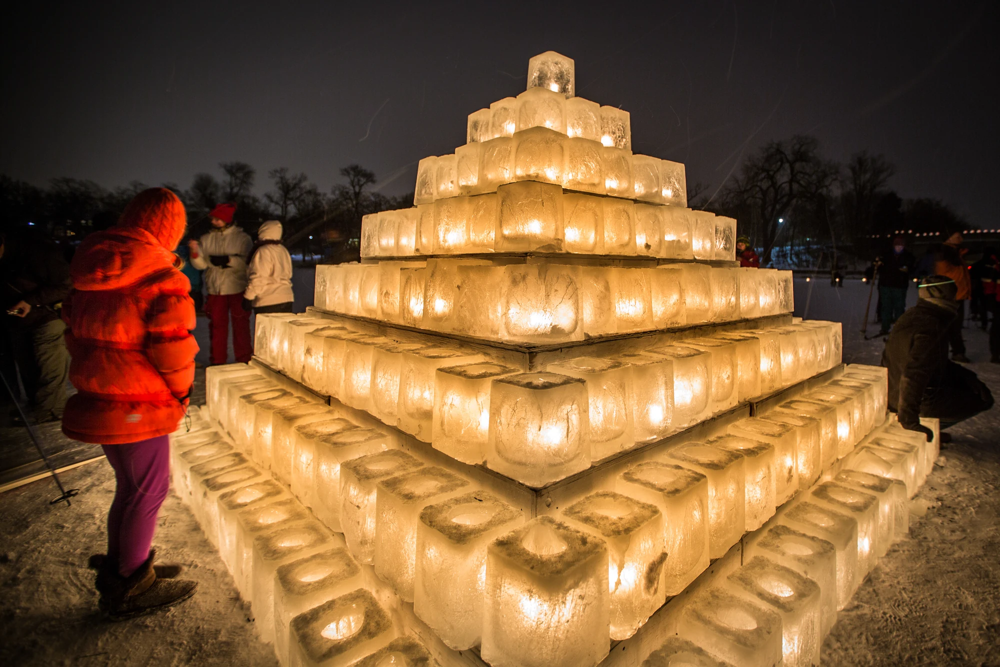
Discover reviewed lake and river events with dates, organizers, locations, and status checks. If the calendar has no current verified listings, it says so plainly.
See verified events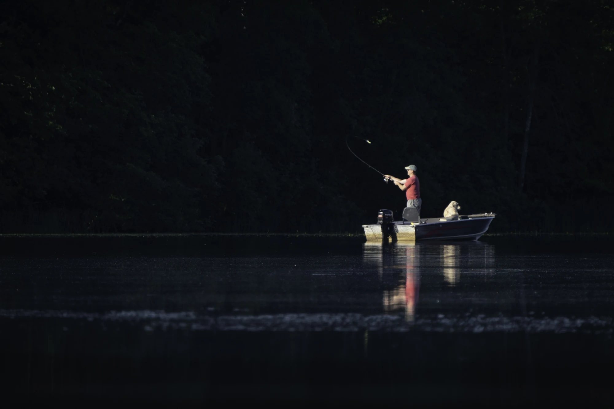
Build practical Minnesota fishing knowledge, then confirm seasons, limits, licenses, and water-specific regulations with the Minnesota DNR before heading out.
Use maps and source-reviewed data to orient your search, then learn how Minnesota waters form, change, and support life.
Location, depth, clarity, quality, access, and nearby-place claims require an approved source, method, scope, and verification date. Exact maps remain hidden when coordinates or rights are incomplete.
Explore maps and dataExplore lake formation, depth and clarity, ecology, fish, aquatic plants, invasive species prevention, safety, stewardship, and the source methods behind the site.
Learn how lakes workChoose a place, confirm access and current conditions, pack for the season, and leave the water and community better than you found them.
Unsupported facts stay unpublished
Documentary media and editorial guidance are identified in their source records.