Skip to content
Minnesota’s biggest inland waters

Ten lakes where the horizon opens wide.

Compare the Minnesota DNR’s ten largest lakes lying entirely within the state, then follow a verified profile, region, map, or trip-planning path.

See the ranking
A comparison with clear edges

What this ranking counts

The order and acre figures reproduce the Minnesota DNR’s published list of the ten largest lakes whose entire waterbody lies within Minnesota. A lake spanning counties appears once. Red Lake follows the DNR’s combined Upper and Lower Red Lake entry.

Lake Superior and Lake of the Woods are not mixed into this ranking because they cross Minnesota’s border. The DNR reports them separately as border lakes.

Primary source: Minnesota DNR, Lakes, rivers, and wetlands facts. Source reviewed July 27, 2026; DNR page marks the figures reviewed in 2013. Open the official list

Ranked by surface area

Minnesota’s ten largest in-state lakes

Each bar uses Red Lake as the 100% comparison. Acre labels carry the exact published values; bars are an orientation aid, not a map.

  1. 1

    Red Lake (Upper and Lower combined)

    288,800 acres

    Beltrami County · Northwest region

  2. 2

    Mille Lacs Lake

    132,516 acres

    Aitkin, Crow Wing, and Mille Lacs counties · Northeast region

  3. 3

    Leech Lake

    111,527 acres

    Cass County · Northwest region

  4. 4

    Lake Winnibigoshish

    58,544 acres

    Cass and Itasca counties · Northwest region

  5. 5

    Lake Vermilion

    40,557 acres

    St. Louis County · Northeast region

  6. 6

    Lake Kabetogama

    25,760 acres

    St. Louis County · Northeast region

  7. 7

    Mud Lake

    23,700 acres

    Marshall County · Northwest region

  8. 8

    Cass Lake

    15,596 acres

    Beltrami and Cass counties · Northwest region

  9. 9

    Lake Minnetonka

    14,004 acres

    Hennepin County · Metro region

  10. 10

    Otter Tail Lake

    13,725 acres

    Otter Tail County · Northwest region

From prairie edge to border country

Place the big water in context

The collection reaches Northwest, Northeast, and Metro Minnesota. Use the site map hub for county and waterbody context; open official mapping when exact boundaries matter.
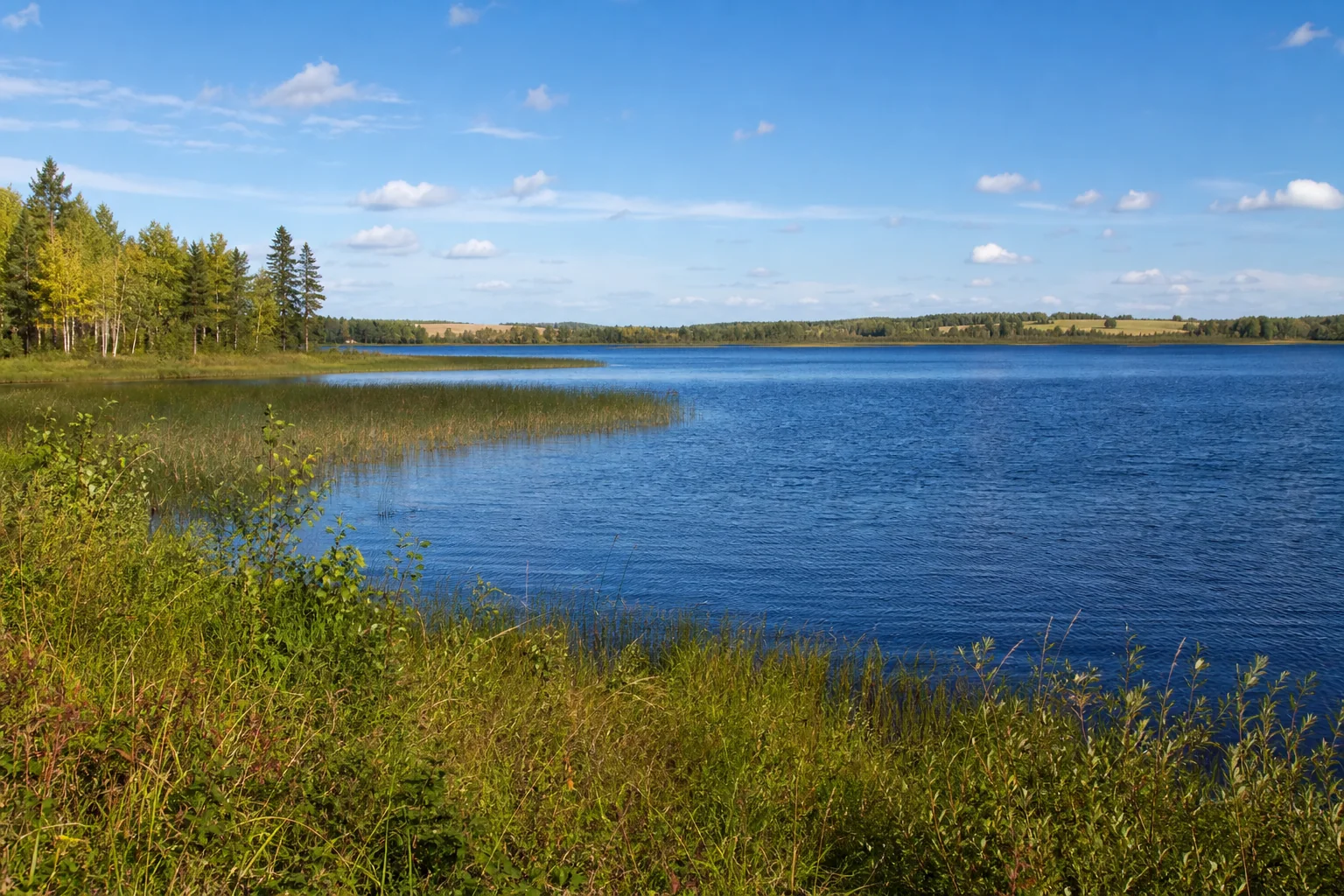
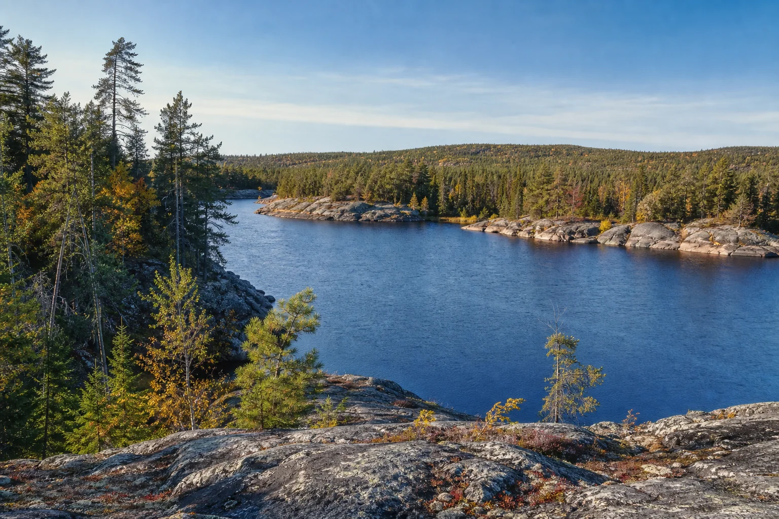
Illustrative northwest Minnesota lake edged by forest and wetland.
Illustrative regional landscape; use mapped records for boundaries and access.
Keep exploring

Turn a ranking into a day by the water.