Skip to content
Four lakes, four specific stories

Minnesota lakes that change how you read the map.

Stand where a continental river begins, trace a lake held back by another river’s sediment, navigate Canadian Shield islands, and follow water-quality work across an international border.

Meet the four lakes
Selected for evidence, not hype

What earns a place here

Each named lake has a documented geological, ecological, cultural, or recreational characteristic in a Minnesota agency or university record. This is a curated learning collection, not a complete list or ranking.

Lake identities and linked evidence checked July 27, 2026. Conditions, access, and management guidance can change; open the official source before a visit.

Read the distinction

A lake can be a source, a passage, a laboratory, or all three.

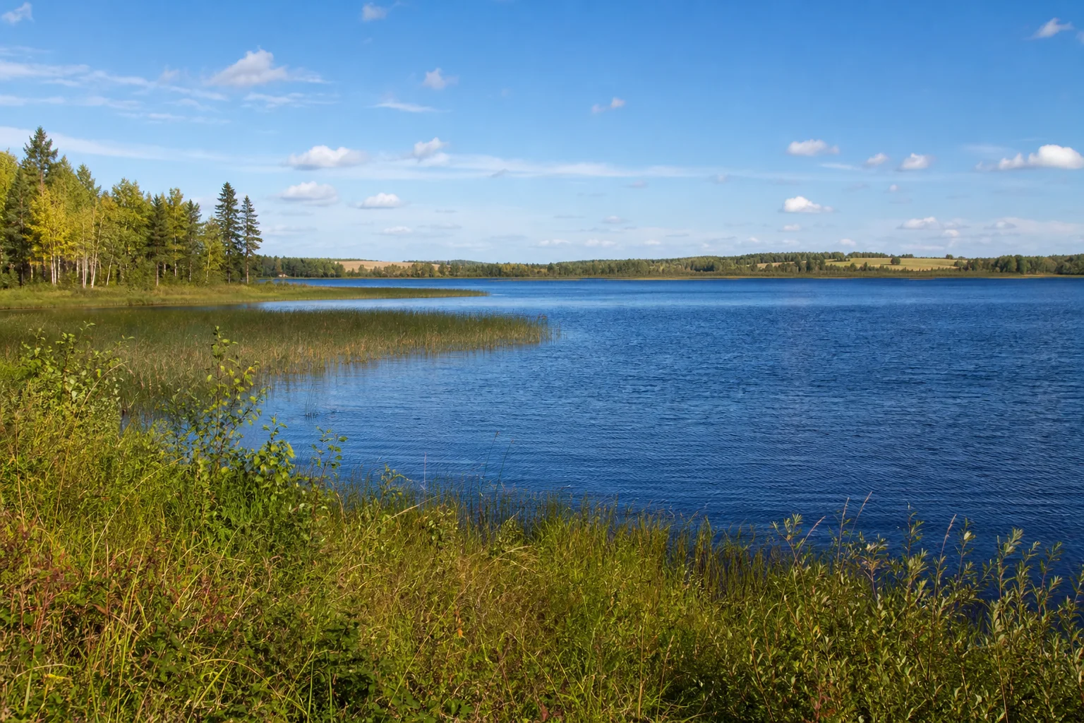
Illustrative Northwest Minnesota lake and forest landscape.

Northwest · DNR 15-0016-00

Lake Itasca

At Lake Itasca’s north outlet, the Mississippi begins as a shallow, narrow channel. The DNR’s headwaters interpretation connects this hydrologic landmark with the site’s Ojibwe guidance and later survey history.

Open the official evidence
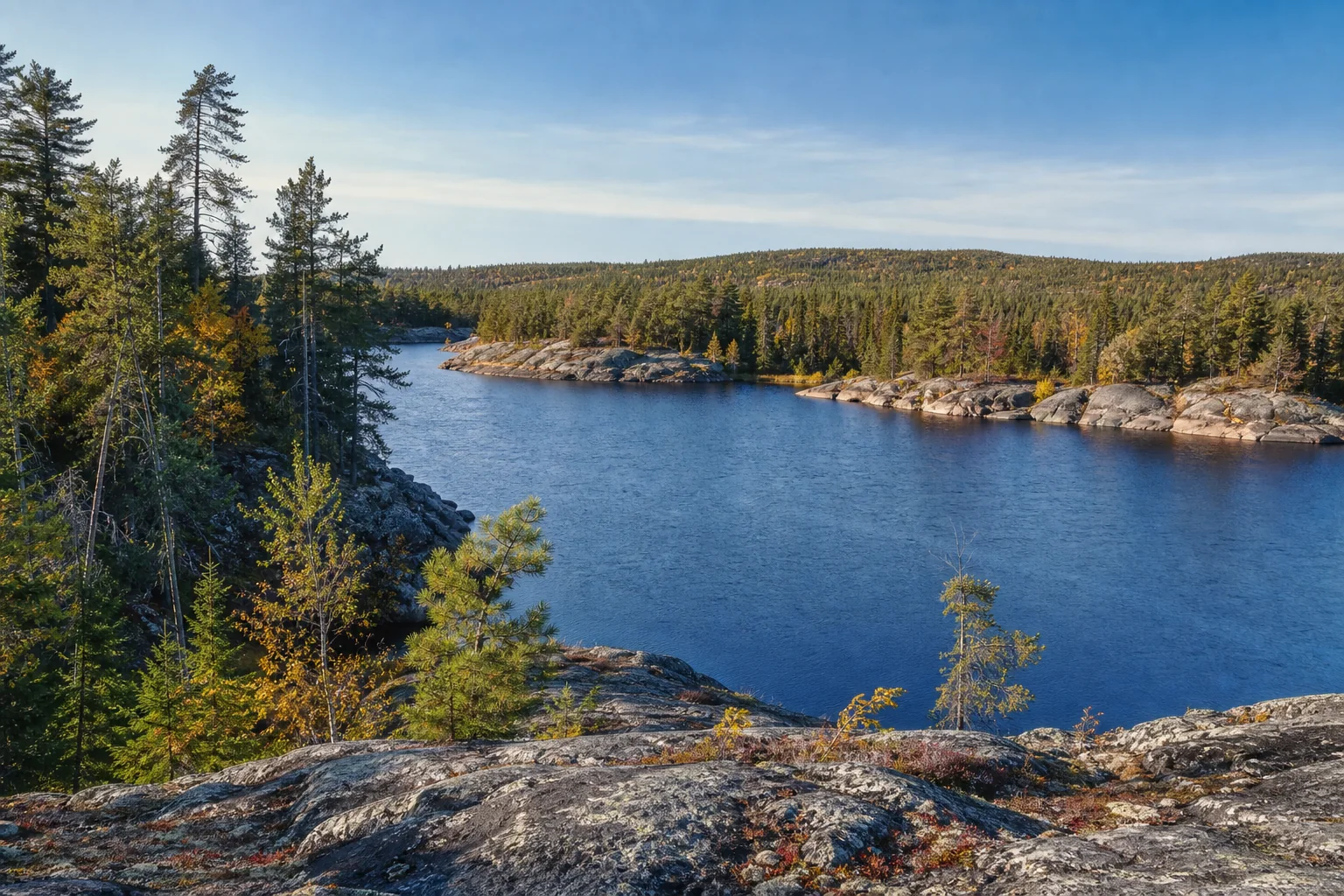
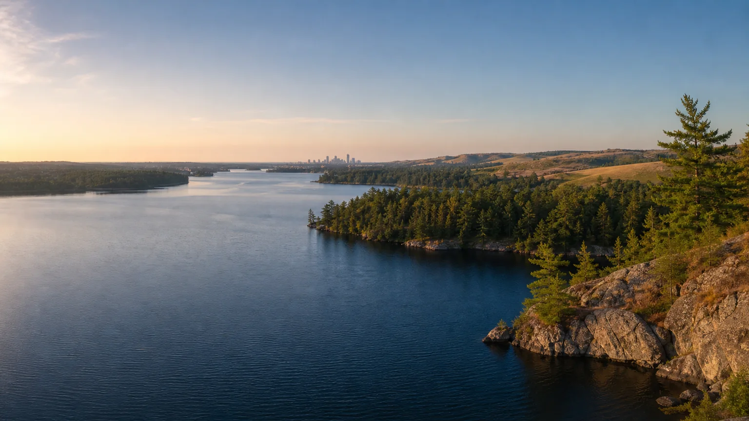
Illustrative rocky lake and forest landscape of Northeast Minnesota.

Northeast · DNR 69-0378-00

Lake Vermilion

Lake Vermilion’s Canadian Shield setting produces boulder shorelines, bays, and hundreds of islands. DNR also invites anglers to scan tagged muskellunge, turning a fishing day into movement and survival data.

Open the official evidence
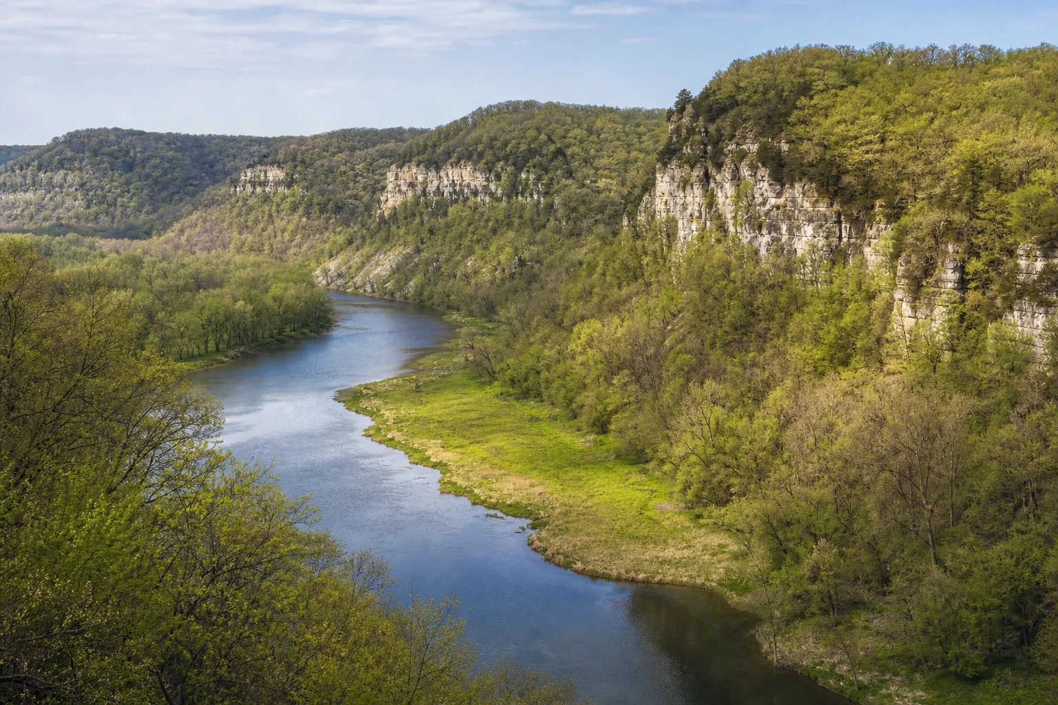
Illustrative lake and bluff landscape of Southeast Minnesota.

Southeast · DNR 25-0001-00

Lake Pepin

Lake Pepin is a naturally occurring lake within the Mississippi River, formed where Chippewa River sediment partly dammed the channel. The DNR also documents Ralph Samuelson’s first water-skiing ride here in 1922.

Open the official evidence
Illustrative open-water Minnesota lake landscape.

Northwest · DNR 39-0002-00

Lake of the Woods

Lake of the Woods crosses Minnesota, Ontario, and Manitoba. Its water-quality work therefore joins state, federal, tribal, provincial, local, and Canadian partners across one connected basin.

Open the official evidence
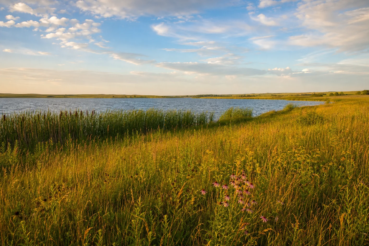
Illustrative Minnesota prairie lake beneath a wide sky.
The collection reaches from the Mississippi headwaters and international border to the bluff country of Lake Pepin.
Regional distribution

Follow connections, not pins alone.

Two stories begin in Northwest Minnesota, one lies in the Northeast’s Canadian Shield country, and one follows the Mississippi through Southeast bluff country. Use the regional and map hubs to place each lake in its watershed and county context.

Carry the story into a trip

Learn the system, respect the place, then plan.