DNR lake ID 82005200
Big Marine
Big Marine is a named DNR basin east of Forest Lake. DNR and county sources verify multiple public accesses, a county park launch and a fishing pier.
Continue to the lake directory
Metro Minnesota · glacial lakes to the St. Croix
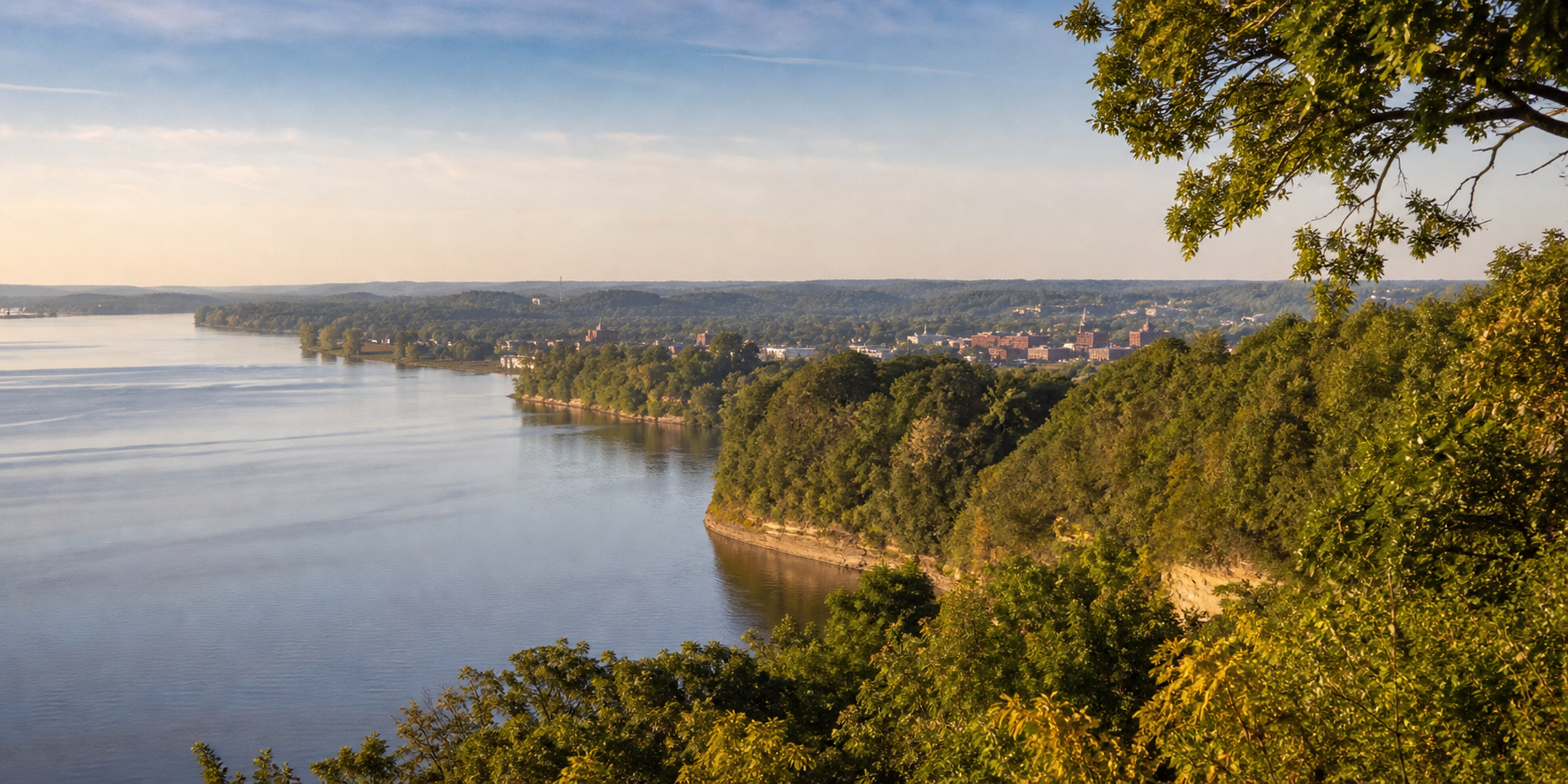
Washington County follows water from the Forest Lake and Big Marine lake country through Lake Elmo to the wooded St. Croix bluffs. Stillwater and the river orient the east; county parks at Square, Big Marine and Elmo turn a map of separate basins into practical places to paddle, fish, camp, walk and ski.
Accessible orientation
Forest Lake and Scandia orient the north. Stillwater, Bayport and Oak Park Heights face the St. Croix in the center-east. Lake Elmo and Woodbury anchor the central metro edge, while Afton and Cottage Grove lead south toward St. Croix Bluffs and the Mississippi confluence corridor.
Canonical named-lake discovery
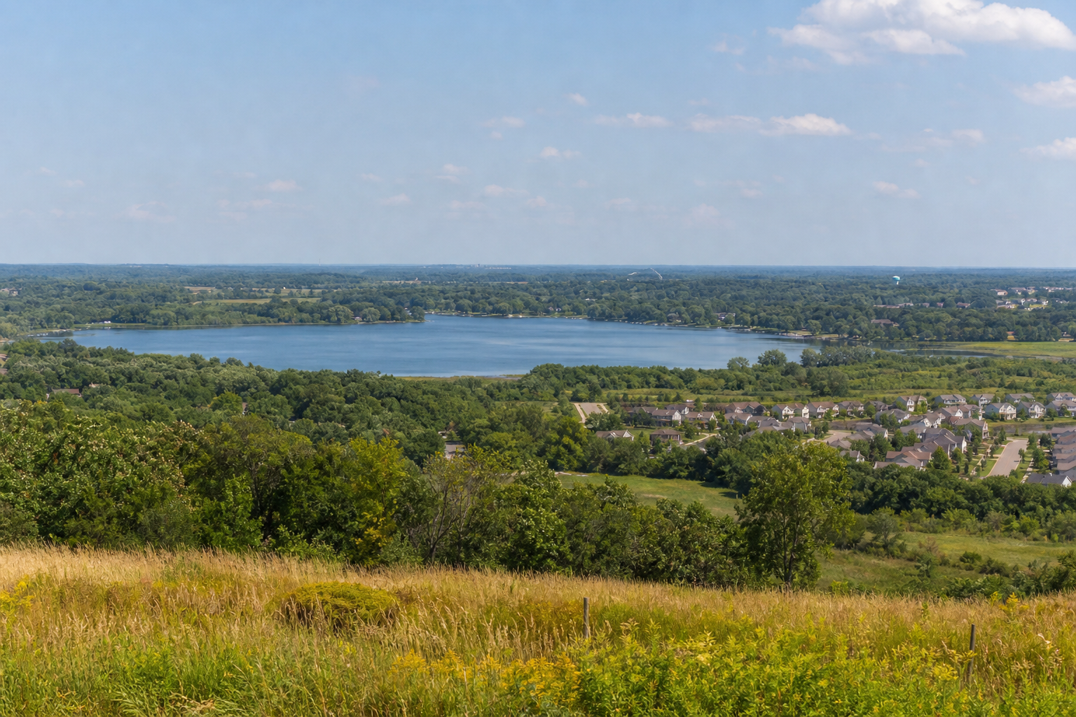
This versioned starter catalog contains four verified named DNR basins, not a countywide count. Unnamed records are excluded. Forest and White Bear waters that cross county lines retain one canonical identity rather than duplicate pages.
DNR lake ID 82005200
Big Marine is a named DNR basin east of Forest Lake. DNR and county sources verify multiple public accesses, a county park launch and a fishing pier.
Continue to the lake directoryDNR lake ID 82015900
Forest Lake is a named DNR basin at the county’s northwestern edge. Use the canonical lake identity and current city or DNR access information before launching.
Continue to the lake directoryDNR lake ID 82010600
Elmo is the named DNR basin beside Lake Elmo Park Reserve, where Washington County manages a launch, trails, a campground and year-round recreation.
Continue to the lake directoryDNR lake ID 82004600
Square is a named DNR basin north of Stillwater. Its county park provides the public launch, shore fishing and a fishing pier; current restrictions and conditions remain manager-controlled.
Continue to the lake directory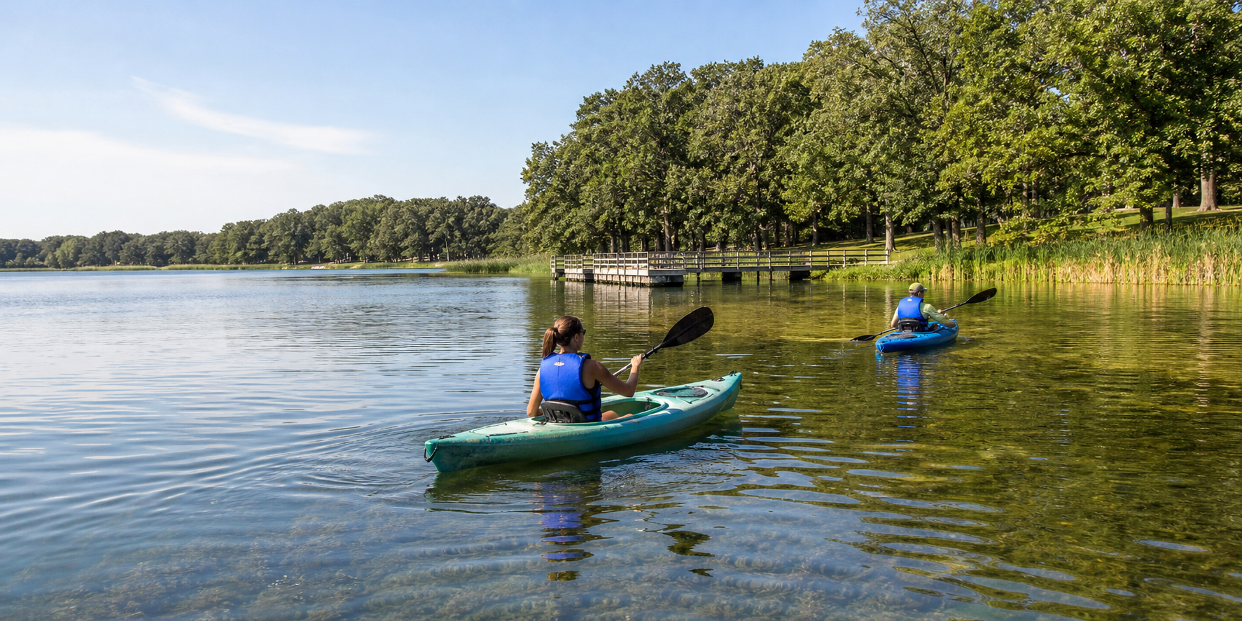
Verified parks, camping and trails
Launches, beaches, rentals, campgrounds, trail surfaces and event schedules change. These official anchors establish each place relationship; check the current notice before departure.
Washington County manages lake access, a modern campground, trails, a swim pond and seasonal recreation at Lake Elmo Park Reserve. Confirm camping dates, permits and activity status on the parks dashboard.
Check Lake Elmo Park ReserveWashington County operates park launches and fishing piers on both lakes. DNR lake pages establish the access relationships; county notices control current hours, permits and facility status.
Check the official Big Marine lake pageThe DNR identifies the St. Croix as a state water trail and national scenic riverway. At Stillwater it widens into Lake St. Croix; farther south, Washington County manages river access at St. Croix Bluffs Regional Park.
Check the St. Croix water trail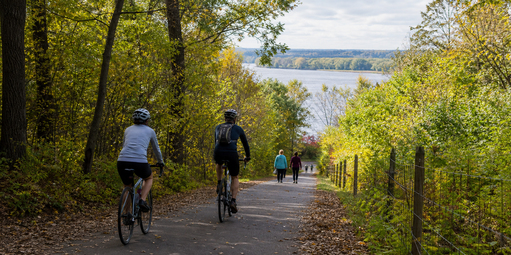
Fishing and clean-water practice
Square and Big Marine have lake-specific information, and rules or aquatic-invasive-species notices can change. Match the DNR ID, consult current regulations and clean, drain and dispose before moving boats or equipment.
Brown’s Creek State Trail connects the Gateway State Trail with the St. Croix riverfront at Stillwater. Use current DNR trail information and the responsible park or community calendar for closures, programs and verified events.
Four-season planning