DNR lake ID 06015200
Big Stone
Big Stone is the long border lake beside Ortonville and the source of the Minnesota River. Its canonical identity is retained once even though the water also borders South Dakota.
Continue to the lake directory
Southwest Minnesota · prairie water at the state line
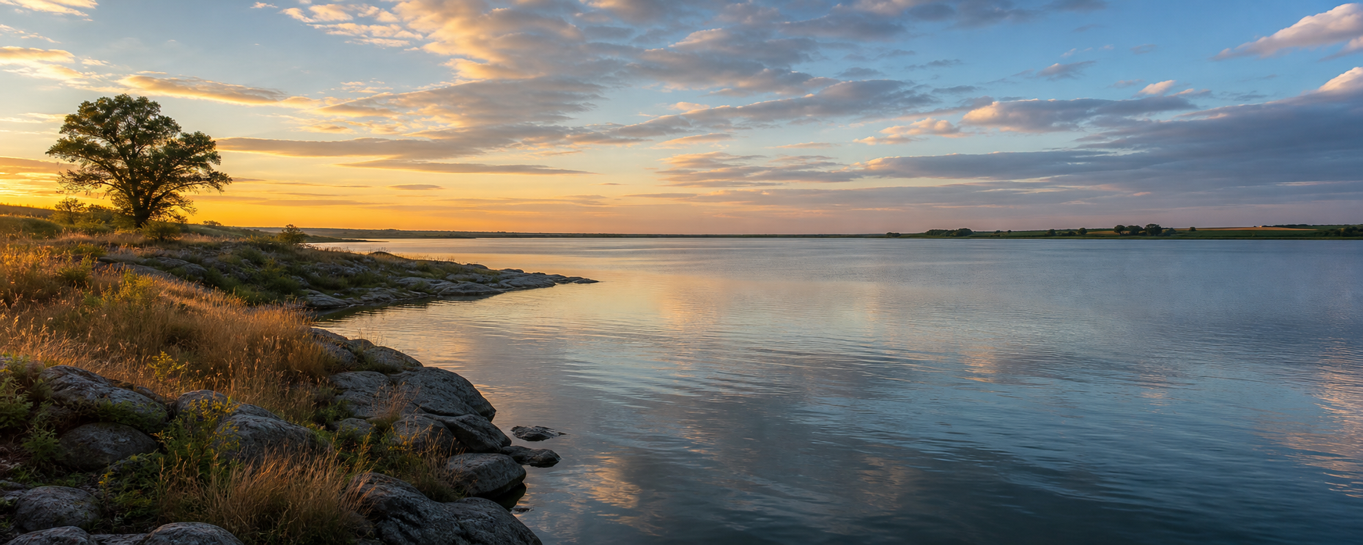
Here, lake country opens to the sky. Big Stone Lake stretches along Minnesota’s western edge, Ortonville sits where the lake becomes the Minnesota River, and downstream wetlands, granite outcrops and restored prairie lead toward Odessa. Eastward, Artichoke and Toqua waters add quieter stops in an agricultural landscape.
Accessible orientation
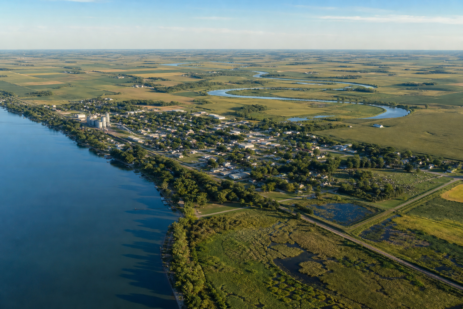
Ortonville anchors the county’s west edge on Big Stone Lake. The lake’s outlet begins the Minnesota River, which runs southeast past the Big Stone National Wildlife Refuge and Odessa. Graceville and Toqua Lake orient the northeast; Artichoke Lake lies farther east in the Pomme de Terre watershed.
Canonical named-lake discovery
This versioned starter catalog contains two verified named DNR basins, not a countywide total. Unnamed records are excluded. Big Stone Lake keeps one canonical MinnesotaLakes identity rather than separate pages for each jurisdiction.
DNR lake ID 06015200
Big Stone is the long border lake beside Ortonville and the source of the Minnesota River. Its canonical identity is retained once even though the water also borders South Dakota.
Continue to the lake directoryDNR lake ID 06000200
Artichoke is a named DNR basin east of Ortonville in the Pomme de Terre River watershed. DNR monitors it as a shallow-prairie Sentinel Lake.
Continue to the lake directory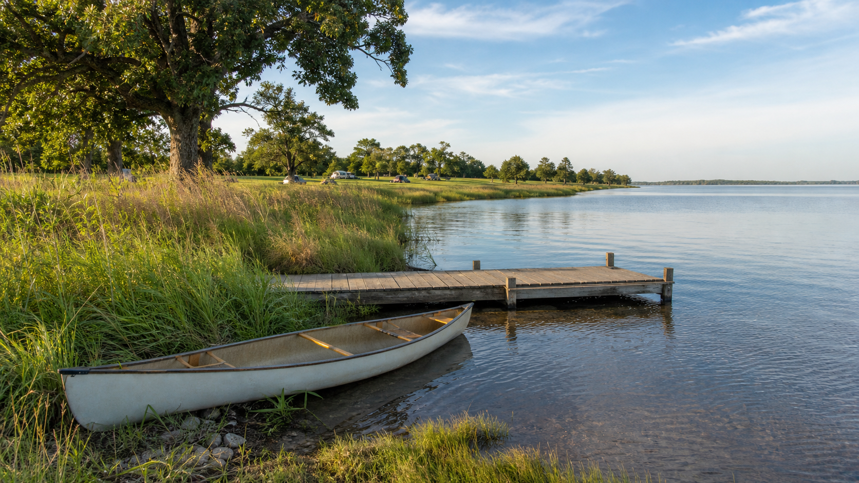
Verified parks, camping and trails
Launches, campsites, trail access and seasonal hours change. These official anchors establish the place relationships; follow the responsible manager’s current notice before departure.
Minnesota DNR manages Meadowbrook, Overlook and Bonanza areas along Big Stone Lake. The park connects lake access and camping with prairie, oak woodland and shoreline trails.
Check the state parkBig Stone County operates Toqua Park at Toqua Lake in Graceville, with a campground, public ramp, beach and land-based recreation. Confirm reservations and seasonal facility status with the county.
Check Toqua ParkThe U.S. Fish and Wildlife Service manages prairie, wetlands, Minnesota River habitat and granite outcrop trails southeast of Ortonville. Vehicle access on the auto-tour route is seasonal.
Plan a refuge visit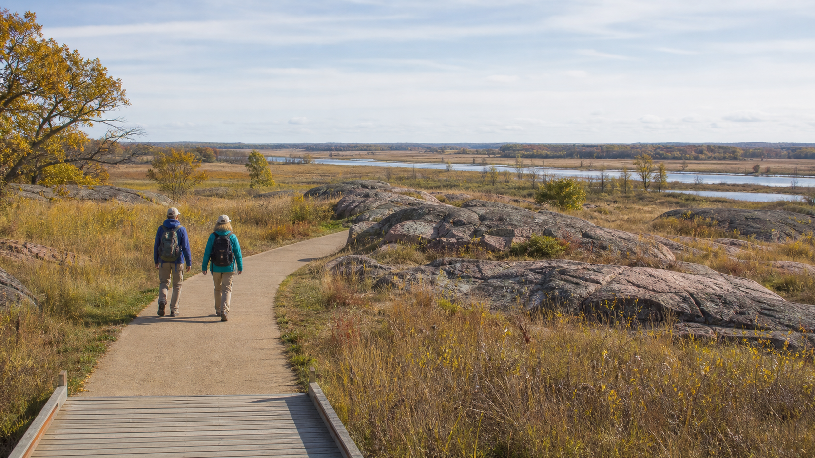
Fishing and clean-water practice
Big Stone and Artichoke are shallow prairie fisheries with current DNR management information. Regulations, access and aquatic-invasive-species notices can change, so confirm the water and season before fishing, then clean, drain and dispose before moving equipment.
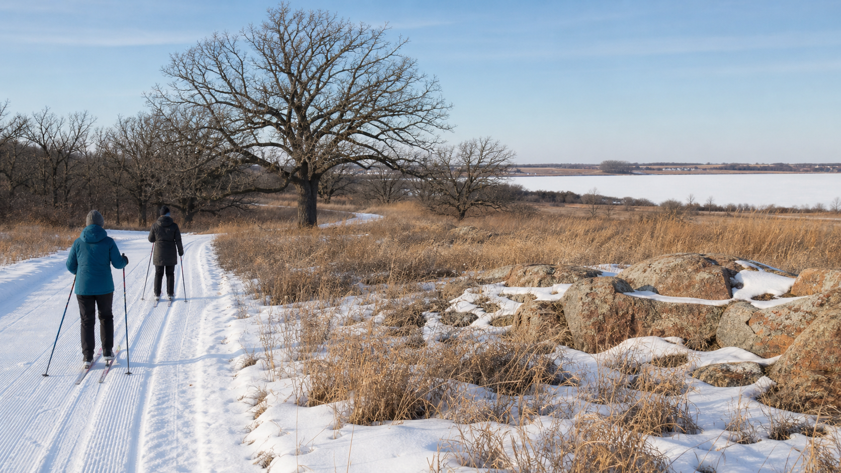
The county’s water story links the outlet of Big Stone Lake to the Minnesota River, glacially shaped valley walls, granite outcrops and tallgrass prairie. Use official park and refuge interpretation for cultural and natural history, and current calendars for verified programs.
Four-season planning