DNR lake ID 16062900
Sea Gull Lake
Sea Gull Lake is a named Cook County DNR basin with a public access recorded off the Gunflint Trail corridor.
Continue to the lake directory
Northeast Minnesota · North Shore to border lakes
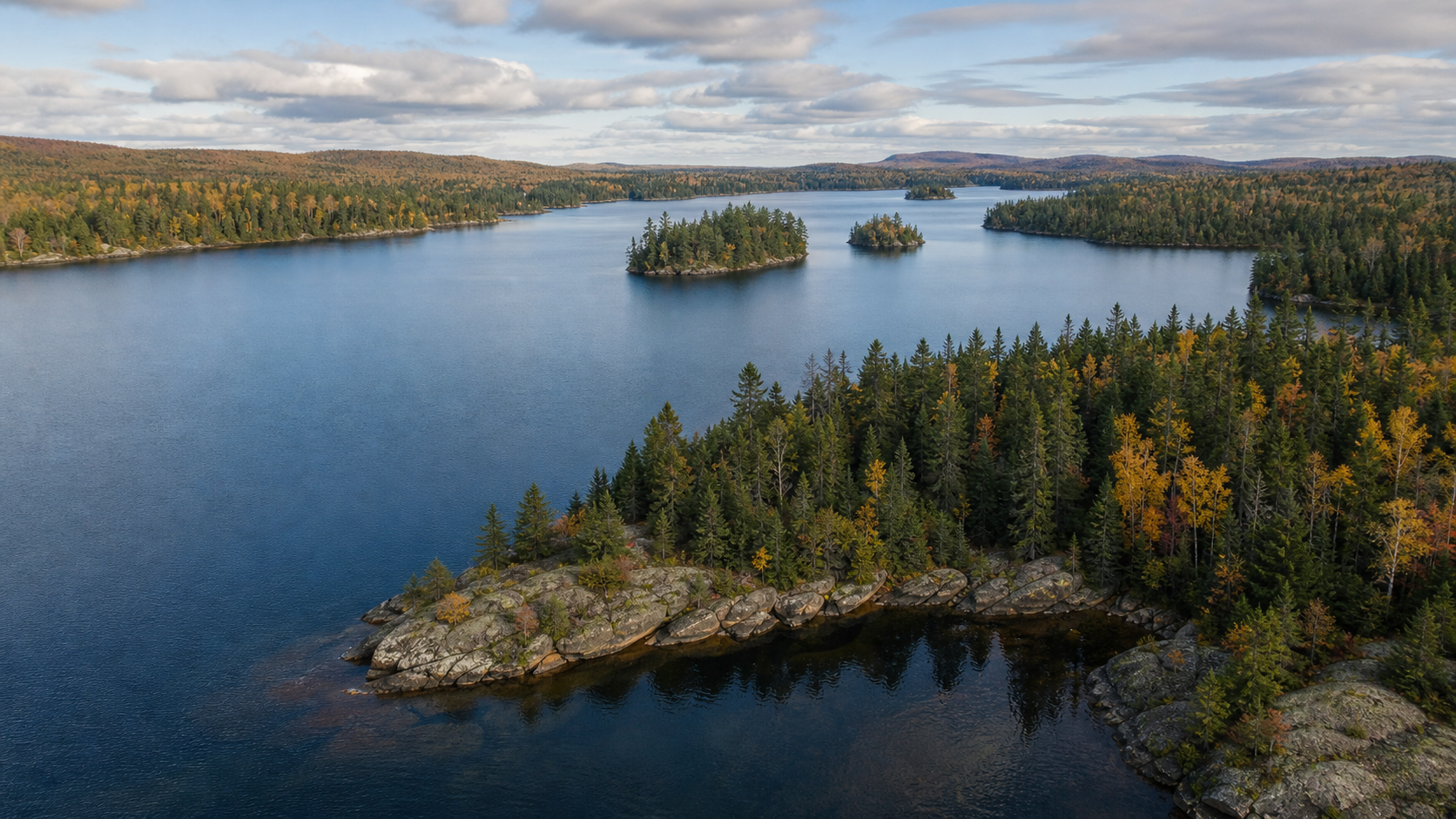
Cook County rises from Lake Superior at Grand Marais into a rock-and-water interior threaded by the Gunflint Trail. Here, a lake trip may mean a DNR access on Devil Track or Poplar, a border-water plan at Gunflint, or a permit-based wilderness route beyond Sea Gull—each with a different agency, map and set of conditions to confirm.
Accessible orientation
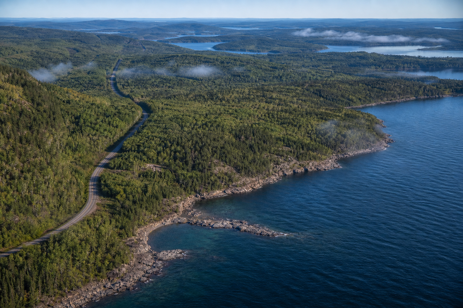
Grand Marais is the county seat on Lake Superior. Highway 61 follows the shore through Lutsen, Tofte and Schroeder; the Gunflint Trail runs inland from Grand Marais through Superior National Forest lake country. These corridors orient a trip, but official access and wilderness maps should make the final decision.
Canonical named-lake discovery
This versioned starter catalog contains four verified named DNR basins. It is not a countywide lake count. Unnamed records are excluded, and any future cross-county relationship will point to one canonical lake identity rather than duplicate a page.
DNR lake ID 16062900
Sea Gull Lake is a named Cook County DNR basin with a public access recorded off the Gunflint Trail corridor.
Continue to the lake directoryDNR lake ID 16035600
Gunflint Lake is a named DNR basin on the international border; border-water rules and seasonal closures require a current check.
Continue to the lake directoryDNR lake ID 16014300
Devil Track Lake is a named DNR basin north of Grand Marais with public-water access shown on the official eastern Cook County map.
Continue to the lake directoryDNR lake ID 16004800
Poplar Lake is a named DNR basin in the Gunflint Trail corridor with public-water access recorded by the DNR.
Continue to the lake directory
Verified recreation pathways
Access, reservations, permits, trail conditions, fire restrictions and event dates change. These official relationships are planning anchors, not promises of availability.
The Gunflint District provides developed and rustic campgrounds, lake accesses, trails and entry points. Boundary Waters Canoe Area Wilderness travel has its own permit and group rules; verify the current Forest Service plan before departure.
Check Forest Service recreation detailsThese DNR state parks connect the North Shore with river gorges, waterfalls, hiking and camping. Check the individual park page for current trails, permits, facilities and reservations.
Find current state park detailsCompleted paved segments include Schroeder–Lutsen and Cut Face Creek–Grand Marais. The route is not yet continuous, so use the current DNR segment map rather than infer a through ride.
Open the current trail map
Community, culture and current events
Grand Marais links the Lake Superior shore with the inland Gunflint Trail and serves as the Cook County seat. For programs and events, use the MinnesotaLakes events pathway and confirm dates with the presenting public agency or cultural organization; no recurring date is assumed here.
Cook County includes inland, Lake Superior and Canada–Minnesota border waters. Seasons, special regulations and closures can differ by water. Identify the basin first, then check current DNR regulations, closures, access and conditions.
Prepare for fishingFour-season planning