
Skip to content
Inland lakes, northern waterways and Lake Superior

Meet Northeast Minnesota through its water.

Follow a source-backed path from Mille Lacs and the St. Croix basin to Lake Superior, the Boundary Waters and the connected lakes of Voyageurs. Twelve county guides help turn this broad MinnesotaLakes.info discovery region into a named place and a useful trip.

Choose a county
Read the landscape

Great Lake, rocky canoe country and river headwaters.

Lake Superior’s Minnesota shore, the St. Louis River at the head of the Great Lakes, boreal lakes of Superior National Forest and waterways flowing toward Rainy Lake sit within this editorial region. Its southern counties also reach the St. Croix and upper Mississippi basins. County and watershed guides provide the precise context.

Sources: Minnesota DNR watershed map, MPCA watershed information and USDA Forest Service · official references reviewed July 27, 2026
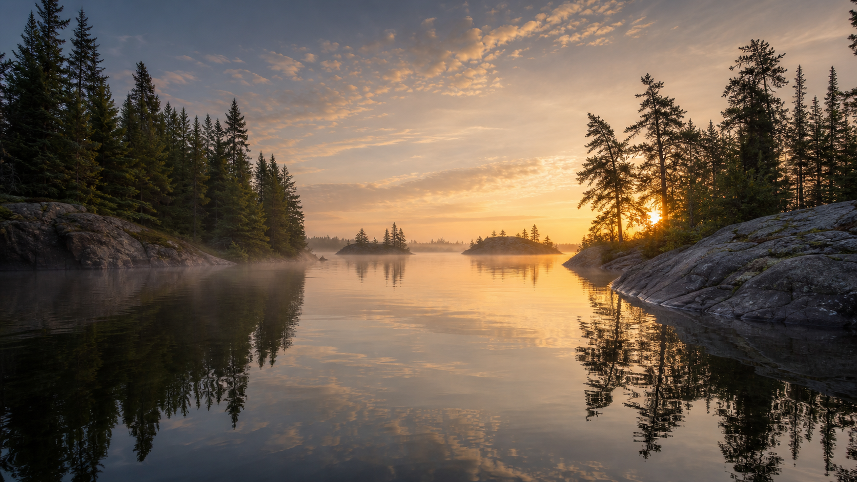
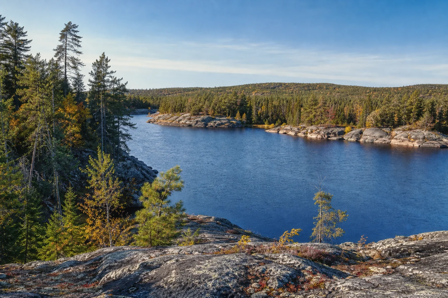
Illustrative Northeast Minnesota scene with rocky shore, conifers and open water.
Illustrative regional synthesis—not a map, named lake or current-condition record.
Twelve county doorways

Choose a county for the next layer of detail.

The list is the accessible alternative to the orientation diagram. Every county appears once and links to its canonical guide.

Northeast MinnesotaLakes.info discovery regionA simplified orientation diagram shows Lake Superior to the east, connected northern lakes, inland forest waters and southern river corridors. Use the county list for navigation.
Editorial orientation only; not a boundary, navigation or access map.
Membership: versioned MinnesotaLakes Core registry · 12 unique counties · reviewed July 27, 2026
Named-water starting points

Start with a Great Lake, canoe country or connected northern lakes.

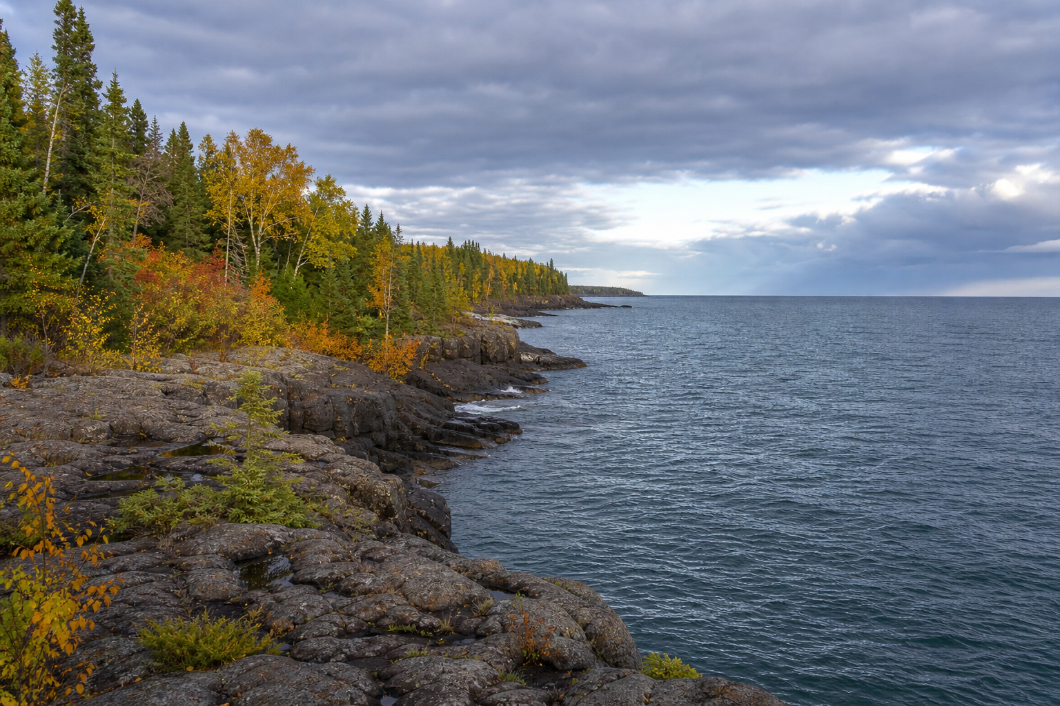
Illustrative autumn view along Northeast Minnesota’s rocky Lake Superior shore.

Lakes from Mille Lacs to the border

Use canonical records to explore Mille Lacs Lake, Lake Vermilion, Rainy Lake, Kabetogama Lake and Namakan Lake without creating duplicate identities for waters that cross county or national boundaries.

Explore named lakes
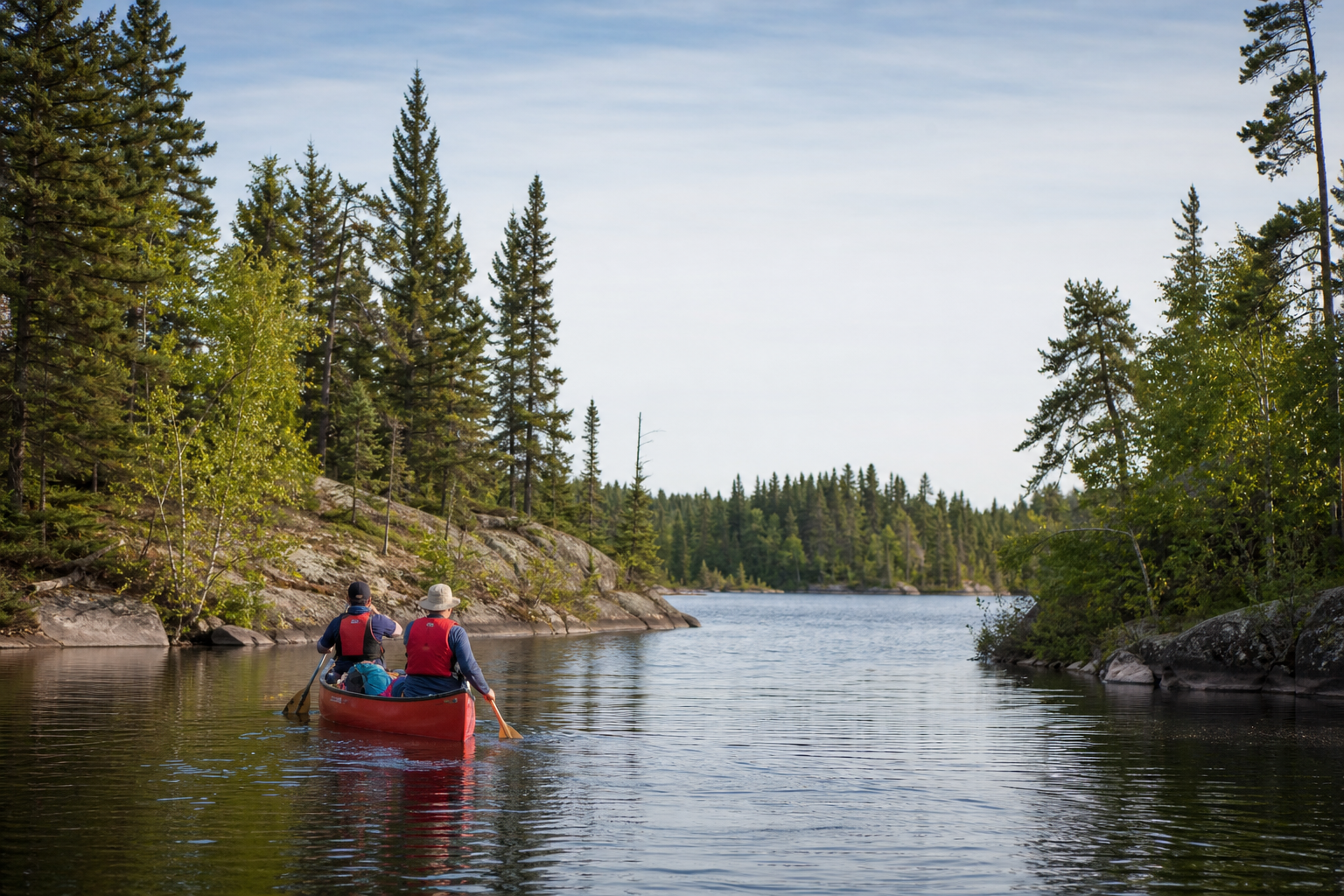
Illustrative paddlers wearing life jackets on a rocky boreal lake.

Rivers that connect the region

Continue through the St. Louis, Cloquet, Kettle, Snake, Rainy and St. Croix river pathways. Open the current agency source before paddling because water levels, hazards, access and closures can change.

Explore Minnesota rivers
Sources: Minnesota DNR LakeFinder, watershed maps and water trails; National Park Service lake navigation · official references reviewed July 27, 2026
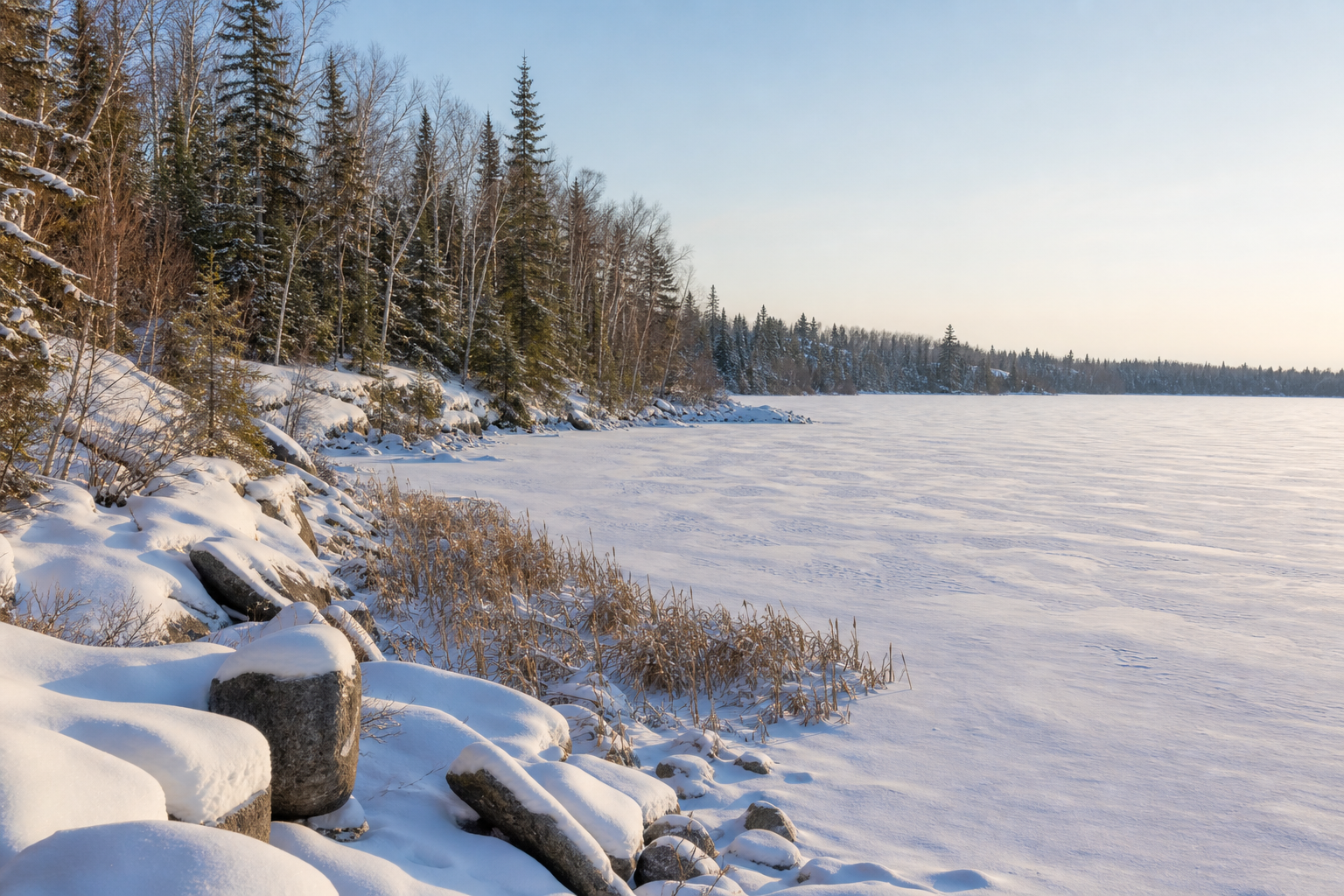
Illustrative snowy boreal shoreline beside a frozen Northeast Minnesota lake.
Seasonal illustration only; never evidence that ice is safe.
Build a responsible trip

Match the route to water, season and skill.

Summer can connect paddling, boating, fishing and shoreline communities; autumn changes trail and weather planning; winter requires current ice, snow, road and closure checks; spring brings cold water and rapidly changing conditions. Permits, regulations, fire restrictions and events can change, so confirm them with the responsible source.

Lake science · Watersheds and stewardship · Plan a lake trip