DNR lake ID 48000200
Mille Lacs
Mille Lacs is a cross-county DNR basin. This guide links to its single canonical identity rather than creating county duplicates.
Continue to the lake directory
Northeast Minnesota · great lake to Rum River
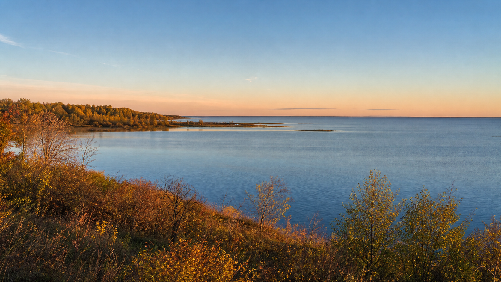
Mille Lacs County is organized by water: the broad south shore of Mille Lacs Lake, the protected lake-and-wetland landscape at Mille Lacs Kathio, and the Rum River flowing south through Onamia, Milaca and Princeton. A useful trip starts by identifying the exact lake or river segment, then matching it to the current access, managing agency and rules.
Accessible orientation
Onamia and the southwest shore connect Mille Lacs Lake with Mille Lacs Kathio State Park. The Rum River begins at the lake and runs south through the county toward Milaca and Princeton. Isle and Wahkon orient the southeast shore. Use the official county access map and river-segment map for the final route.
Canonical named-lake discovery
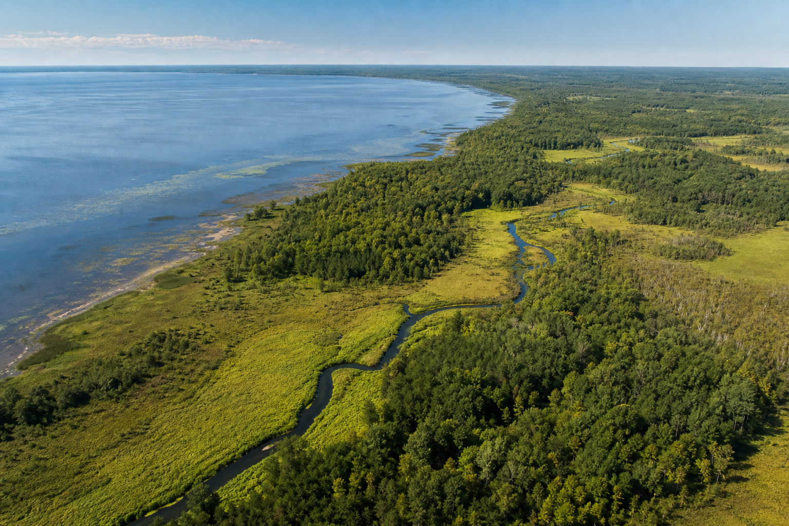
This versioned starter catalog contains four verified named DNR basins, not a countywide count. Unnamed records are excluded. Mille Lacs keeps one canonical identity even though the lake intersects multiple counties.
DNR lake ID 48000200
Mille Lacs is a cross-county DNR basin. This guide links to its single canonical identity rather than creating county duplicates.
Continue to the lake directoryDNR lake ID 48000900
Onamia Lake is a named Mille Lacs County DNR basin with a concrete public access on the official county access map.
Continue to the lake directoryDNR lake ID 48001200
Shakopee Lake is a named DNR basin within Mille Lacs Kathio State Park; the official park map shows its relationship to the Rum River.
Continue to the lake directoryDNR lake ID 48001400
Ogechie Lake is a named DNR basin within Mille Lacs Kathio State Park, near the park’s interpretive and campground network.
Continue to the lake directory
Verified places and pathways
Access, reservations, trail conditions, event dates and regulations change. These official relationships are planning anchors, not promises of availability.
The DNR park map places Ogechie, Shakopee, Warren and Black Bass lakes beside campgrounds, trails and the Rum River headwaters. Confirm current facilities, permits and seasonal closures with the park.
Check the official park pageThe DNR divides the Rum River into mapped segments. The upper segment begins at Mille Lacs Lake and includes shallow, rocky water, structures and portages that require current map review.
Review river segments and alertsThe Minnesota Historical Society site in Onamia presents the story, culture and living traditions of the Mille Lacs Band of Ojibwe through exhibits, objects, demonstrations and tours. Verify hours and programs before visiting.
Plan with the museum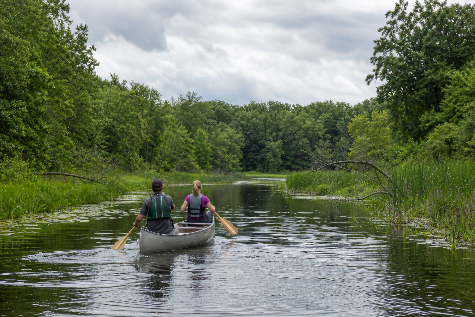
Fishing and lake care
Mille Lacs Lake has special regulations that differ from statewide rules and can change during the year. Identify the water, read the current DNR regulation page, confirm access, and complete aquatic-invasive-species steps before moving equipment.
Use Onamia, Milaca, Princeton, Isle and Wahkon as verified orientation points. For programs and events, start with the MinnesotaLakes pathway and confirm the date, venue and organizer at the primary source.
Four-season planning