DNR lake ID 69037800
Vermilion
Lake Vermilion is a named DNR basin between Tower, the Bois Forte community and Cook, with many mapped public accesses.
Continue to the lake directory
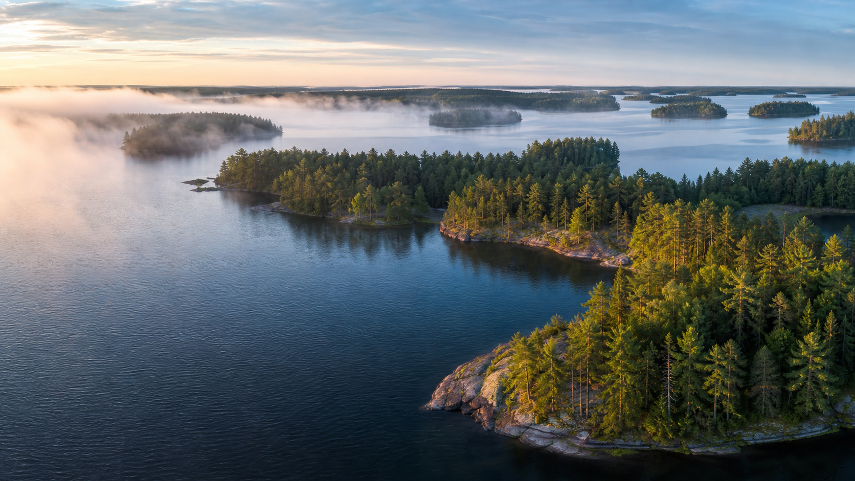
Northeast Minnesota · inland seas to border waters
St. Louis County follows water from Lake Superior and the St. Louis River at Duluth through Iron Range lakes to Vermilion, Burntside and the Voyageurs gateways. Plan by corridor, then confirm the lake, manager and current conditions.
Accessible orientation
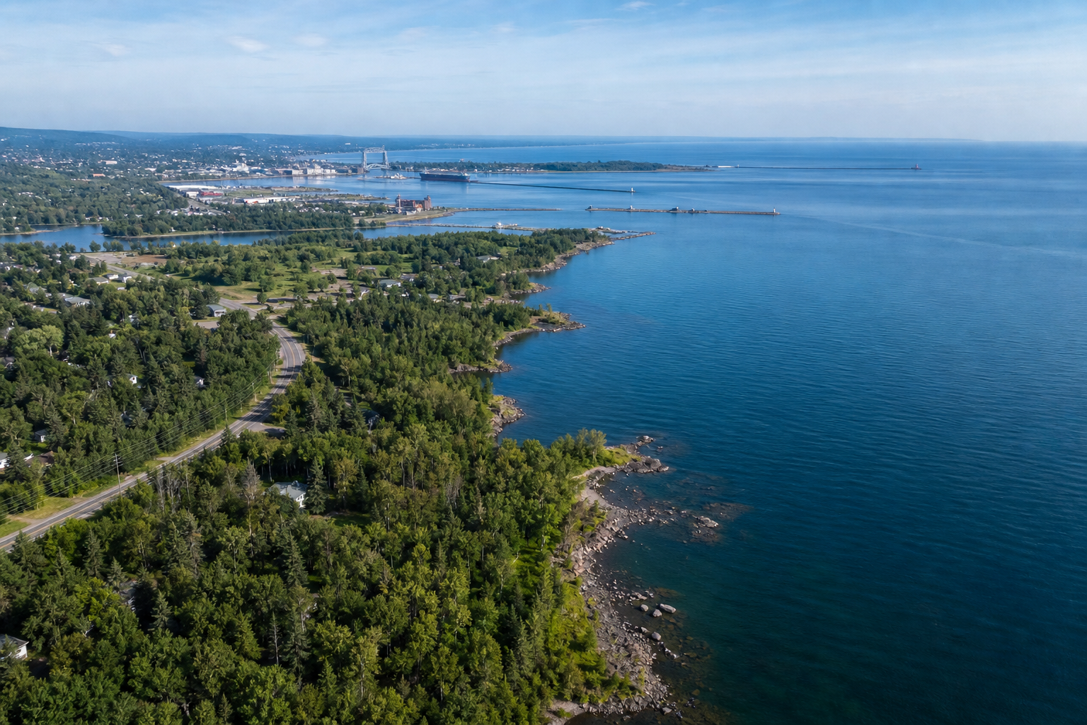
Duluth anchors the south; Iron Range communities orient the center; Tower, Ely, Cook, Orr, Kabetogama and Crane Lake lead toward northern lake and wilderness gateways. DNR provides separate south, central and north access maps.
Canonical named-lake discovery
This versioned starter catalog contains four verified named DNR basins, not a countywide count. Unnamed records are excluded. Cross-county Kabetogama keeps one canonical public identity.
DNR lake ID 69037800
Lake Vermilion is a named DNR basin between Tower, the Bois Forte community and Cook, with many mapped public accesses.
Continue to the lake directoryDNR lake ID 69011800
Burntside Lake is a named DNR basin west of Ely. Official sources show multiple public accesses.
Continue to the lake directoryDNR lake ID 69084100
Pelican Lake is a named DNR basin directly west of Orr, verified by DNR sources.
Continue to the lake directoryDNR lake ID 69084500
Kabetogama is a cross-county lake within Voyageurs National Park and keeps one canonical identity.
Continue to the lake directory
Verified places and pathways
Access, tours, permits, reservations, fire restrictions and trail conditions change. Confirm details with the managing agency.
The DNR park connects Lake Vermilion shoreline, Vermilion Ridge campground and the historic Soudan mine. Check current tours, camping and alerts.
Check the official park pageDNR identifies Woodenfrog and Ash River campgrounds as gateways to Kabetogama and Namakan lakes. Confirm fees, fire restrictions and park guidance.
Check the official forest pageDNR maps 42 miles from Lake Vermilion north to Crane Lake. Review rapids, portages, levels and segment guidance before paddling.
Review the official water trail
Fishing and clean-water practice
Rules and invasive-species listings are water-specific and can change. Use the DNR lake ID, check current rules and clean, drain and dispose before moving equipment.
Duluth, Hibbing, Virginia, Tower, Ely, Cook and Orr are verified orientation points, not a complete town list. Use primary sources for programs and MinnesotaLakes for verified events.
Four-season planning