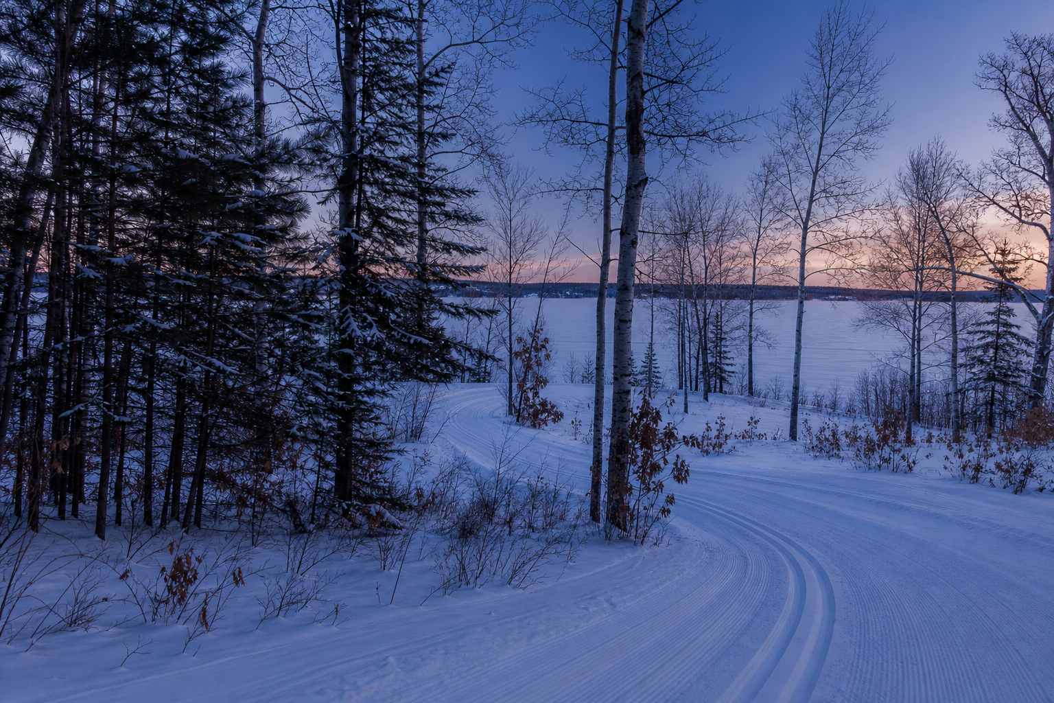
DNR lake ID 03019500
Height of Land
Height of Land Lake is a named DNR basin in northeastern Becker County.
Continue to the lake directory
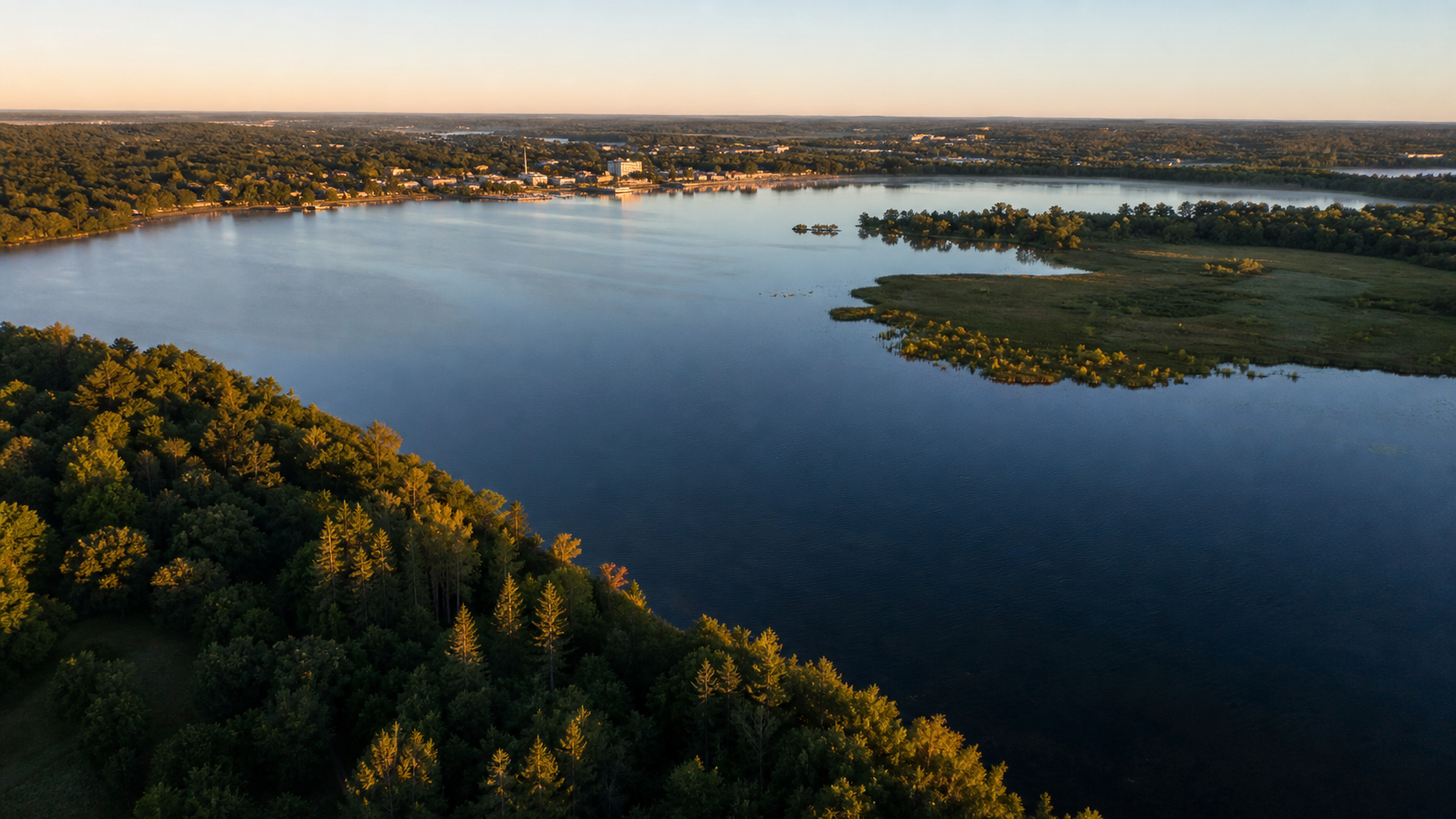
Northwest Minnesota · Detroit Lakes and glacial lake country
Becker County changes character as water and land meet: Detroit Lakes provides an urban shoreline base, the Cormorant cluster spreads west through rolling moraine, and Tamarac National Wildlife Refuge protects a quieter mosaic of lakes, wetlands and forest to the northeast. Start with a lake identity, then match it to an official access, trail or public-land plan.
Accessible orientation
Detroit Lakes anchors the central county. The Cormorant lake cluster lies west; Tamarac National Wildlife Refuge and Height of Land Lake lie northeast. Official DNR public-water-access maps and LakeFinder records are the dependable next step because launches, roads and conditions change.
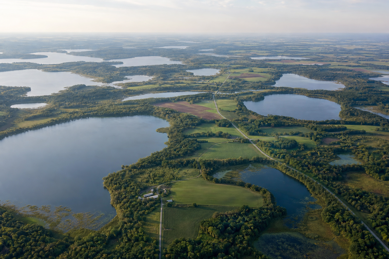
Canonical named-lake discovery
These featured records come from the versioned Becker catalog. They are not a total county count. Unnamed records are excluded, and every basin keeps its DNR ID so similarly named and cross-county waters do not become duplicate pages.
DNR lake ID 03019500
Height of Land Lake is a named DNR basin in northeastern Becker County.
Continue to the lake directoryDNR lake ID 03057600
Big Cormorant is a named DNR basin in the county’s western Cormorant lake cluster.
Continue to the lake directoryDNR lake ID 03038100
Detroit Lake is the named DNR basin adjoining Detroit Lakes and the city beach and park system.
Continue to the lake directoryDNR lake ID 03047500
Lake Melissa is a separate named DNR basin south of Detroit Lakes, beside Dunton Locks County Park.
Continue to the lake directory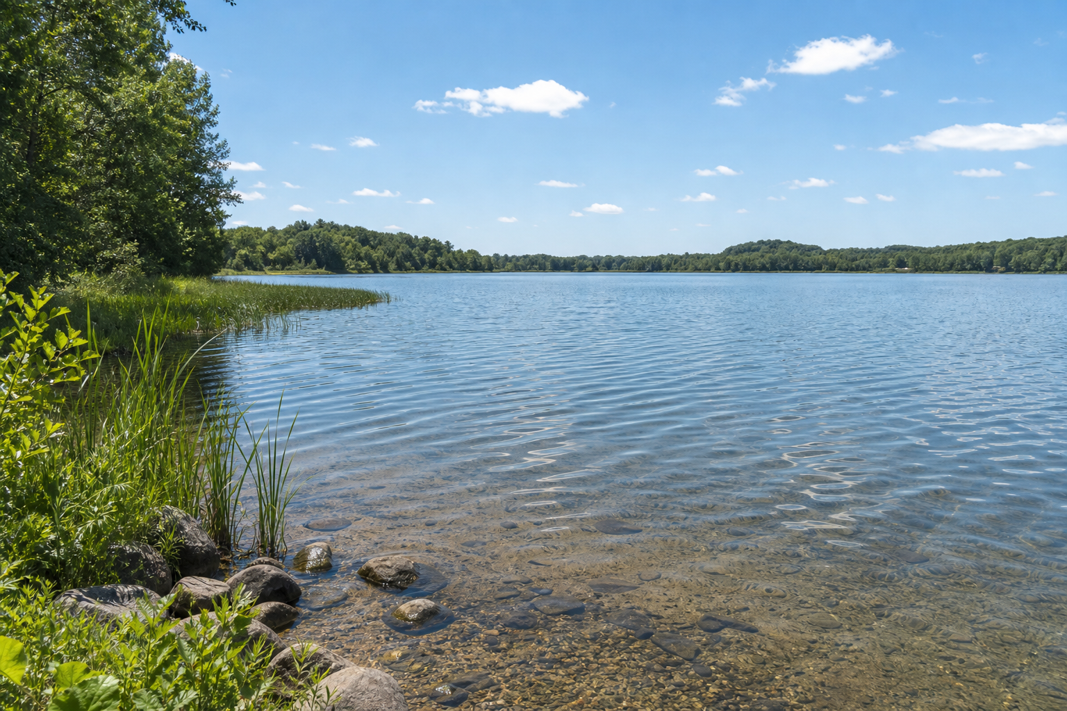
Fishing, parks and trails
Access status, seasons, reservations and event dates change. Confirm current information with the responsible agency before travel.
The U.S. Fish and Wildlife Service manages Tamarac’s lakes, wetlands and forest for wildlife, with designated visitor, trail, drive and seasonal recreation information.
Check official detailsBecker County identifies Dunton Locks County Park between Lakes Sallie and Melissa, with trails, fishing access and seasonal facilities.
Check the county parkThe DNR’s western Heartland State Trail segment runs between Detroit Lakes and Frazee. Check the official page for surface, use and closure information.
Check the state trail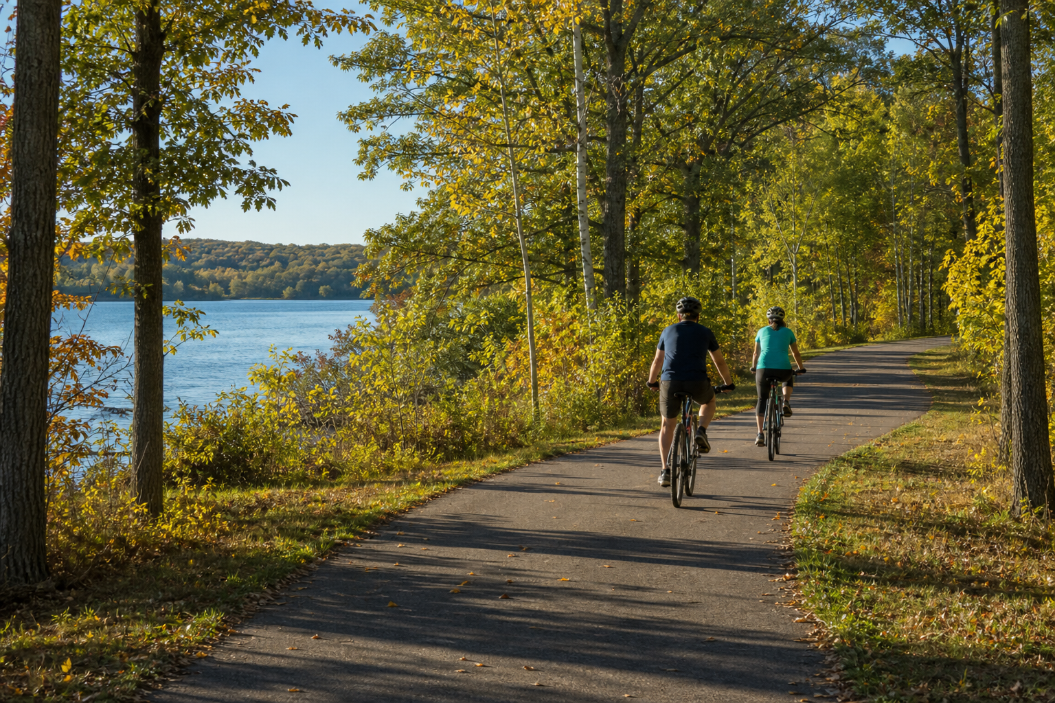
Use LakeFinder for the exact basin, then check current fishing regulations, public access and Minnesota fish-consumption guidance. A lake name alone is not enough when nearby basins share related names.
Culture and seasons
Detroit Lakes is the county seat and a practical hub for local parks, trails and civic event calendars. Treat each event listing as date-sensitive: use the MinnesotaLakes events pathway and organizer page before making plans.