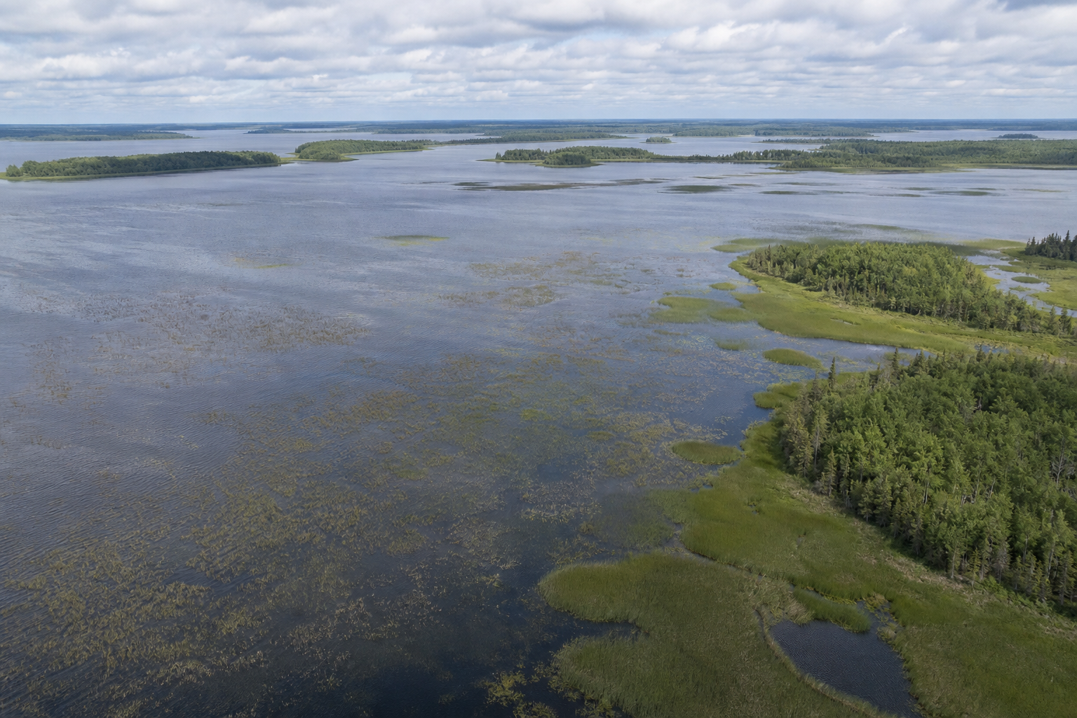
Large named lakes
Open the source-dated collection for Red Lake, Leech Lake, Lake Winnibigoshish, Cass Lake and Otter Tail Lake, then continue to a county or canonical lake record.
Explore large named lakes
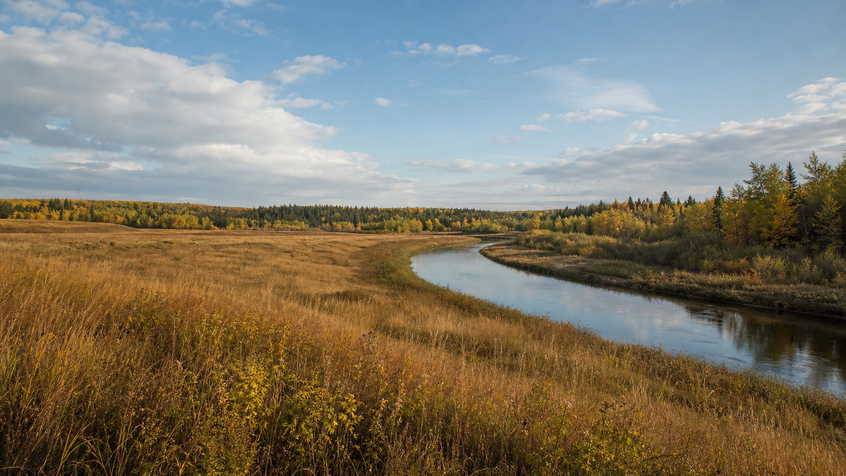
Move from the Red River of the North and open prairie through glacial lake country to forest, peatland and the broad waters near Minnesota’s northern border. This MinnesotaLakes.info discovery region connects 30 county guides without claiming an official state administrative boundary.
Choose a countyThe Red River basin drains north toward Lake Winnipeg. Farther east, lake-rich glacial terrain includes the Mississippi headwaters, while northern lowlands hold extensive wetlands. Use a county guide to narrow this broad editorial region to a named place and an authoritative record.
Sources: Minnesota DNR Ecological Classification System and watershed maps · official references reviewed July 27, 2026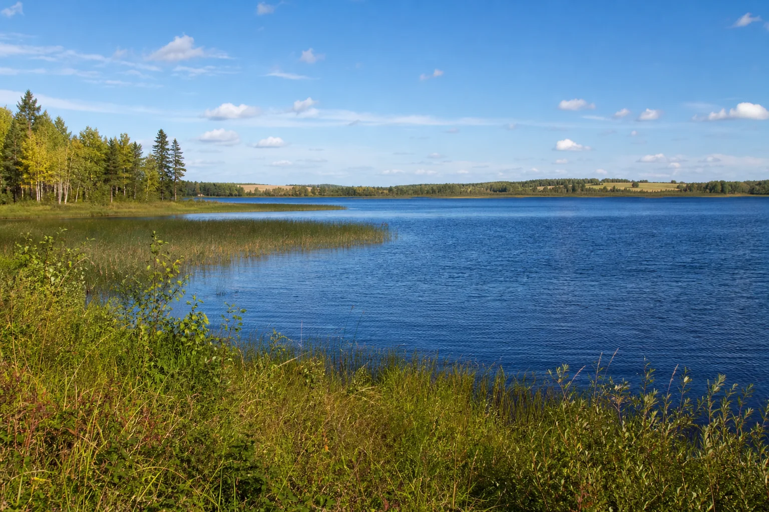
The list is the accessible alternative to the orientation diagram. Every county appears once and links to its canonical guide.
Open the source-dated collection for Red Lake, Leech Lake, Lake Winnibigoshish, Cass Lake and Otter Tail Lake, then continue to a county or canonical lake record.
Explore large named lakes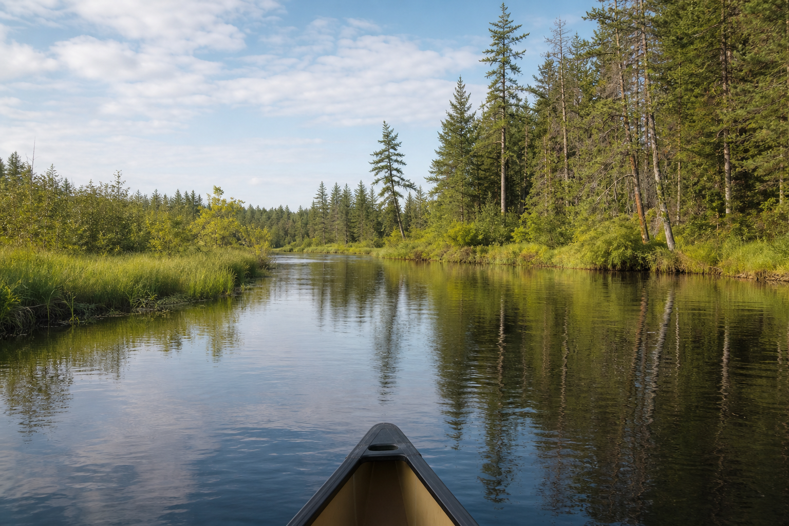
Trace the Red River of the North, Mississippi River, Rainy River and Minnesota River through official watershed and water-trail context. Confirm flow, access and advisories before travel.
Explore Minnesota rivers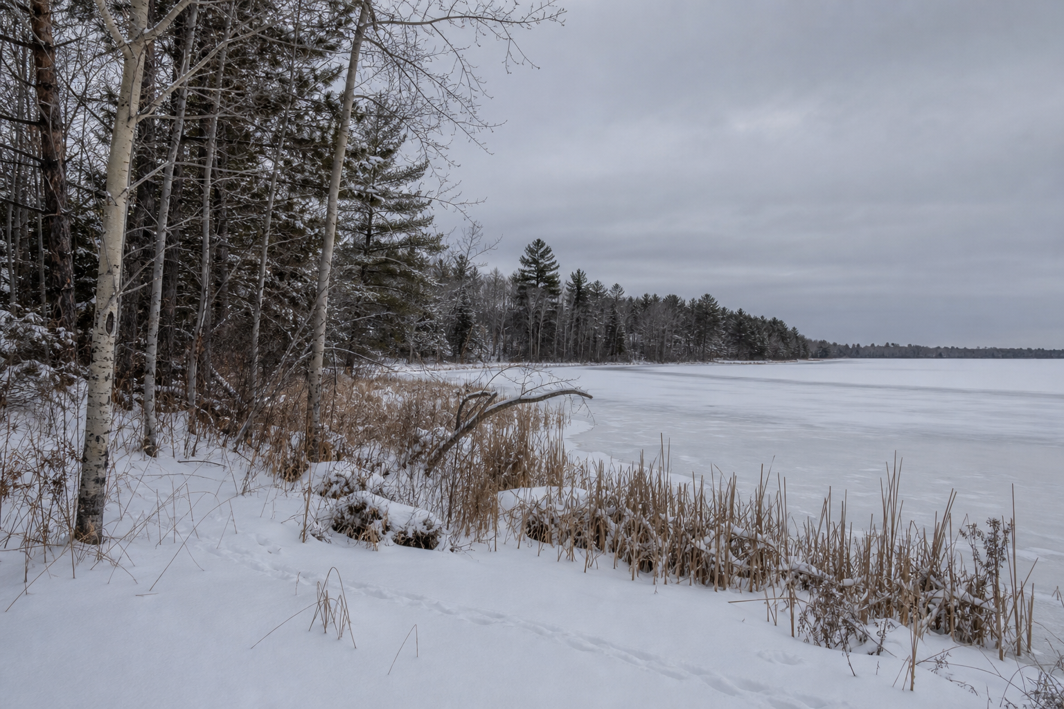
Spring and fall invite migration and wetland learning; summer supports paddling, boating, hiking and community stops; winter calls for current ice and weather checks. Regulations, events, launches and trail conditions can change—open the responsible current source before leaving.
Lake science · Watersheds and stewardship · Plan a lake trip