DNR lake ID 04013000
Bemidji
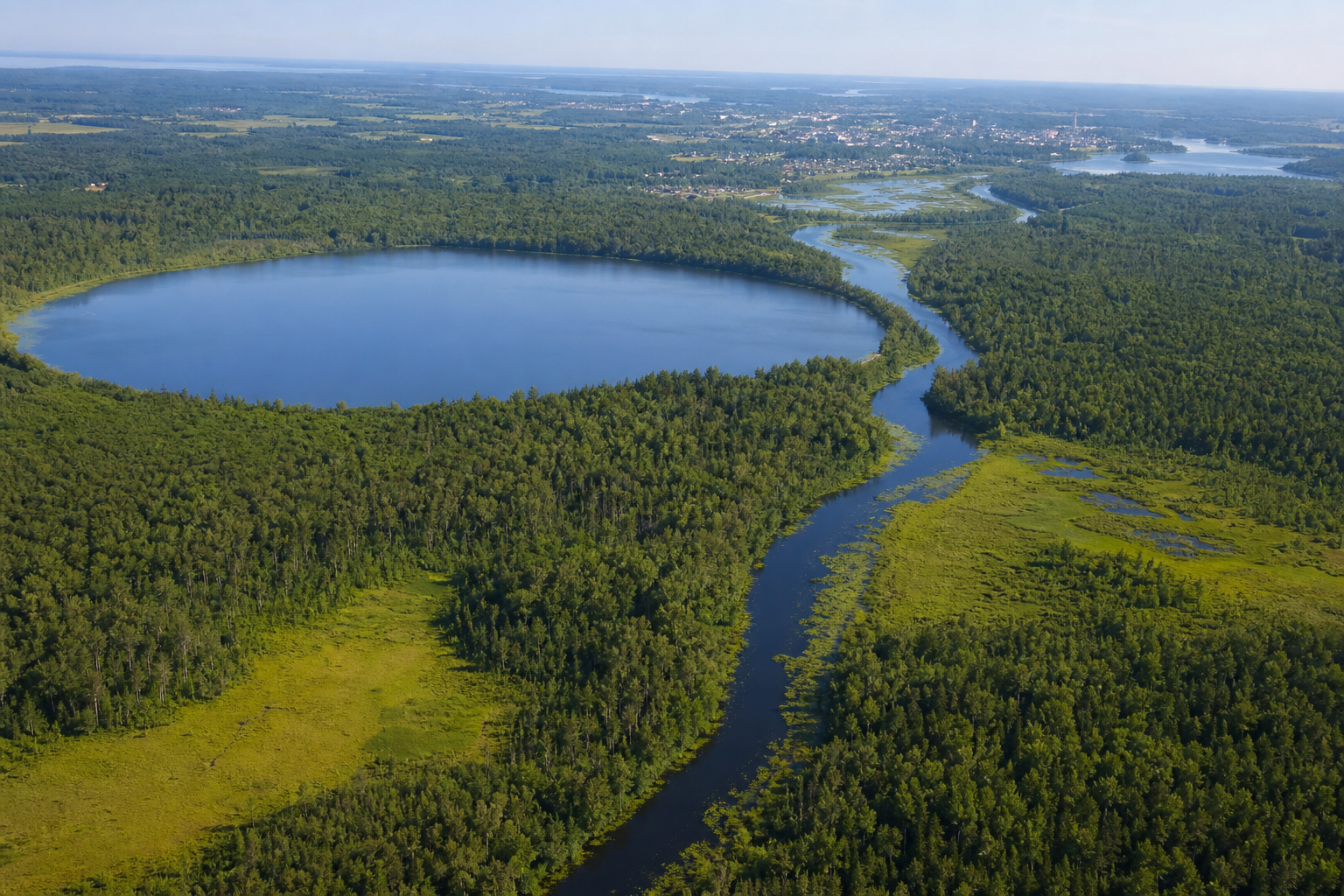
The Mississippi River enters and leaves this lake beside Bemidji; its state park provides an official shoreline, camping and trail base.
Continue to the lake directory
Northwest Minnesota · upper Mississippi lake country
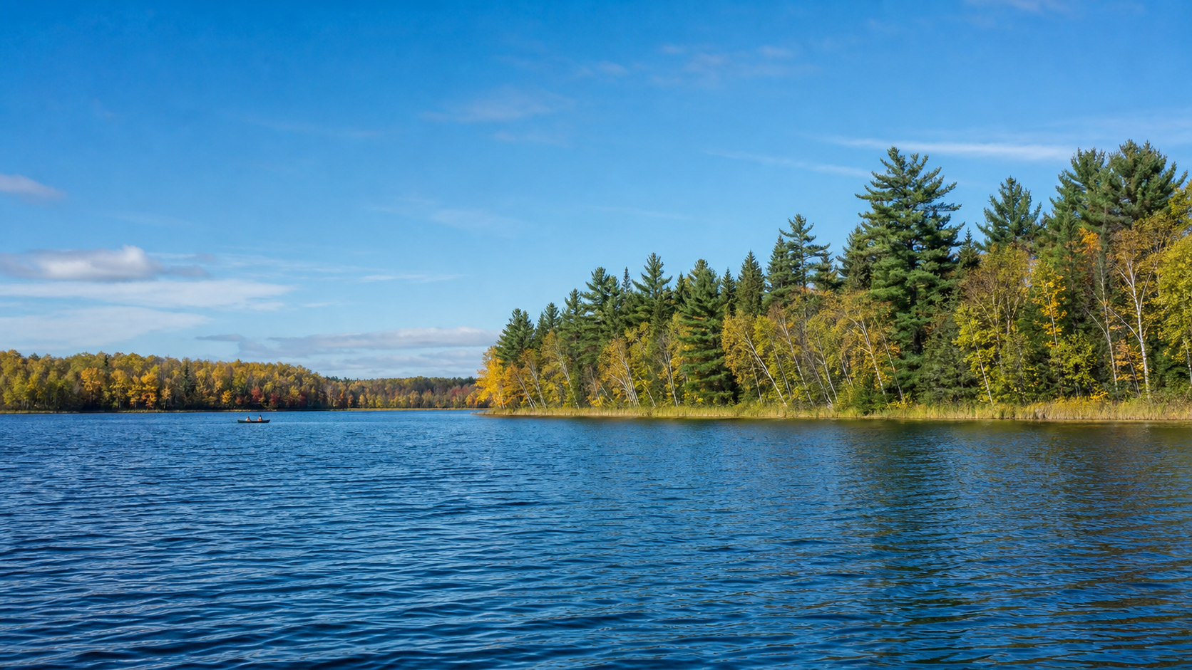
Lake Bemidji is the county’s clearest starting point: the Mississippi River crosses the lake, Bemidji meets its south and west shore, and a state park anchors the north shore. From there, follow named water north toward Blackduck or outward into the county’s forest-and-wetland mosaic.
Accessible orientation
Begin around Bemidji and Lake Bemidji for city parks, the state park, the Mississippi River and paved trail connections. North of Bemidji, Turtle River and Blackduck lead toward smaller named lakes, state forests and more dispersed access points. The county continues much farther north, so distance, road surface and seasonal conditions belong in every plan.
Canonical named-lake discovery
This versioned starter catalog contains four verified named DNR basins. It is not a claim that Beltrami County has only four lakes. Unnamed records are excluded, and future cross-county relationships will point to one canonical lake page rather than create duplicates.
DNR lake ID 04013000
The Mississippi River enters and leaves this lake beside Bemidji; its state park provides an official shoreline, camping and trail base.
Continue to the lake directoryDNR lake ID 04014000
Lake Irving sits immediately downstream of Lake Bemidji on the Mississippi River corridor.
Continue to the lake directoryDNR lake ID 04015200
Movil Lake is a named DNR basin north of Bemidji with a recorded public water access.
Continue to the lake directoryDNR lake ID 04015900
Turtle Lake is a separate named DNR basin in Beltrami County.
Continue to the lake directory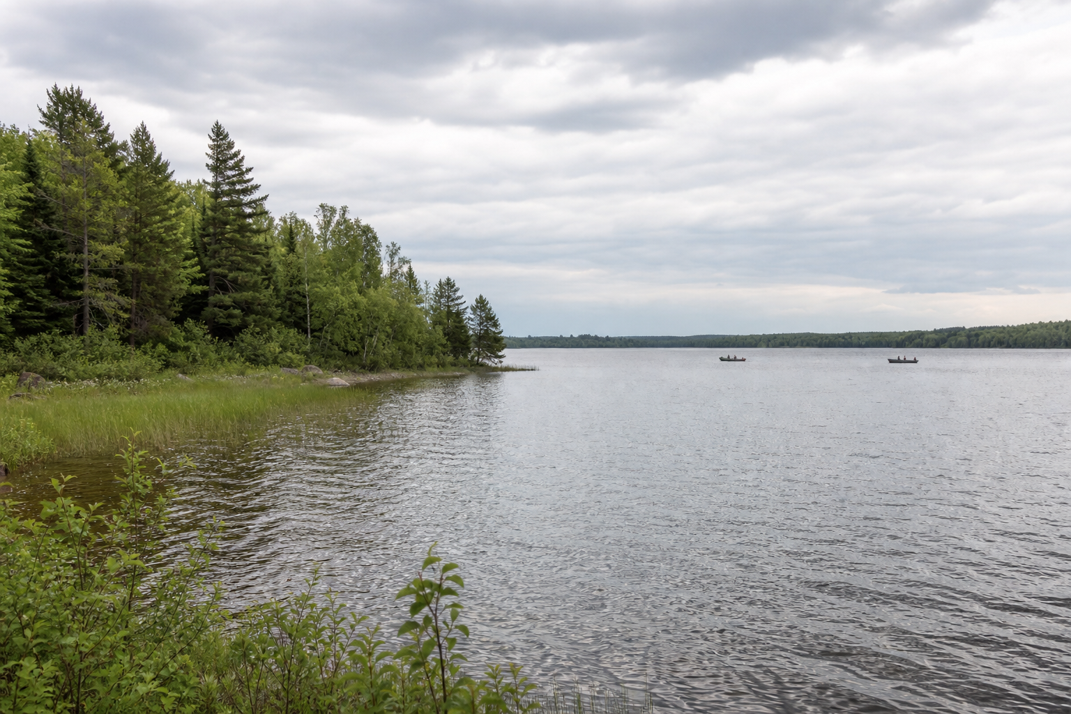
A northern lake base
The DNR county access map records east and west public accesses on Blackduck Lake. Nearby Blackduck and Buena Vista state forests add a patchwork of state, federal, county and private land, where boundaries and permitted uses must be checked before travel.
Verified recreation pathways
Facilities, reservations, closures and event dates change. Use these verified relationships as starting points, then confirm the responsible agency’s current page.
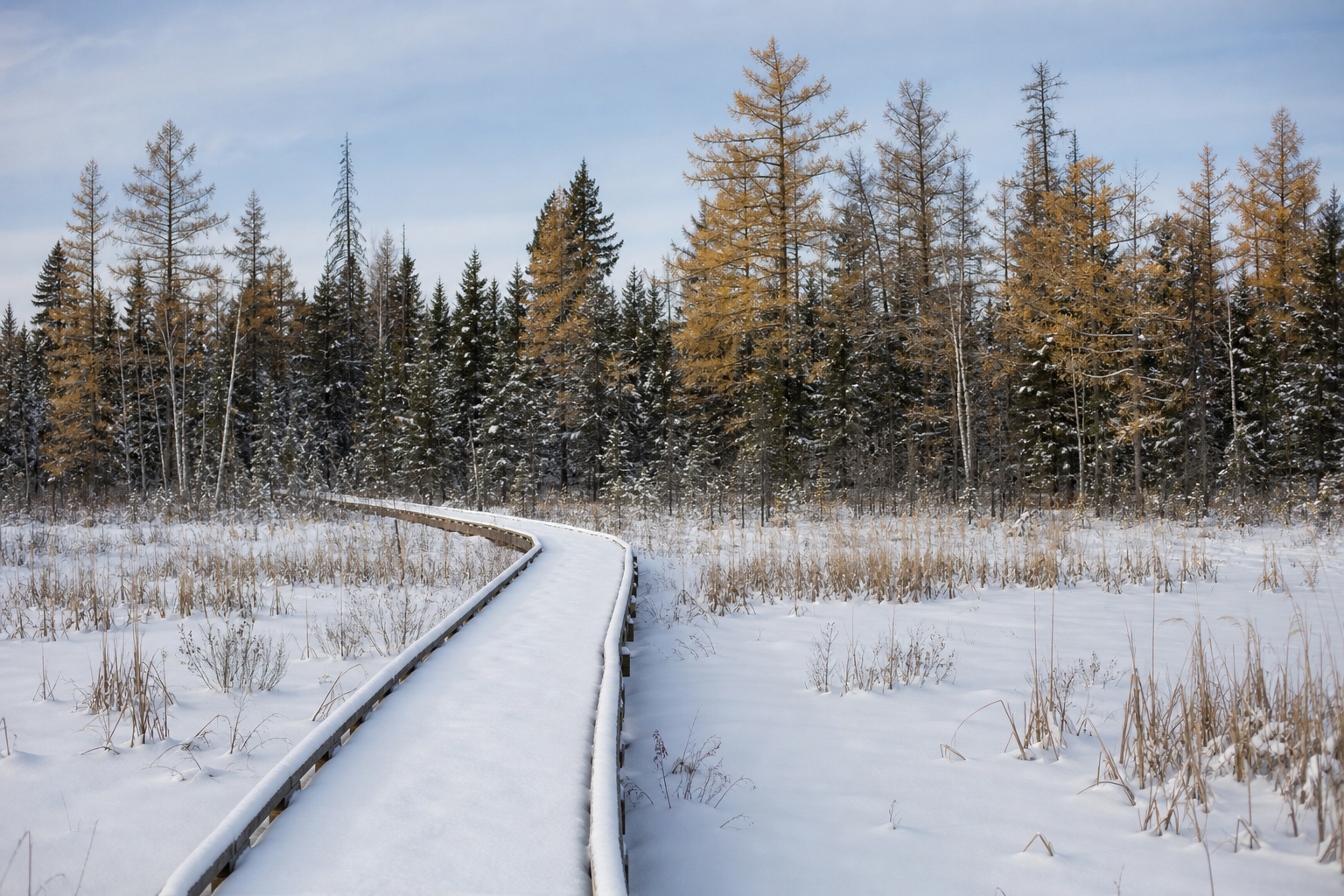
The park provides Lake Bemidji access, camping, a fishing pier, trails and the Bog Walk. It is also the northern trailhead of the Paul Bunyan State Trail.
Open official detailsThe city manages parks and trails around the Lake Bemidji and Lake Irving shoreline, including Diamond Point and South Shore park facilities.
Check city parks and trailsThe official state water trail crosses Lake Bemidji and documents accesses, portages and hazards. Wind and open-water conditions can change quickly.
Explore Minnesota rivers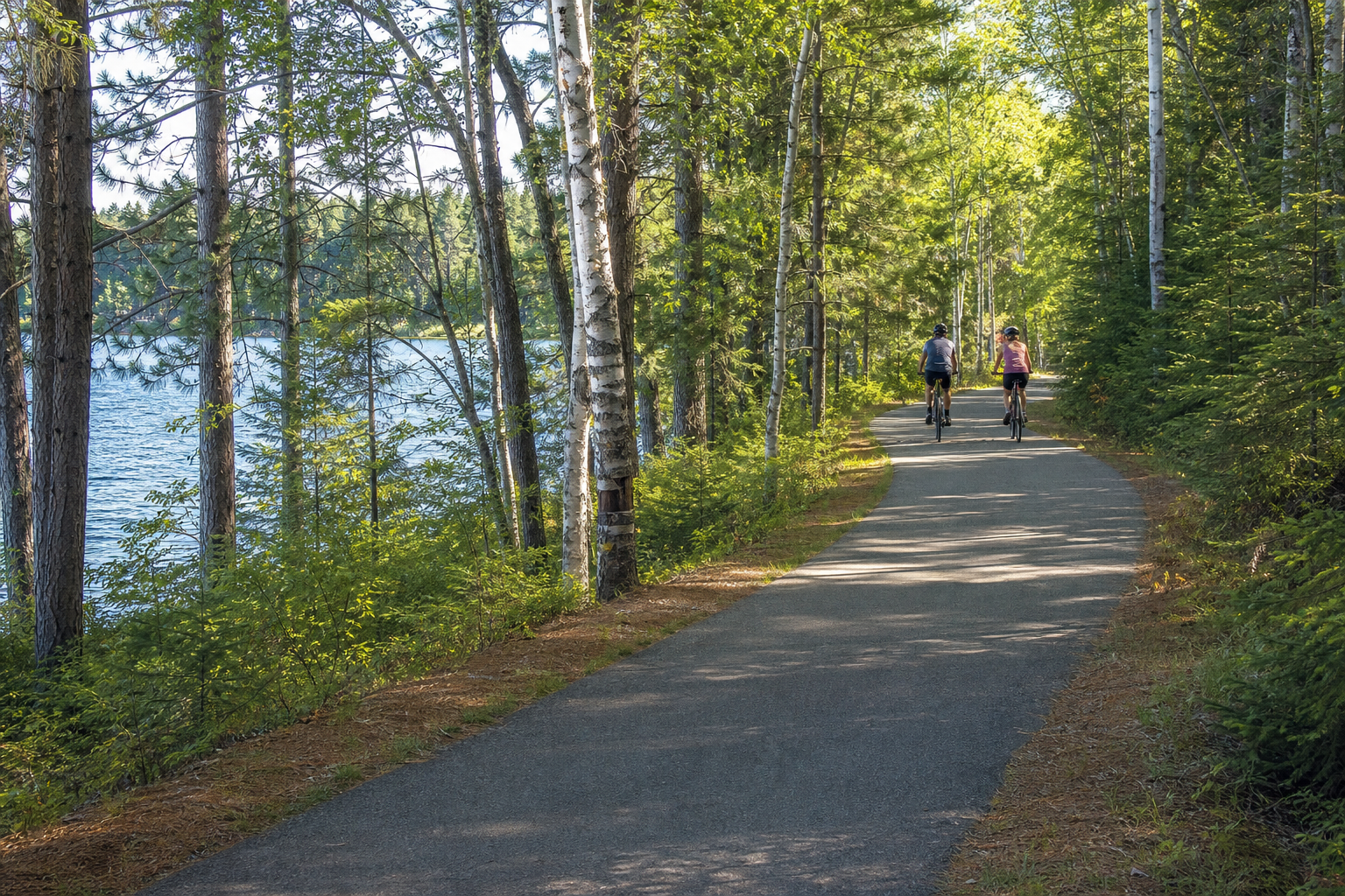
Four-season planning