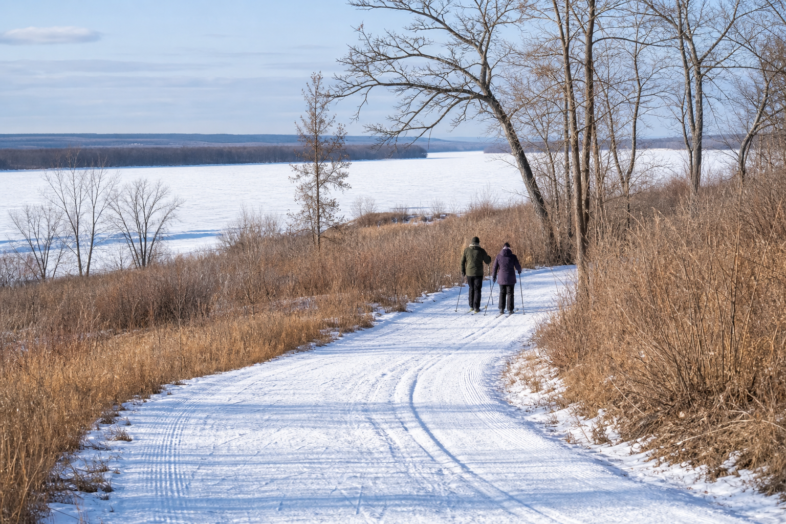
DNR lake ID 05001300
Little Rock Lake
Little Rock Lake is a named DNR basin with multiple officially mapped public accesses.
Continue to the lake directory
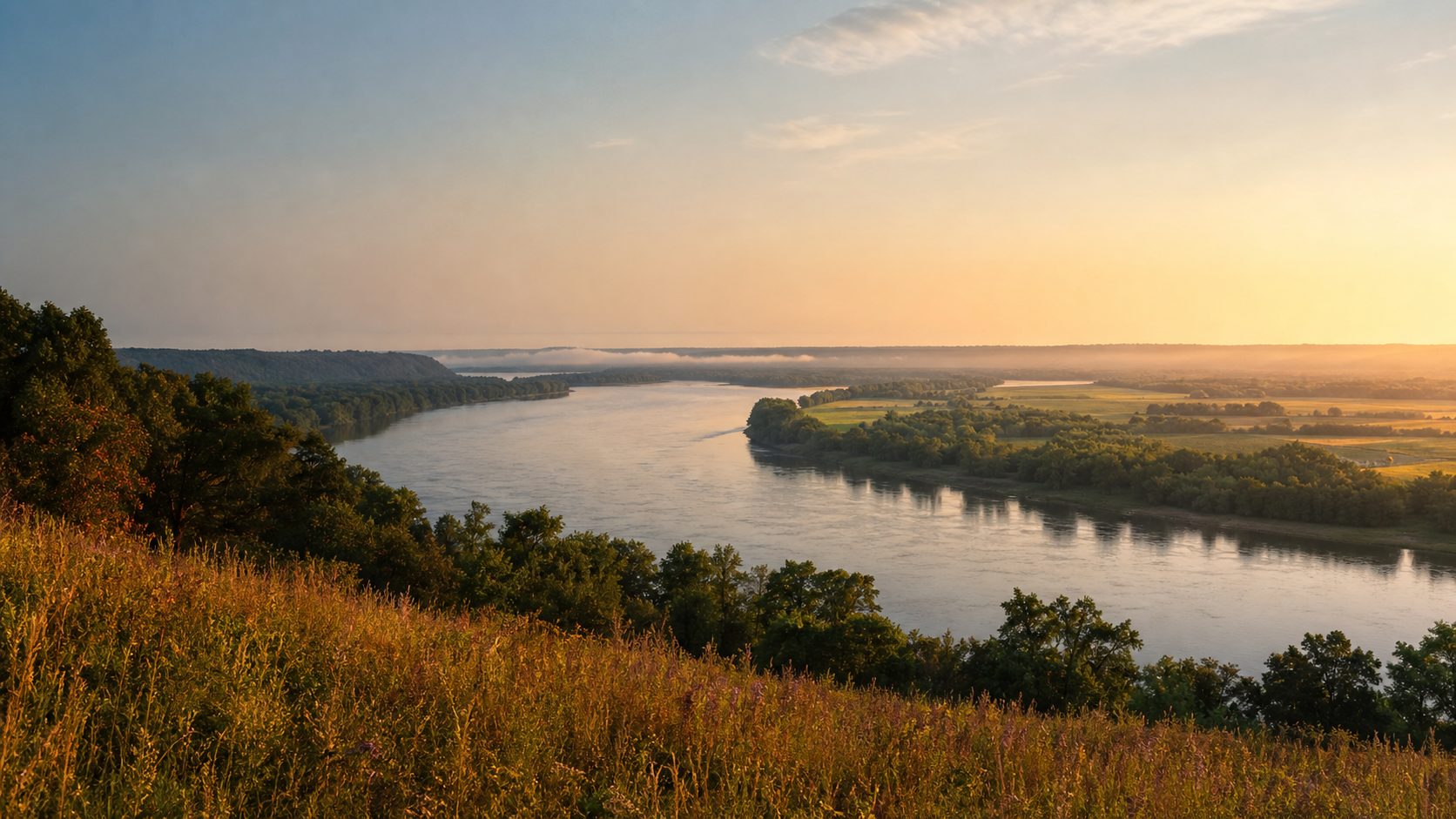
Northwest Minnesota · Mississippi River and Little Rock Lake
Benton County is a compact meeting place of river, lake and working landscape. The Mississippi defines its western edge beside Sauk Rapids and Rice; Little Rock Lake gathers much of the county’s lake recreation farther north; Foley anchors the inland county seat. Begin with the waterbody—not a generic destination label—then confirm the official access, park and current conditions that fit your day.
Accessible orientation
Use the Mississippi River corridor for Sauk Rapids, Rice and water-trail planning. Move east to Little Rock Lake for Benton Beach and lake access, then farther inland toward Foley and the smaller named basins. The DNR access map and Public Waters Inventory remain the navigation authorities.
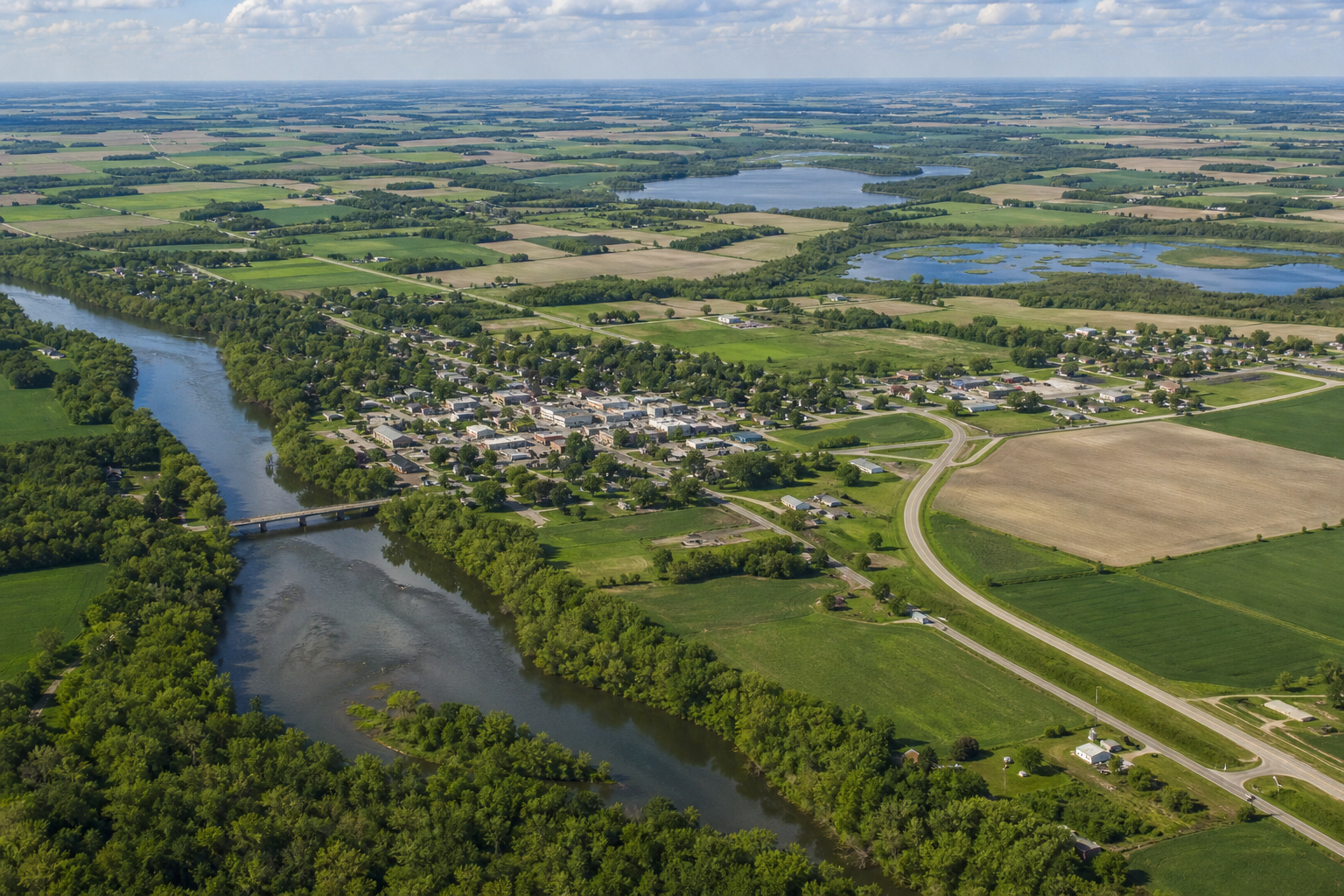
Canonical named-lake discovery
These four records come from the official Benton Public Waters Inventory and the versioned county catalog. Unnamed records are excluded. DNR IDs prevent same-name waters from becoming duplicate pages; this featured set is not presented as a total county lake count.
DNR lake ID 05001300
Little Rock Lake is a named DNR basin with multiple officially mapped public accesses.
Continue to the lake directoryDNR lake ID 05000700
Mayhew Lake has a county park on its southern shore with an official boat launch and fishing dock.
Continue to the lake directoryDNR lake ID 05000400
Donovan Lake is a separate named public-water basin in Minden Township.
Continue to the lake directoryDNR lake ID 05000900
Pularskis Lake is a separate named public-water basin in Graham Township.
Continue to the lake directory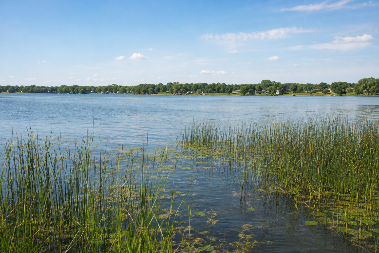
Fishing, camping and river travel
Access status, campground reservations, water levels, fishing rules and trail conditions change. Confirm them with the responsible agency before travel.
Benton County places this park and campground on the north end of Little Rock Lake, with a boat launch, beach-area recreation and reservable facilities.
Check county park detailsSouth of Rice, this county park protects undeveloped Mississippi River frontage, native prairie and a network of aggregate and natural trails.
Check the regional parkThe Mississippi through Benton is part of Minnesota’s state water-trail system. Use the DNR map for accesses, dams, hazards, campsites and current gauge context.
Open the official water-trail map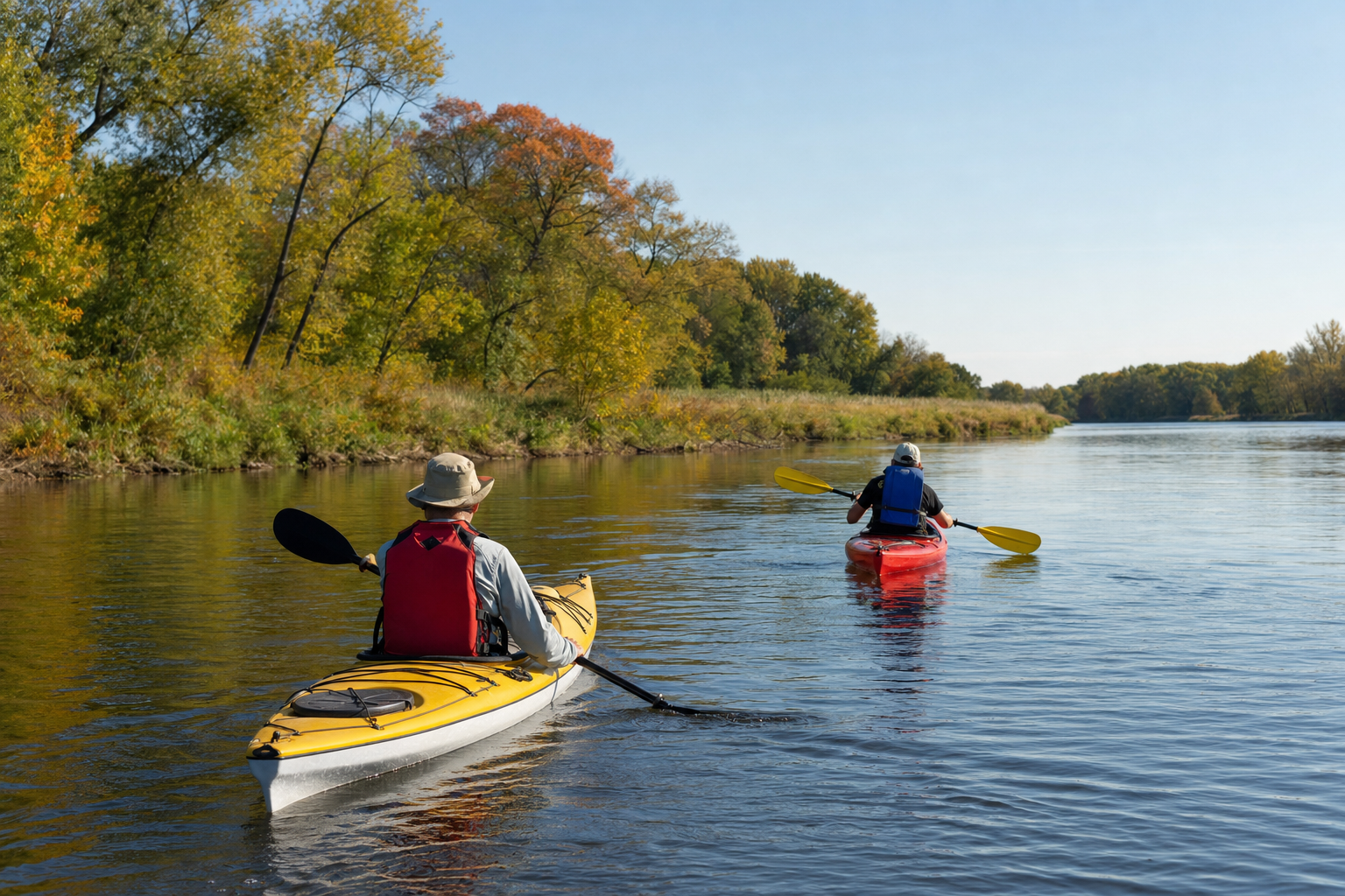
Use LakeFinder for the exact basin and the DNR water-trail resources for the river. Then check current fishing regulations, access status and Minnesota fish-consumption guidance.
Communities and seasons
Sauk Rapids connects the county to the St. Cloud riverfront, Rice sits near Little Rock Lake and Bend in the River, and Foley is the county seat inland. Event schedules are date-sensitive, so use the MinnesotaLakes events pathway and organizer listing before making plans.