DNR lake ID 11020300
Leech Lake
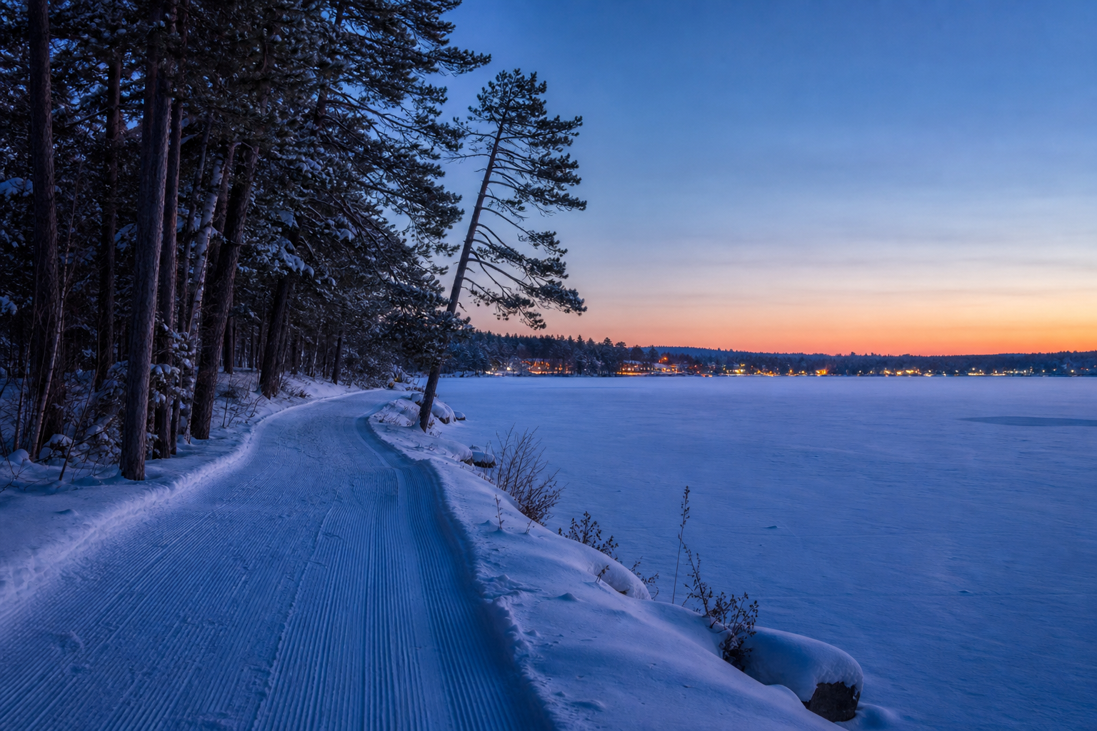
Leech Lake is a named DNR basin beside Walker and within the Chippewa National Forest recreation landscape.
Continue to the lake directory
Northwest Minnesota · Leech Lake and upper Mississippi country
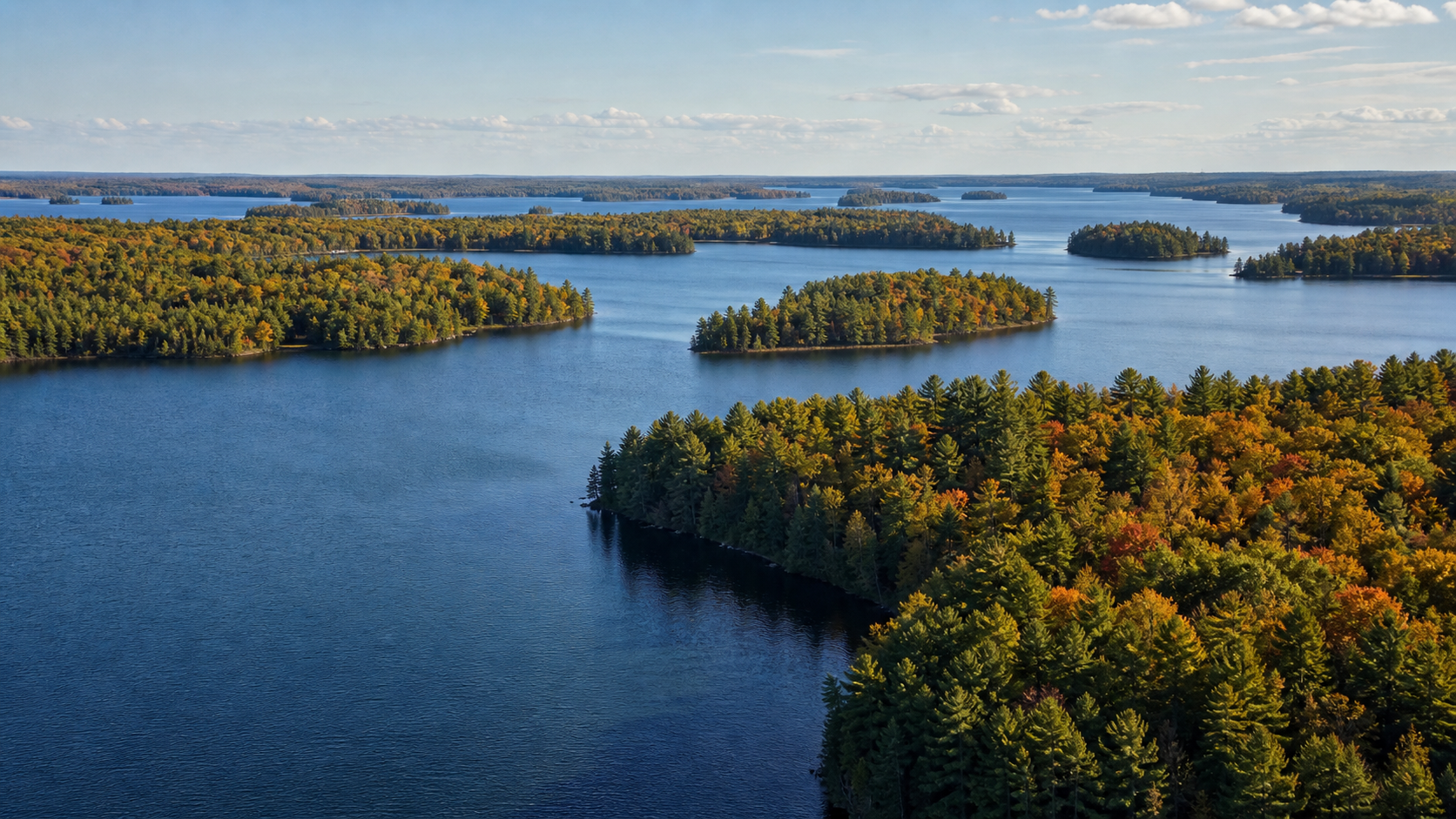
Cass County is organized by water at several scales: Leech Lake meets Walker, the Mississippi River crosses Cass Lake, and smaller deep lakes gather around Hackensack and Longville. Use those distinct hubs—not a single generic “lake country” story—to choose a shoreline, trail or public-land day.
Accessible orientation
Walker sits at Leech Lake and on the Heartland State Trail. Cass Lake provides a Mississippi River and national-forest base farther north. Hackensack and Longville orient trips among smaller named lakes to the west and south. Cass County is large enough that access, road and weather checks should happen before leaving a hub.
Canonical named-lake discovery
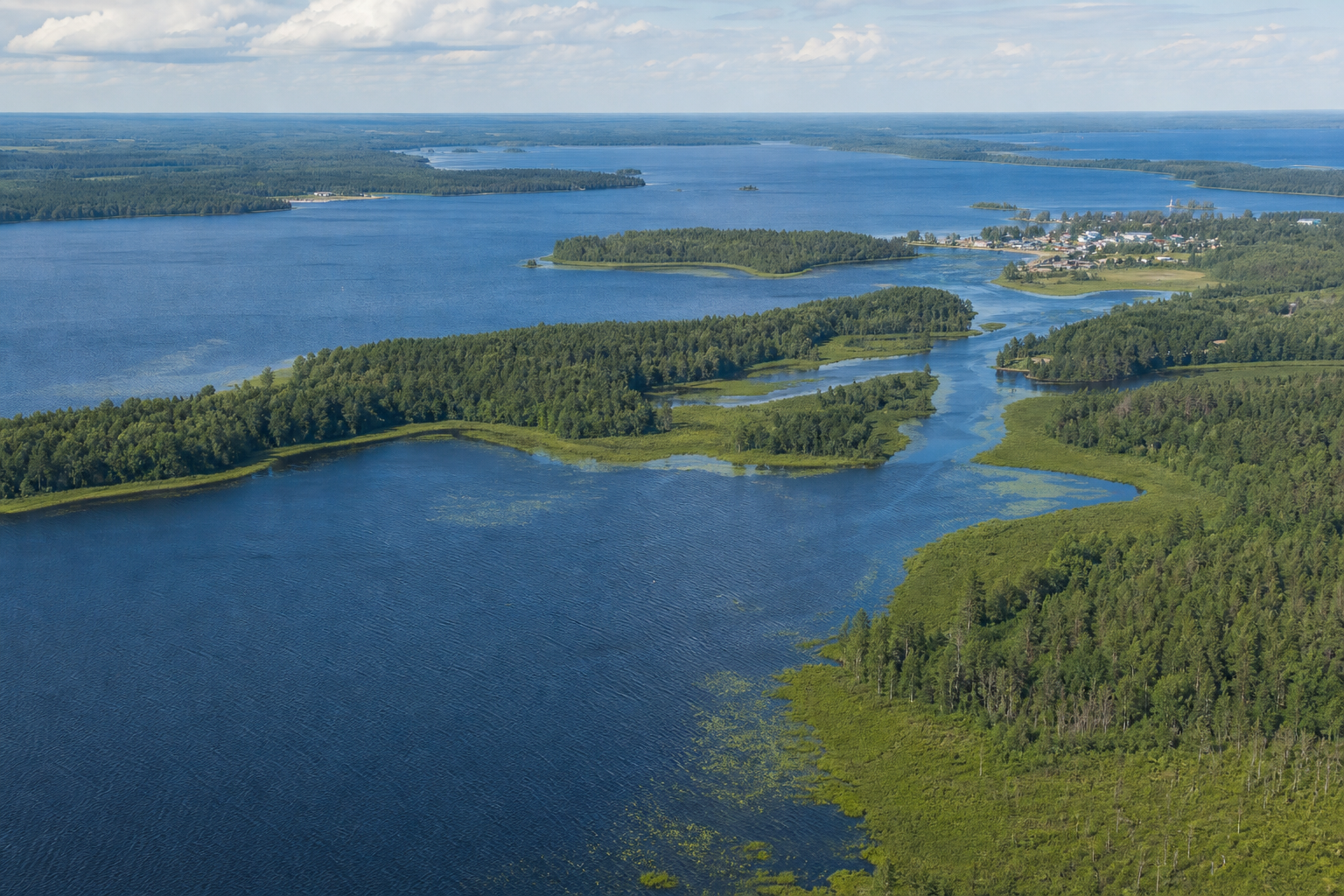
This versioned starter catalog contains four verified named DNR basins. It is not a claim that Cass County has only four lakes. Unnamed records are excluded, and future cross-county relationships will point to one canonical lake page rather than create duplicates.
DNR lake ID 11020300
Leech Lake is a named DNR basin beside Walker and within the Chippewa National Forest recreation landscape.
Continue to the lake directoryDNR lake ID 11030500
Cass Lake is a named DNR basin on the Mississippi River and the setting for the Forest Service’s Norway Beach Recreation Area.
Continue to the lake directoryDNR lake ID 11041300
Ten Mile Lake is a separate named DNR basin near Hackensack, documented in DNR lake and aquatic-vegetation records.
Continue to the lake directoryDNR lake ID 11038300
Pleasant Lake is a separate named DNR basin in Cass County, documented in DNR aquatic-vegetation records.
Continue to the lake directory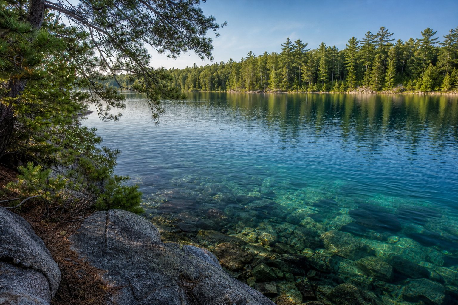
Deep-lake learning
DNR records identify Ten Mile Lake as basin 11-0413-00, and an agency vegetation report documents its historical clarity and aquatic plant community. Treat those measurements as dated science—not today’s visibility—and check the current LakeFinder record before fishing or launching.
Verified recreation pathways
Facilities, reservations, closures and event dates change. Use these verified relationships as starting points, then confirm the responsible agency’s current page.
The national forest’s recreation system reaches Cass Lake and Leech Lake. Ownership is intermingled, so use the current Forest Service map and site status rather than assuming every shoreline is public.
Open official forest detailsThe DNR describes paved segments between Park Rapids, Walker and Cass Lake, with a connection to the Paul Bunyan State Trail system. Check closures and trail conditions before riding.
Check the Heartland State TrailThe DNR’s upper Mississippi water-trail mapping places Cass Lake on the river corridor and documents accesses, portages and hazards. Conditions can change at any time.
Explore Minnesota rivers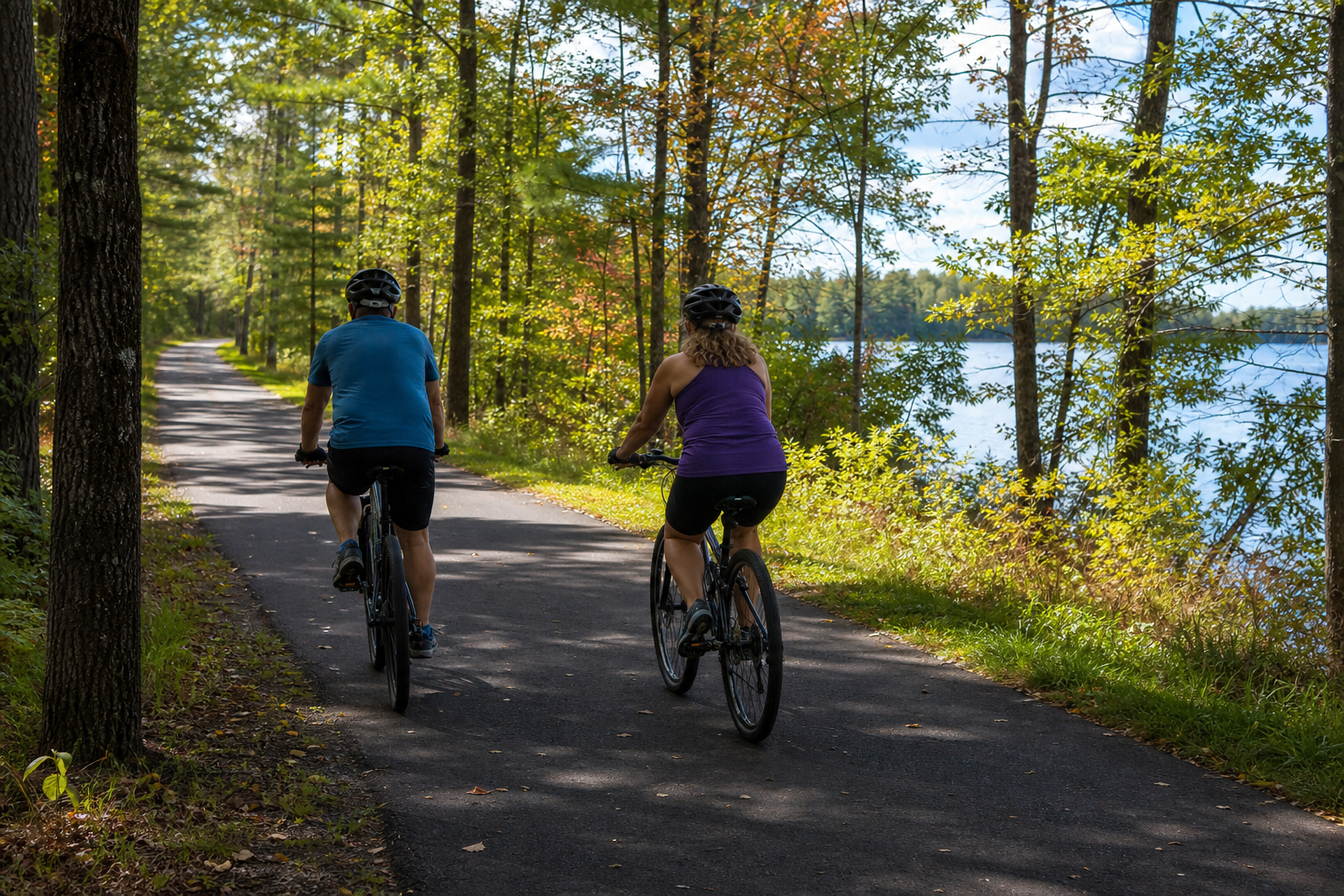
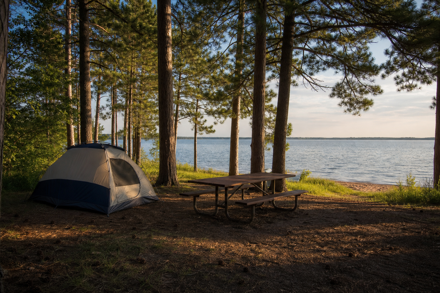
Forest Service recreation listings place Norway Beach camping loops on Cass Lake, including sites, beaches, trails and water access. Individual loops can close seasonally, so confirm the current status before making it the center of a trip.
Check official camping statusFour-season planning