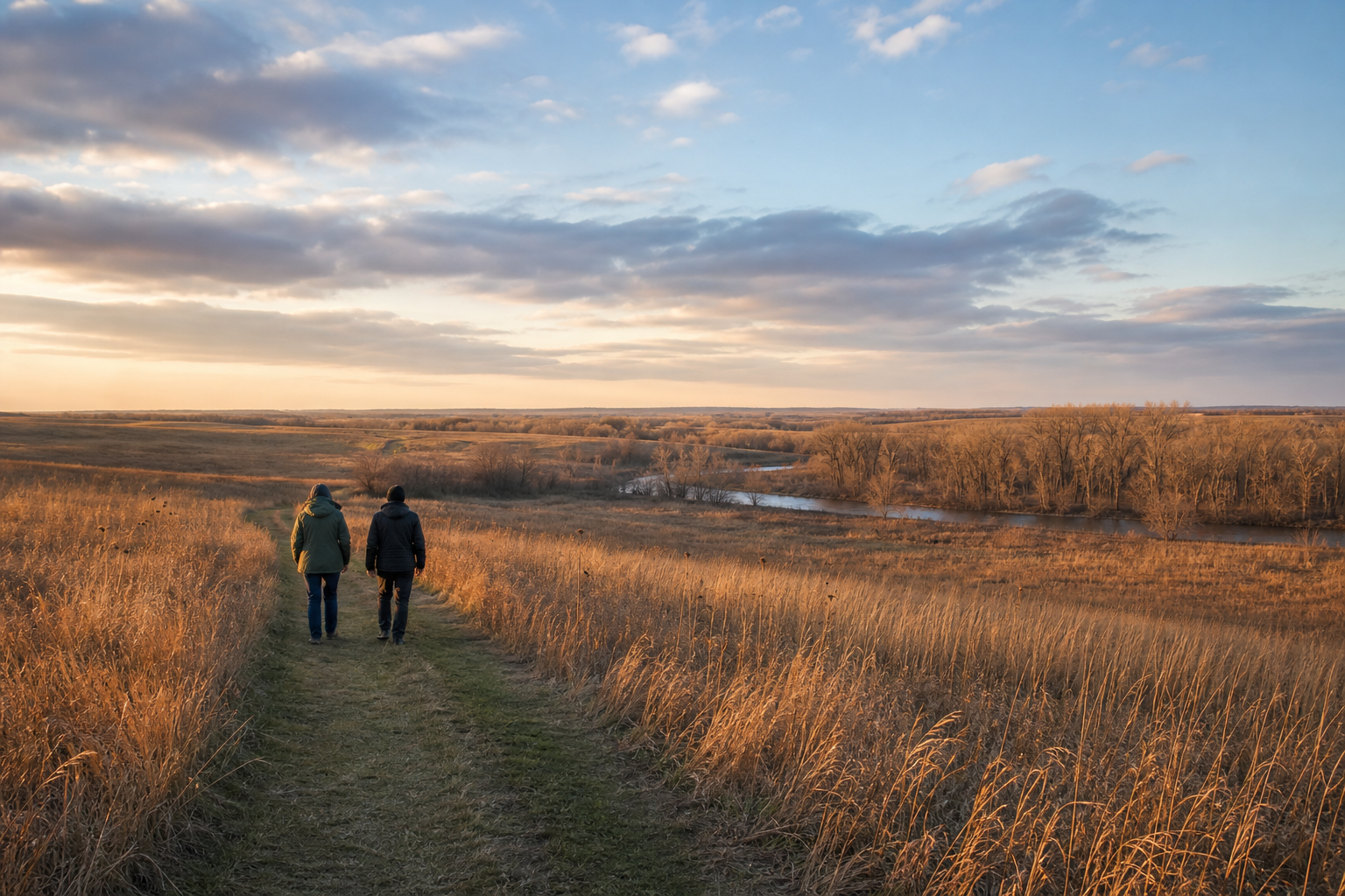
DNR lake ID 14000400
Tilde Lake
Tilde Lake is a named public-water basin recorded across Eglon and Goose Prairie townships.
Continue to the lake directory
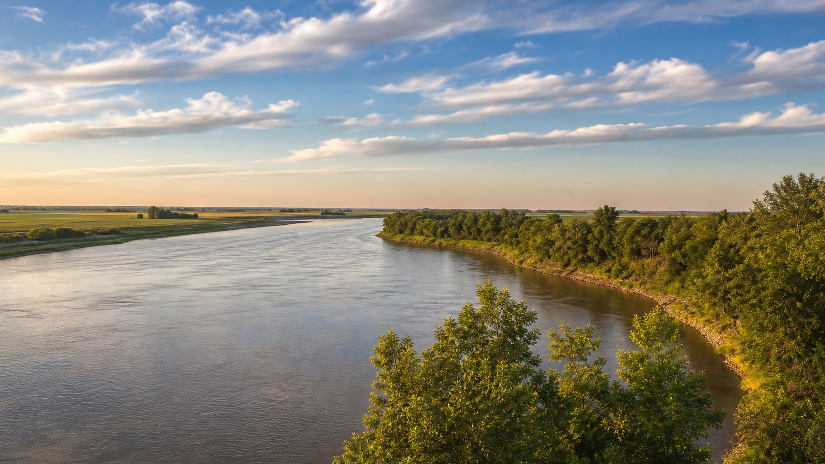
Northwest Minnesota · Red River, Buffalo River and prairie lakes
Clay County opens from Moorhead’s Red River banks into the level floor of former Glacial Lake Agassiz, then follows the Buffalo River toward tallgrass prairie and small named basins. This is river-valley lake country, not a northwoods resort landscape: choose an exact water or public place, then confirm access, flow, trail and seasonal conditions before setting out.
Accessible orientation
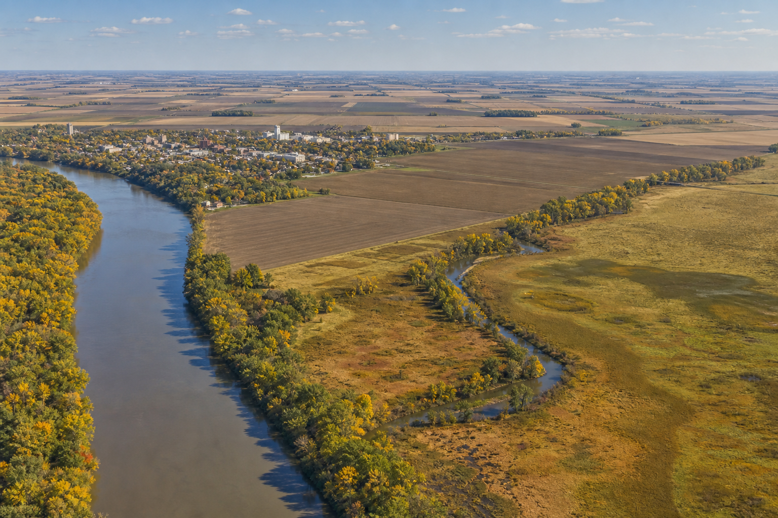
Start at the Red River of the North along Moorhead’s western edge. Travel east across the flat valley to Glyndon and Buffalo River State Park; continue toward Hawley and the county’s eastern prairie-lake and wetland country. The DNR Public Waters Inventory and state water-trail map remain the authorities for water identity and river navigation.
Canonical named-lake discovery
These four records come from the official Clay Public Waters Inventory and the versioned county catalog. Unnamed records are excluded. DNR IDs prevent same-name waters from becoming duplicate pages; this featured set is not presented as a total county lake count.
DNR lake ID 14000400
Tilde Lake is a named public-water basin recorded across Eglon and Goose Prairie townships.
Continue to the lake directoryDNR lake ID 14000900
Solem Lake is a separate named public-water basin recorded in Tansem Township.
Continue to the lake directoryDNR lake ID 14001200
Whiskey Lake is a separate named public-water basin recorded in Tansem Township.
Continue to the lake directoryDNR lake ID 14001800
Lake Eleven is a separate named public-water basin recorded in Parke Township.
Continue to the lake directory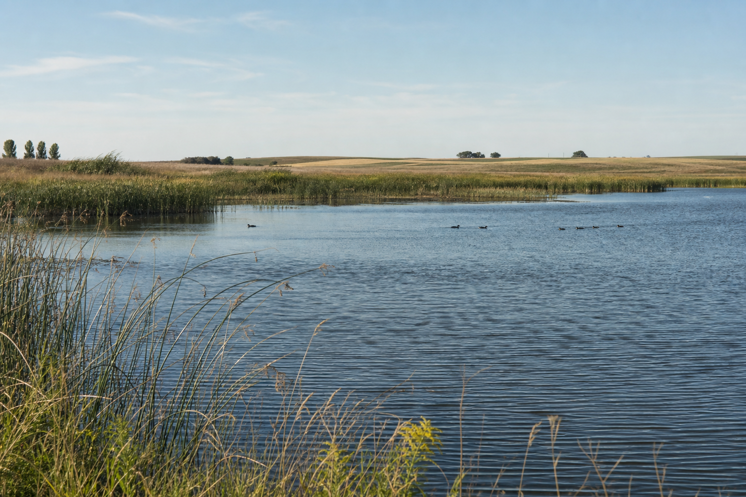
Fishing, camping and river travel
Access status, campground reservations, water levels, fishing rules and trail conditions change. Confirm them with the responsible agency before travel.
Near Glyndon, the state park links Buffalo River forest, campground facilities and trails into adjoining northern tallgrass prairie. Check the park page for current notices and reservations.
Check the official state park pageThe park trail map connects river-view routes with the adjoining Bluestem Prairie Scientific and Natural Area. Use the official map and observe posted site rules.
Open the official park trail mapThe DNR maps the Red River segment from the Wilkin–Clay county line through Georgetown. River levels, muddy access, snags and other conditions can change, so check before launching.
Open the official water-trail guide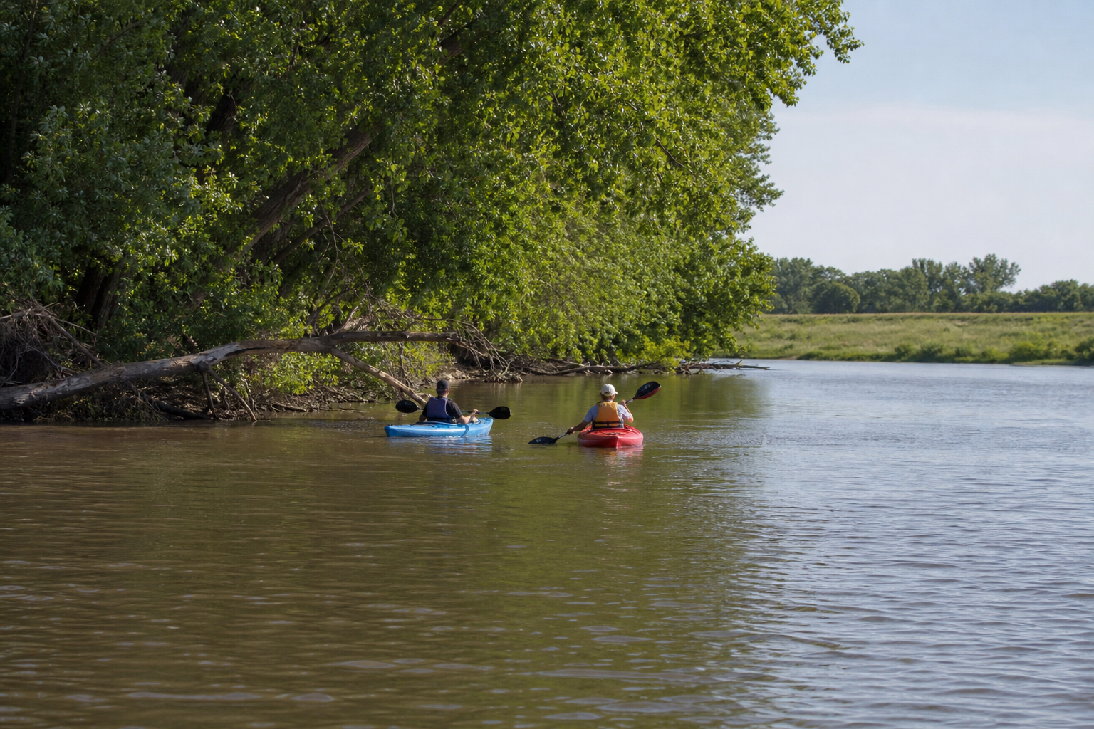
Use LakeFinder for the exact basin and the DNR guide for the Red River. Then check current fishing regulations, public access status, river levels and Minnesota fish-consumption guidance.
Communities and seasons
Moorhead is the county seat and Red River hub; Glyndon sits near Buffalo River State Park; Hawley and Barnesville orient trips farther east and south. Park naturalist programs and community events are date-sensitive, so confirm the organizer listing before traveling.