DNR lake ID 15001600
Lake Itasca
Lake Itasca is the named DNR basin from which the Mississippi River begins its state water-trail journey.
Continue to the lake directory
Northwest Minnesota · Mississippi headwaters
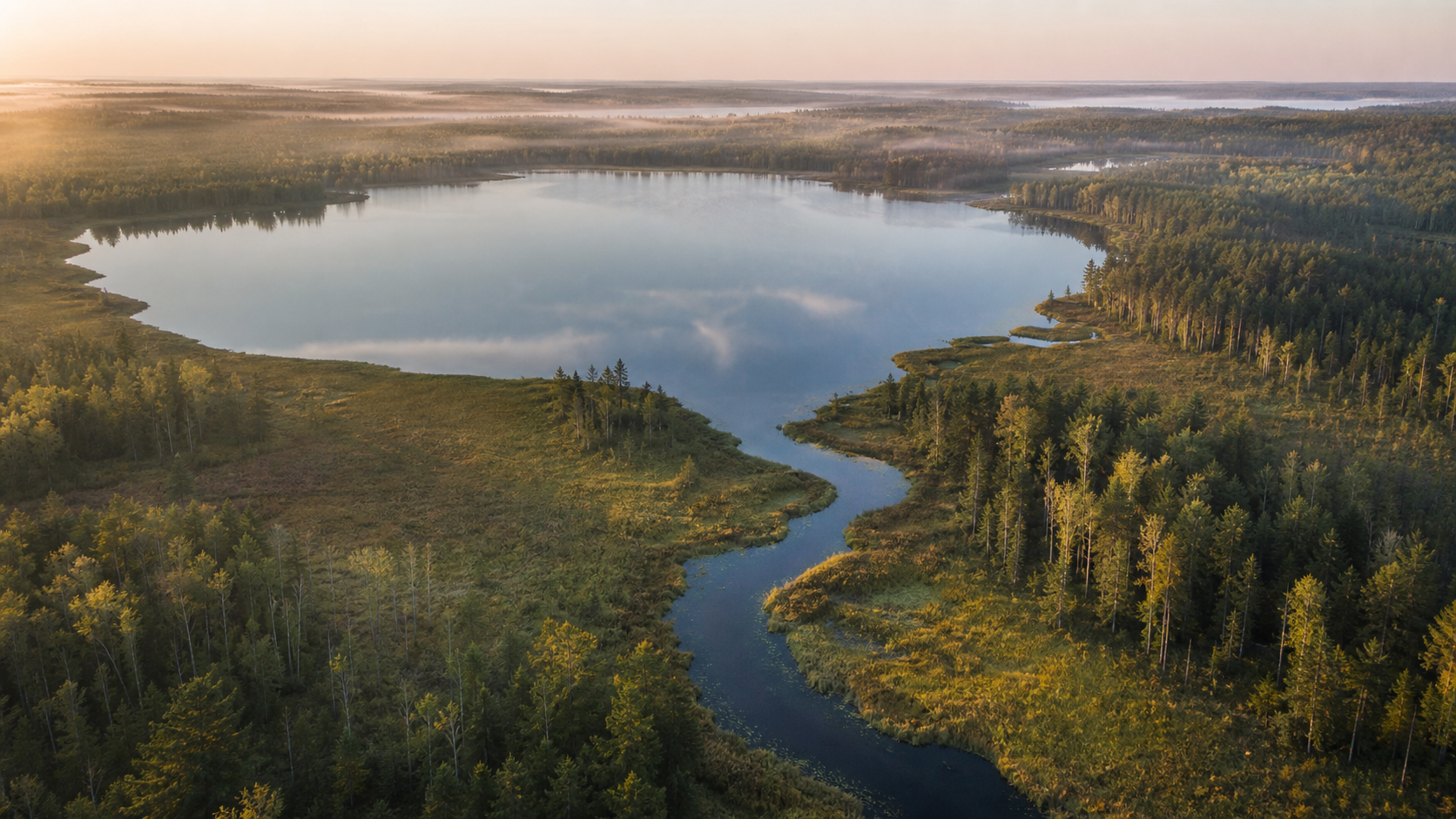
Clearwater County begins with a water story unlike any other Minnesota county: Lake Itasca releases the first reach of the Mississippi River. Beyond the headwaters, small forest lakes, Bagley, Clearbrook and the White Earth State Forest create distinct bases for a trip built around verified water, public land and changing conditions.
Accessible orientation
Itasca State Park occupies the county’s southeast lake-and-river headwaters. Bagley is the county seat and a practical central reference point; Clearbrook anchors the north. White Earth State Forest extends across the southwest county line. Road, access and facility status can differ sharply between these areas.
Canonical named-lake discovery
This versioned starter catalog contains four verified named DNR basins. It is not a claim that Clearwater County has only four lakes. Unnamed records are excluded, and future cross-county relationships will point to one canonical lake page rather than create duplicates.
DNR lake ID 15001600
Lake Itasca is the named DNR basin from which the Mississippi River begins its state water-trail journey.
Continue to the lake directoryDNR lake ID 15001000
Elk Lake is a DNR Sentinel Lake within Itasca State Park, studied for its watershed, habitat, fish community and climate sensitivity.
Continue to the lake directoryDNR lake ID 15000500
Lake Ozawindib is a separate named DNR basin in Itasca State Park with an official aquatic-plant survey and public access.
Continue to the lake directoryDNR lake ID 15006800
Long Lost Lake is a separate named Clearwater County DNR basin with an access recorded on the official county map.
Continue to the lake directory
Lake science in the field
The DNR identifies Elk Lake as basin 15-0010-00 and a Sentinel Lake. Agency research follows its watershed, aquatic habitat, fish community and sensitivity to climate change. Measurements describe dated monitoring—not guaranteed conditions for a visit—so consult the current record before fishing or launching.
Verified recreation pathways
Facilities, reservations, trail conditions, access status and event dates change. Use these verified relationships as starting points, then check the responsible agency’s current page.
The DNR park connects Lake Itasca, the Mississippi headwaters, camping and lodging, naturalist programs, hiking, bicycling and winter recreation. Confirm current facilities, permits and reservations.
Open official park detailsThe state forest crosses Clearwater, Mahnomen and Becker counties and includes motorized and nonmotorized routes, primitive camping and water access. Its lands are intermingled, so verify boundaries and current rules.
Check the state forestThe first official water-trail segment begins at Lake Itasca. DNR mapping warns of beaver dams, culverts, changing water levels and Class I reaches, so skill and conditions must shape the route.
Explore Minnesota rivers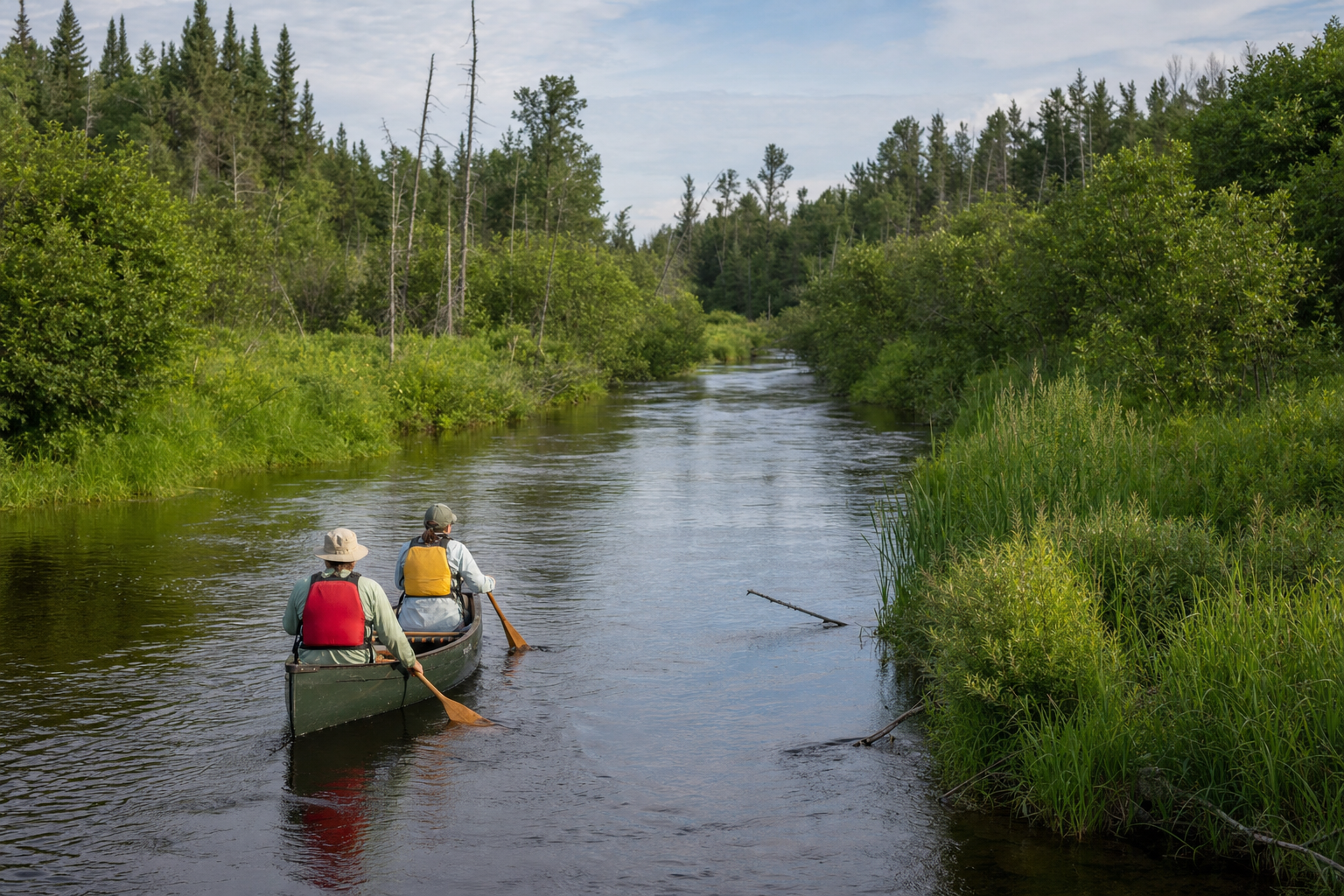
Four-season planning