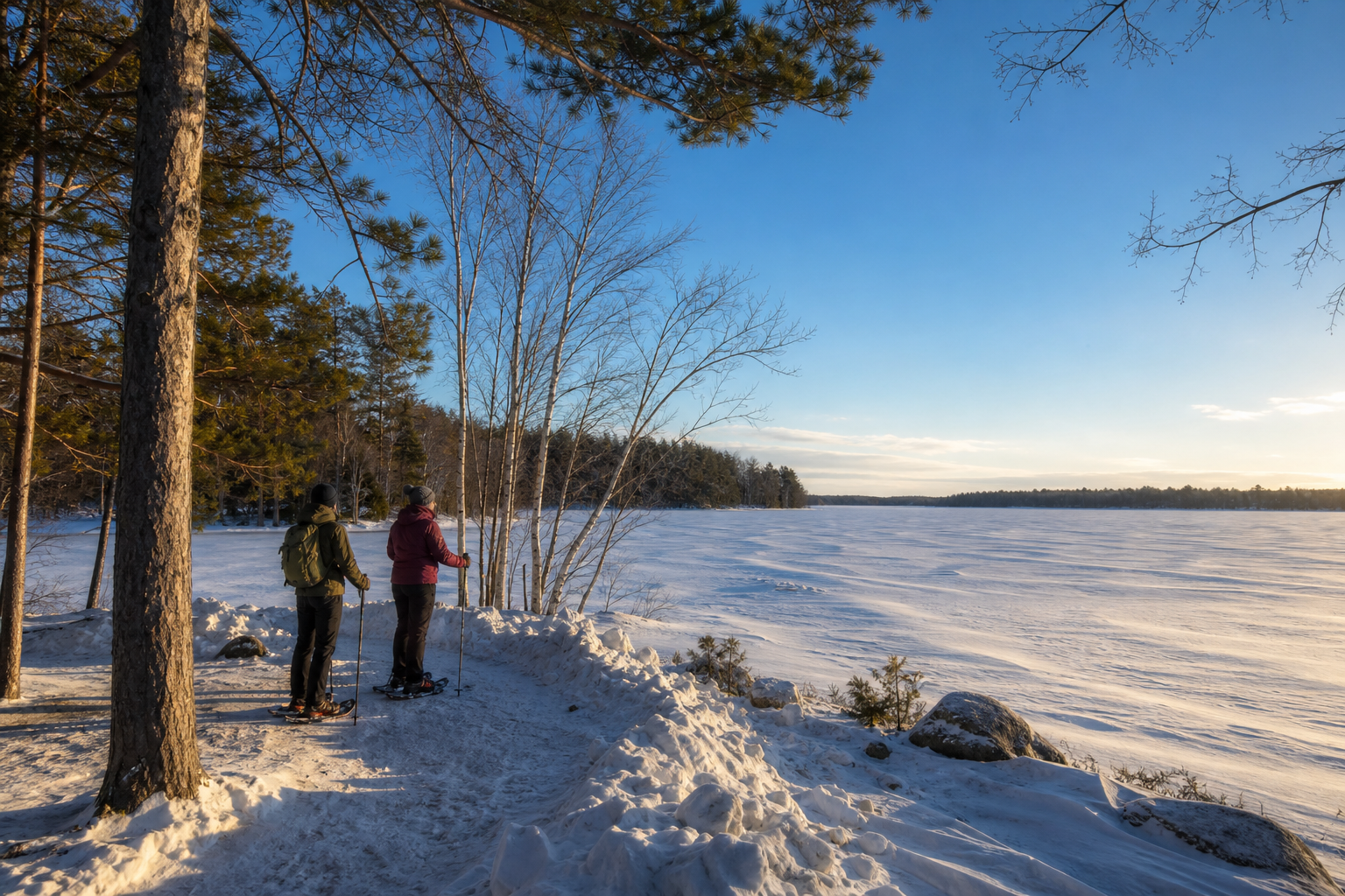
DNR lake ID 18030800
Pelican Lake
Pelican Lake is recorded across the Lake Edward and Pelican township area; use its DNR ID to distinguish it from other Minnesota waters with the same name.
Continue to the lake directory
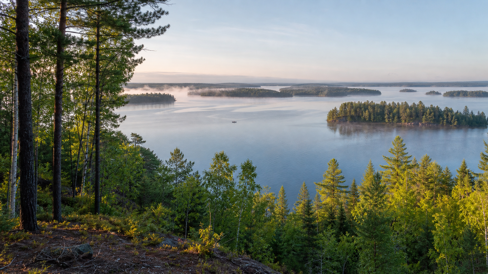
Northwest Minnesota · Brainerd lakes, great rivers and the Cuyuna Range
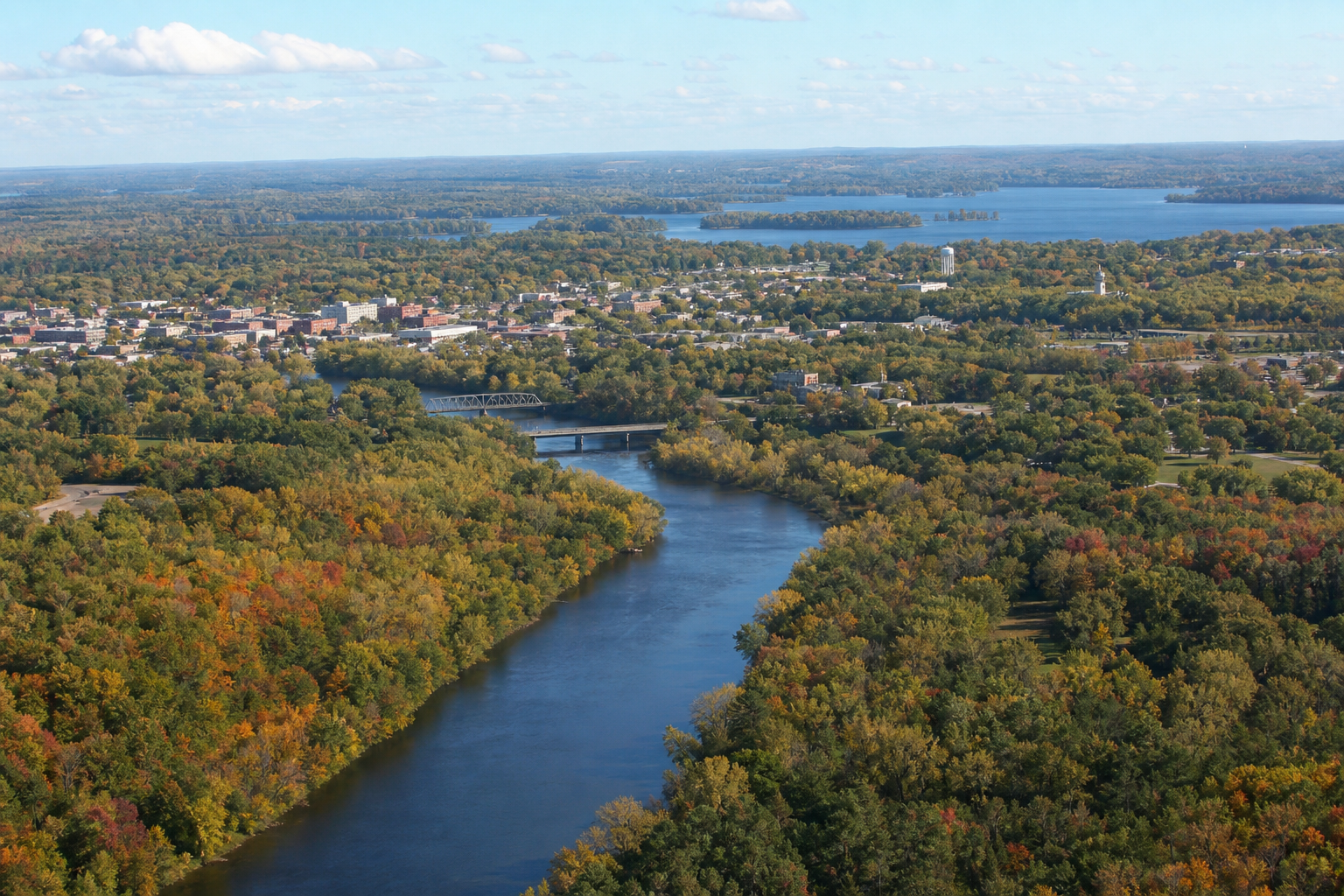
Crow Wing County is where the Mississippi threads through Brainerd and Baxter, lake chains spread north toward Nisswa, Pequot Lakes and Crosslake, and the red earth of the Cuyuna Range meets deep mine lakes near Crosby. Begin with an exact DNR water identity, then connect it to a verified access, trail or public park.
Accessible orientation
Brainerd and Baxter form the central services hub along the Mississippi. North, the Nisswa–Pequot Lakes–Crosslake corridor reaches Pelican and Whitefish chain country. East, Crosby, Deerwood and Ironton orient visitors to Serpent Lake and the reclaimed mine lakes of Cuyuna Country.
Canonical named-lake discovery
These featured records come from the official Crow Wing Public Waters Inventory and the versioned county catalog. Unnamed waters are excluded. Gull Lake is listed by the inventory under Cass County ID 11-305 and is therefore not duplicated here.
DNR lake ID 18030800
Pelican Lake is recorded across the Lake Edward and Pelican township area; use its DNR ID to distinguish it from other Minnesota waters with the same name.
Continue to the lake directoryDNR lake ID 18031000
Whitefish Lake anchors the county’s northern chain-of-lakes geography near Crosslake and Ideal Township.
Continue to the lake directoryDNR lake ID 18009000
Serpent Lake is the named basin beside Crosby and Deerwood, west of the Cuyuna mine-lake landscape.
Continue to the lake directoryDNR lake ID 18013600
South Long Lake lies south of Brainerd; its southwest outlet is the setting for a county park with shore fishing.
Continue to the lake directory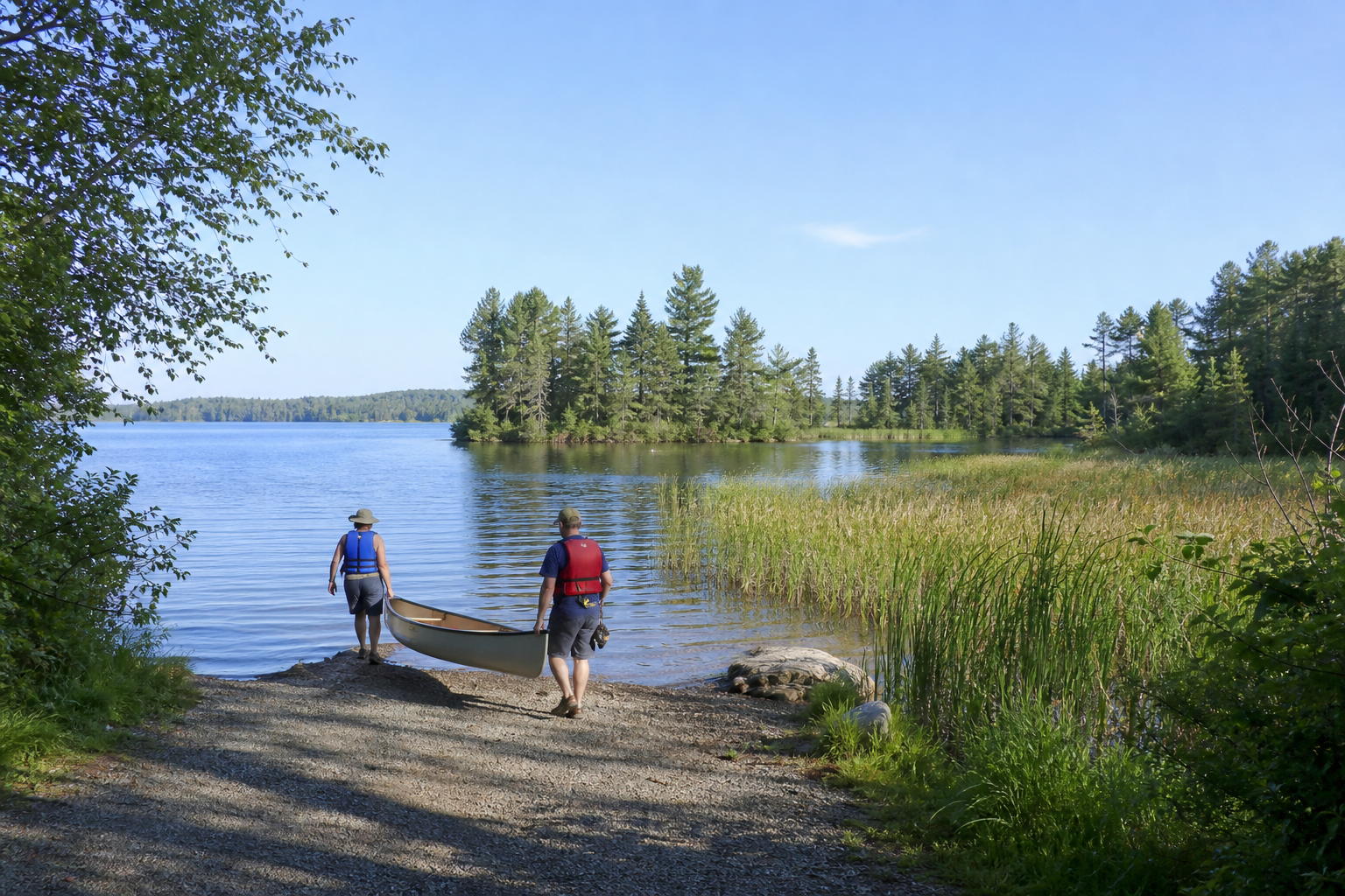
Fishing, camping and river travel
Access status, campground reservations, water levels, fishing rules and trail conditions change. Confirm them with the responsible agency before travel.
South of Brainerd, the state park protects the Mississippi and Crow Wing river confluence and provides camping, trails and river access. Check current notices and reservations.
Check the official state park pageThe state recreation area around Crosby and Ironton joins natural lakes, water-filled former mine pits, camping and purpose-built trails. Use the official map and posted rules.
Open the official recreation-area guideSouth Long Lake Park supports shore fishing and picnicking; Little Emily Lake Park lists a beach, fishing pier, paddle launch and walking trails. Verify seasonal amenities before travel.
Open the official county parks guide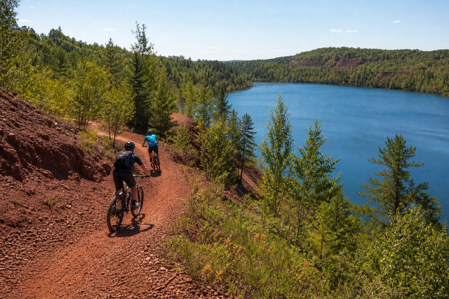
Use LakeFinder and the official county access map for the exact basin. Then check current fishing regulations, access status and Minnesota fish-consumption guidance; mine lakes and natural lakes are not interchangeable.
Communities and seasons
Brainerd and Baxter are the central service hubs; Nisswa, Pequot Lakes and Crosslake orient northern lake-chain trips; Crosby, Deerwood and Ironton interpret Cuyuna mining history and recreation. Events are date-sensitive, so confirm an organizer listing before traveling.