DNR lake ID 21005700
Lake Carlos
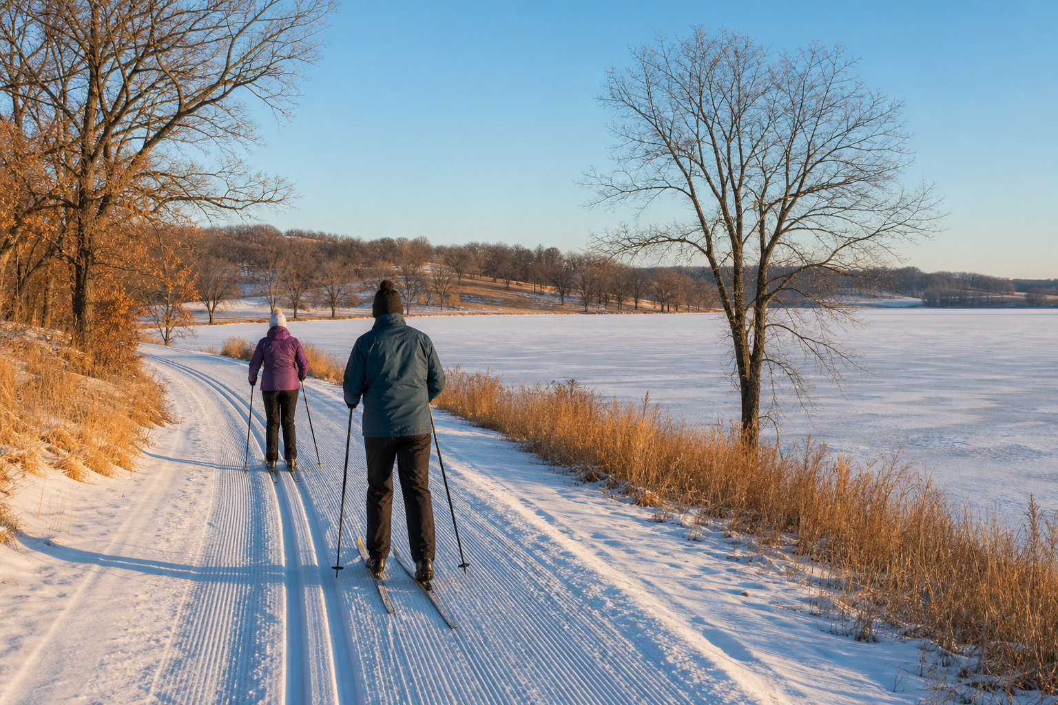
Lake Carlos lies north of Alexandria, forms the headwaters of the Long Prairie River and has Lake Carlos State Park along its north shore.
Continue to the lake directory
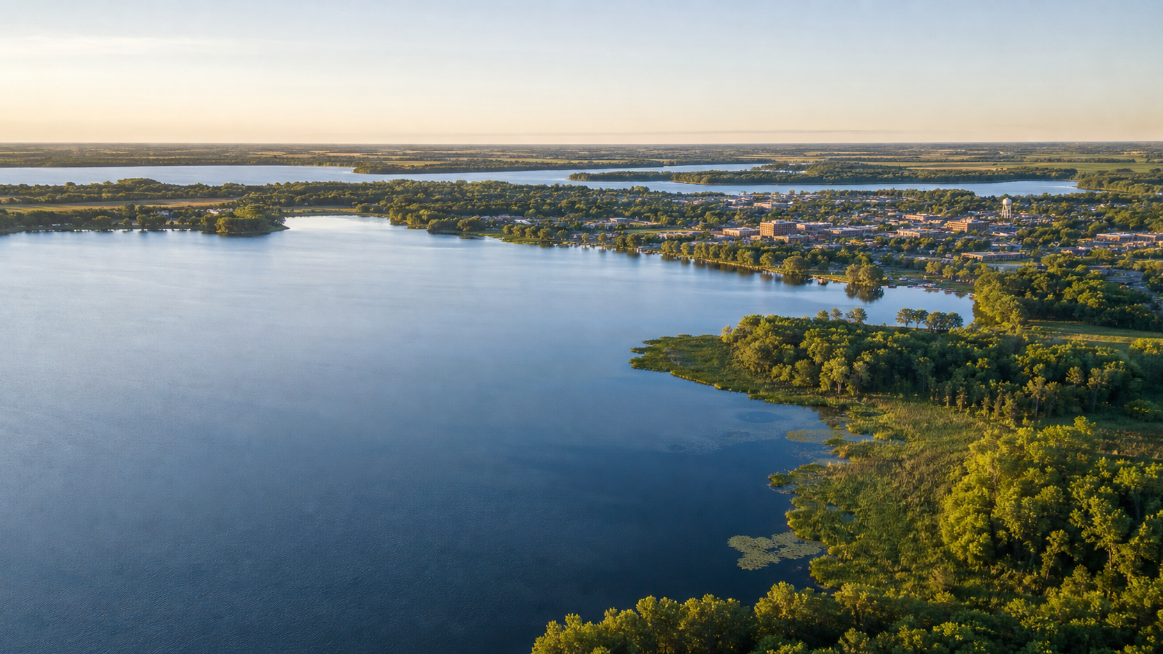
Northwest Minnesota · Alexandria’s lake chain, prairie edges and Long Prairie headwaters
Douglas County’s water story is unusually legible from Alexandria: Agnes and Winona meet the city, Geneva, Victoria and Le Homme Dieu carry the chain north, and Carlos begins the Long Prairie River. Beyond that connected core, Ida and Miltona open a broader landscape of glacial lakes, farms, hardwoods and prairie wetlands. Start with an exact DNR identity, then verify the access and conditions for that water.
Accessible orientation
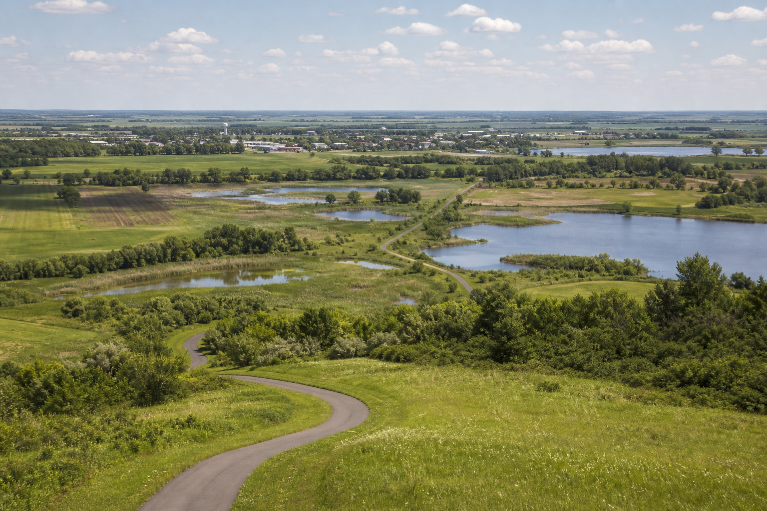
Alexandria anchors the center of the county. The connected chain extends north toward Le Homme Dieu and Carlos; Ida and Miltona sit farther northwest and north. The Central Lakes State Trail crosses the county through Evansville, Brandon, Garfield, Alexandria and Nelson before reaching Osakis.
Canonical named-lake discovery
These records come from the official Douglas County Public Waters Inventory and the versioned county catalog. Unnamed waters are excluded. The DNR is updating Douglas County’s PWI in 2026, so use its update page for the newest correction status.
DNR lake ID 21005700
Lake Carlos lies north of Alexandria, forms the headwaters of the Long Prairie River and has Lake Carlos State Park along its north shore.
Continue to the lake directoryDNR lake ID 21005600
Lake Le Homme Dieu is the named chain basin immediately north of Alexandria; its DNR ID separates it from neighboring Geneva, Victoria and Carlos.
Continue to the lake directoryDNR lake ID 21012300
Lake Ida is a separate named basin northwest of Alexandria in Ida Township, outside the city-centered chain.
Continue to the lake directoryDNR lake ID 21008300
Lake Miltona occupies the county’s northern lake country across Miltona and Carlos townships.
Continue to the lake directory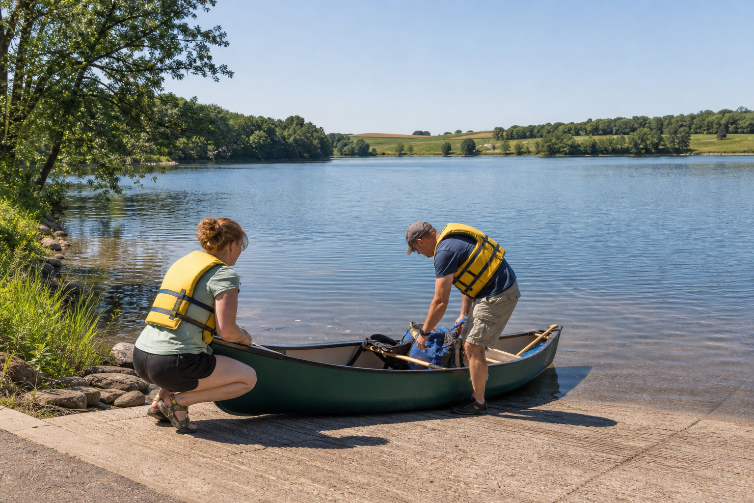
Fishing, trails and a state-park base
Access status, reservations, water conditions, fishing rules and trail conditions change. Confirm them with the responsible agency before travel.
The park’s official guide places it on Lake Carlos and lists swimming, fishing, boating, hiking, camping and horseback riding among its recreation options. Reserve camping and check current notices before leaving.
Open the official park map and guideThe paved state trail follows the former railroad corridor across Douglas County, linking Evansville, Brandon, Garfield, Alexandria, Nelson and Osakis. Use the DNR trail page for current rules and conditions.
Explore the official trail tourLake Carlos is a DNR Sentinel Lake, monitored to understand long-term ecological change. The official profile identifies a diverse fish community and documents invasive species, making it a useful stop for learning as well as recreation.
Read the official Lake Carlos profile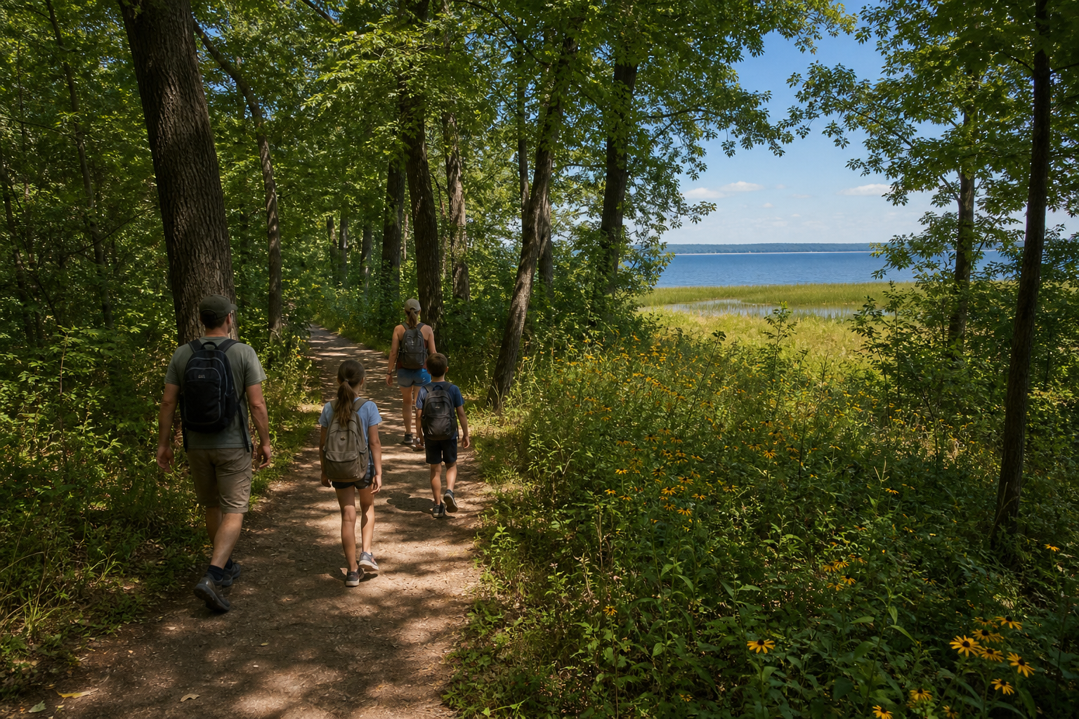
Use LakeFinder and the official county access map for the exact basin. Then check current fishing regulations, aquatic-invasive-species notices and Minnesota fish-consumption guidance. A familiar lake name is not enough.
Communities and seasons
Alexandria is the central services and trail hub. Carlos orients Lake Carlos and the state park; Miltona and Lake Miltona anchor the north; Evansville, Brandon, Garfield and Nelson mark the state-trail corridor; Osakis sits at the county’s southeast edge. Events are date-sensitive, so verify an organizer listing before traveling.