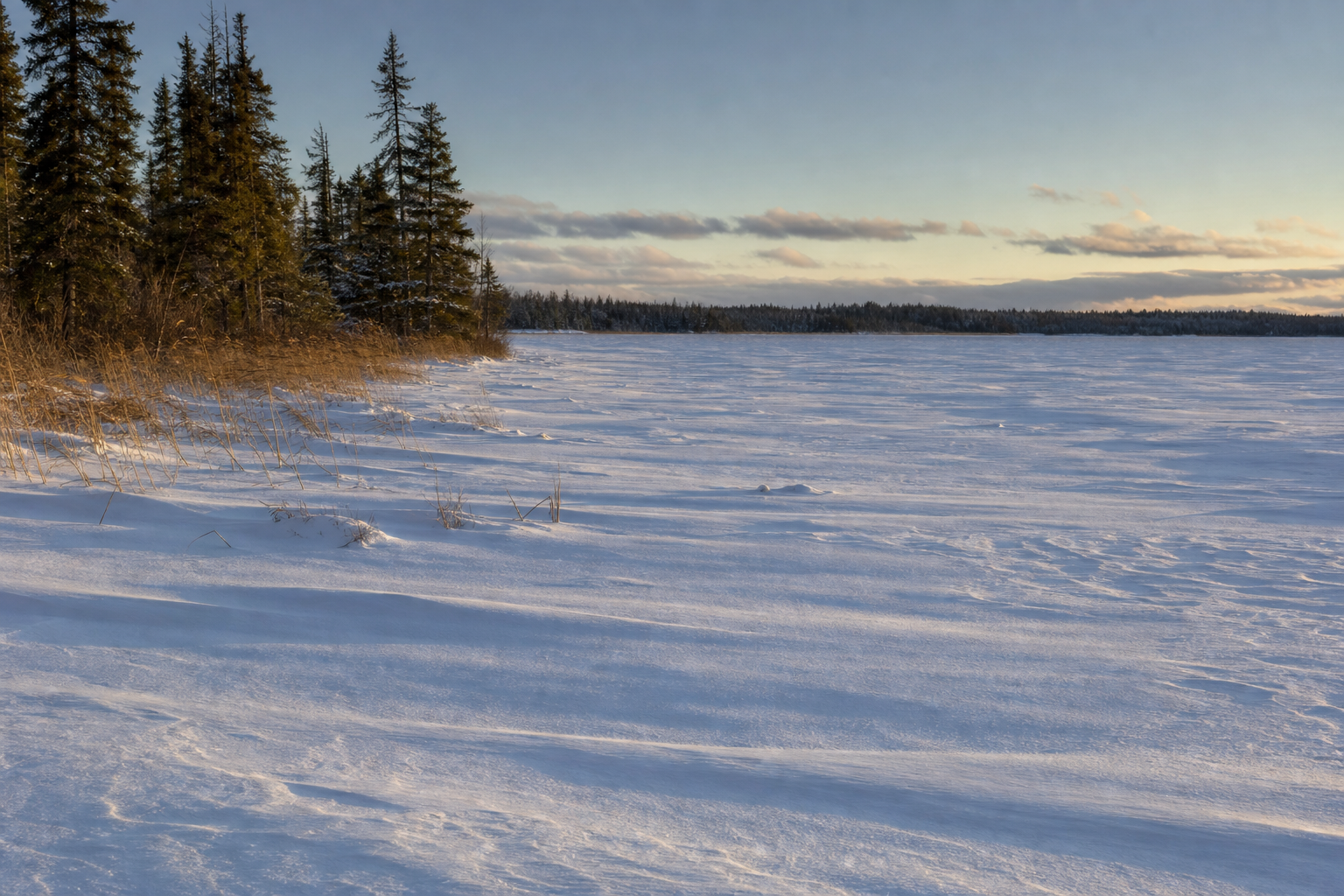
Lake of the Woods
Use the canonical lake profile for verified identity, source dates and future county relationships. DNR’s large-lake program is the current authority for fisheries monitoring and management.
Browse published lake profiles
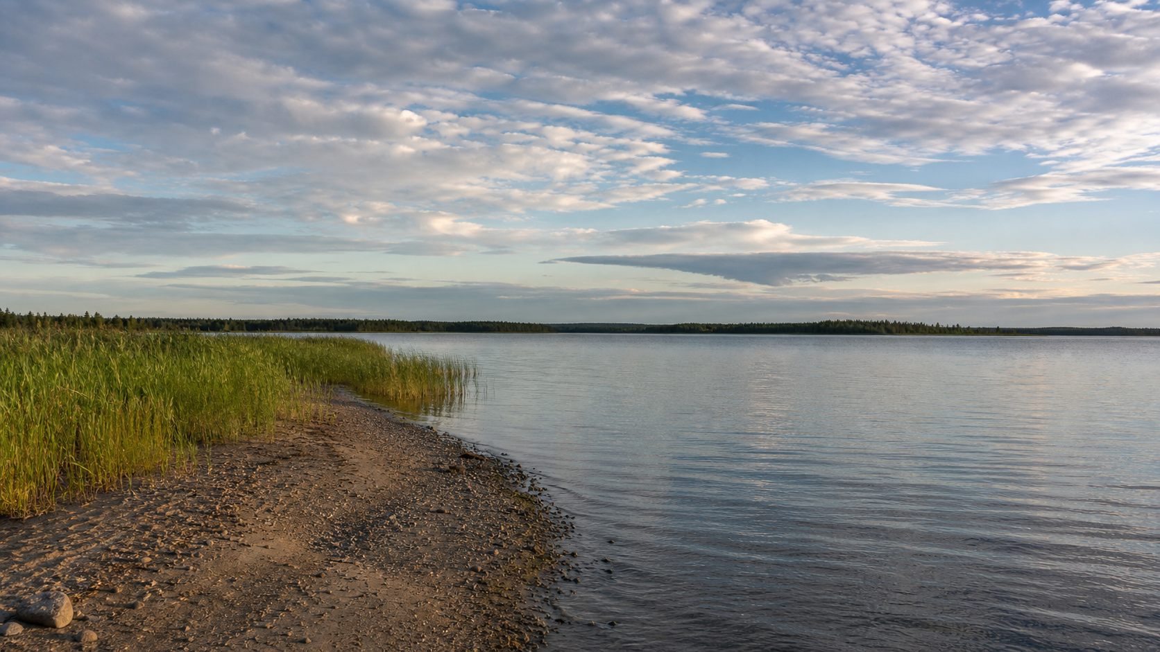
Northwest Minnesota · border-water county
Here, Minnesota meets Canada across enormous water and low northern forest. Begin at the Rainy River in Baudette, follow the south shore toward Zippel Bay, or orient a remote Northwest Angle trip before choosing a launch, trail or season.
Orient the county
Lake of the Woods forms the county’s northern water horizon; the Rainy River traces the international border east of the lake; peatlands and state forest spread south of the settled corridor. Baudette is the county seat, while Williams and Roosevelt are incorporated communities on the south-shore approach.
Canonical named-water discovery
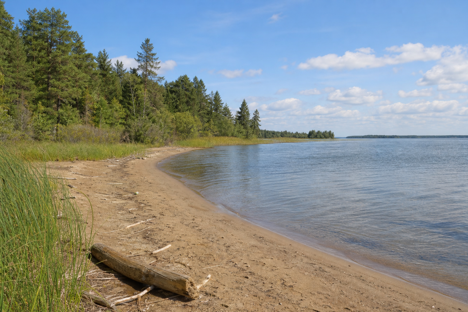
The reviewed county snapshot currently exposes one canonical named-lake identity: Lake of the Woods (Minnesota DNR lake ID 39000200). Zippel and Muskeg are bays of that lake, not duplicate lake pages. The waterbody also extends beyond this county and the United States; MinnesotaLakes keeps one public identity.
Use the canonical lake profile for verified identity, source dates and future county relationships. DNR’s large-lake program is the current authority for fisheries monitoring and management.
Browse published lake profilesThe Rainy River is a river corridor, not a county lake. Continue through the river directory for source-reviewed water-trail and watershed context.
Explore Minnesota riversWind, waves, river flow, ice, launches, fishing rules and invasive-species notices are dynamic. Confirm them with the responsible agency before travel.
Plan a lake trip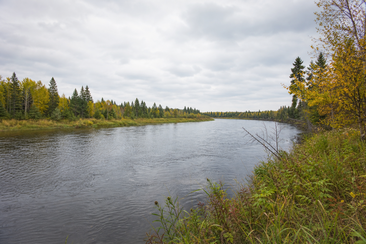
Fishing with live checks
Minnesota DNR manages Lake of the Woods and the Rainy River as a connected large-lake fishery. Its official program documents walleye, sauger, northern pike and lake sturgeon work, while regulations and seasons can differ by water and date.
Start with the fishing guide, then confirm the current regulation booklet, border requirements, weather and access. Never treat a photograph or past ice season as a safety report.
Verified public-land pathways
These are documented county relationships, not rankings or promises that every facility is open.
DNR documents Lake of the Woods shoreline, beach, marina, boat ramp, fishing pier, camping and trails at this state park. Check the park page for reservations and alerts.
Open official detailsThe county lists Boy Scout Park on Graceton Beach, plus Eagle Landing and Clementson Park on the Rapid River. Use the county page for directions and use requirements.
Open county park detailsLake of the Woods State Forest and portions of Beltrami Island State Forest provide remote recreation context. Norris Camp anchors DNR’s Red Lake wildlife work area and preserves a Civilian Conservation Corps-era site.
Check state forest information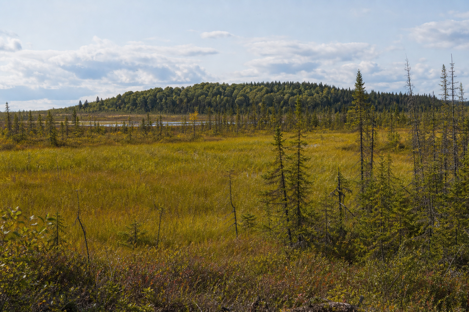
A four-season decision