DNR lake ID 44000300
Tulaby Lake
Tulaby Lake is a separate public-water identity in the county’s wooded southeast. Use its eight-digit DNR number when opening LakeFinder.
Continue to the lake directory
Northwest Minnesota · White Earth Nation, lakes, rivers and prairie wetlands
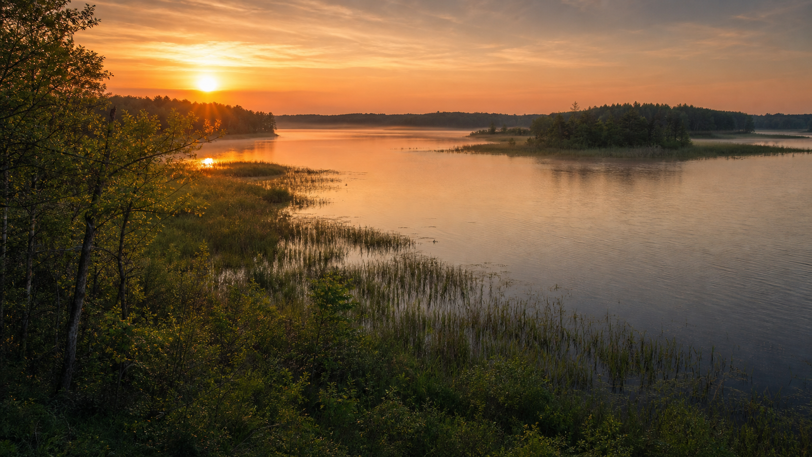
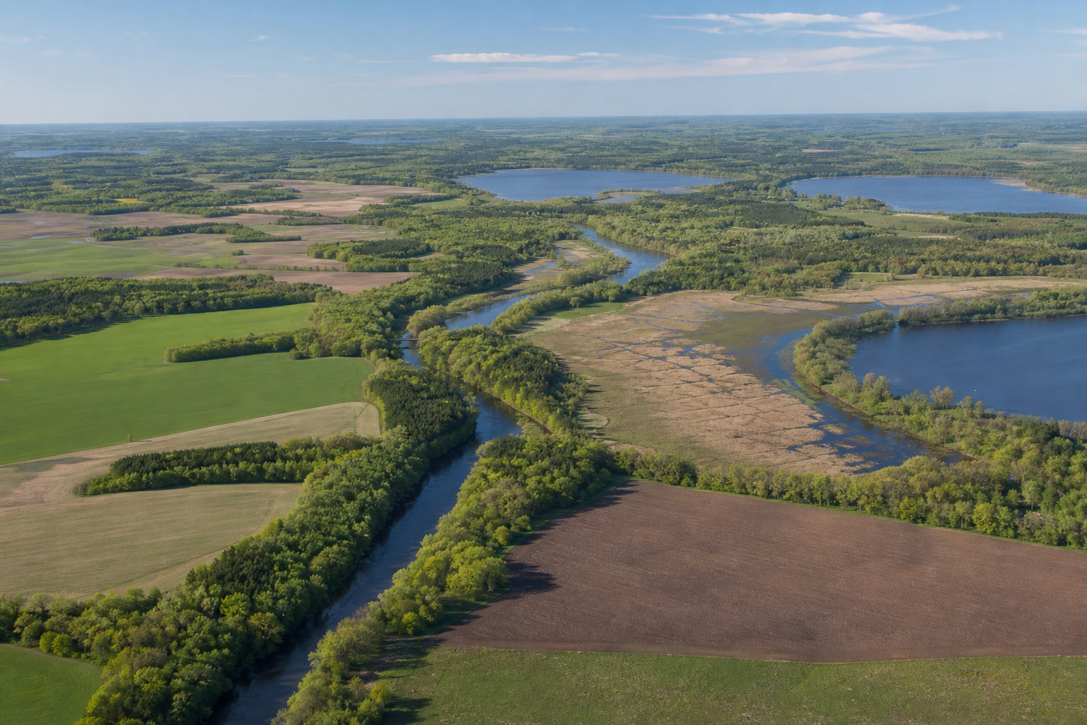
Mahnomen County sits entirely within the White Earth Reservation, where lake travel belongs inside a larger landscape of sovereign tribal homelands, the Wild Rice and White Earth rivers, hardwood hills and western prairie wetlands. The densest named-lake district lies toward Waubun and the county’s southeast; farther west, river corridors and conserved prairie become the clearer guides. Start with the exact water identity, then confirm jurisdiction, access and current rules.
Accessible orientation
The Wild Rice River crosses the county from the lake-rich east toward Mahnomen and the western boundary. The White Earth River crosses the southern half. Waubun and Mahnomen are practical community bearings; Bejou lies farther west. Because reservation, tribal, state, county and private jurisdictions can meet within one trip, an official map is an orientation tool—not permission to enter or launch.
Canonical named-lake discovery
These records use names and numbers from the Minnesota DNR county Public Waters Inventory. Unnamed records are excluded. The original inventory is a historical reference, so confirm current names, access and regulations in official DNR and White Earth Nation resources before travel.
DNR lake ID 44000300
Tulaby Lake is a separate public-water identity in the county’s wooded southeast. Use its eight-digit DNR number when opening LakeFinder.
Continue to the lake directoryDNR lake ID 44001100
Little Elbow Lake lies in the same southeastern lake district but keeps its own official name and number.
Continue to the lake directoryDNR lake ID 44001400
South Twin Lake is distinct from North Twin Lake. Never merge their maps, access details or fishery records.
Continue to the lake directoryDNR lake ID 44002300
North Twin Lake is the northern member of the pair and has its own DNR public-water identity.
Continue to the lake directory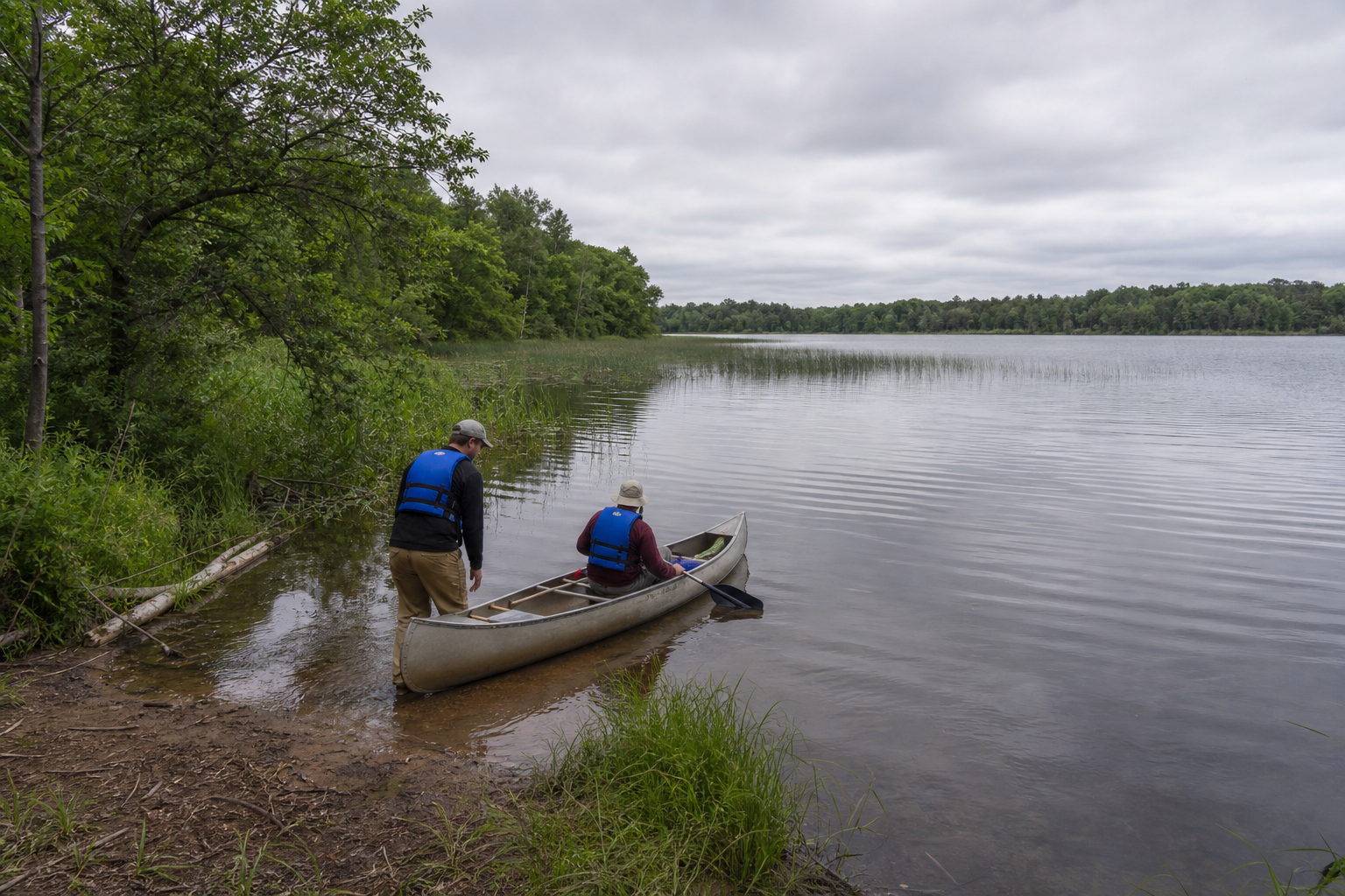
Fishing and recreation pathways
LakeFinder provides state lake records and fishing information, while White Earth Nation maintains its own natural-resources programs and rules. A lake’s appearance in a catalog does not establish public access, permission, a fishery promise or safe conditions.
Search by exact DNR number, then check current fishing regulations, any special regulation and the authority governing the water or access. Conditions and rules can change.
Check Minnesota fishing regulationsThe county is within the White Earth Reservation. Consult White Earth Nation for tribal natural-resources, licensing and land guidance instead of assuming a state or county rule settles every question.
Visit White Earth Natural ResourcesThe DNR inventory identifies the Wild Rice and White Earth rivers as public-water courses across Mahnomen County. Use current maps and local conditions before planning any river outing.
Explore Minnesota rivers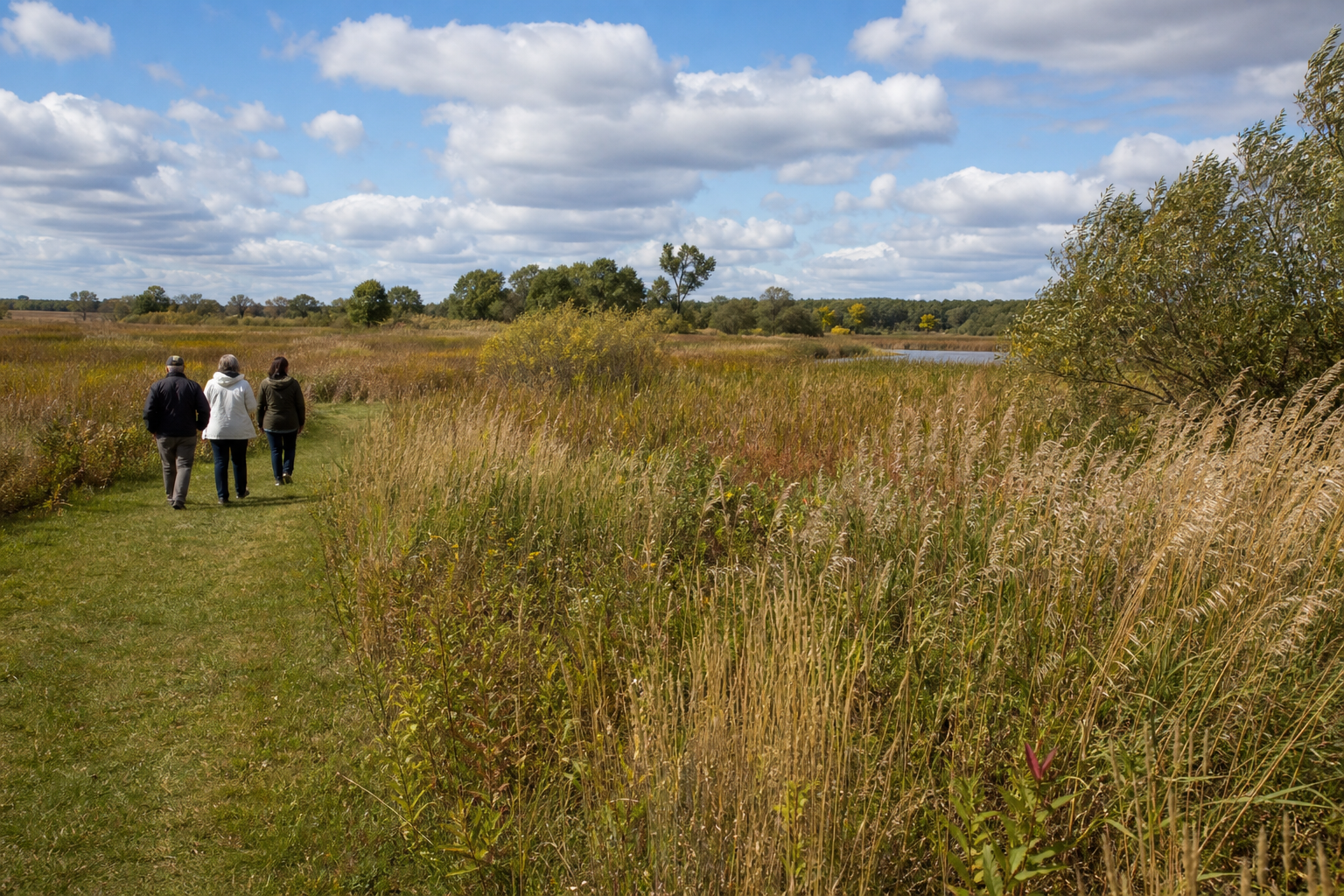
Santee Prairie Scientific and Natural Area and adjacent Wambach Wildlife Management Area protect mesic prairie, wet prairie, marsh and shrub-swamp habitat west of the lake district. SNAs and WMAs have different purposes and rules; consult each official listing before visiting.
Find official prairie sitesCommunities and seasons
Mahnomen, Waubun and Bejou are verified community bearings, not stand-ins for invented attractions. White Earth Nation is a living sovereign community, not a theme for visitor copy. Look to official tribal and agency sources for current cultural programs and events; if a date cannot be verified, it is not listed here.