DNR lake ID 45000100
Thief Lake
Thief Lake is a named basin in the county’s northern wildlife landscape. Its public-water identity does not by itself establish access or permitted recreation.
Continue to the lake directory
Northwest Minnesota · marsh basins, rivers and aspen parkland
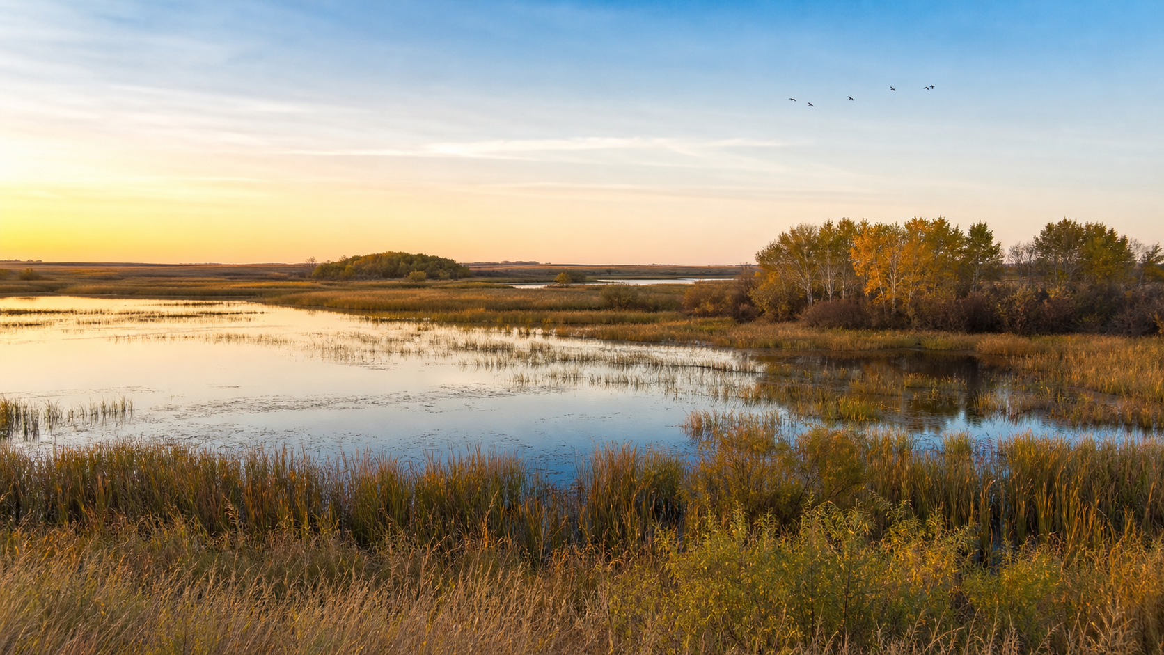
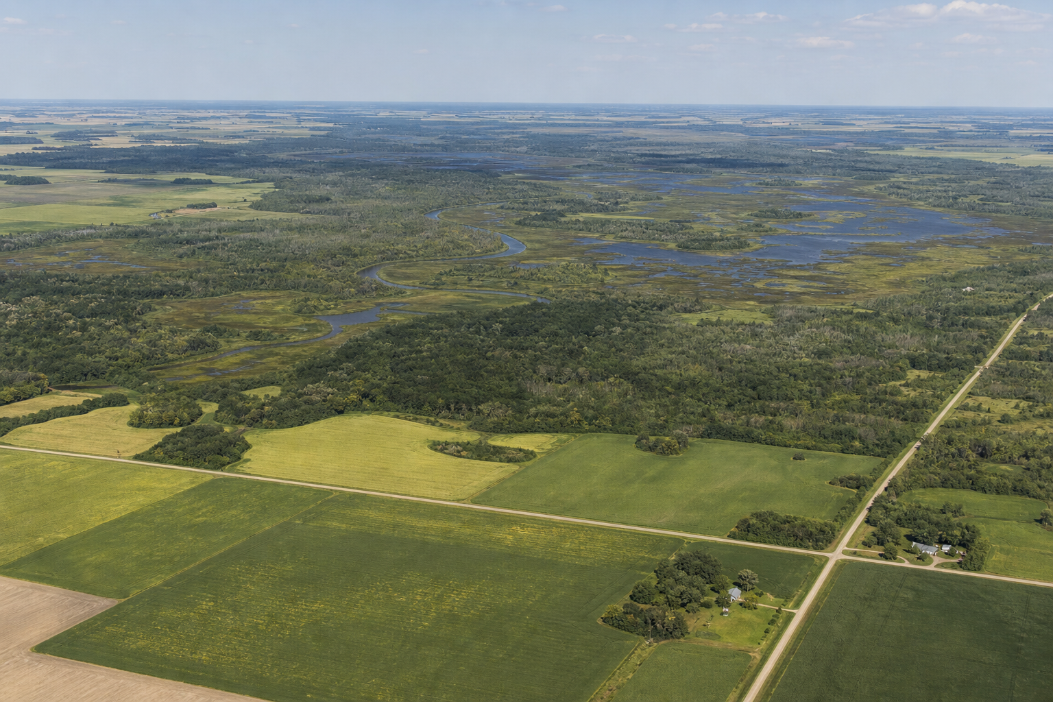
Marshall County stretches from the Red River of the North across open farm country to an immense eastern mosaic of shallow basins, peatland, sedge marsh and aspen. Warren anchors the west; Middle River and Grygla orient the wildlife country farther east. Here, named lakes often belong to managed marsh systems, so begin with the exact DNR identity and land manager—not an assumption about beaches, launches or fishing.
Accessible orientation
The Red River forms the county’s western edge. The Snake and Middle rivers cross the agricultural middle, while the Thief River, Mud River and major shallow basins organize the wetland-rich east. Warren, Newfolden, Middle River and Grygla are useful road bearings. An official map shows identity and boundaries; it does not grant access or override refuge and WMA rules.
Canonical named-lake discovery
These records use names and numbers from the Minnesota DNR county Public Waters Inventory. Unnamed records are excluded. The original inventory is a historical reference; confirm current boundaries, access and rules in official DNR or federal resources before travel.
DNR lake ID 45000100
Thief Lake is a named basin in the county’s northern wildlife landscape. Its public-water identity does not by itself establish access or permitted recreation.
Continue to the lake directoryDNR lake ID 45000200
Mud Lake is a separate broad basin in the eastern wetland complex. Use its exact DNR number to avoid similarly named waters elsewhere.
Continue to the lake directoryDNR lake ID 45000400
Webster Lake is a distinct named basin in Whiteford Township, separate from nearby managed pools and wetlands.
Continue to the lake directoryDNR lake ID 45000600
Elm Lake is a separate named public-water basin near the county’s southeast, not a generic label for surrounding WMA wetlands.
Continue to the lake directory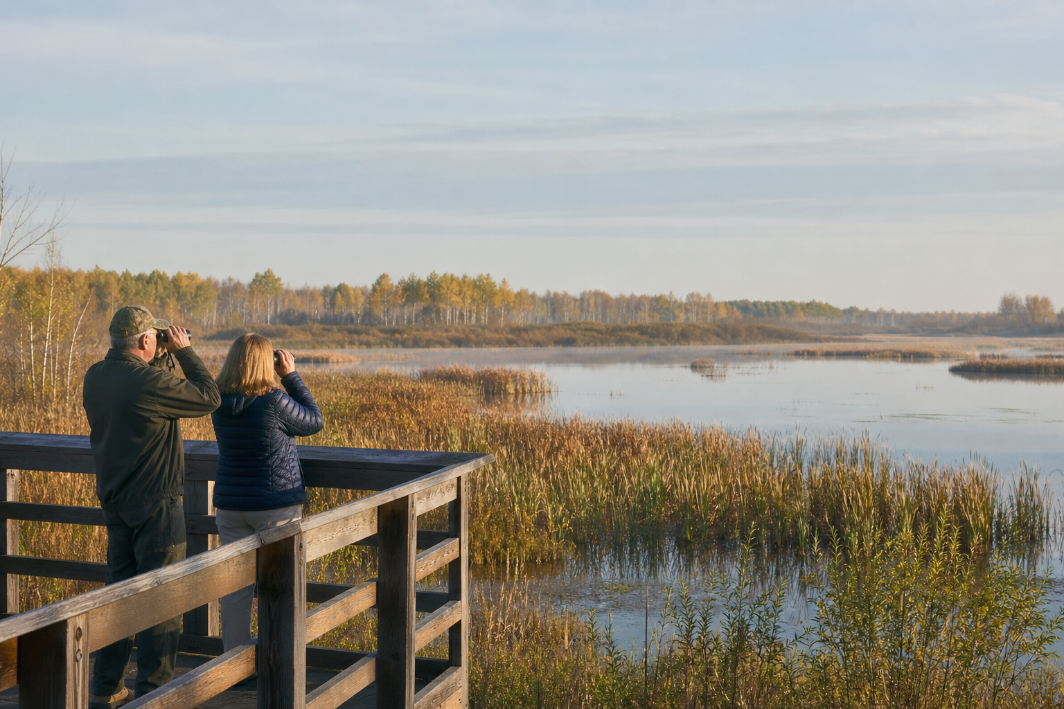
Fishing and recreation pathways
LakeFinder identifies state water records, but land-management rules determine what visitors may do. Agassiz National Wildlife Refuge prohibits fishing on refuge lands and waters and generally prohibits watercraft. Thief Lake WMA has separate state rules. Never infer a launch or fishery from a basin name.
Search by exact DNR number, then check current fishing regulations, any special regulation and the authority governing the water or access. Conditions and rules can change.
Check Minnesota fishing regulationsAgassiz offers a seasonal habitat drive, three designated trails and observation points. General visitor rules prohibit camping, fishing and watercraft; hours and route availability can change with conditions.
Check Agassiz visitor guidanceThe DNR inventory identifies the Red, Tamarac, Snake, Middle, Thief, Moose and Mud rivers as county public-water courses. Verify access, flows and current conditions before any outing.
Explore Minnesota rivers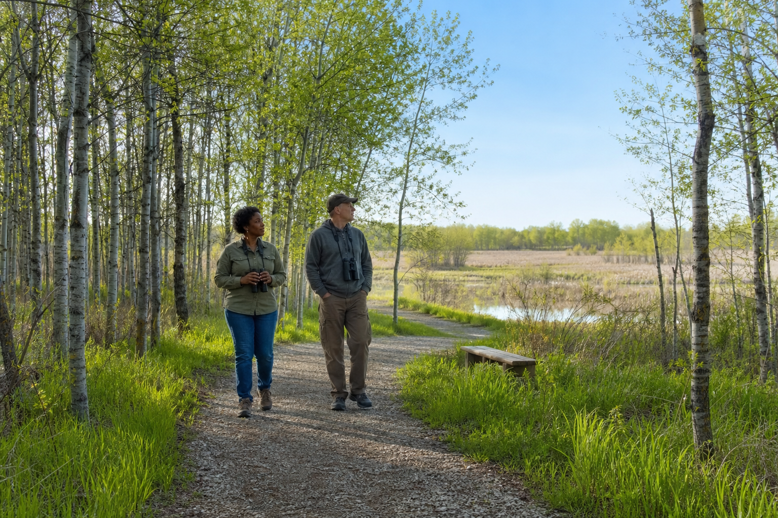
Agassiz lists three designated hiking trails, including accessible crushed-rock routes, plus the Lost Bay Habitat Drive. Thief Lake WMA manages a separate state wildlife landscape. Confirm the correct manager, boundary, season and permitted use before setting out.
Check Thief Lake WMACommunities and seasons
Warren, Argyle, Stephen, Newfolden, Middle River and Grygla are verified community bearings, not stand-ins for invented attractions. Use official community, county and land-manager calendars for current programs. No event is listed here because a durable official date was not established for this edition.