DNR lake ID 49007900
Alexander Lake
Alexander Lake is the inventory’s 49-79 basin in the county’s northwest lake district. Its exact DNR number separates it from other Minnesota waters named Alexander.
Continue to the lake directory
Northwest Minnesota · Mississippi crossings, forest lakes and river history
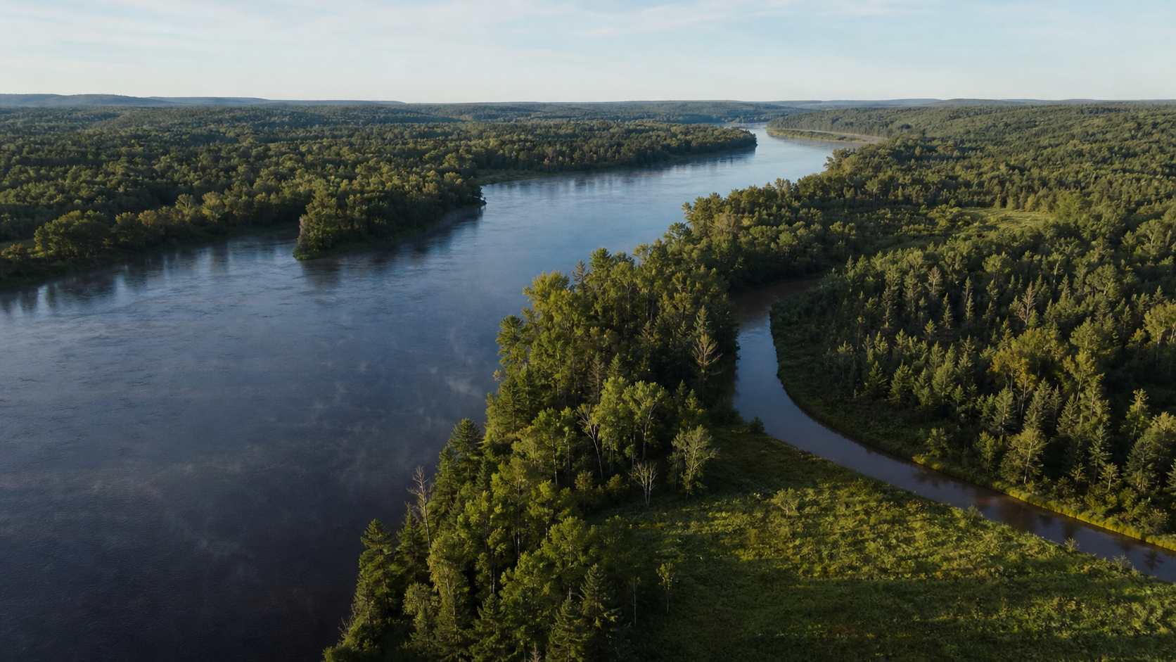
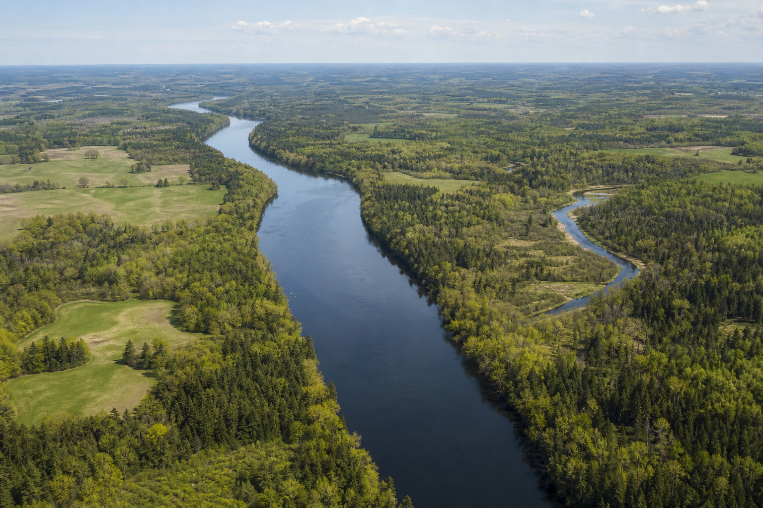
The Mississippi River is Morrison County’s organizing line: it passes Camp Ripley, divides Little Falls and meets tributaries including the Crow Wing, Little Elk, Pike Creek and Swan. West of the river, Alexander, Shamineau and Fish Trap anchor a wooded lake district; east and south, farms, smaller lakes and river towns broaden the picture. Build a trip around exact water identities, verified access and the river’s living cultural landscape.
Accessible orientation
Little Falls is the central river crossing and practical orientation point. Motley sits near the Crow Wing and Long Prairie river country to the northwest; Royalton marks the southern Mississippi corridor. The Alexander–Shamineau–Fish Trap group lies west of the river. Official maps establish water identity and boundaries, but they do not grant access across private or restricted land.
Canonical named-lake discovery
These records use names and numbers from the Minnesota DNR county Public Waters Inventory. Unnamed records are excluded. The original inventory is a historical reference; confirm current boundaries, access and rules in official DNR or federal resources before travel.
DNR lake ID 49007900
Alexander Lake is the inventory’s 49-79 basin in the county’s northwest lake district. Its exact DNR number separates it from other Minnesota waters named Alexander.
Continue to the lake directoryDNR lake ID 49012700
Shamineau Lake is the distinct 49-127 public-water basin west of the Mississippi corridor. Confirm the exact access and current conditions before travel.
Continue to the lake directoryDNR lake ID 49013700
Fish Trap Lake is basin 49-137, linked to Fish Trap Creek in the county inventory. A named water record alone does not establish a launch or current fishery.
Continue to the lake directoryDNR lake ID 49003600
Sylvan Lake is basin 49-36 in northern Morrison County. Use the full DNR identity to avoid similarly named lakes elsewhere in Minnesota.
Continue to the lake directory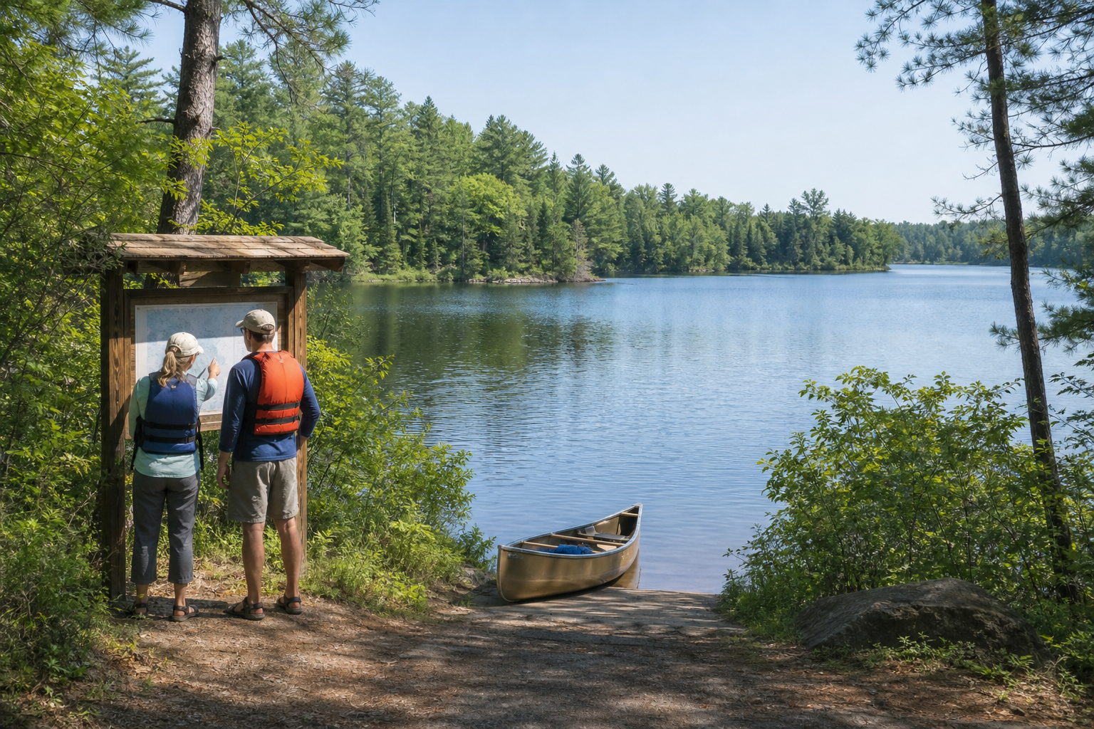
Fishing and recreation pathways
LakeFinder is the starting point for surveys and special regulations, while access listings and land-manager pages answer different questions. Charles A. Lindbergh State Park brings Pike Creek, the Mississippi, camping and trails together near Little Falls; its Little Elk Unit reaches the Little Elk–Mississippi confluence.
Search by exact DNR number, then check current fishing regulations, any special regulation and the authority governing the water or access. Conditions and rules can change.
Check Minnesota fishing regulationsThe current park guide lists drive-in, cart-in and group camping, fishing on the Mississippi, canoe rental for Pike Creek and a 2.4-mile Hiking Club loop. Check reservations, services and current notices before arrival.
Check Charles A. Lindbergh State ParkThe county inventory identifies the Mississippi, Crow Wing, Long Prairie, Little Elk, Pike Creek, Swan and Platte systems. Verify legal access, water levels, hazards and a take-out before every river outing.
Explore Minnesota rivers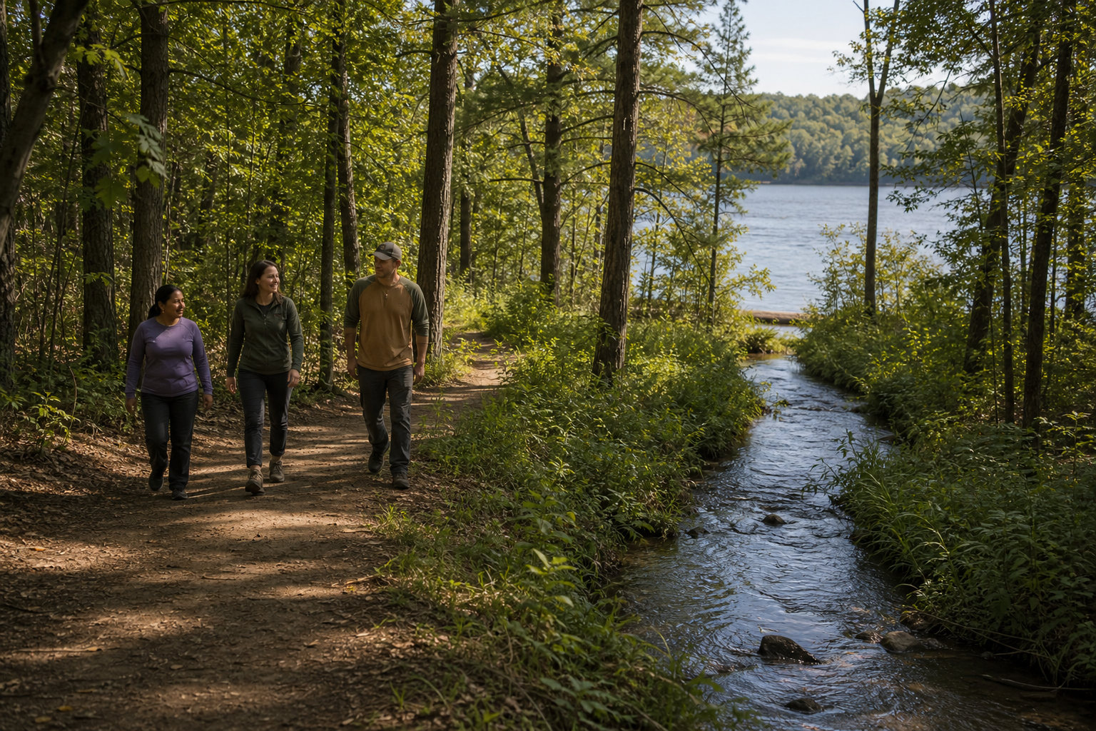
The paved 1.4-mile Camp Ripley/Veterans State Trail connects Charles A. Lindbergh State Park with Mill Park in Little Falls along the west side of the Mississippi. DNR lists hiking, bicycling, in-line skating and accessible use; winter trails are not groomed or packed.
Check the state trailCommunities and seasons
Little Falls, Motley, Royalton, Pierz, Upsala and Swanville are verified community bearings. Near the state park, the Charles Lindbergh House and Museum and the Morrison County Historical Society’s Weyerhaeuser Museum extend the river story into aviation, settlement and lumber history. Check each institution directly for current hours and programs; no dated event is presented as permanent content.