Skip to content

Northwest Minnesota · the Red Lake River, Thief River and prairie wetlands

Pennington County

Pennington County is river country with one named lake in the official public-waters inventory. Thief River Falls grew where the Thief River meets the Red Lake River; westward, Goose Lake and the Black River wetlands open into a flatter prairie landscape. Start with those exact identities, then verify access and conditions before leaving home.

Accessible orientation

Use the two-river meeting as your compass

Thief River Falls is the county seat and the clearest service and orientation point. The Red Lake River crosses the county from east to west; the Thief River approaches from the north and joins it in the city. Goose Lake lies on the western county edge. Goodridge is the other incorporated city shown on the maintained MnDOT county map.

  1. Center: begin at Thief River Falls to understand the river junction and city parks.
  2. East–west: follow the Red Lake River corridor only with current water-trail and access information.
  3. West: identify Goose Lake by DNR public-water number 57-1; do not confuse nearby wetlands or cross-county waters with county lakes.
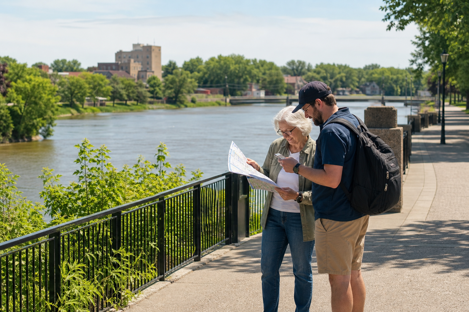
Two adults compare a map and phone beside a paved, tree-lined river walk
Illustrative two-river orientation; use official maps for navigation, boundaries and access.

Canonical named-water discovery

One named lake—and a managed river reservoir

The Minnesota DNR final public-waters inventory identifies Goose Lake, number 57-1, as Pennington County’s one named lake. It also lists Black River WMA as a protected water, not as a lake. Unnamed wetlands and watercourses are excluded. Separately, DNR fisheries identifies Red Lake River Reservoir at Thief River Falls as a managed fishing water.

DNR public-water number 57-1

Goose Lake

Goose Lake spans the western county boundary in the official inventory. It keeps one canonical identity; its boundary does not create duplicate county lake pages. Confirm the exact water and any legal access through maintained DNR mapping.

Continue to the lake directory
DNR fisheries ID 57005100

Red Lake River Reservoir

DNR fisheries lists this reservoir at Thief River Falls as Pennington County’s managed lake-style fishery. It remains a river-reservoir identity, not a second natural lake in the county public-waters count.

Explore Minnesota rivers
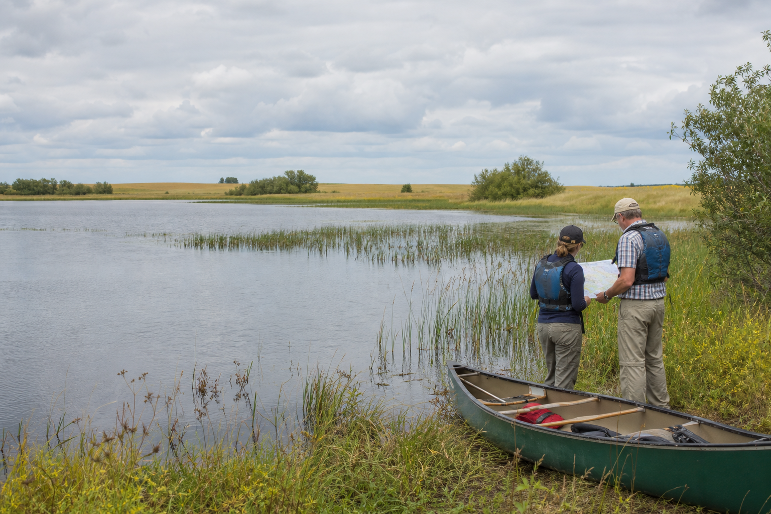
Two adults in life jackets identify a shallow prairie-margin lake beside a grounded canoe
Illustrative prairie-lake identification scene; not an exact access or current condition report.

Fishing and recreation pathways

Plan around rivers, maintained access and current rules

The Red Lake River is an official state water trail through Thief River Falls. DNR’s Pennington access map shows fishing and launch points, while LakeFinder and current fishing regulations supply water-specific details. A mapped point never guarantees present operability, parking or safe conditions.

Check the reservoir fishery

Search the Red Lake River Reservoir by full DNR fisheries ID 57005100, then check current regulations, surveys, consumption guidance and notices before fishing.

Open official area fisheries information

Read the water-trail segment

The Red Lake River trail has separate mapped segments on either side of Thief River Falls. Review the official segment, water levels, dams, portages, obstructions and take-out before launching.

Open the Red Lake River water trail

Verify every access

DNR’s county access sheet is the authoritative starting point for mapped fishing piers and boat launches. Recheck a specific facility and on-site signs before relying on it.

Open the official access map
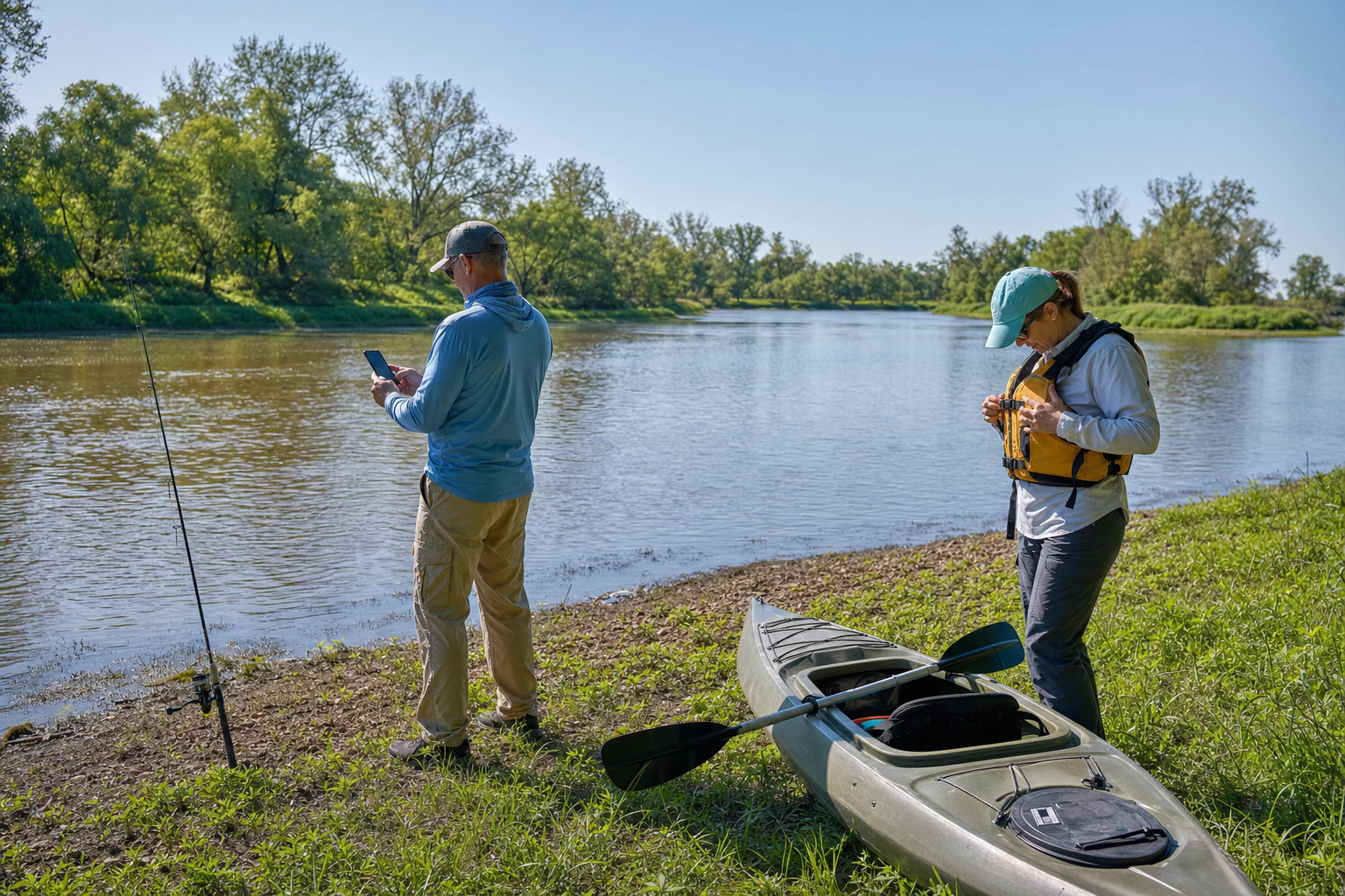
An angler checks a phone while another adult fastens a life jacket beside a kayak on a broad riverbank
Illustrative river preparation; not an exact access, regulation or condition report.

Walk the city’s river history

Thief River Falls’ official River Walk brochure connects nine parks and three forest trails along the Red Lake and Thief rivers, with 18 interpretive pictographs. Use the maintained city map for the route; trail condition and facility availability still need a current check.

Open the official River Walk brochure

Communities, culture and seasons

Make Thief River Falls the checked base

Thief River Falls and Goodridge are the county’s incorporated city bearings. The River Walk provides the clearest verified culture-and-trail connection; no campground or recurring event is presented without a maintained official record. Use the site’s Events path to check dated listings rather than assuming an annual schedule.

  • Spring: check river levels, flood conditions, trail surfaces and seasonal road restrictions.
  • Summer: confirm legal access, life jackets, licenses, aquatic-invasive-species steps and a take-out.
  • Fall: check hunting seasons and blaze-orange guidance before entering public wildlife lands.
  • Winter: stay on verified land routes and treat every ice decision as local and time-sensitive.
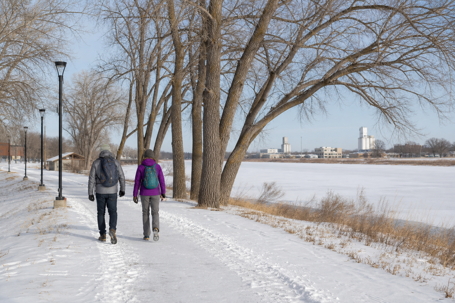
Two adults walk on a snow-covered land trail beside a frozen-looking city river
Illustrative land route; never evidence of safe ice or current trail conditions.