DNR lake ID 63000100
Moran Lake
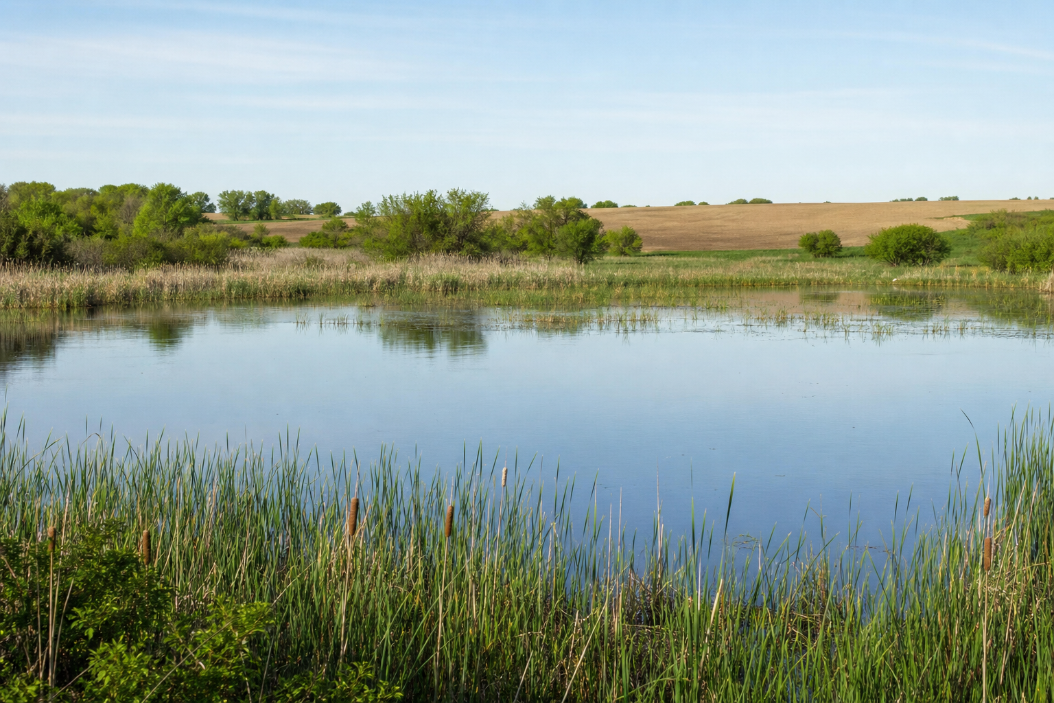
Moran Lake is protected-water number 63-1 in Louisville Township. The inventory verifies identity and location—not an access, fishery, depth, or present condition—so unsupported visitor claims stay hidden.

Northwest Minnesota · two rivers and one verified local named lake
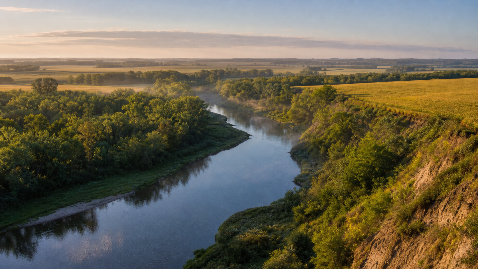
Red Lake County is river country. The Red Lake River cuts west past wooded, eroded banks at Red Lake Falls, where the Clearwater River joins it; beyond the valleys, roads cross open farm country toward Brooks, Oklee and Plummer. The official public-waters inventory identifies one local named lake—Moran Lake—so this guide keeps that count honest and makes the rivers the center of a careful day outside.
Accessible orientation
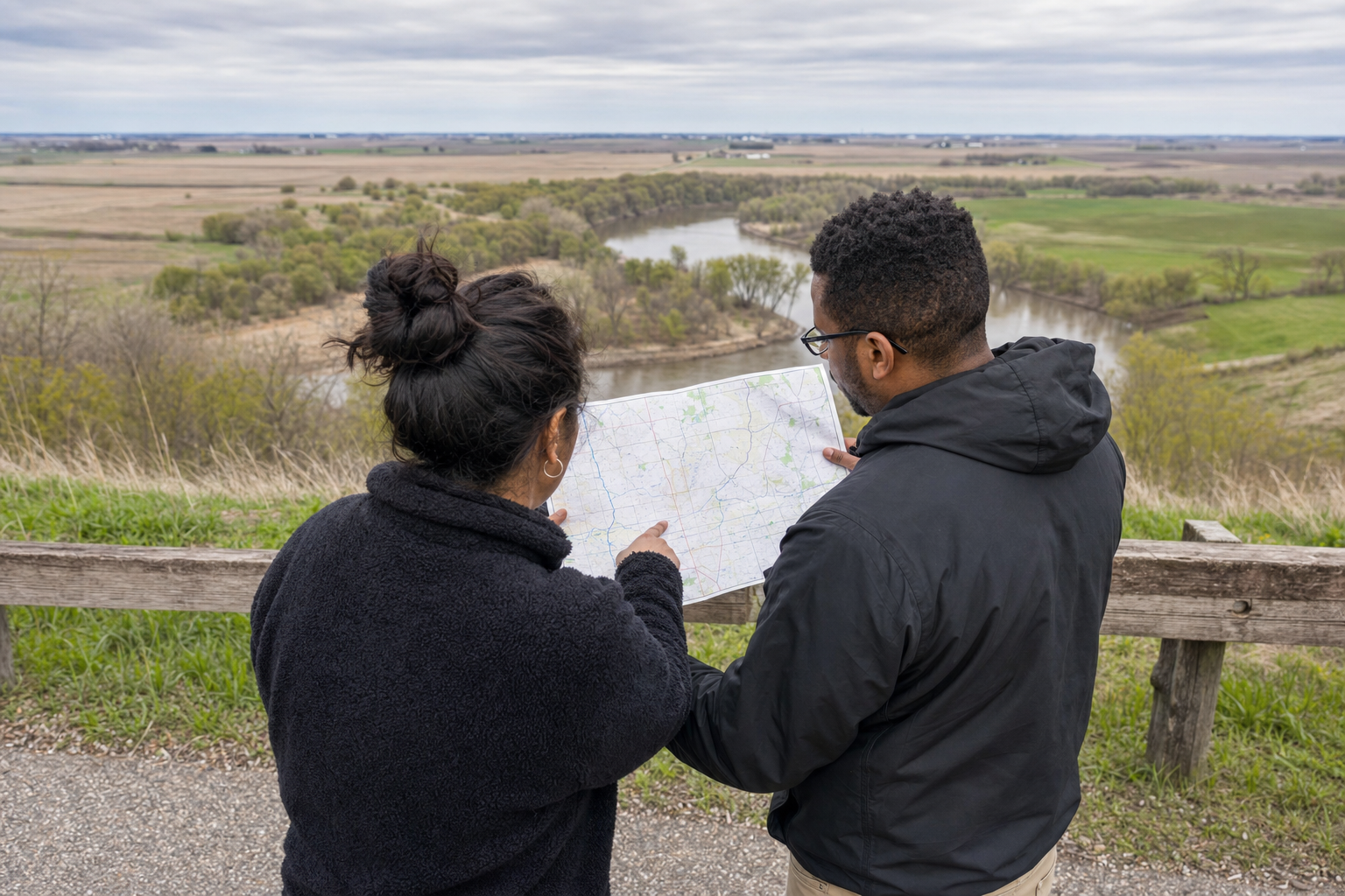
Red Lake Falls is the county seat near the Red Lake–Clearwater river junction. U.S. 59 and Minnesota 32 form the principal north–south bearings; Minnesota 92 runs through Brooks and Oklee, while Plummer lies north on 59. The maintained MnDOT map shows municipalities, roads, rivers and public-land context without requiring a visual map on this page.
Canonical named-water discovery
The DNR final public-waters inventory lists Moran Lake as the county’s only locally numbered named lake. It also lists Goose Lake across county context; Goose keeps its single canonical identity under Pennington County. Unnamed waters are excluded.
DNR lake ID 63000100
Moran Lake is protected-water number 63-1 in Louisville Township. The inventory verifies identity and location—not an access, fishery, depth, or present condition—so unsupported visitor claims stay hidden.
The state water trail passes Red Lake Falls through steep wooded banks and erosion features. The DNR access sheet lists Huot Park and Voyageur’s View in Red Lake County; check current conditions and obstacles before launching.
The protected-water inventory traces the Clearwater River to its Red Lake River junction. The current county access sheet lists a concrete ramp at Sportsman Park, but mapped facilities still require a same-day condition check.
Fishing, paddling and local stops
DNR identifies channel catfish angling near Red Lake Falls and the Clearwater junction, while its water-trail guidance documents changing banks, flow and obstacles. Treat each access as a planning lead, wear a life jacket, arrange a downstream pickup and check current regulations.
Use current DNR fishing regulations and water-specific information before casting. A species list or popular reach never guarantees a catch, safe bank footing or legal access.
Prepare for fishingReview the state water-trail map, hazards and water level; choose a segment within the group’s ability; carry communication and rescue gear; and never assume a mapped landing is usable today.
Open the official water-trail guideRed Lake Falls, Brooks, Oklee and Plummer are the incorporated communities shown by MnDOT. Check the current MinnesotaLakes event record before making any dated festival, museum or cultural program the reason for travel.
Check verified events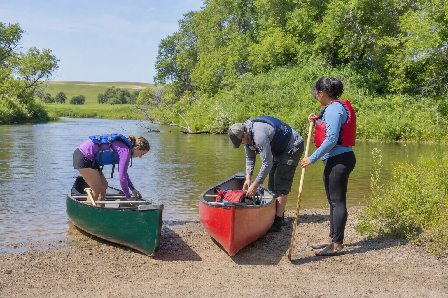
This guide does not promise a campsite. Search current public operator records for parks and campgrounds, then confirm dates, reservations, drinking water, sanitation, fire rules, accessibility and river conditions directly before arrival.
Explore recreationFour-season planning