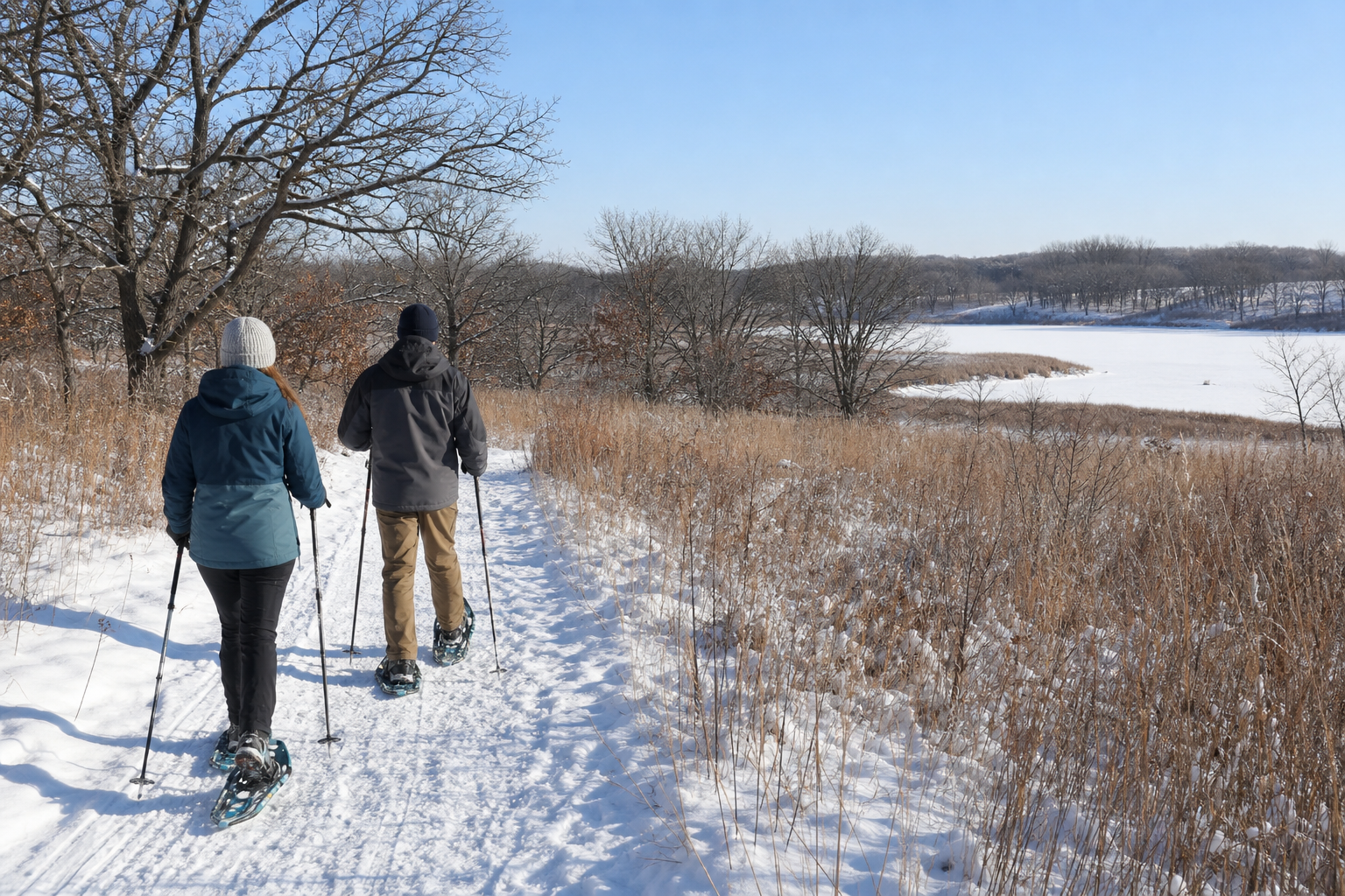
DNR lake ID 71001600
Fremont Lake
A distinct official lake identity in Livonia Township near the Zimmerman side of the county. Confirm current access and fishery details before a water-based visit.

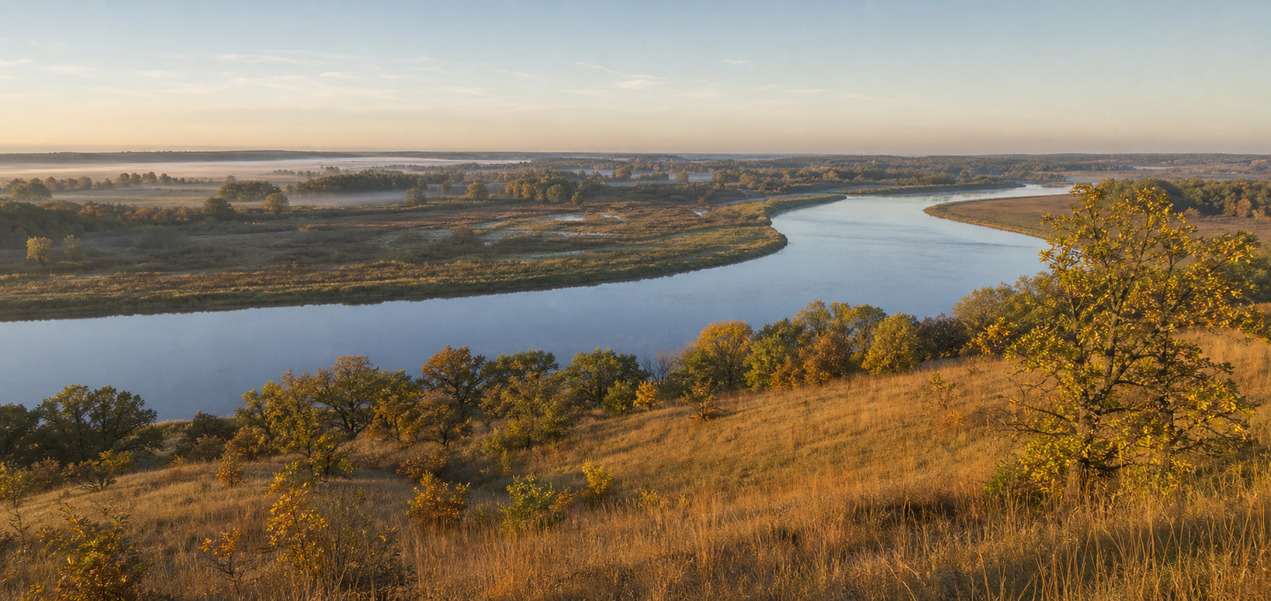
Northwest Minnesota · river corridors, sandy oak country and refuge wetlands
Sherburne County is a meeting place rather than a northwoods stereotype. The Mississippi River defines its southwestern edge, the Elk and St. Francis rivers cross its interior, and an official catalog of named lakes leads toward Sand Dunes State Forest and Sherburne National Wildlife Refuge. Use this guide to connect exact lake identities with public-land plans, then verify access, seasons and conditions with the responsible agency.
Accessible orientation
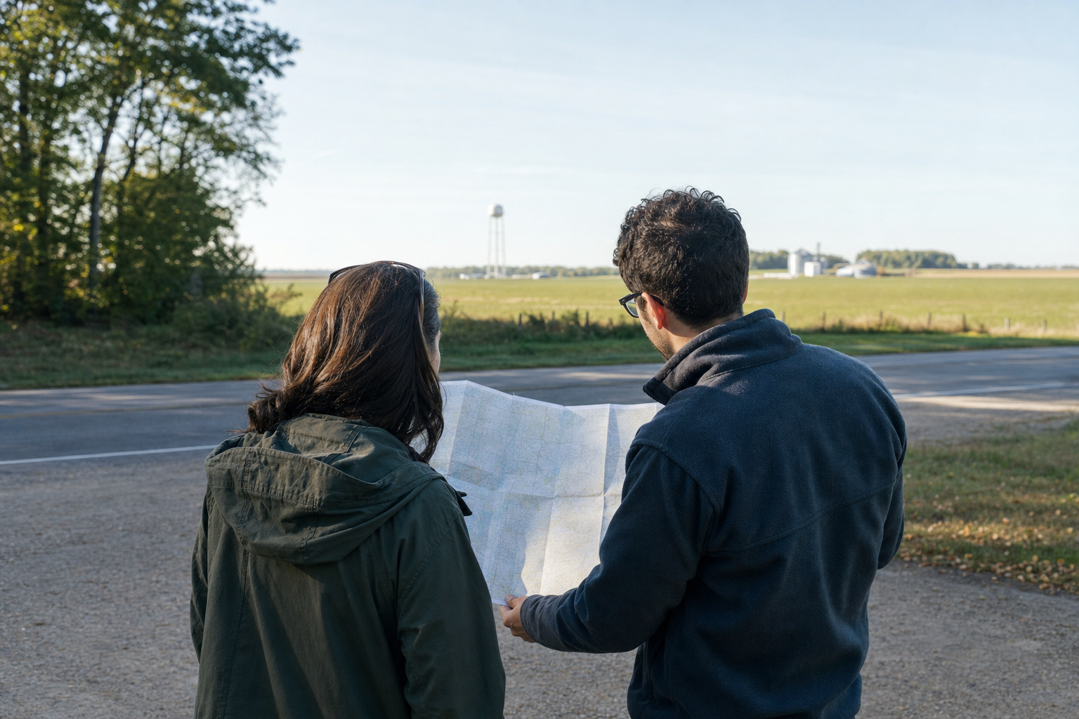
Elk River, Big Lake and Becker form a useful US 10 corridor; Zimmerman and Princeton orient the US 169 side; Clear Lake sits near the county’s western river edge. MnDOT’s maintained county map shows these communities, major roads, the Mississippi, Elk and St. Francis rivers, and mapped lakes. For a refuge, forest, campground or launch, change to the current operator map before the final turn.
Canonical named-lake discovery
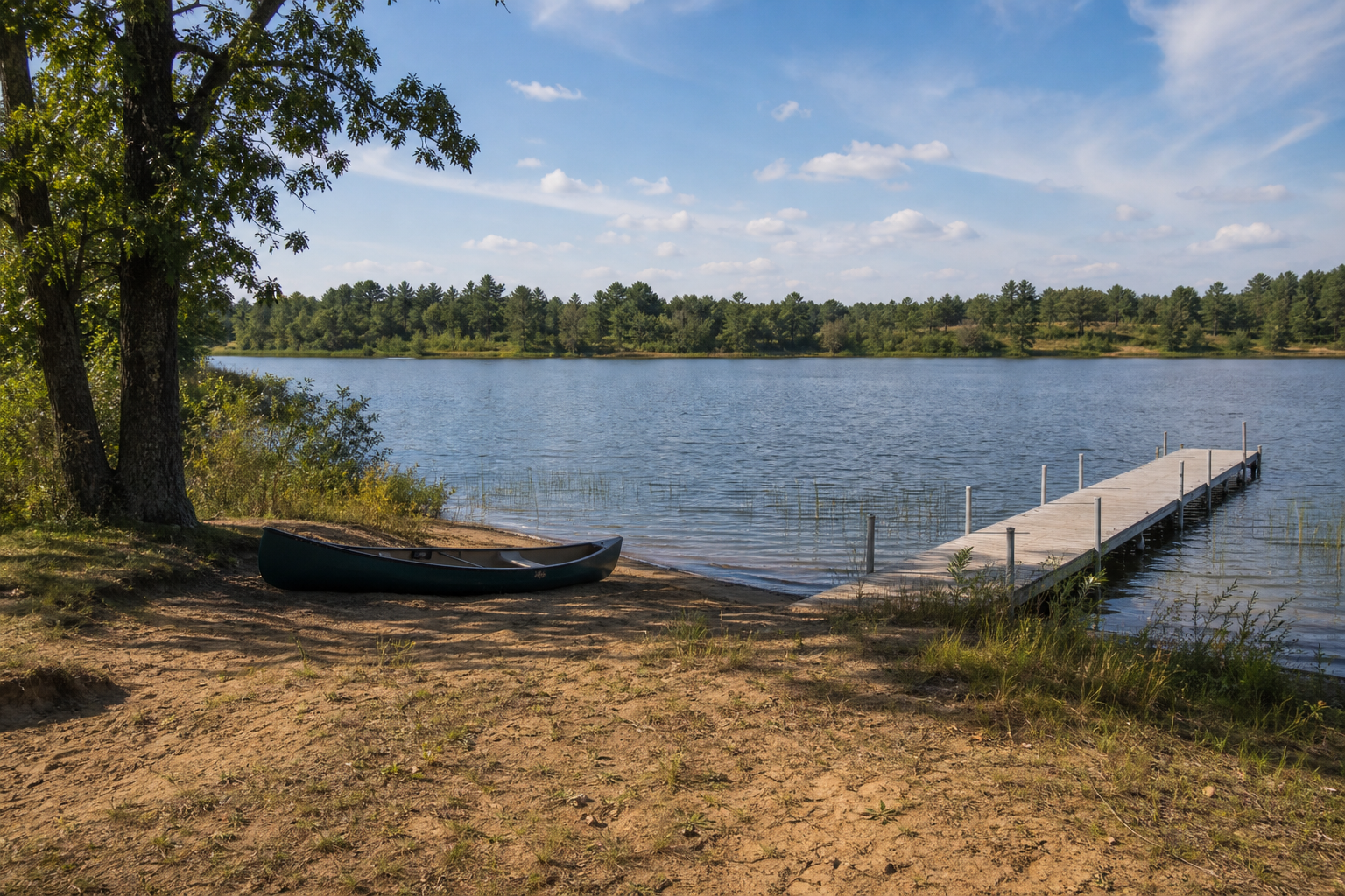
The county’s final DNR inventory contains many named waters and repeated names. This guide features Fremont, Ann, Big and Briggs lakes by complete DNR number. It excludes every Unnamed record. The inventory proves identity and location; it does not by itself prove a public launch, fish population or present condition.
DNR lake ID 71001600
A distinct official lake identity in Livonia Township near the Zimmerman side of the county. Confirm current access and fishery details before a water-based visit.
DNR lake ID 71006900
The named lake beside the Bob Dunn Recreation Area in Sand Dunes State Forest. DNR lists a campground, day-use area, swimming, pier and nearby ramp; verify current notices and fees.
DNR lake ID 71008200
A canonical named-water identity spanning mapped sections of Big Lake Township. Use the DNR number to distinguish it from Minnesota’s many other waters called Big Lake.
DNR lake ID 71014600
One of the inventory’s Palmer Township lake identities. Keep Briggs separate from nearby Rush, Julia and Rice lakes and verify each water by number.
Forest, refuge, river and fishing pathways
Sand Dunes State Forest combines the Ann Lake recreation area with sandy oak savanna, prairie and pine plantation. Sherburne National Wildlife Refuge protects a St. Francis River basin mosaic of prairie, oak savanna, forest, wetlands and river habitat. Both are public destinations with their own current rules; neither is a promise of open routes or wildlife sightings.
DNR lists a 36-site Ann Lake Campground in the Bob Dunn Recreation Area, along with day use, four miles of hiking and longer horse and snowmobile trail systems. Check fees, fire restrictions and route status.
Open the official forest pageUse LakeFinder and current regulations for water-specific survey, access and rule information. A lake name, mapped shoreline or fishing pier never guarantees a catch or usable launch.
Prepare for fishingUse Elk River, Big Lake, Becker, Zimmerman, Clear Lake and Princeton as mapped planning bearings. Build any fair, festival or cultural stop only from a current, sourced event record.
Check verified events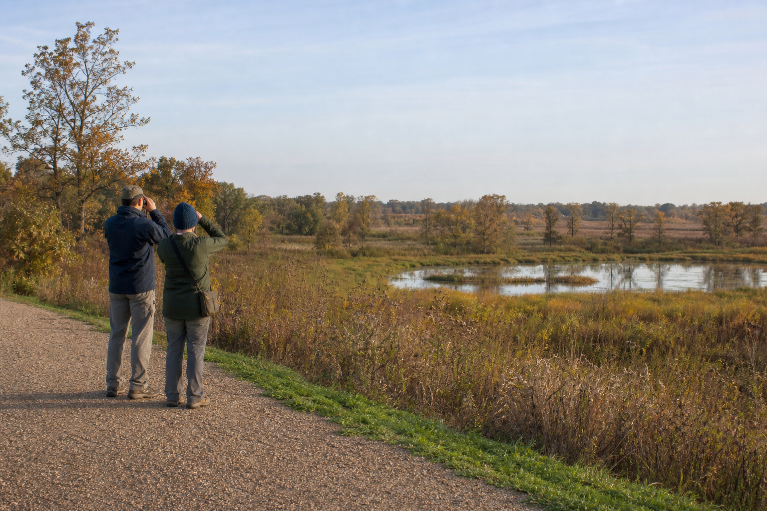
The U.S. Fish and Wildlife Service describes a 30,700-acre refuge established in 1965 in the St. Francis River basin. Its trail catalog includes the 0.47-mile crushed-granite Prairie Trail and other routes with different seasons and permitted uses. Check the refuge page and alerts on the day you go.
Explore recreationFour-season planning