DNR lake ID 77008400
Big Birch Lake
The access map lists three DNR concrete launches and a fishing pier around this southeast Todd County basin. Verify the chosen site and current conditions before departure.

Northwest Minnesota · Glacial lakes and the Long Prairie River
Todd County’s water story changes from the broad Lake Osakis basin and Sauk River country in the southwest to the Long Prairie River’s wooded bends and the Crow Wing River at the north edge. This guide connects four exact DNR lake identities with county and state access records, Battle Point Park and a verified river route—without treating a generated scene as proof of a place or present conditions.
Accessible orientation
US 71 runs through Long Prairie and Browerville; US 10 crosses the county’s north through Staples; Interstate 94 reaches the southwest near West Union. Lake Osakis and Sauk Lake anchor the southwest, while Big Birch and Little Birch are southeast of Long Prairie. These are planning bearings only: use the official county and operator maps for the last road, access and seasonal notice.
Canonical named-lake discovery
The canonical shard features Big Birch, Little Birch, Sauk and Osakis by complete eight-digit DNR number. All are named protected-water identities with listed public access. Lake Osakis keeps one canonical identity across Todd and Douglas counties; Unnamed records are excluded.
DNR lake ID 77008400
The access map lists three DNR concrete launches and a fishing pier around this southeast Todd County basin. Verify the chosen site and current conditions before departure.
DNR lake ID 77008900
A separate named identity immediately downstream of Big Birch. The DNR access map lists a concrete launch; the full number prevents confusion with other Birch lakes.
DNR lake ID 77015000
A southwest Todd County lake on the Sauk River system. The official access map lists a DNR concrete launch at Diamond Point; check current notices before moving equipment.
DNR lake ID 77021500 · Todd and Douglas counties
One cross-county lake identity, not two pages. Battle Point County Park provides a Todd County planning anchor; verify the park and access status before travel.
Parks, trail, river and fishing pathways
Todd County operates Battle Point Park and documents its Lake Wobegon Trail segment; the Minnesota DNR maintains lake, access, fishing and Long Prairie River information. Use those operators—not a general recommendation—as the source for hours, closures, water levels and regulations.
Battle Point County Park occupies a peninsula on the east shore of Lake Osakis and the county documents a ramp, fishing pier, pavilion, restrooms and playground improvements. Confirm current facilities and any reservation details directly.
Open Todd County parks and trailsThe access map is a planning snapshot; LakeFinder and current regulations carry water-specific details. Match the full 77-prefix ID, then check special regulations and aquatic invasive species notices.
Prepare for fishingLong Prairie, Browerville, Staples, Clarissa, Eagle Bend, Bertha, Hewitt, Grey Eagle, Burtrum, West Union and Osakis are official map bearings. The county historical society in Long Prairie is a cultural starting point; verify opening hours and event dates.
Check verified events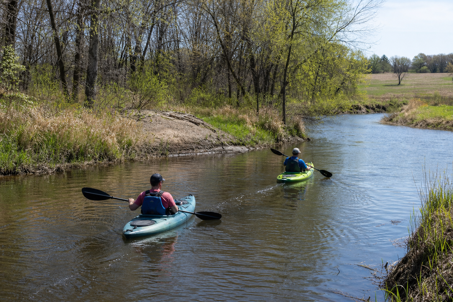
The DNR maps a 13.3-river-mile day trip from the City of Long Prairie carry-in to the City of Browerville carry-in. The same guide warns that summer water can become shallow and that low bridges and culverts may require portaging, so check levels and hazards before launching.
Explore recreation Check the official river guideFour-season planning