DNR lake ID 24001400
Albert Lea
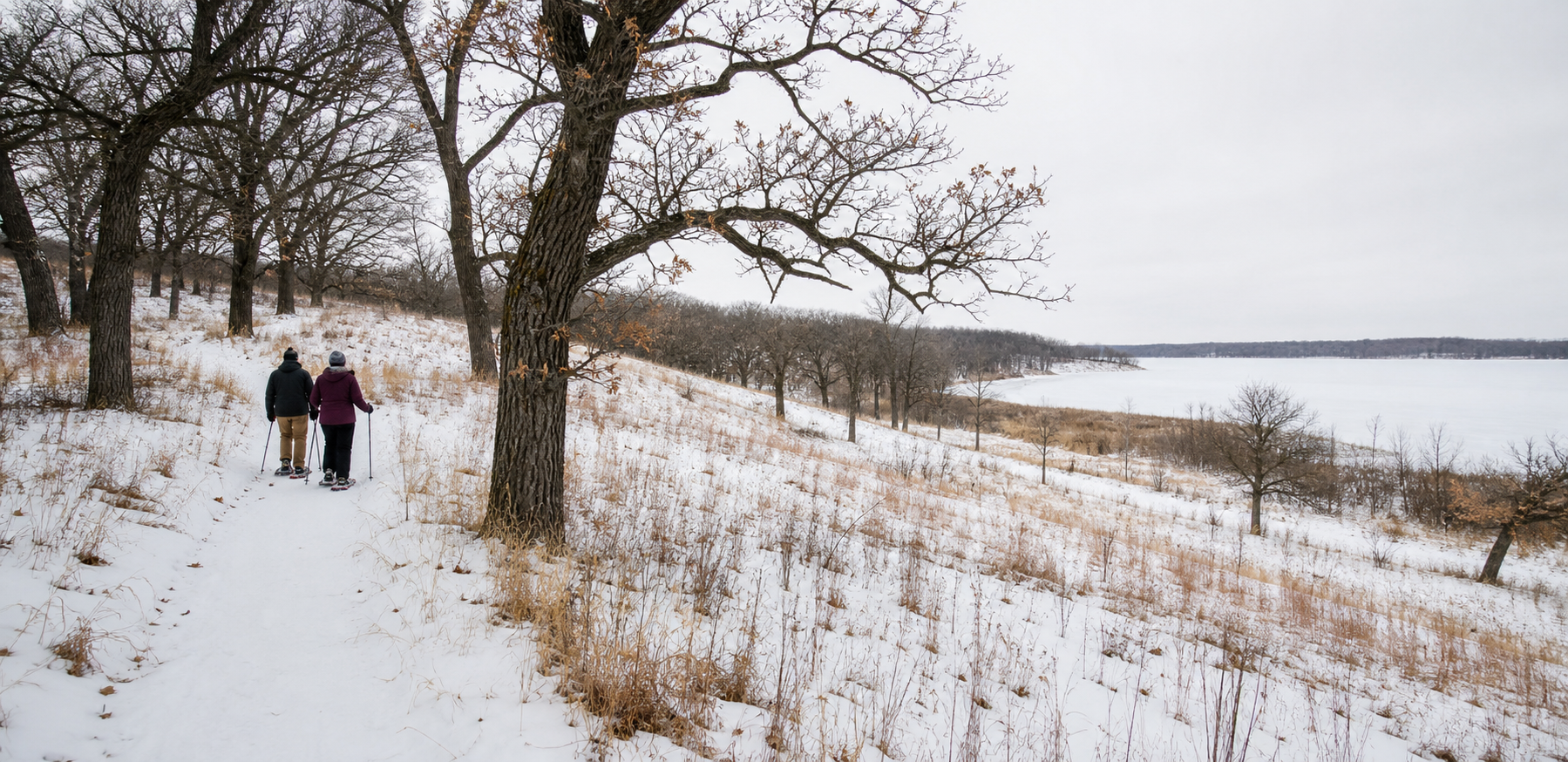
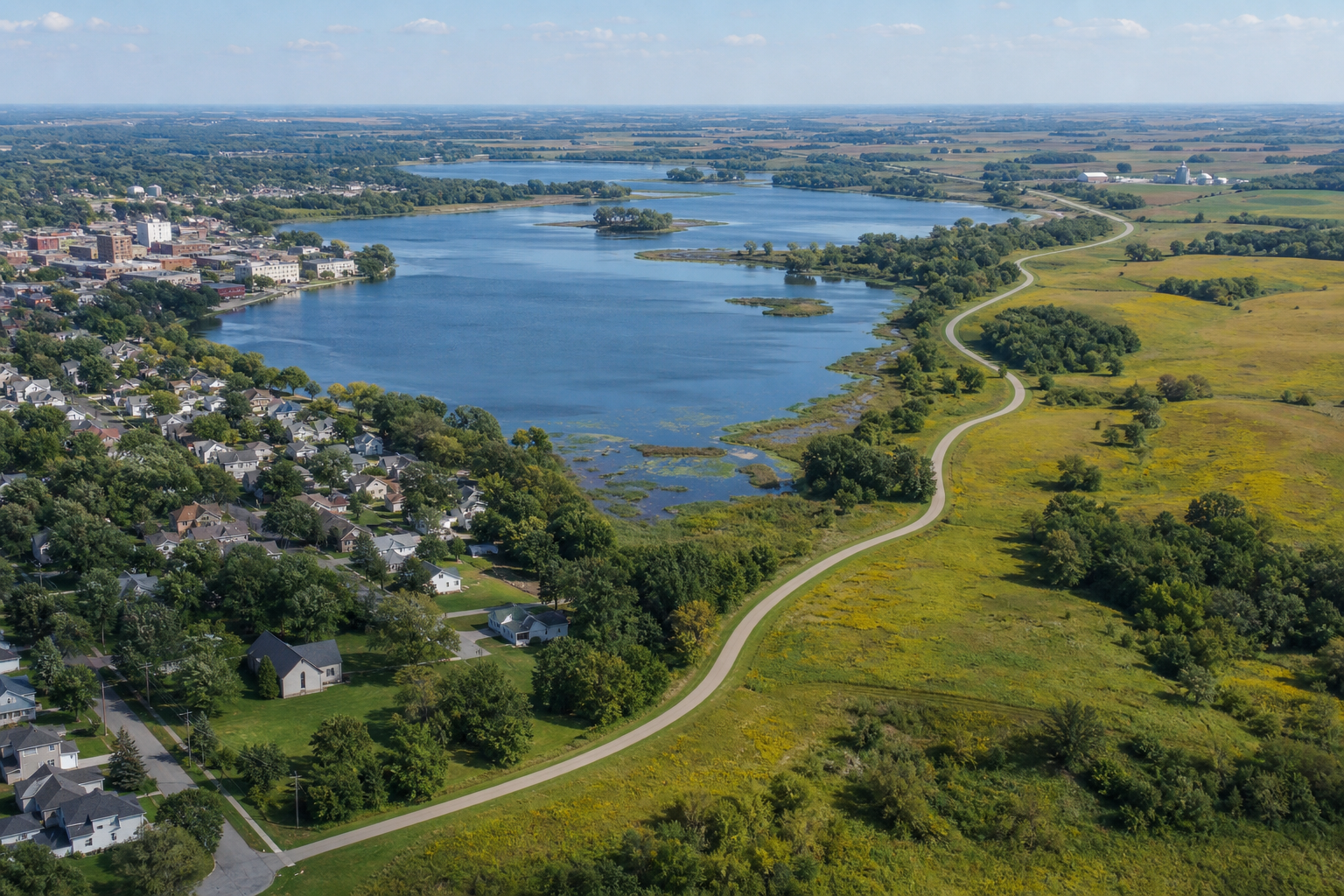
Albert Lea Lake borders Myre–Big Island State Park and carries public accesses at the state park, Frank Hall Park and St. Nicholas Landing.
Continue to the lake directory
Southeast Minnesota · city lakes, prairie and oak savanna
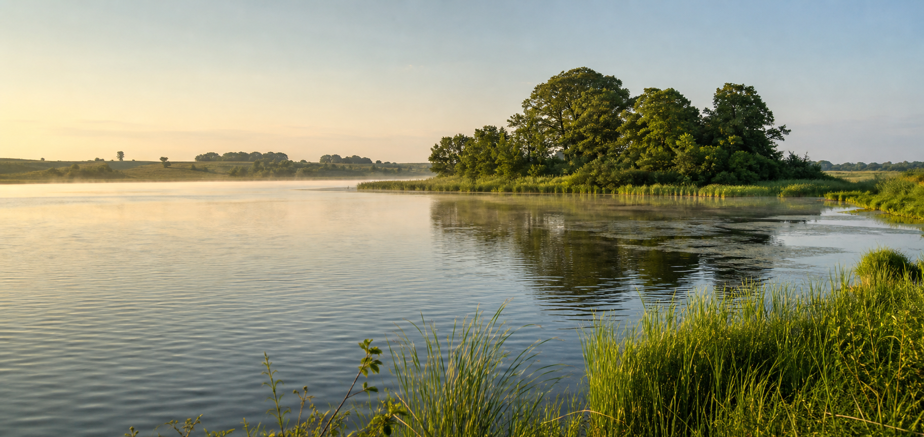
Freeborn County’s lake country meets the city in Albert Lea. Fountain Lake folds into downtown parks, Albert Lea Lake opens east toward Myre–Big Island State Park, and the paved Blazing Star State Trail carries the story onward through prairie and oak savanna to Hayward. Farther west, Freeborn Lake reveals a separate shallow-water restoration landscape.
Accessible orientation
Begin around Fountain Lake in Albert Lea. Frank Hall Park links the city trail system and Blazing Star State Trail; eastward, the route passes Myre–Big Island State Park and crosses Albert Lea Lake before reaching Hayward. Travel west for Freeborn Lake and Arrowhead County Park. Use official maps for navigation and current access ownership.
Canonical named-lake discovery
This versioned starter catalog contains four verified named DNR basins, not a countywide total. Unnamed records are excluded—even when an alternative local name is familiar—and each DNR identity appears once.
DNR lake ID 24001400
Albert Lea Lake borders Myre–Big Island State Park and carries public accesses at the state park, Frank Hall Park and St. Nicholas Landing.
Continue to the lake directoryDNR lake ID 24001800
Fountain Lake sits within Albert Lea, with city-managed accesses and a fishing pier; it is also the headwater lake for the Shell Rock River.
Continue to the lake directoryDNR lake ID 24004400
Freeborn Lake is a large shallow basin south of the city of Freeborn, with county, city and DNR access points documented by official sources.
Continue to the lake directoryDNR lake ID 24002500
Pickeral is the current authoritative DNR basin name. The official county access map labels the familiar access as Pickerel Lake.
Continue to the lake directory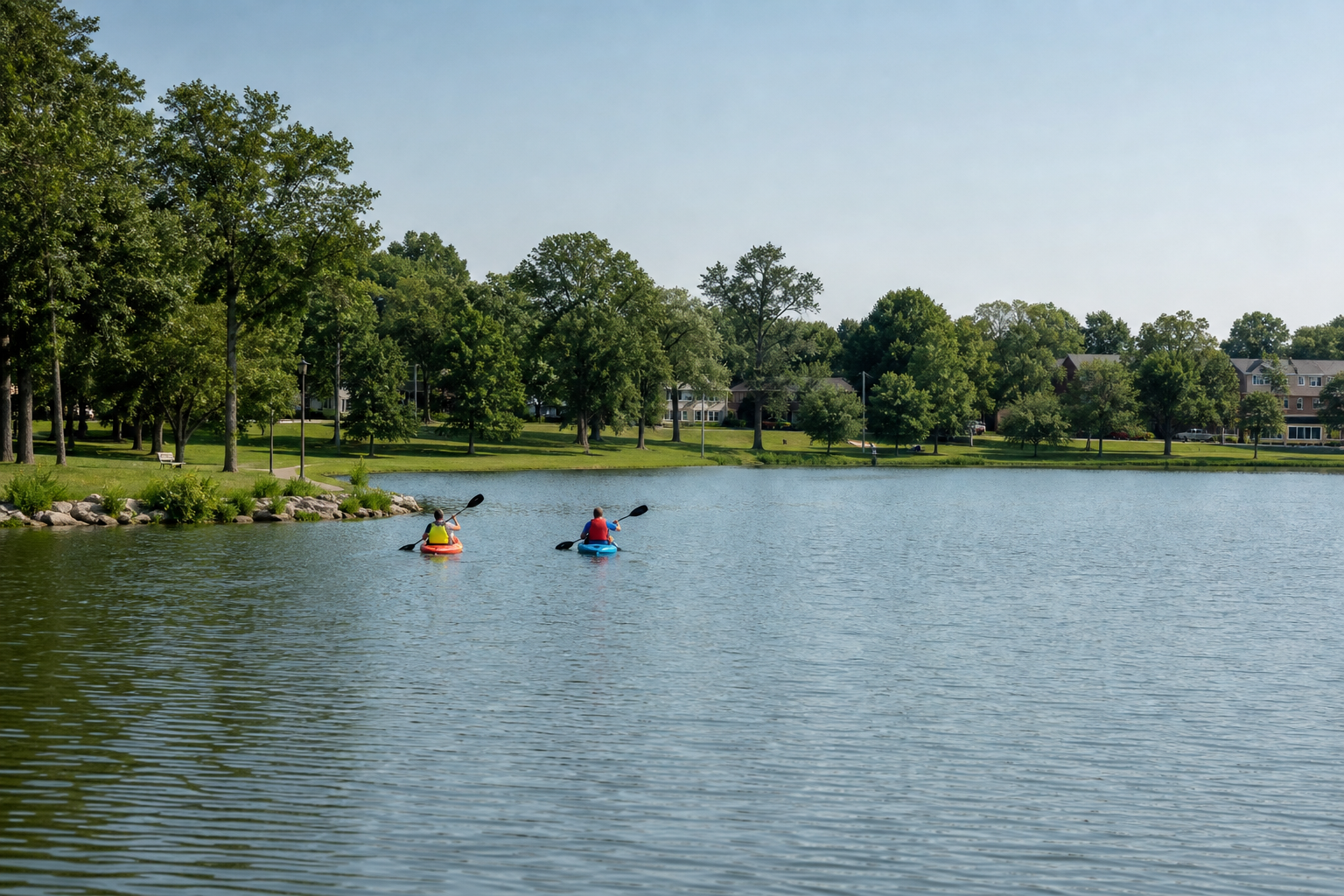
Verified park, trail and river
Access, camping, trail conditions and seasonal hours change. These official anchors establish the relationships; check the responsible manager before departure.
Minnesota DNR manages camping, camper cabins, trails, paddling and fishing opportunities beside Albert Lea Lake. Check alerts, accessibility and reservations on the park page.
Check the state parkThe DNR’s eight-mile paved trail runs from Frank Hall Park in Albert Lea through the state park to Hayward, with links into the city trail network.
Check the state trailThe state water trail begins at Fountain Lake and travels south through central Freeborn County to the Iowa border. Water levels and hazards change; consult the DNR before paddling.
Check the water trail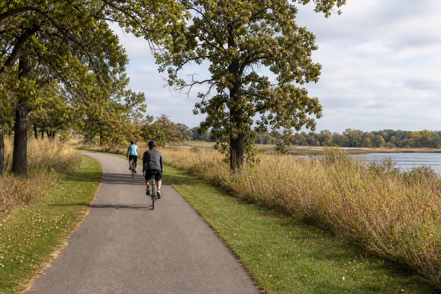
Fishing and clean-water practice
Official access maps identify fishing and boating locations, but species information, regulations, restoration work and ramp conditions can change. Confirm the exact DNR record in LakeFinder, then clean, drain and dispose before moving equipment.
The Blazing Star State Trail follows a corridor of city park, wetlands, oak savanna, big woods and prairie. Its name points to the blazing star flowers found along the route; current park and trail calendars are the reliable source for programs and events.
Four-season planning