Lakes woven into communities
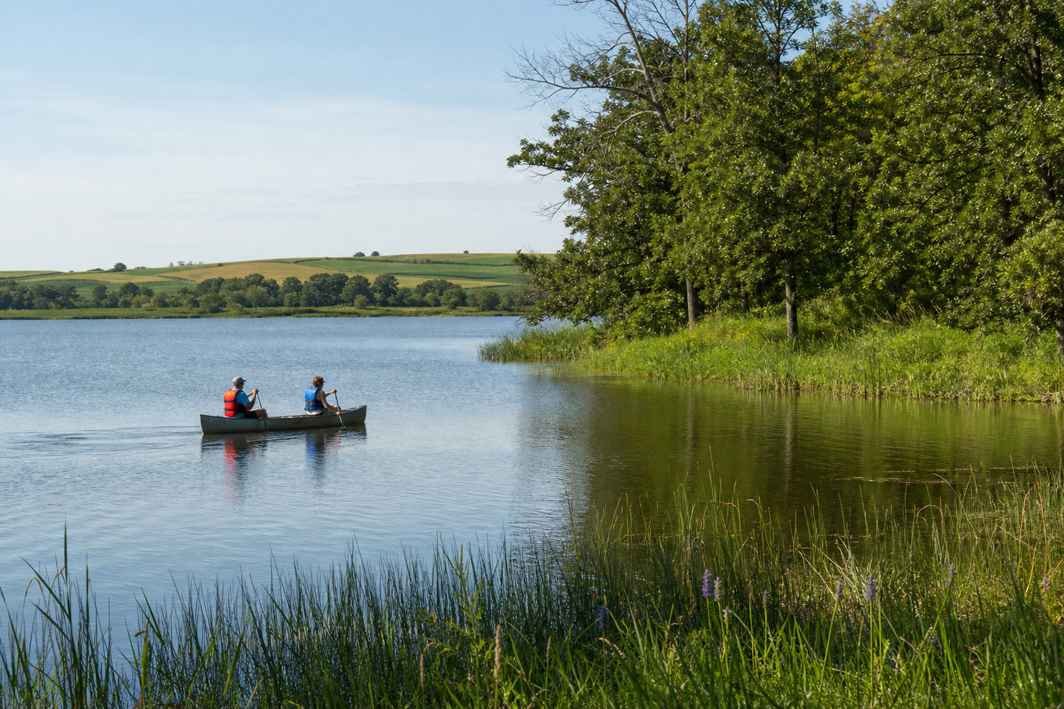
Explore canonical records for Cannon Lake, French Lake, Lake Zumbro, Cedar Lake and Albert Lea Lake. A single public identity is preserved when a named water crosses jurisdictional lines.
Explore named lakes
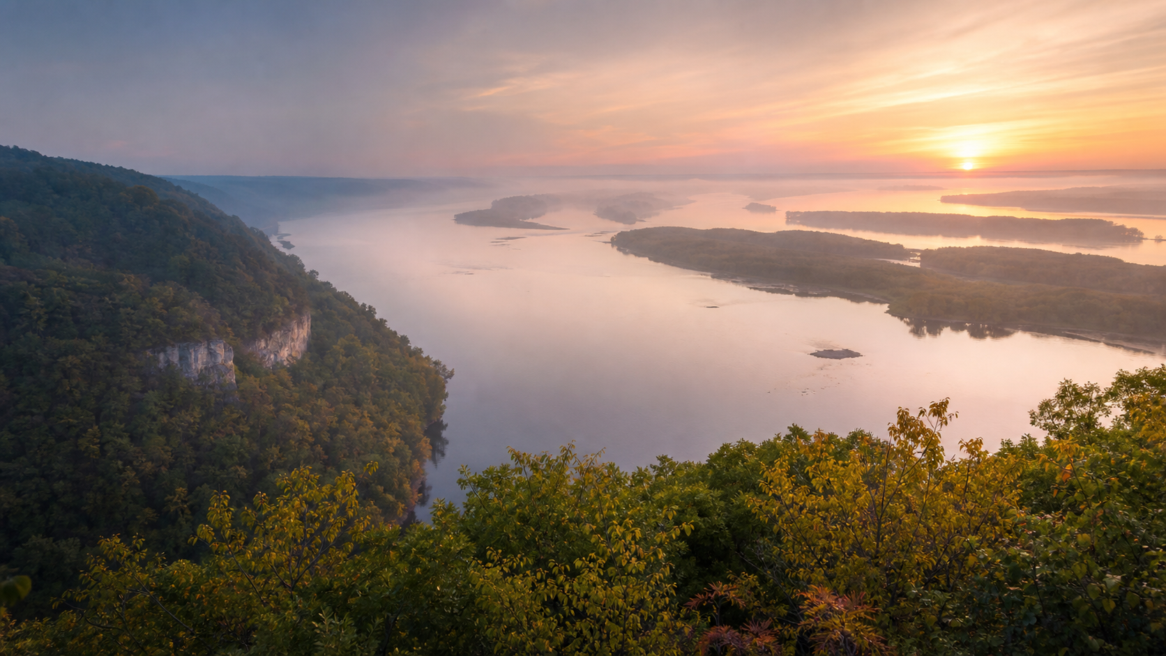
Follow the Mississippi River and its backwaters, enter wooded bluff valleys and cold-water stream country, or turn west toward southern Minnesota lakes and wetlands. Eleven county guides connect named waters, communities, recreation and the official records needed to plan responsibly.
Choose a countyThe Mississippi River floodplain and wooded bluffs shape the region’s eastern edge. In bluff country, groundwater feeds cold streams through valleys that escaped the most recent glaciation; farther west, lakes, wetlands and agricultural watersheds broaden the water story. Use county, lake and watershed records for precise boundaries and current conditions.
Sources: Minnesota DNR Ecological Classification System and trout-stream information; MPCA watershed reports; USGS water resources · official references reviewed July 27, 2026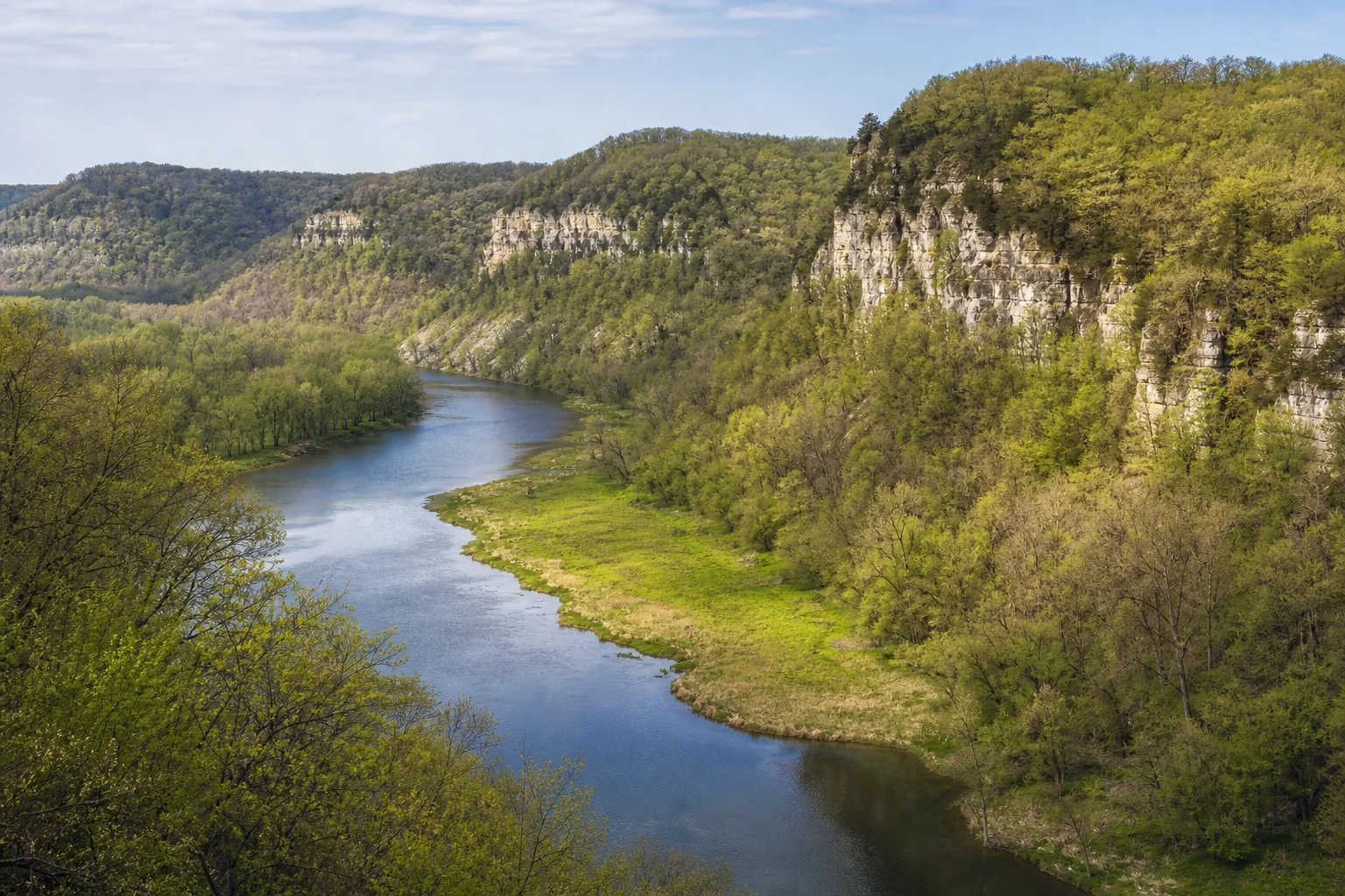
This list is the accessible alternative to the orientation diagram. Every county appears once and links to its canonical guide.
Explore canonical records for Cannon Lake, French Lake, Lake Zumbro, Cedar Lake and Albert Lea Lake. A single public identity is preserved when a named water crosses jurisdictional lines.
Explore named lakes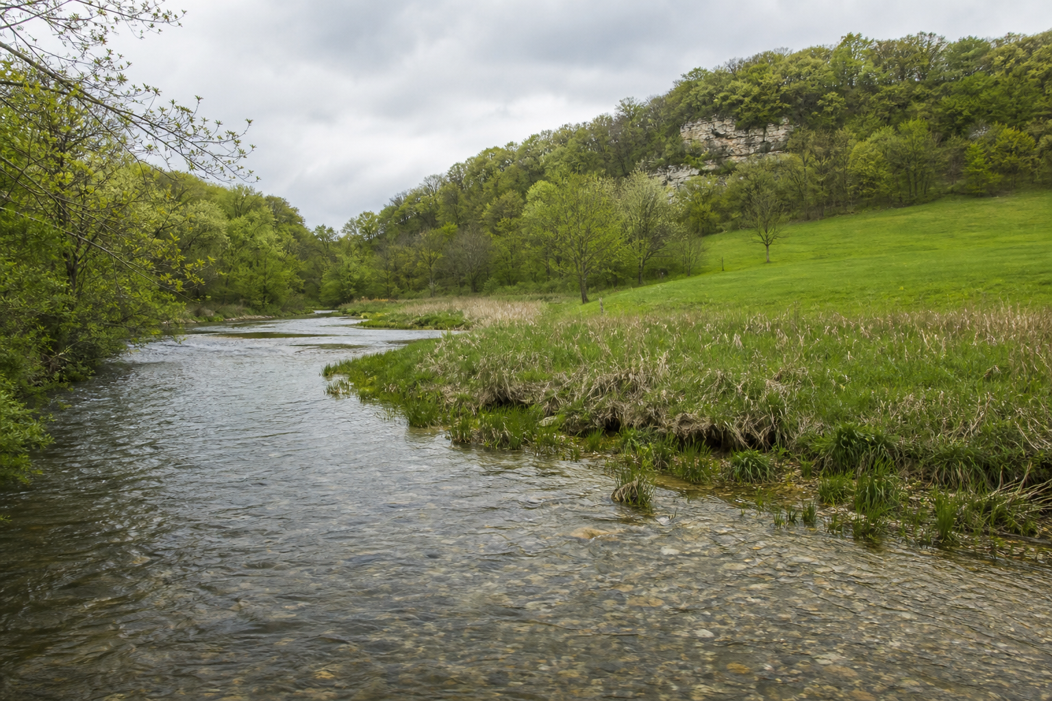
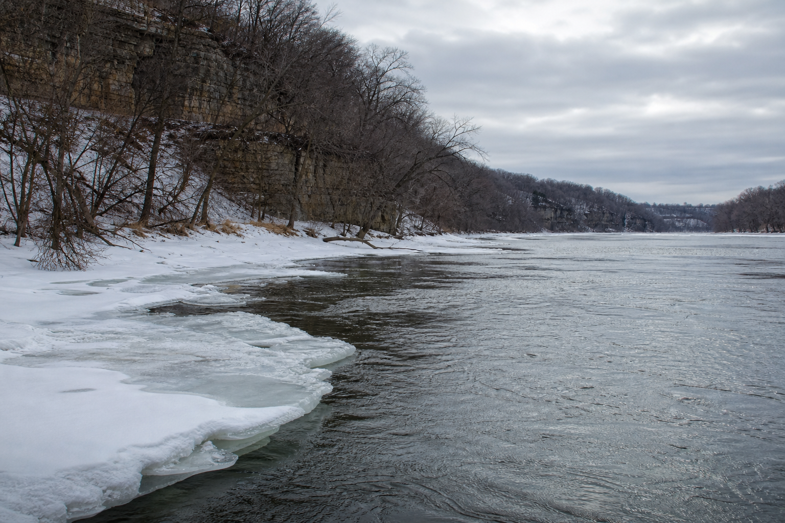
Continue through the Mississippi, Cannon, Root, Zumbro and Cedar river pathways. Conditions, currents, access, closures and water levels can change, so open the current responsible-agency source before launching or fishing.
Explore Minnesota rivers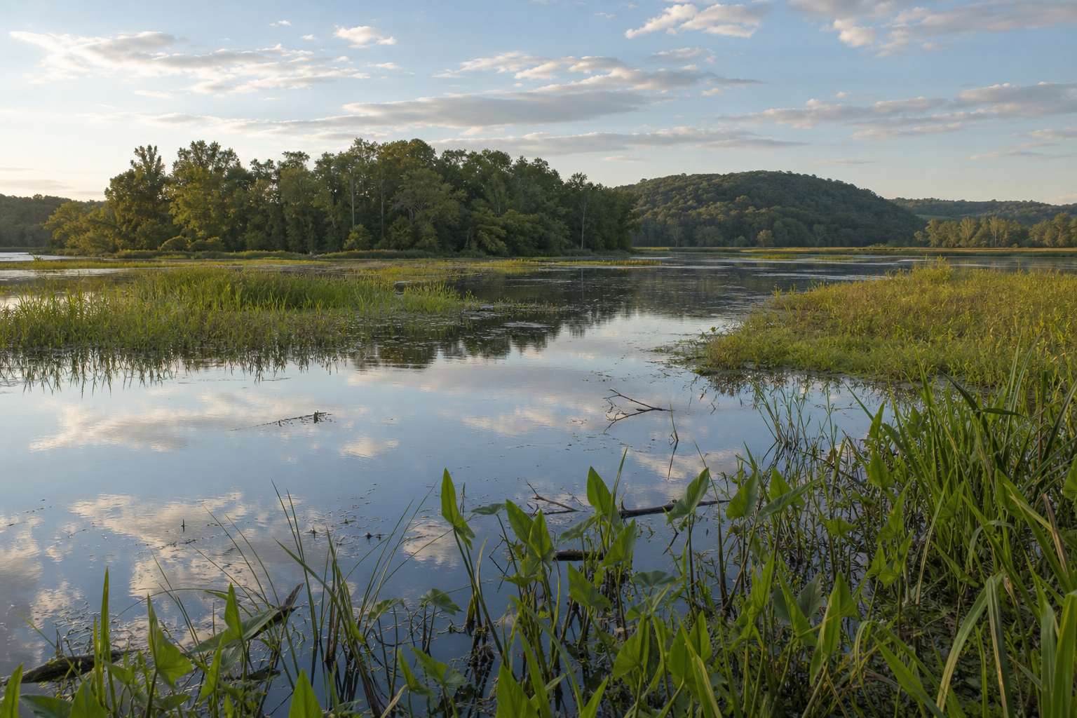
Groundwater, cold-water streams, wetlands, tributaries, lakes and Mississippi backwaters are connected within watersheds. Learn how watersheds work, why aquatic invasive species prevention matters, and where official monitoring records add context before a visit.
County guides provide the safest doorway to communities in this broad editorial region without guessing what is near a particular lake. Pair them with the current events directory and learning hub to explore public programs, water history and stewardship opportunities whose dates and locations have been source-checked.
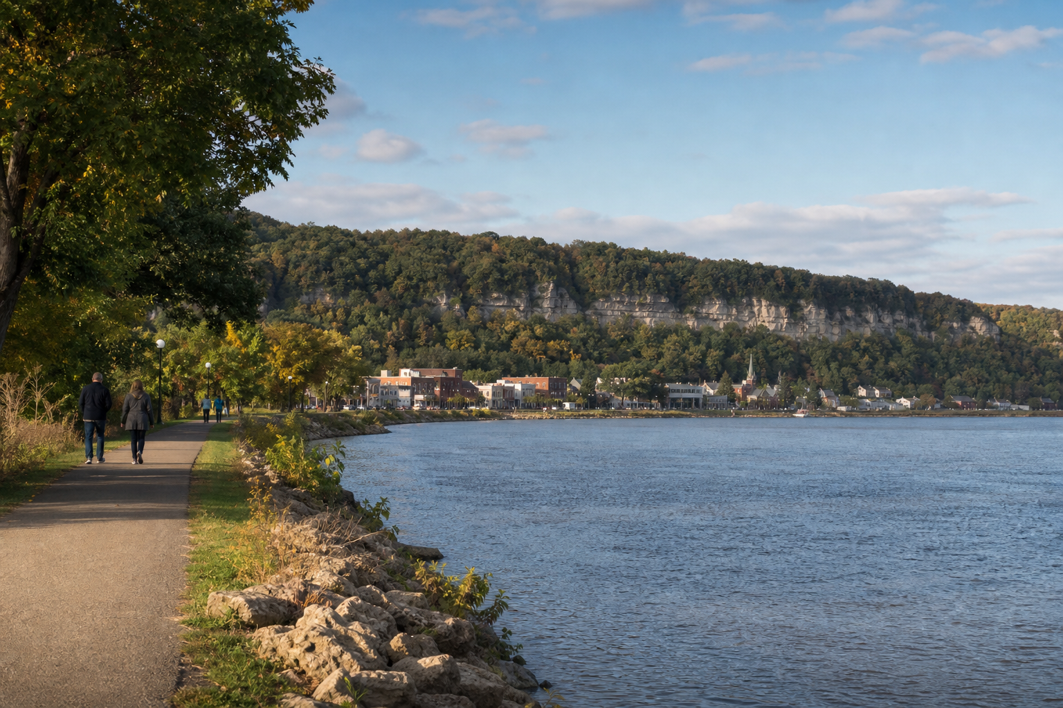
Warm months can combine lake paddling, river overlooks, fishing, trails and community events. Autumn brings bluff-country color with shorter daylight. Winter and spring demand extra attention to open current, ice, cold water and changing trail or launch conditions. Confirm current access, regulations, weather and event details with the responsible source.