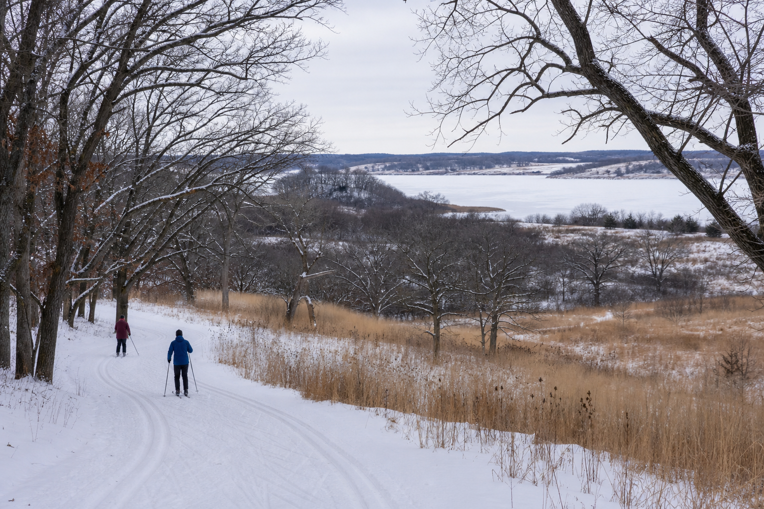
DNR lake ID 55000400
Zumbro
Lake Zumbro is the DNR-named river impoundment shared by Olmsted and Wabasha counties; this catalog preserves one canonical identity under Olmsted County.
Continue to the lake directory
Southeast Minnesota · urban water, reservoirs and bluff-country trails
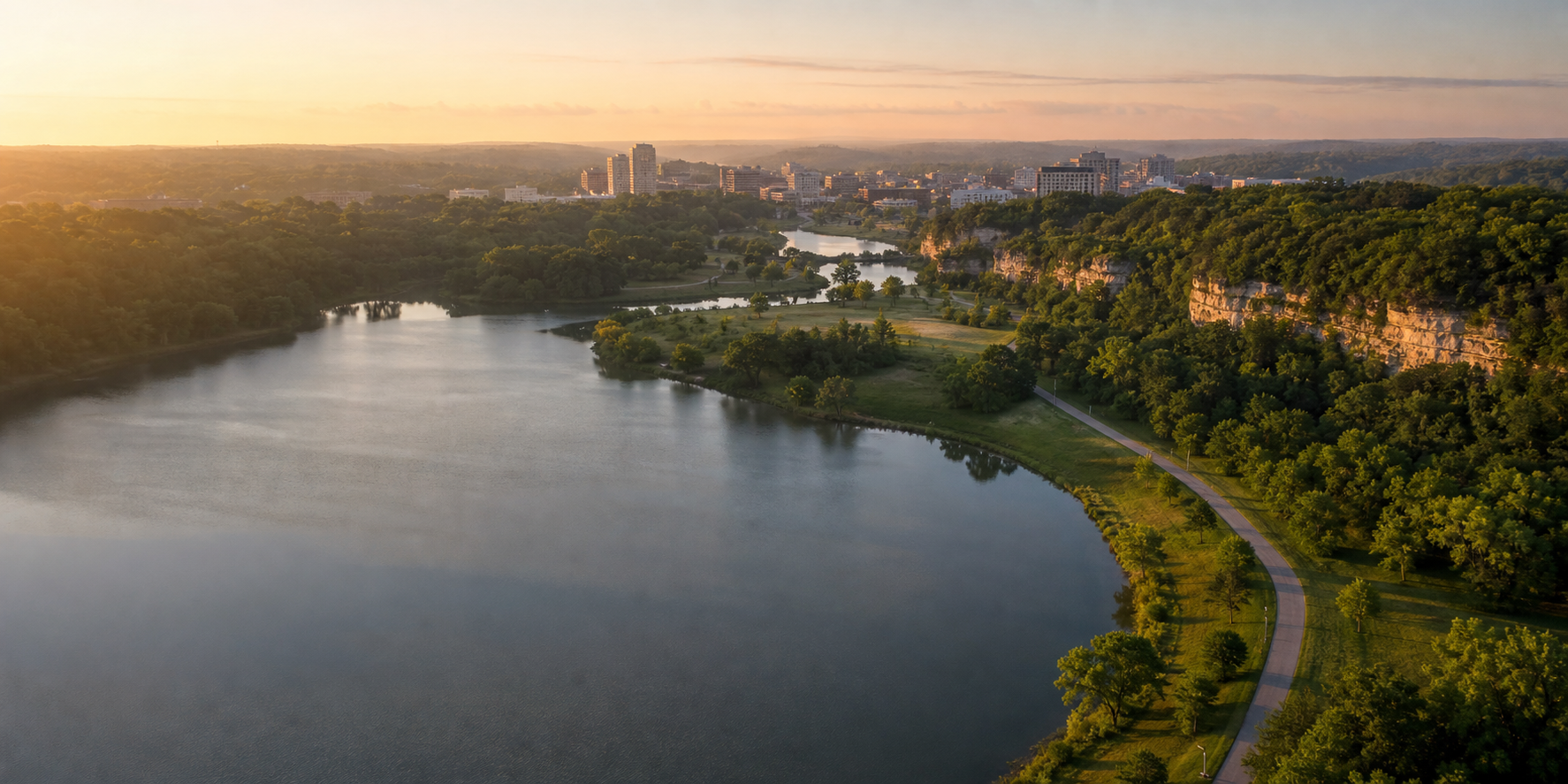
Olmsted County’s water story is built around Rochester and the Zumbro watershed. Silver Lake brings an urban impoundment into the city’s park system; Foster-Arend offers a managed cold-water fishery; Bear Creek Reservoir anchors Chester Woods Park east of Rochester; and Lake Zumbro follows the river north across the Wabasha County line.
Accessible orientation
Begin at Silver Lake Park in Rochester for the urban Zumbro corridor. Travel north toward Oronoco for Lake Zumbro, or east on Highway 14 to Chester Woods Park near Eyota. Foster-Arend Park lies in north Rochester. Use official maps for navigation and confirm current access with each manager.
Canonical named-lake discovery
This versioned starter catalog contains four verified named DNR basins, not a countywide total. Unnamed records are excluded—even when an alternative local name is familiar—and each DNR identity appears once.
DNR lake ID 55000400
Lake Zumbro is the DNR-named river impoundment shared by Olmsted and Wabasha counties; this catalog preserves one canonical identity under Olmsted County.
Continue to the lake directoryDNR lake ID 55000300
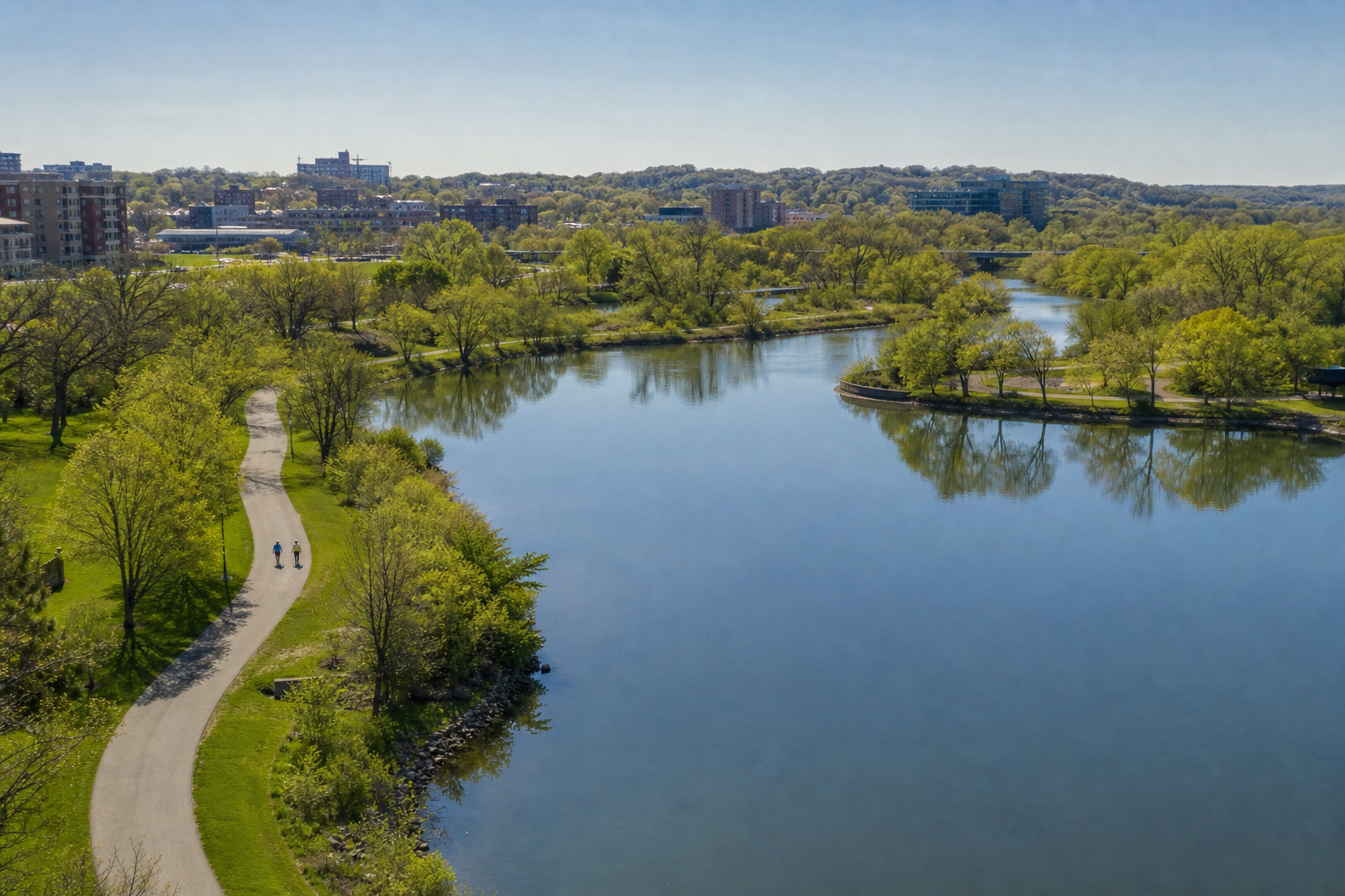
Silver Lake is the DNR-named urban impoundment in Rochester and the water focus of Silver Lake Park.
Continue to the lake directoryDNR lake ID 55000500
Shady Lake is a named DNR basin in Olmsted County; use LakeFinder to confirm current access and fisheries information.
Continue to the lake directoryDNR lake ID 55002200
Bear Creek Reservoir is the official name of the water at Chester Woods Park, where the county manages boating, fishing and shoreline recreation.
Continue to the lake directory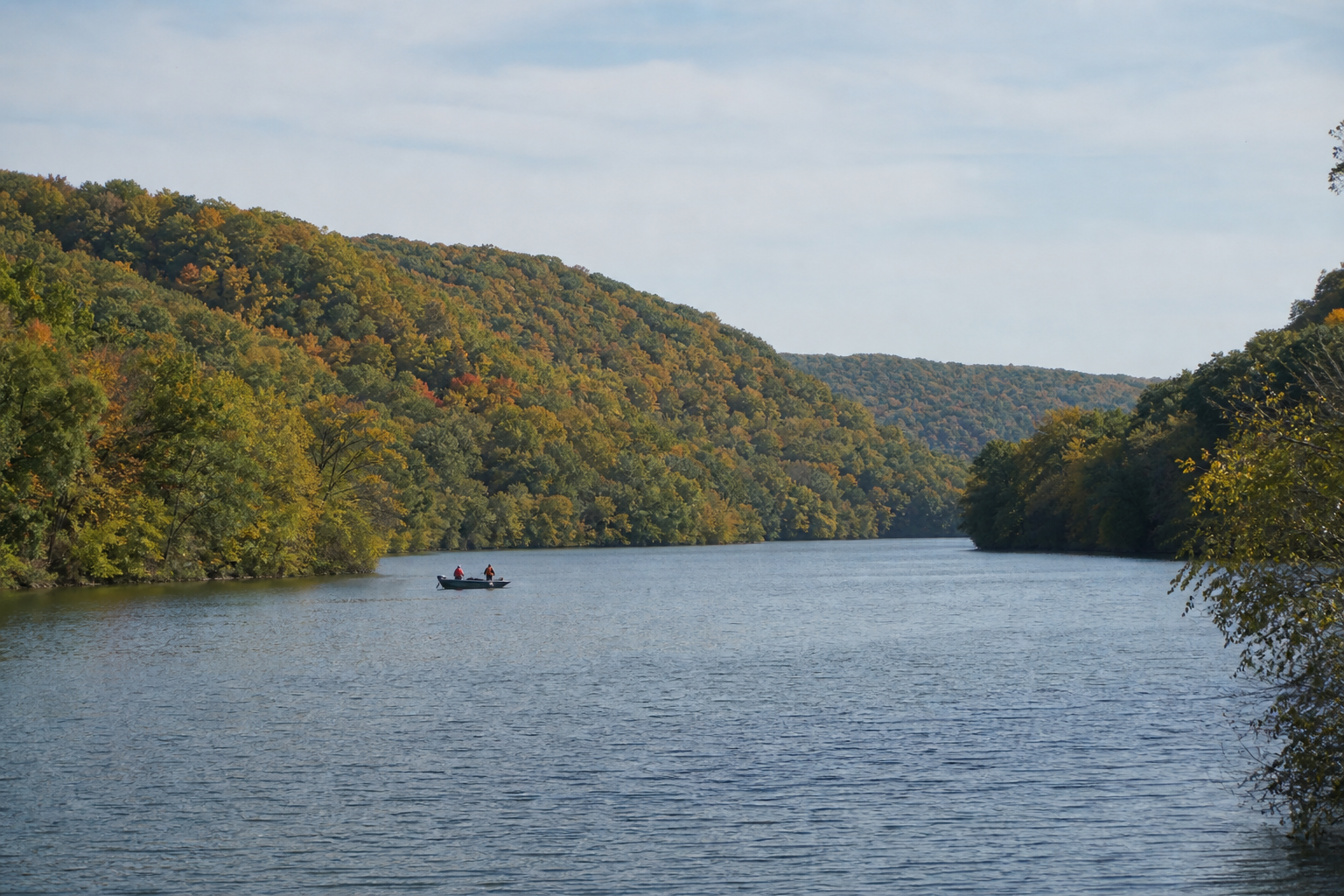
Verified park, trail and river
Access, camping, trail conditions and seasonal hours change. These official anchors establish the relationships; check the responsible manager before departure.
Olmsted County manages camping, camper cabins, trails, a beach, boat launch, fishing pier and watercraft rentals around Bear Creek Reservoir. Check current hours, accessibility and reservations.
Check Chester Woods ParkThe paved Douglas State Trail links Rochester and Pine Island through rural Olmsted County; check the DNR trail page for current conditions and permitted uses.
Check the state trailThe Zumbro River branches meet around Rochester and continue through Lake Zumbro toward the Mississippi. Water levels, dams and hazards require current official planning.
Check the water trail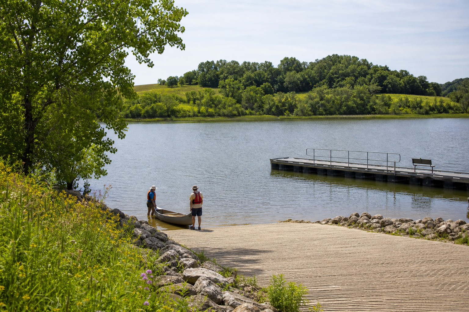
Fishing and clean-water practice
Official access maps identify fishing and boating locations, but species information, regulations, restoration work and ramp conditions can change. Confirm the exact DNR record in LakeFinder, then clean, drain and dispose before moving equipment.
Silver Lake, Bear Creek Reservoir and Lake Zumbro are impounded waters rather than interchangeable natural lakes. Their dams, water levels and managing agencies shape how visitors plan; official city, county, utility and DNR sources remain the current guides.
Four-season planning