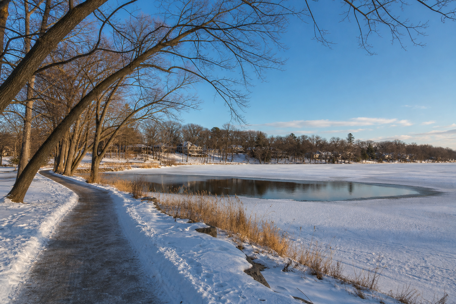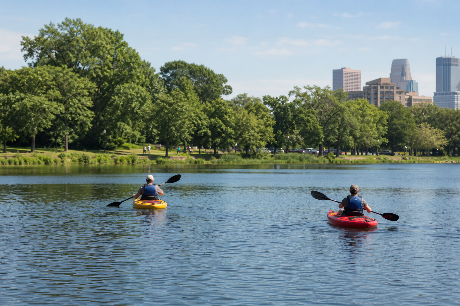
Lakes woven into communities
Explore canonical records for Lake Minnetonka, Bde Maka Ska, Lake Harriet, White Bear Lake and Prior Lake. A single public identity is preserved when a named water crosses jurisdictional lines.
Explore named lakes
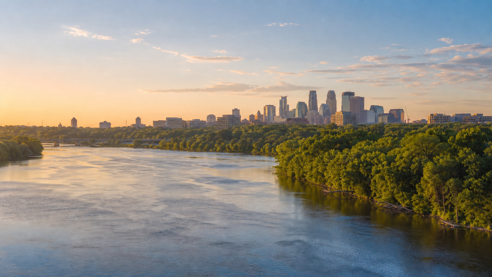
Trace the Mississippi, Minnesota and St. Croix rivers through a region where neighborhood lakes, wetlands, river bluffs and public park systems meet the Twin Cities and surrounding communities. Seven county guides turn that water network into practical ways to explore.
Choose a countyThe Mississippi River passes through the metropolitan core, the Minnesota River joins it near Fort Snelling, and the St. Croix forms the region’s eastern water corridor. Lakes and wetlands occupy glacially shaped terrain across the seven counties. Use county, lake and watershed records for precise boundaries and conditions.
Sources: official references listed on this page · reviewed July 27, 2026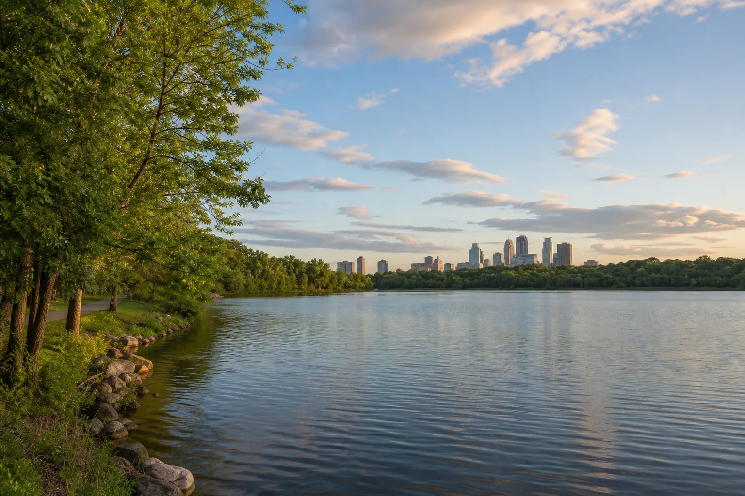
This list is the accessible alternative to the orientation diagram. Every county appears once and links to its canonical guide.
Explore canonical records for Lake Minnetonka, Bde Maka Ska, Lake Harriet, White Bear Lake and Prior Lake. A single public identity is preserved when a named water crosses jurisdictional lines.
Explore named lakes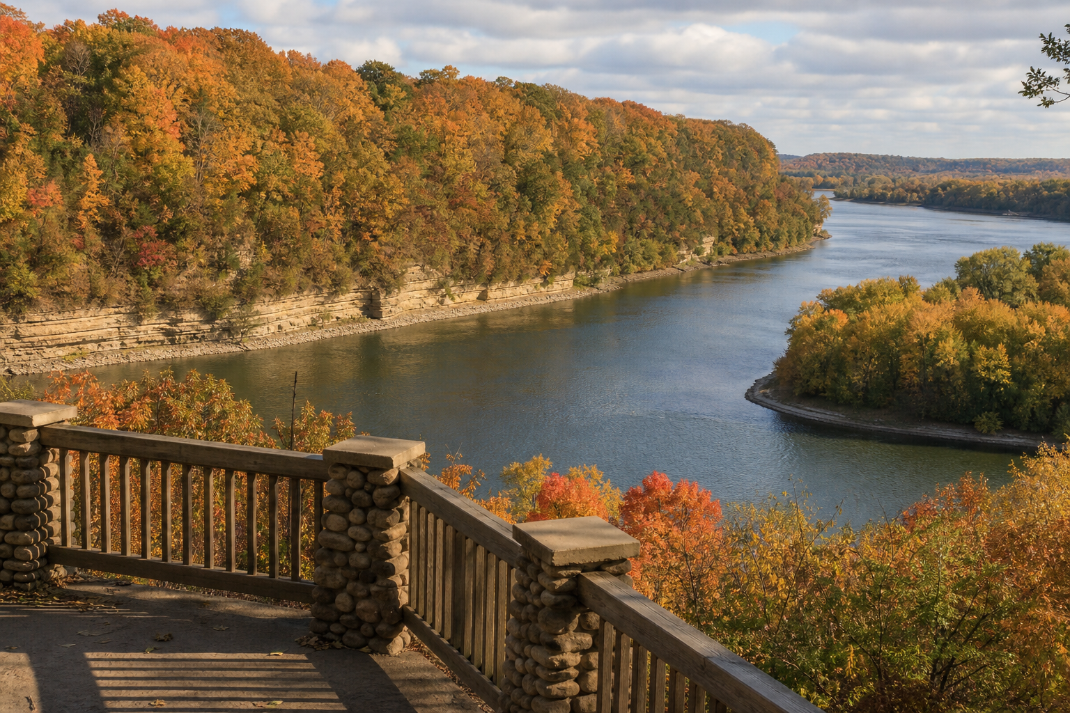
Continue through the Mississippi, Minnesota and St. Croix river pathways. Conditions, currents, access, closures and water levels can change, so open the current responsible-agency source before launching.
Explore Minnesota rivers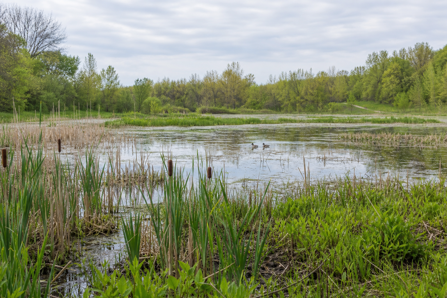
Stormwater, wetlands, tributaries, lakes and rivers are connected. Learn how watersheds work, why aquatic invasive species prevention matters, and where official monitoring records can add context before visiting a particular water.
Warm months can combine shore walks, paddling, boating, fishing and community events. Autumn shifts daylight and weather. Winter and spring demand extra attention to ice, cold water and changing trail or launch conditions. Confirm current access, regulations, weather and event details with the responsible source.