Skip to content
Five ways into Minnesota water

Find the landscape that calls you outside.

Move from open prairie water to rocky northern shorelines, city lakes, and bluff-country rivers. Choose a region to reveal its counties and begin a trip.

Choose on the map
Your starting point

Choose one of five discovery regions.

This accessible map is a navigation guide, not an official State of Minnesota administrative map. Every county appears once in the project’s five-region system.

County membership: MinnesotaLakes Core registry · reviewed July 27, 2026

Compare the landscapes

Water changes character across Minnesota.

Each region pairs a distinct landscape orientation with exact county membership and pathways into named lakes, rivers, and recreation.

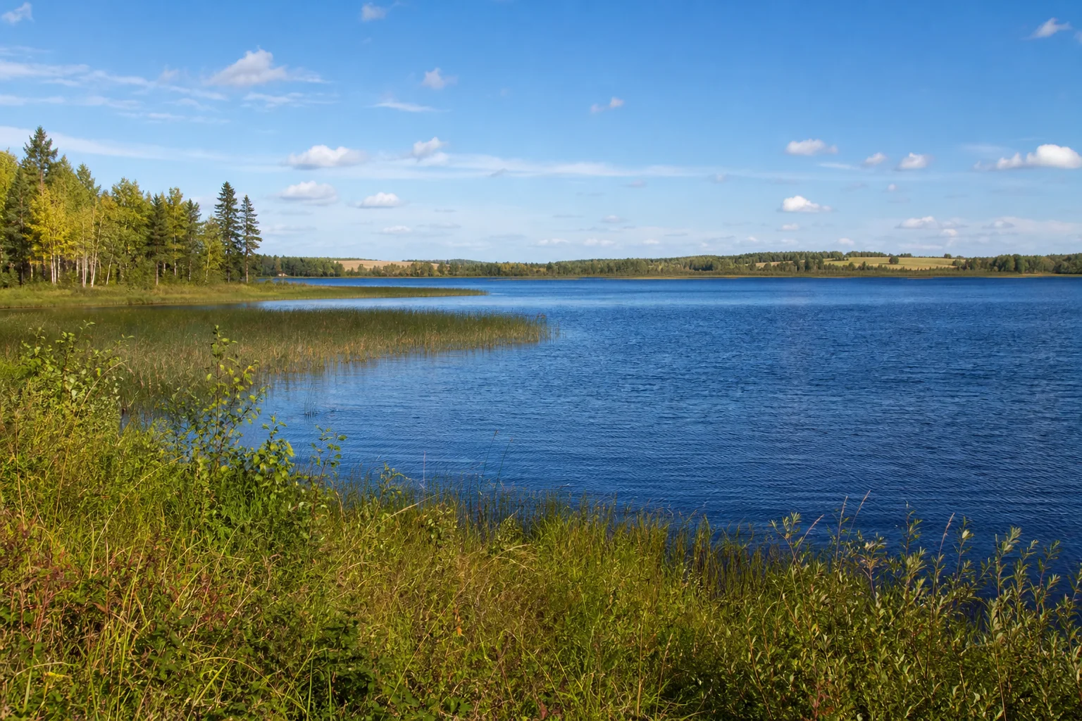
Illustrative northwest Minnesota lake with reeds, mixed forest, and prairie on the horizon.

Northwest

Big lakes, linked basins, forest shorelines, and prairie edges make this the broadest lake-country sweep.

Begin with lake chains and headwaters, then follow county guides toward parks, trails, and communities.

Named waters to discoverRed Lake · Lake of the Woods · Leech Lake
River pathwaysMississippi River · Red River of the North · Rainy River
Counties in this region (30)
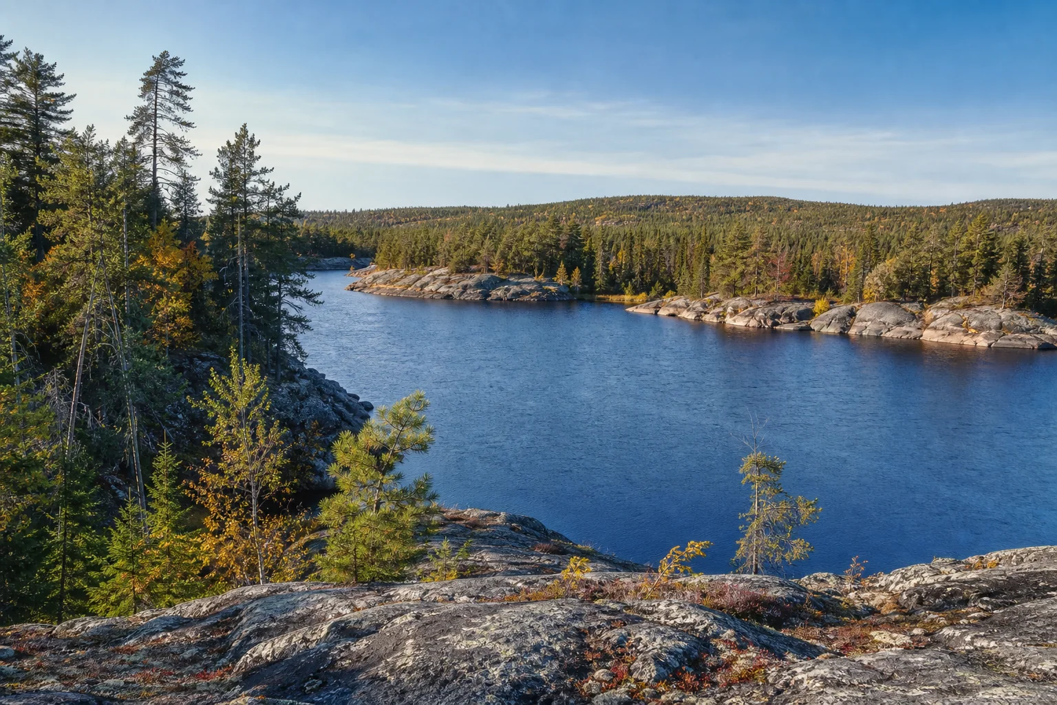
Illustrative northeast Minnesota inland lake ringed by bedrock and boreal forest.

Northeast

Exposed bedrock, boreal forest, inland lakes, and the Lake Superior watershed give the northeast a rugged water character.

Choose between inland canoe country, forest-and-lake routes, and the tributaries that descend toward Lake Superior.

Named waters to discoverLake Superior · Mille Lacs Lake · Rainy Lake
River pathwaysSt. Louis River · Cloquet River · Kettle River
Counties in this region (12)
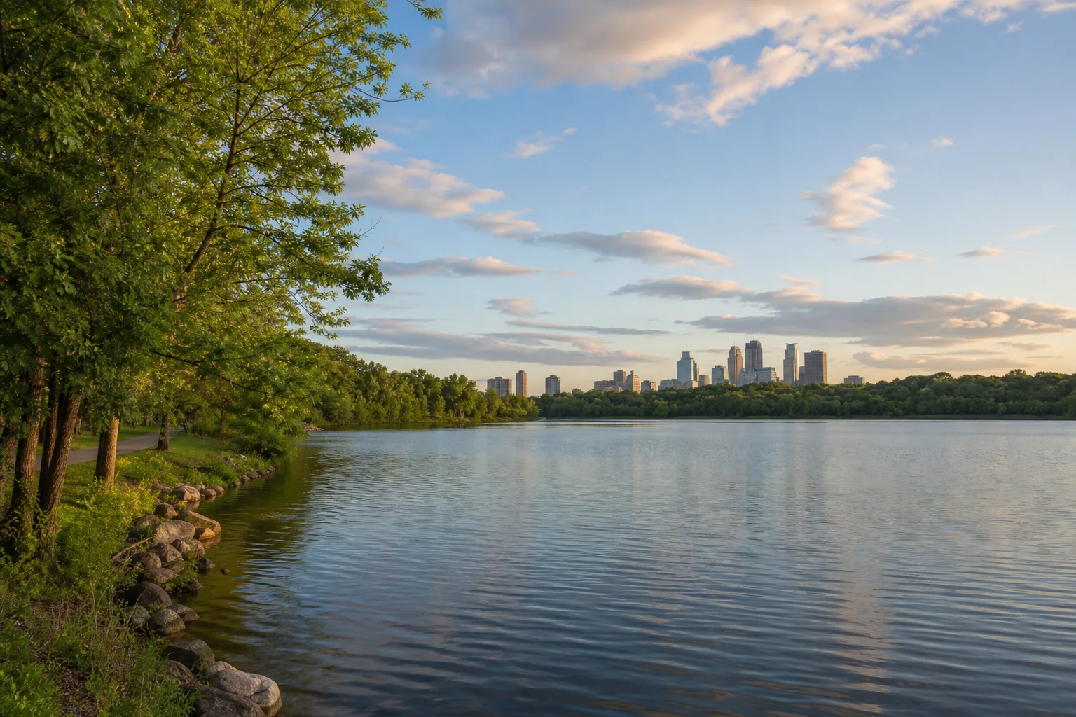
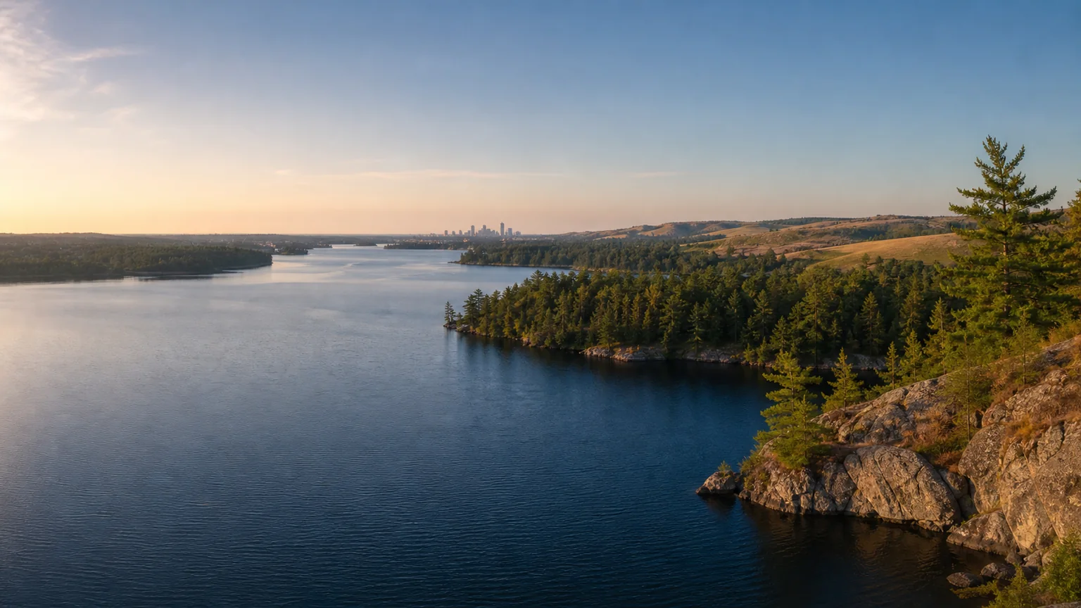
Illustrative Metro Minnesota lake with park shoreline, trail, and distant skyline.

Metro

Urban and suburban lakes meet the Mississippi, Minnesota, and St. Croix river corridors in a region rich in public parks and trails.

Use county guides to connect neighborhood-scale water with regional parks, river overlooks, paddling, and transit-friendly outings.

Named waters to discoverLake Minnetonka · Bde Maka Ska · White Bear Lake
River pathwaysMississippi River · Minnesota River · St. Croix River
Counties in this region (7)
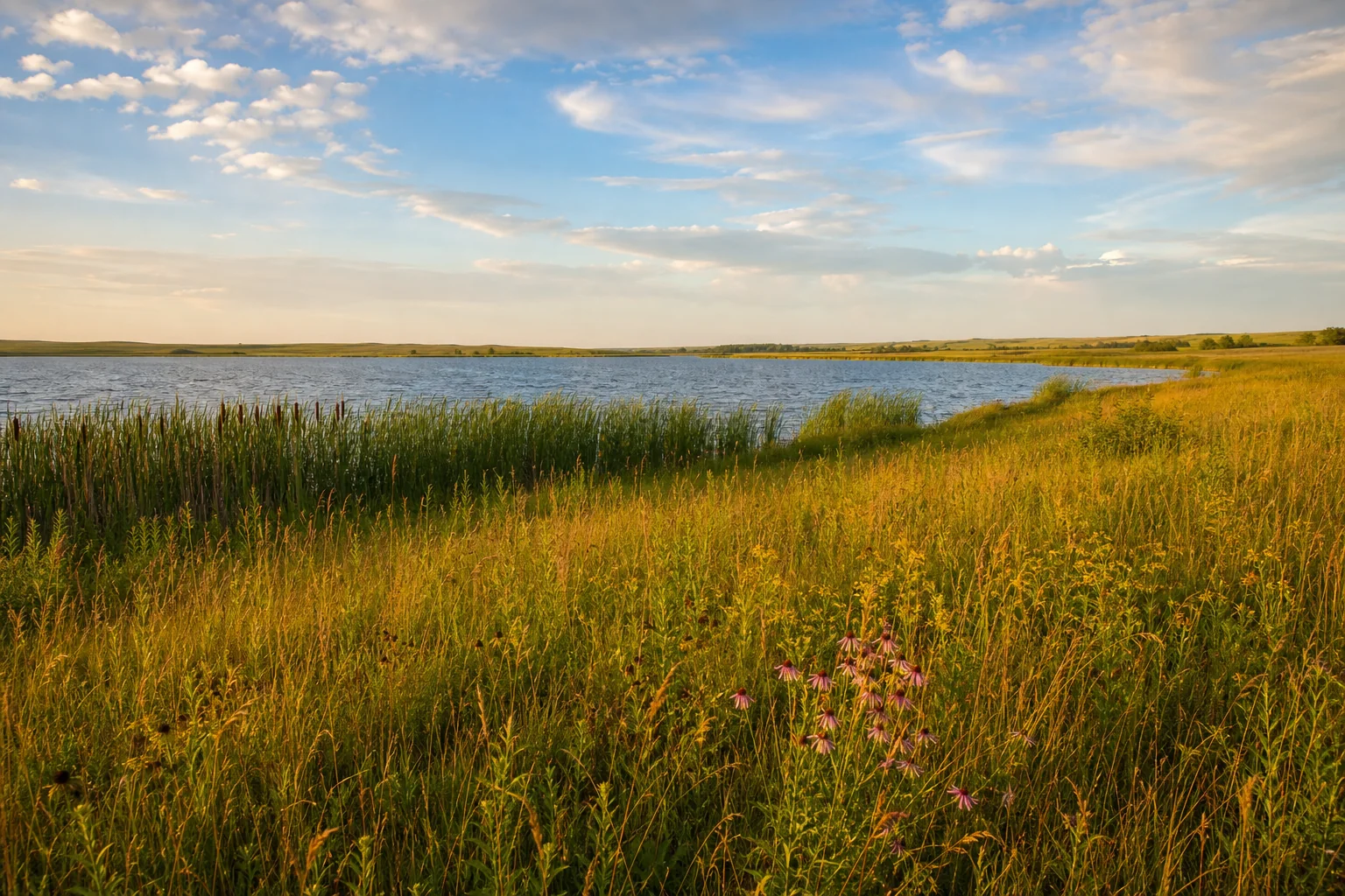
Illustrative southwest Minnesota prairie lake edged by reeds and tallgrass.

Southwest

Prairie lakes, wetlands, reservoirs, and long river valleys sit beneath open horizons shaped by glacial deposits.

Plan around wind and weather, then pair a lake stop with prairie, waterfowl, biking, or river-valley discovery.

Named waters to discoverBig Stone Lake · Lake Shetek · Green Lake
River pathwaysMinnesota River · Des Moines River · Cottonwood River
Counties in this region (27)
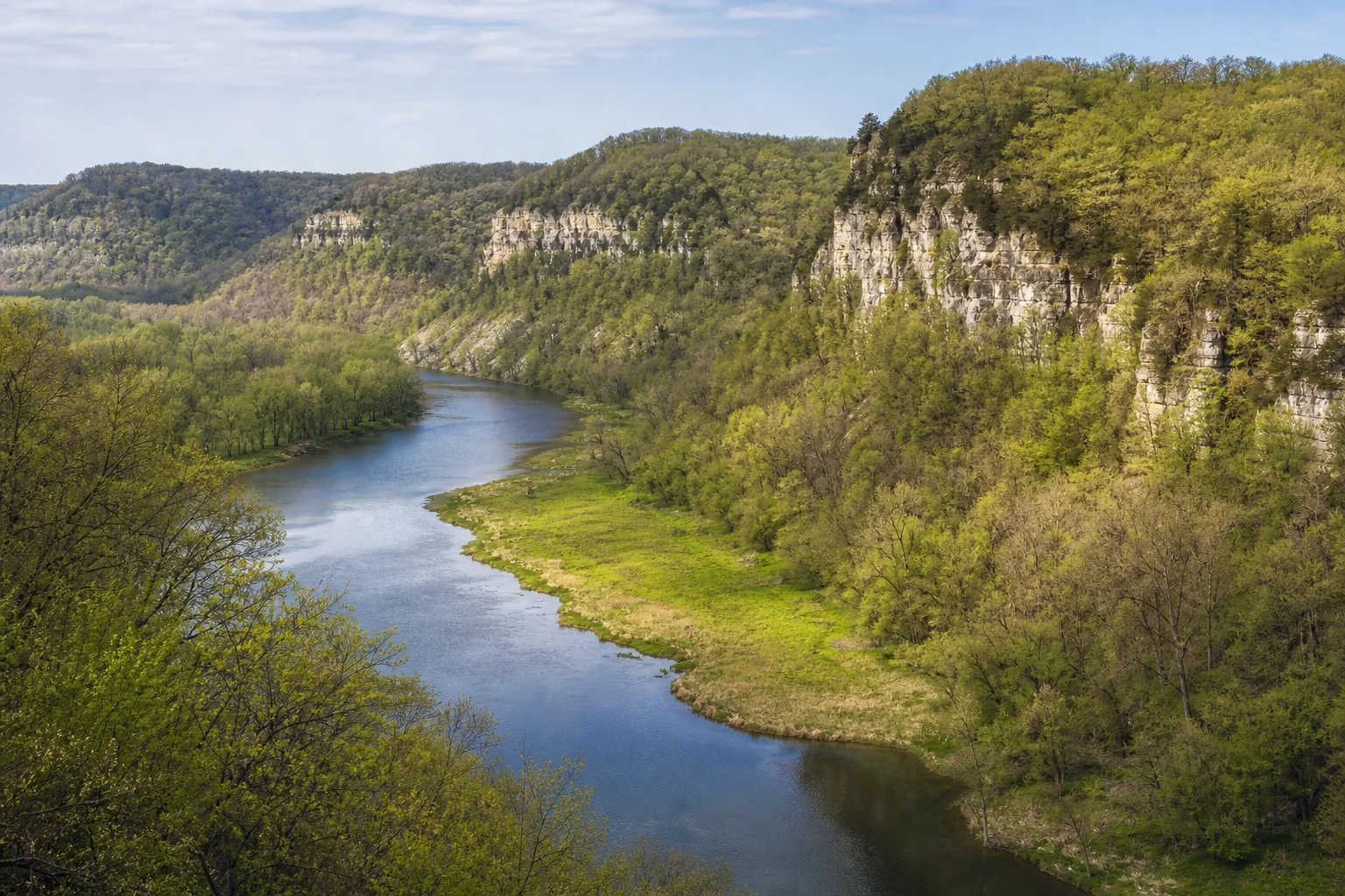
Illustrative southeast Minnesota river curving below wooded limestone bluffs.

Southeast

Wooded bluffs, limestone valleys, spring-fed streams, and the Mississippi floodplain create Minnesota’s most deeply folded water landscape.

Follow river valleys and bluff roads, then slow down for trout-water learning, paddling, hiking, and small-city waterfronts.

Named waters to discoverLake Pepin · Lake Zumbro · Fountain Lake
River pathwaysMississippi River · Root River · Cannon River
Counties in this region (11)
Minnesota at water scale

Start with the largest, then find your own scale.

Lake Superior is Minnesota’s largest bordering lake. Red Lake is the largest lake entirely within Minnesota. Area figures below are statewide orientation—not a ranking of project regions.

20,364,800acres · Lake Superior, Minnesota’s largest bordering lake
288,800acres · Red Lake, largest entirely within Minnesota
Source: Minnesota DNR Water Facts · slow-changing reference · reviewed July 27, 2026Open the DNR source
Build a lake day

Turn a region into a trip.

Choose a county, open a named-water profile, compare recreation ideas, and confirm current conditions with the responsible source before leaving.